Kalos Limen: An Ancient Greek Harbor City in Ukraine
Site at a Glance
- Popularity
- Medium
- Country
- Ukraine
- Primary era
- Classical
- Eras represented
- Classical, Medieval
- Civilizations
- Ancient Greek
- Site type
- City
On this page12 sections
History
Kalos Limen was an ancient Greek harbor city on the northwestern coast of the Tarkhankut Peninsula in Ukraine, founded in the fourth century BC by Ionian settlers, Greek-speaking people from western Anatolia. Its name means “Beautiful Harbor.” Agriculture supported the city, while its fertile farmland and convenient harbor attracted stronger neighbors. By the end of the fourth century BC, Chersonesus, another ancient Greek city in Crimea, had taken control.
Scythian and Greek rule
Scythian and Sarmatian raids in the third century BC led the Greeks to reinforce existing defenses and build a new defensive line beside the bay. The city fell to the Scythians in the second century BC and became, alongside Kerkinitis, one of the main maritime ports of the Late Scythian state, a polity in Crimea. Kerkinitis was another Greek city, near modern Yevpatoria.
In the late second century BC, the Greek general Diophantus led an expedition that defeated the Scythians and their Sarmatian allies, restoring Greek control over Kalos Limen and Kerkinitis. Two public honorific decrees commemorated the campaign: one praised Diophantus, and the other the Chersonesian force that captured Kalos Limen. By the middle of the first century BC, the city was again under Scythian rule. Sarmatians invading from the northern steppes destroyed it in the first century AD, ending its existence as a prosperous center.
Later identification and archaeological work
An anonymous fourth-century AD coastal sailing guide, the Periplus of the Euxine Sea, placed Scythian Kalos Limen in Chersonesian territory, 700 stadia from Kerkinitis. It also gave the distance from Chersonesus to Kerkinitis as 600 stadia. These ancient units varied in length, from about 177 to 210 metres, and the distances followed the coast rather than straight lines. The description helped locate Kalos Limen on the northwestern coast of the Tarkhankut Peninsula.
Italian nautical charts from the thirteenth to sixteenth centuries preserved a distorted version of the name, Kalo-Limena, associated with Ak-Mechet Bay. The name later disappeared from the charts. Excavations began in 1929 under L. A. Moiseyev, director of the Chersonesus Museum, and archaeological investigations have continued. Annual excavations have included student teams from Russia led by V. A. Kutaisov, who also headed the reserve.
A local-history museum devoted to Kalos Limen was founded in central Chornomorske in 1987. A historical-archaeological reserve was established in 1997 to study and promote the site, which is also described as a national park. Kalos Limen is listed as a cultural heritage property of federal significance in the Russian registry and as a local cultural heritage monument in Ukrainian records.
Remains
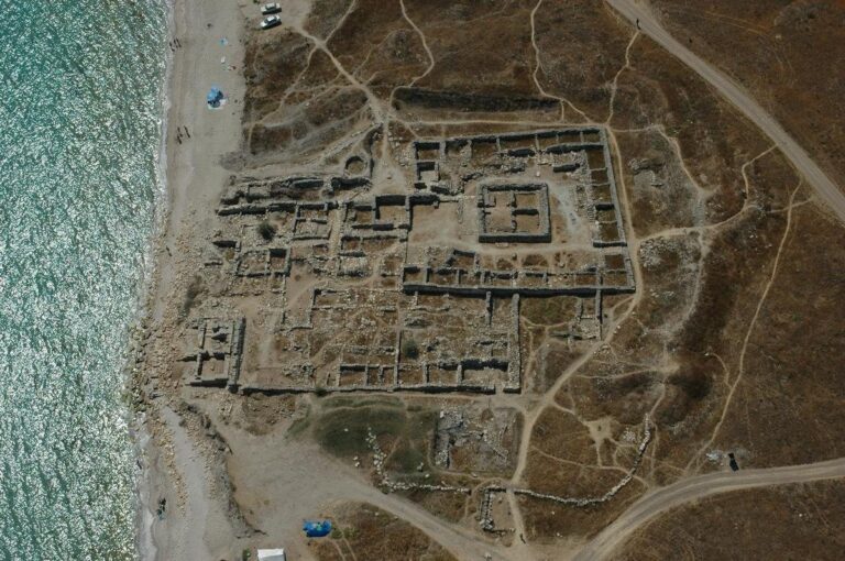
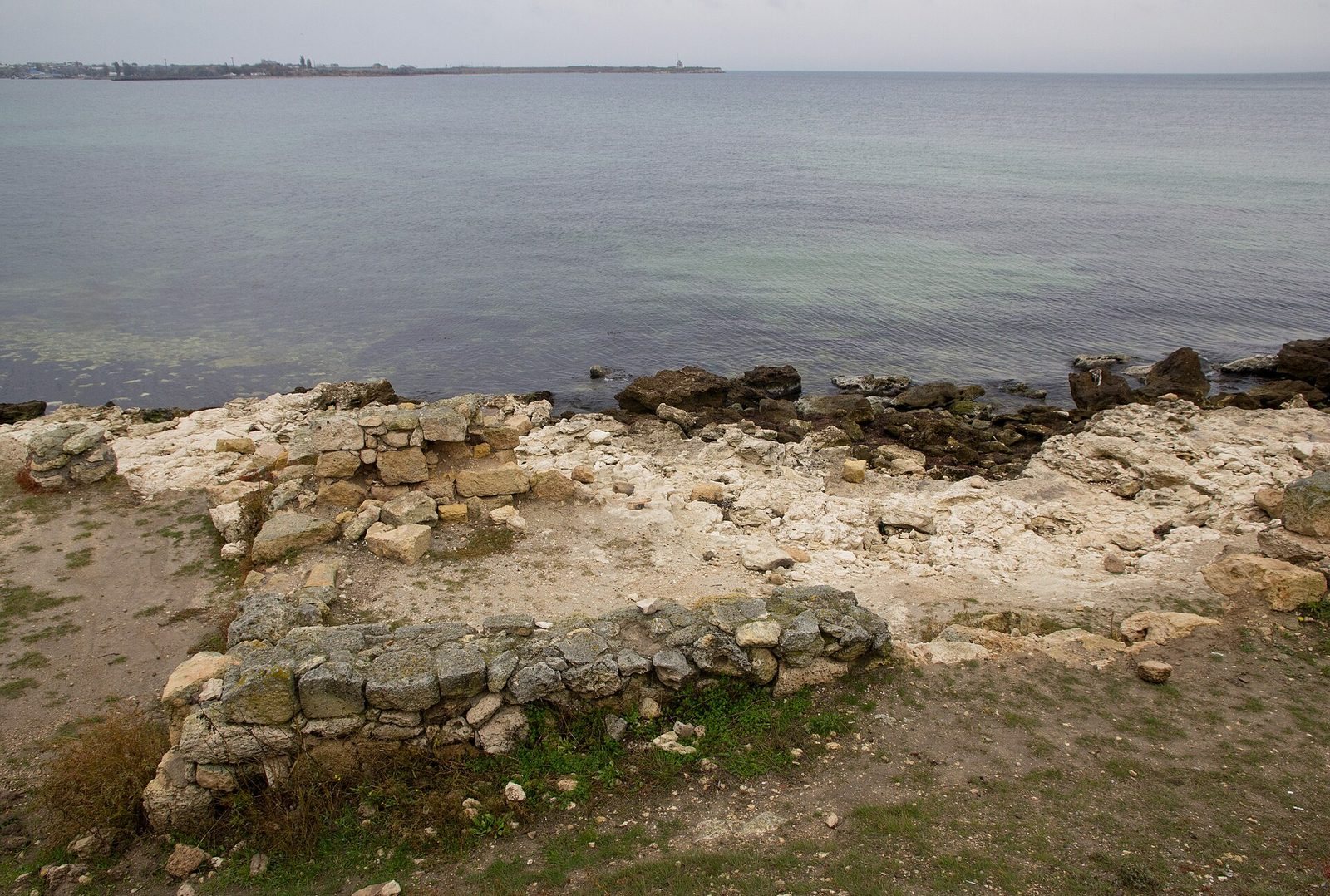
The roughly four-hectare city occupied a promontory on a rocky ridge beside Ak-Mechet Bay, with low rocky cliffs to the north and a sand spit to the south. Its walled center lay among separate harbor sites, while agricultural plots extended along the bay.
Fortifications and civic center
Fortification walls and citadel
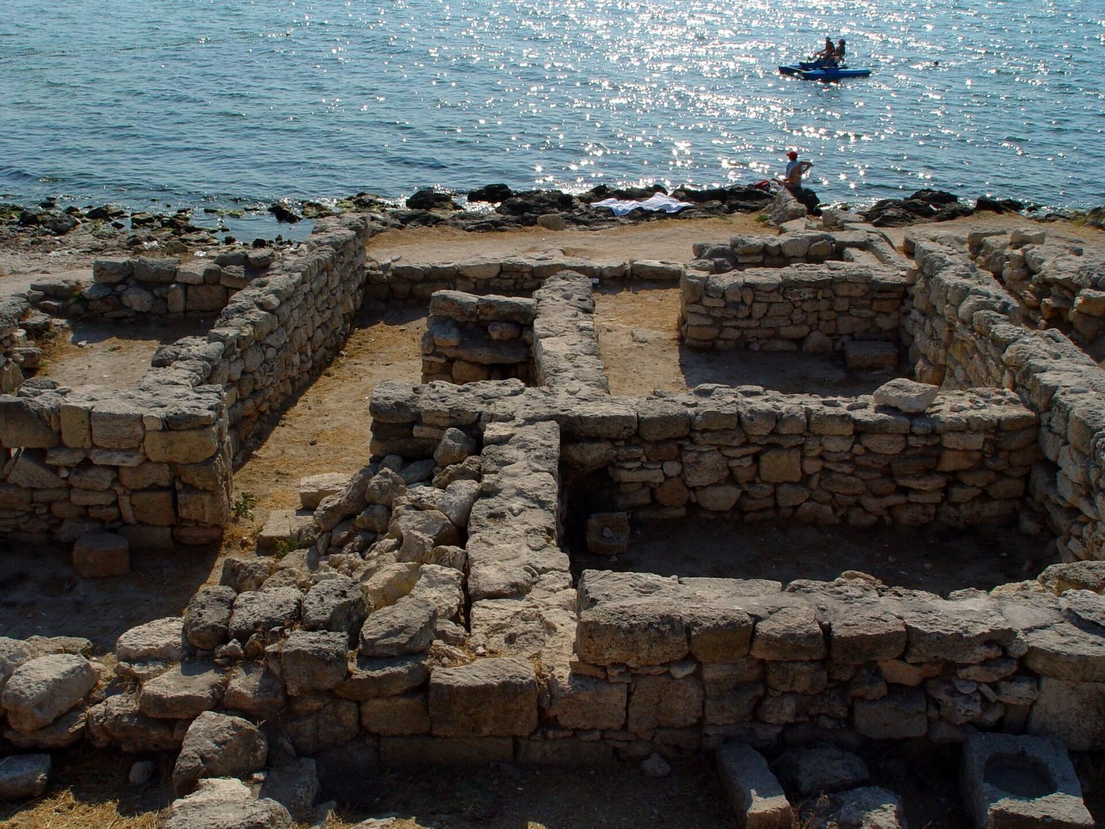
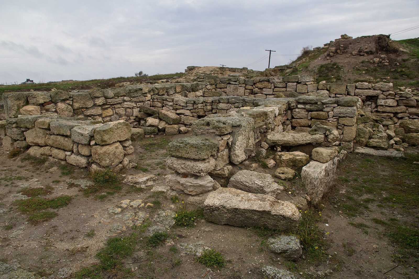
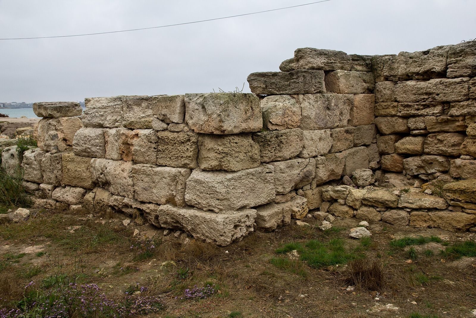
Fortification walls with square towers enclosed the city. A multi-towered citadel beside the bay formed a later defensive line. Excavations have exposed parts of the fortress and houses, including a tower and a stretch of wall, while much of the ancient defensive works lies underwater.
Lighthouse
A lighthouse about 16 metres high is said to have had storage cellars for provisions in a siege. Its upper floors held a command post and stone-throwing weapons positioned to control the entrance to the bay.
City gates and main street
The central gates and main street have been fully excavated. The street was paved with slabs, some of which retain the tracks of carts.
Harbors and agricultural land
Harbors
One harbor lay north of the settlement and another to the south. Both have since dried up.
Agricultural plots and estates
The city’s chora, its associated agricultural territory, extended along Ak-Mechet Bay within a radius of about two kilometres. The land was divided into plots, usually with an estate near the center. Some estates had round residential towers. Where owners were less concerned about steppe raids, buildings were rectangular, with living and farm rooms arranged around a central courtyard.
Saltovo-Mayaki settlement
A settlement associated with the Saltovo-Mayaki culture, an archaeological culture of medieval steppe communities, also occupied the ancient city site. Its elongated buildings had two or three rooms and turf roofs. Pottery from the settlement bears linear and wave patterns.