Huánuco Pampa: An Inca Administrative and Ceremonial Center in Peru
Site at a Glance
- Popularity
- High
- Country
- Peru
- Primary era
- Medieval
- Eras represented
- Medieval, Early Modern
- Civilizations
- Inca
- Site type
- City
On this page18 sections
History
Inca foundation and administration
Huánuco Pampa was an Inca administrative center on a plateau in Peru. Its construction is attributed to the ruler Túpac Yupanqui, and the city belongs to the Late Horizon, the Andean period associated with Inca imperial rule, and the transition from Inca to Spanish control. Inca occupation began around 1470 and continued until an uncertain endpoint around 1529. The city served as the capital of Chinchaysuyu, one of the empire’s four political divisions, and stood midway on a route between Cusco and Tomebamba, as well as on a major road linking Cusco with Quito.
From Huánuco Pampa, Inca authorities governed at least five ethnic groups. The population is estimated at about 16,000, though most people who came to the city did not reside there permanently. Many arrived to carry out duties, provide goods as obligations, or attend ceremonies. Among the important permanent residents were the aqllakuna, women selected for service in Inca religious or state institutions.
The city may also have served as a major center for redistributing goods from other regions to provincial settlements. Large stores could help sustain its population when deliveries varied, demand changed, or shortages and failures in supply systems threatened provisions. The plateau also had communities identified, from north to south, as Chumipata, Guellaycancha, and Aguamiro.
Spanish occupation and relocation
During the Spanish conquest of the Inca realm, the conquistador Gómez de Alvarado founded a Spanish town at Huánuco Pampa in 1539. Spanish occupation of the site is dated to about 1539–1542, but the town was moved in 1541 to the Pillco Valley, about 63 kilometres east. The relocation followed the harsh climate and raids led by Illa Tupac, a captain of Manco Inca, who led resistance to Spanish rule. The new settlement stood on the Huallaga River, at the site of present-day Huánuco.
Research and modern commemoration
Archaeological research in the 1970s and 1980s was led by anthropologist Edward Craig Morris. In 2004, José Luis Pino led astronomical studies involving researchers from the National University of San Marcos, the University of Florida, and Yale University. Peru recognizes Huánuco Pampa as Cultural Heritage of the Nation.
A modern Festival of the Sun, the Fiesta del Sol, has been held at the site since 1997 as part of a revival of Inca ceremonies.
Remains
Urban layout
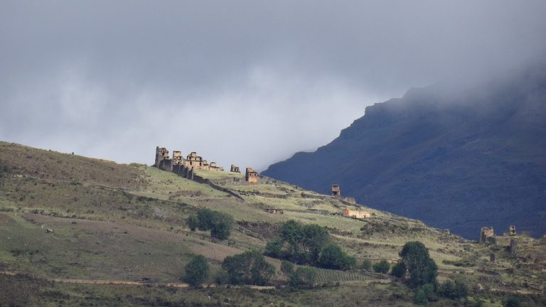
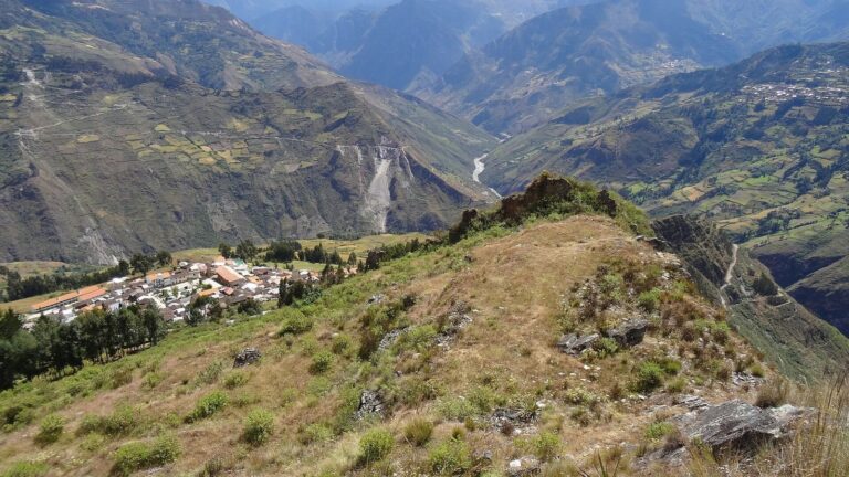
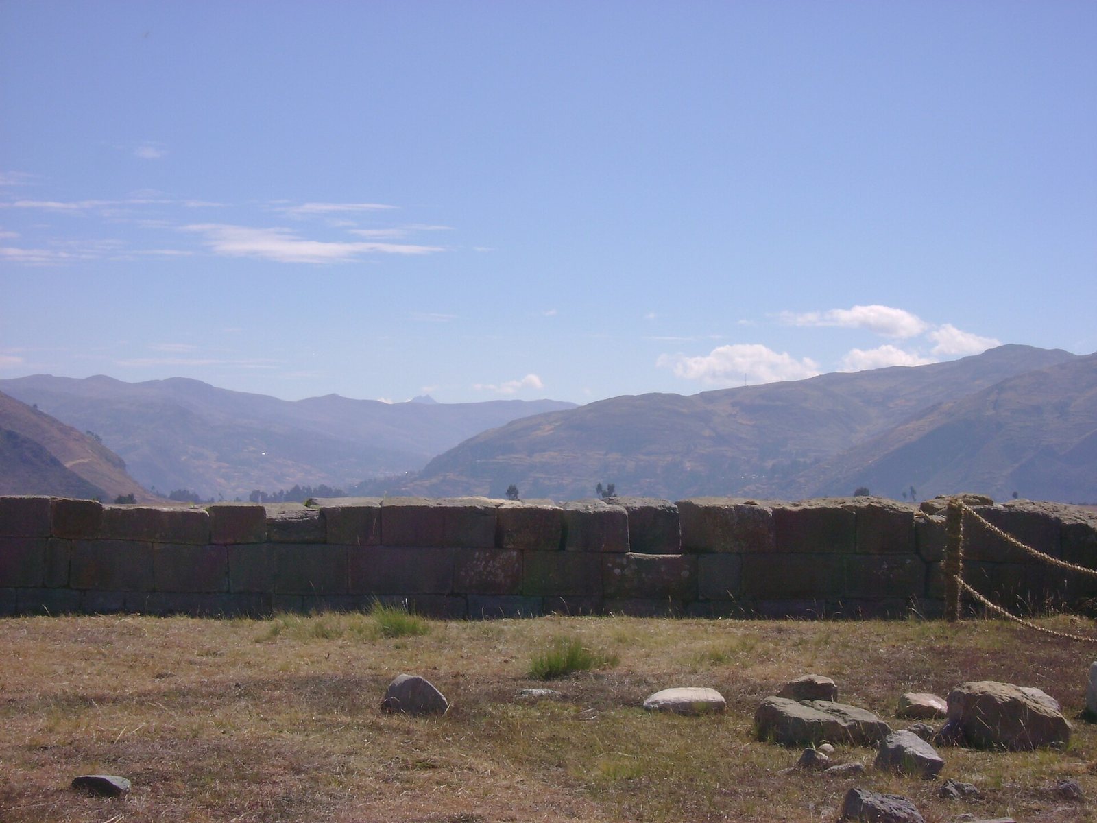
The city occupies a plateau about 3,625 metres above sea level, overlooking the Vizcarra River, also called the Urqumayu. Ravines surround the plateau and aided its defence. The urban area covered about two square kilometres and contained more than 4,000 buildings. Paths radiated from the main plaza through architectural sectors, dividing the city into 12 parts. The plan has been interpreted as expressing relationships among local ethnic groups. Huánuco Pampa was one of at least six centers conceived in the image of Cusco, the Inca capital.
Central plaza and ceremonial buildings
Main plaza
The rectangular main plaza measured about 550 by 350 metres, covering more than 19 hectares. The imperial road crossed it from southeast to northwest, following an arrangement also found at Cusco.
Ushnu
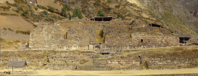
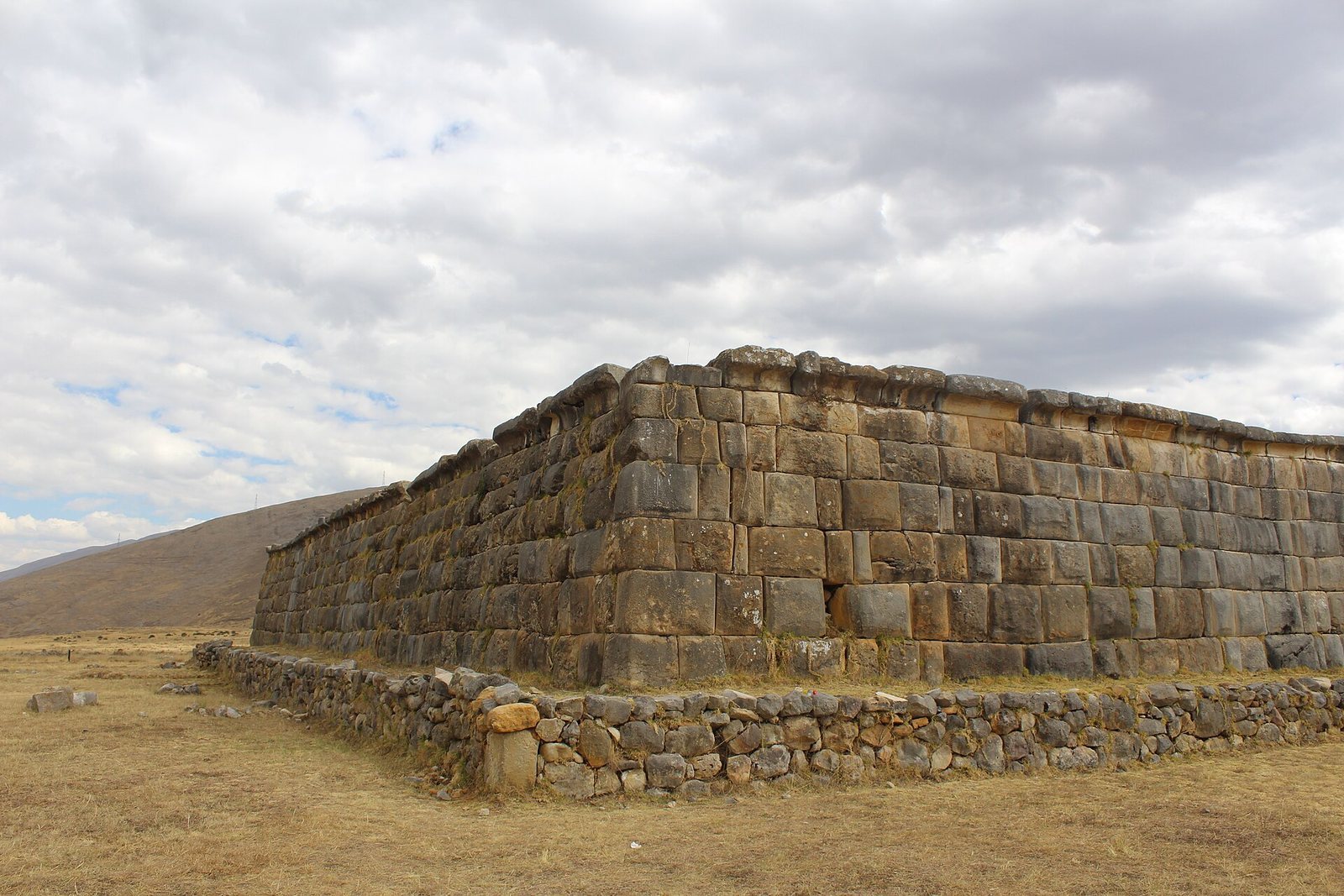
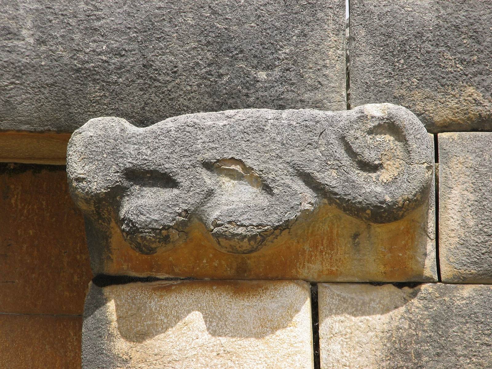
The ushnu, a raised platform for public and state ceremonies, formed part of the ceremonial center. This solid structure stood about 10 metres high and was built from finely cut, closely fitted Inca stonework. A throne-like seat stood above it, where officials could preside over ceremonies. The platform may also have hosted political and administrative events. Two smaller buildings on the east side of its lower terrace may have been used for ceremonies there. Stone sculptures at its gates may depict pairs of pumas. The structure has also been described as an oratory associated with the Sun, a central deity in Inca state religion.
House of the Inca
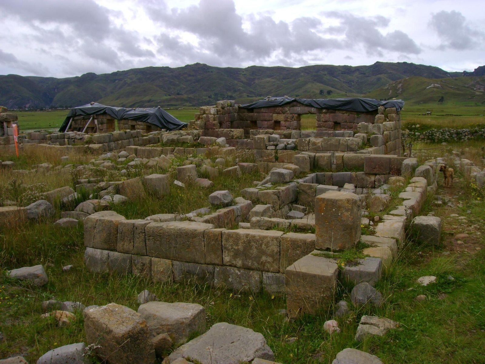
The House of the Inca, known as the Casa del Inca, comprised 15 structures opening onto a central courtyard. These included residences, stone baths, terraces, sunken gardens, and pools. The complex may also have been intended to include a temple, but it may not have been completed before the city was abandoned. Three trapezoidal portals in the ceremonial center bore high-relief carvings of pumas. Finely fitted stone gates decorated with figures and carved pumas provided access to the House of the Inca. Connecting walls used pirqa, fieldstone construction set in mud.
Kallankas
Large buildings called kallankas stood on the east side of the central plaza. They were built with fieldstone-and-mud masonry rather than finely cut stone. Their purpose is uncertain; proposed uses include barracks and facilities for counting or storing goods.
Residential quarters and storage
Residential and work areas
The northern and southern quarters were mainly residential, while common housing occupied the western area. Houses were rectangular, with trapezoidal niches in their interior walls, and were generally built with two stone faces enclosing rubble and mud. Many stood around central courtyards. A formally arranged compound in the north had a barrack-like layout. The northern part of the city also included a textile-making sector.
Storehouses
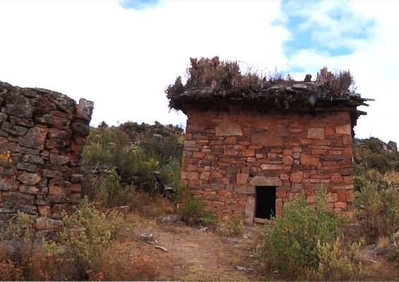
The storage area contained 497 qullqas, or storehouses, and 30 buildings for processing and administration. Built with fieldstone-and-mud masonry, the storehouses stood in rows. The largest group, in the south, held long-term supplies in specialized buildings. A western group may have stored offerings to the Sun and accommodated the Inca during visits; other isolated groups were associated with shrines or ceremonies. A northern group may have held goods for temporary use or contained weaving workshops.
Storage arrangements varied by crop. Root vegetables were tied into bundles, layered in straw, and kept in rectangular buildings. Shelled maize was placed in large jars inside circular storehouses with stone floors. Highland root crops occupied an estimated 50–80 percent of storage space, while maize accounted for about 5–7 percent.
Roads and water supply
Road network
Roads through the city formed part of the Inca imperial road system. Their features included paved surfaces, stairways, stone drainage channels, retaining walls, and bridges or causeways. Some road sections were about 15 metres wide, and a paved stairway measured about 16 metres across. Certain stretches had two parallel roads.
Canals, baths, and pools
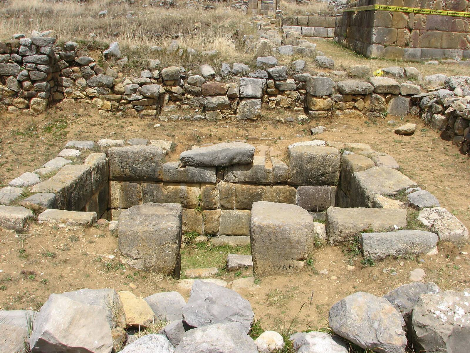
Canals carried water from the plaza area to buildings, baths, and pools. One larger pool measured about 65 by 35 metres. The site also included a bathing area and a canal supplying it.
Ceremonial pottery
Inca pottery found at Huánuco Pampa, particularly painted ware in the Cusco style, is associated with ceremonies. The pottery was used in ritual events rather than for ordinary daily tasks.