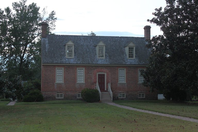
Henricus: An Early English Colonial Settlement in Virginia
Site at a Glance
- Rating
- 4.7
- Popularity
- Low
- Country
- United States
- Primary era
- Early Modern
- External website
- Open
- Eras represented
- Early Modern
- Civilizations
- English
- Site type
- City
On this page11 sections
History
Henricus is an early English colonial settlement in Chester, Virginia, United States, founded in 1611 by Sir Thomas Dale during the early period of the Colony of Virginia. Dale established it as an alternative to Jamestown’s swampy and dangerous location. Named for Henry Frederick, Prince of Wales, the settlement became the second successful English settlement in the New World and one of the westernmost outlying communities governed from Jamestown.
Foundation and the First Anglo-Powhatan War
Henricus, also known as Henricopolis, Henrie Town, and Henrico, stood on Farrar’s Island beside a former meander of the James River. It faced the Indigenous village of Arrohateck during the First Anglo-Powhatan War, the early armed conflict between the English colony and the Powhatan Confederacy, a political alliance of Indigenous communities in the Tidewater region. The settlement therefore occupied a frontier position while Powhatan forces continued to resist English expansion.
In 1612 and 1613, a nearby facility called Mt. Malady was built as the first hospital in the English colonies of North America. Henricus also became associated with Pocahontas, the daughter of Powhatan, who was held captive there under Dale, then deputy governor of Virginia. Reverend Alexander Whitaker converted her to Christianity during her captivity. She met John Rolfe at this time, and they married on April 5, 1614, in a ceremony presided over by Richard Buck. Their son, Thomas Rolfe, was born in 1615.
The proposed College of Henrico
The Virginia Company, the joint-stock company that governed Virginia as a proprietary colony, sought to establish an institution of higher education at Henricus. In 1618, King James I granted a royal charter for the proposed University of Henrico. The following year, the First Virginia General Assembly, the colony’s representative legislative body, asked men to build the college as a work of conversion and set aside land adjacent to and above the settlement.
In 1619, Henricus was incorporated into the City of Henrico. During the Indian massacre of 1622, the governor ordered the fort abandoned, and Powhatan forces subsequently destroyed much of the settlement. By 1623, more settlers occupied the college land than before the attack. In 1624, James I dissolved the Virginia Company, took control of its assets, and changed Virginia from a proprietary colony into a royal colony. A later plaque from the College of William and Mary attributes that institution’s origins to the college proposed at Henrico.
Landownership and later military history
Henricus later became part of the Shire of Henrico, created in 1634 and renamed Henrico County in 1637. William Farrar acquired the property in 1637, and his descendants sold it to Thomas Randolph in 1737. The area later witnessed military activity during the American Revolutionary War, the Bermuda Hundred Campaign of the American Civil War, and the 1865 Battle of Trent’s Reach, one of the last major naval engagements of the Civil War, fought offshore.
During the Civil War, Union General Benjamin Butler ordered troops to excavate the narrow neck of Farrar’s Island. The resulting Dutch Gap Canal allowed vessels to bypass Confederate artillery batteries along the James River. The canal was widened in 1870 and became the river’s main channel, while the former channel later filled with silt.
Archaeology and preservation
Chesterfield County annexed the former Henricus location south of the Dutch Gap Canal from Henrico County in 1922. Later sand and gravel mining, the construction and operation of Chesterfield Power Station, and adjoining coal-ash lagoons further altered the area. The exact position of the former town became uncertain because of the Dutch Gap works, quarrying, and other disturbances.
Archaeological excavations took place before the site was listed on the National Register of Historic Places in 1972. It had already been designated on the Virginia Landmarks Register in 1971. A historically based reconstruction was subsequently created nearby as Henricus Historical Park, a living-history museum. The park and the Dutch Gap Conservation Area form part of the Captain John Smith Chesapeake National Historic Trail.
Remains
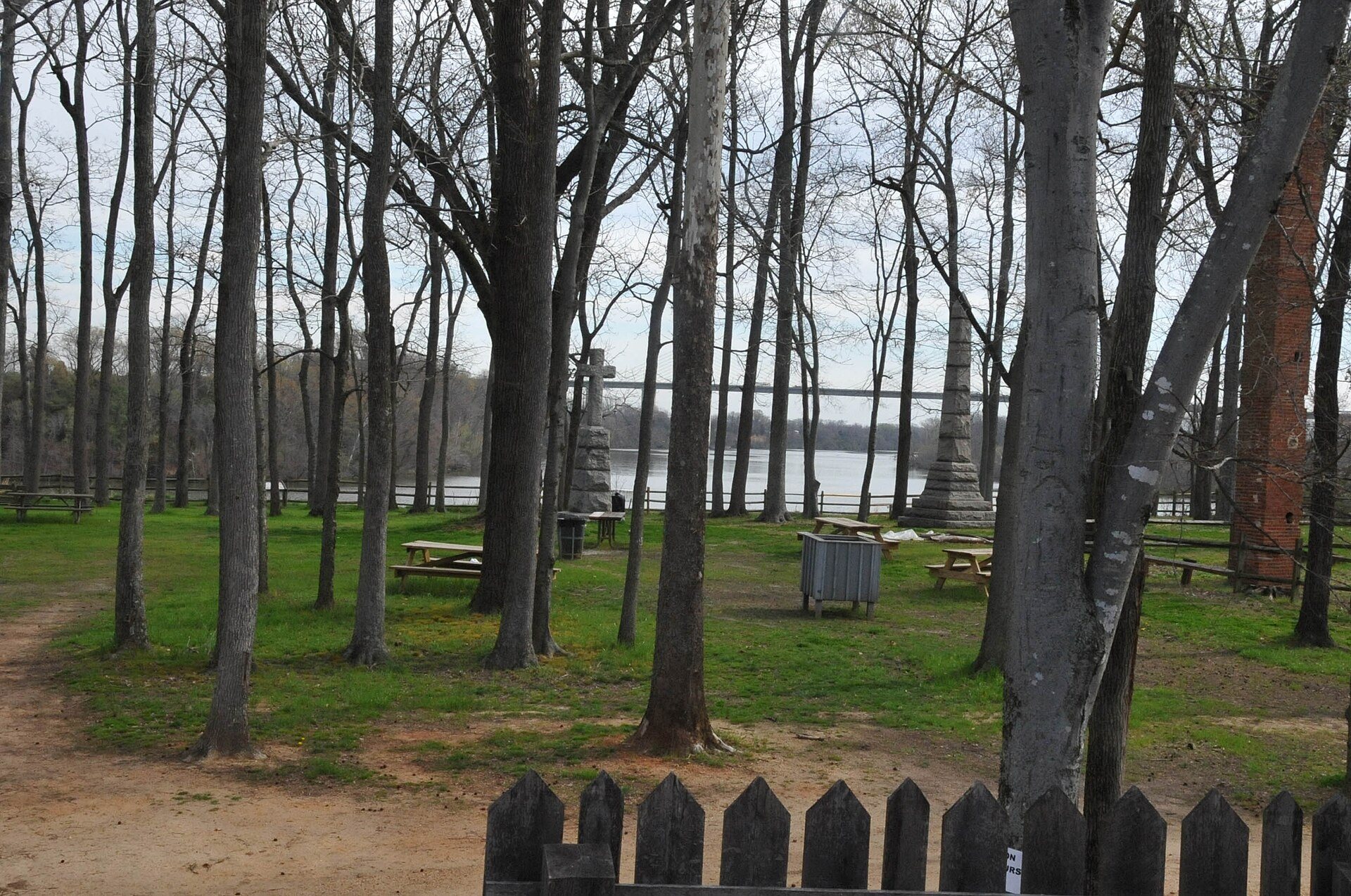
The Henricus landscape occupies a former bend of the James River on Farrar’s Island, about 12 miles southeast of present-day Richmond and roughly 15 miles below the fall line. The listed archaeological area covers 12 acres, or about 4.9 hectares, in Chesterfield County. The reconstructed settlement and the archaeological area lie within a broader preserve of woodlands and wetlands shaped by the creation of Dutch Gap.
Reconstructed settlement
Henricus Historical Park
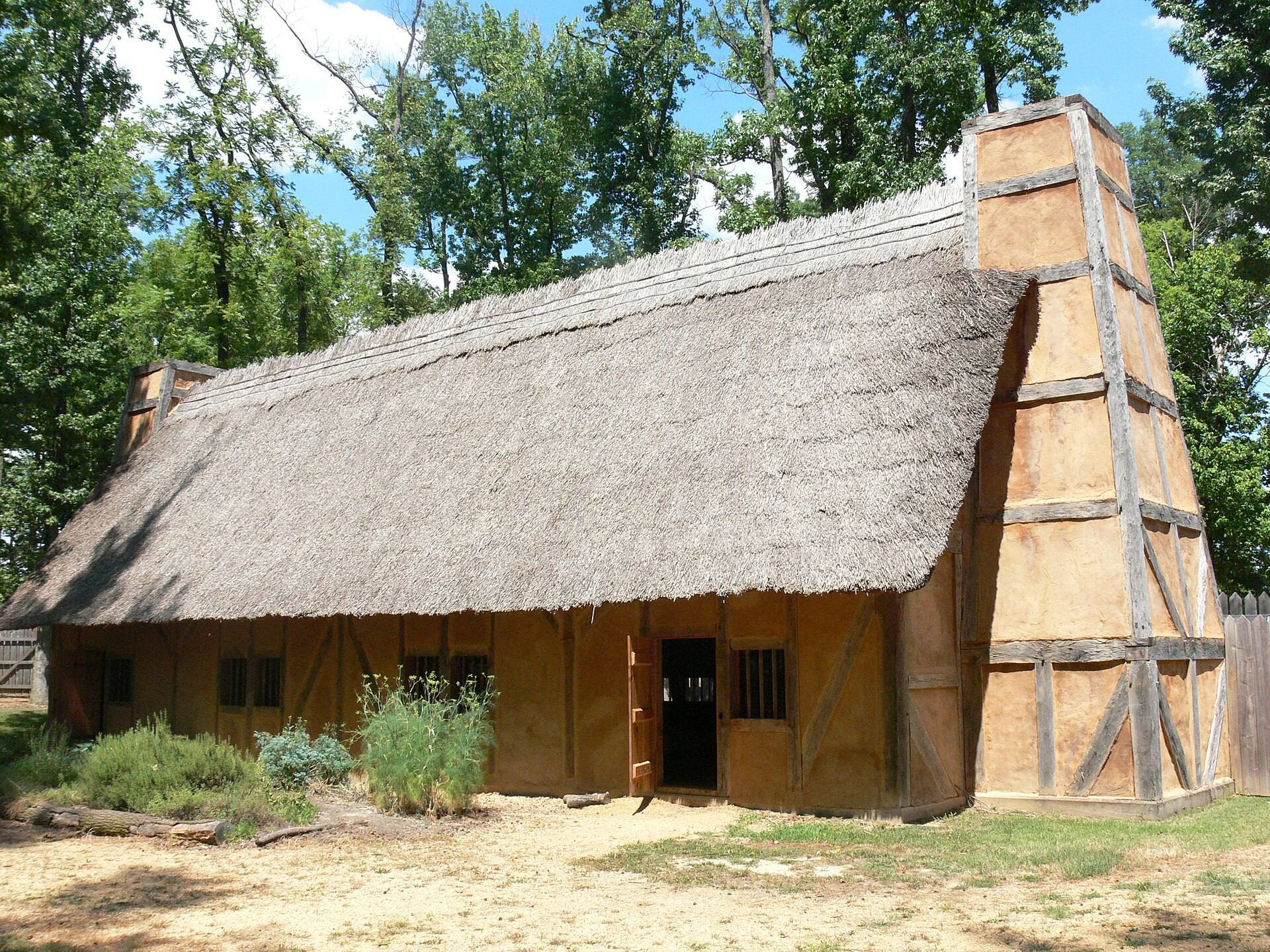
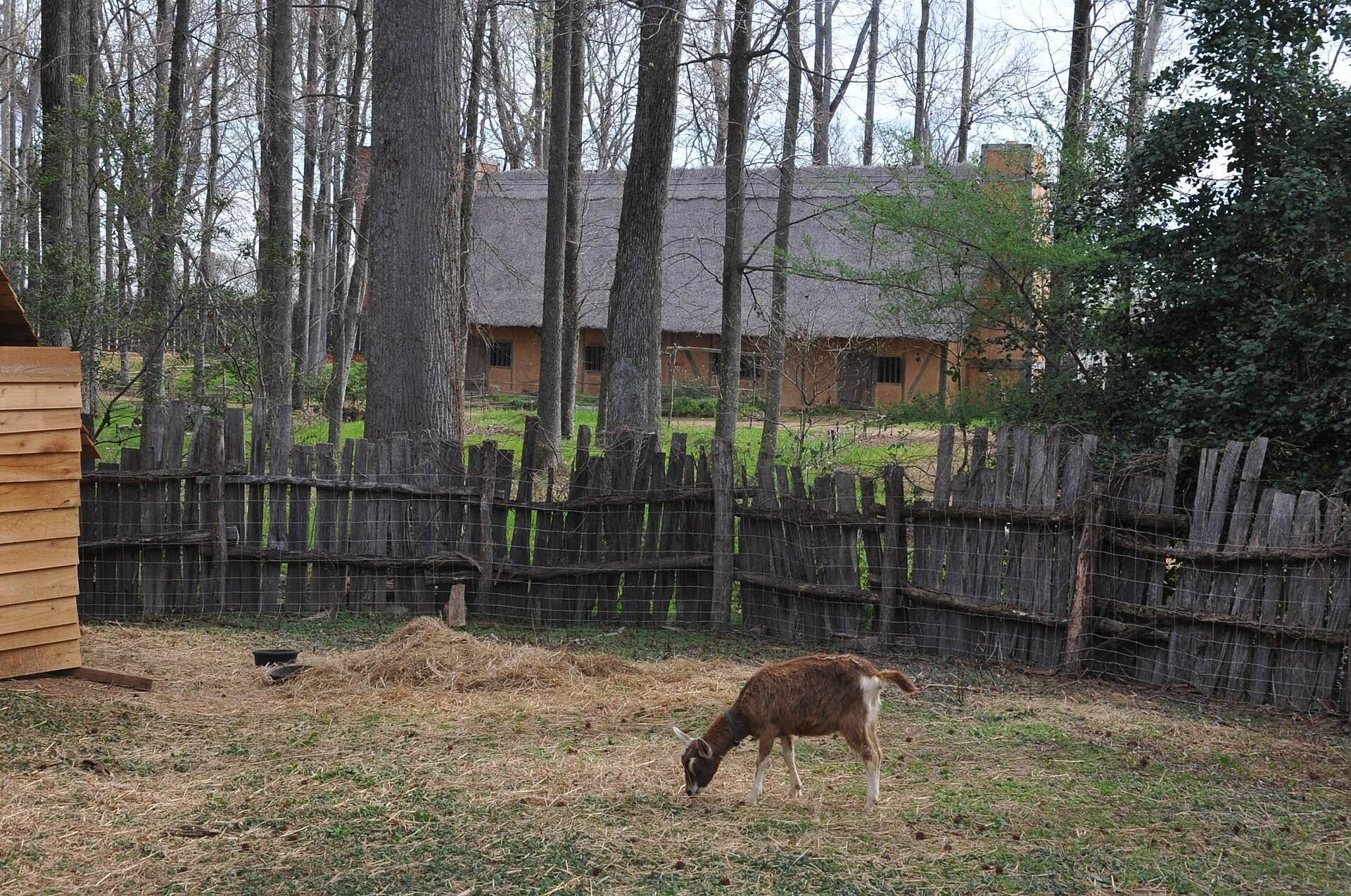
Henricus Historical Park preserves a reconstruction based on historical evidence rather than a confirmed placement of the original town buildings. The reconstructed settlement stands near the historical location and interprets the early English community within the surrounding conservation landscape. Its features include Mt. Malady, representing the hospital built near Henricus in 1612 and 1613.
River channels and Dutch Gap
Dutch Gap Canal
The settlement’s setting was reshaped by attempts to shorten navigation across the neck of the river meander. Sir Thomas Dale ordered the first channel excavation, but the initial effort was unsuccessful and gave rise to the name Dutch Gap. Union troops reopened and enlarged the passage during the Civil War, and the widening carried out in 1870 transformed it into the James River’s main channel.
Dutch Gap Conservation Area
The former river channel later silted up and became the approximately 810-acre, or 330-hectare, Dutch Gap Conservation Area. The preserve contains woodlands and wetlands, while sunken ships remain visible in its lagoon. The conservation area surrounds the reconstructed site and the archaeological landscape, linking the surviving physical setting to the river works that changed the area’s form.