Hare Hill: A Surviving Section of Hadrian’s Wall


Site at a Glance
- Rating
- 4.3
- Popularity
- Very Low
- Country
- United Kingdom
- Primary era
- Classical
- External website
- Open
- Eras represented
- Classical, Medieval
- Civilizations
- Roman
- Site type
- Military
- Remains
- Fort
On this page10 sections
History
Hare Hill is a surviving section of the Roman Hadrian’s Wall in the United Kingdom, near Brampton. Built from AD 122 to mark the northern edge of the province of Britannia and the north-western frontier of the Roman Empire, it formed part of the Wall’s original turf-built section between the River Irthing and Bowness-on-Solway.
Roman construction
Hare Hill lies at the Wall’s 53rd Roman mile. Toward the end of Emperor Hadrian’s reign, which lasted from AD 117 to 138, the turf barrier here was replaced by a stone wall. Hadrian’s Wall eventually extended for 80 Roman miles, approximately 117.5 kilometres, between Wallsend on the River Tyne and Burgh-by-Sands on the Solway Firth.
Three Roman legions supplied rotating work parties for the construction. These were the 20th Valeria Victrix from Chester, the 6th Victrix from York, and the 2nd Augusta from Caerleon. Smaller groups completed assigned stretches, while inscribed centurial stones identify the centuries involved. A Roman century was a military unit normally commanded by a centurion and containing about 80 soldiers.
Medieval stone robbing and reuse
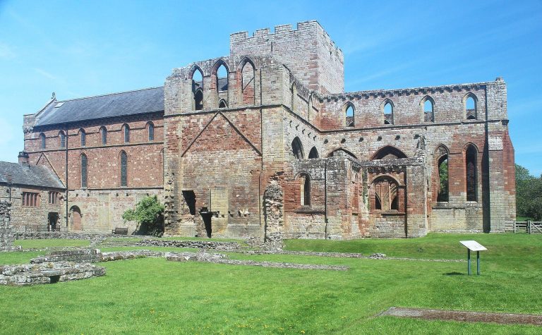
Much of the Wall stone around Hare Hill was later removed for local building, especially for Lanercost Priory, a Christian religious house about three-quarters of a mile to the south-west. The robbing probably began when construction of the priory started around 1165 and continued during the twelfth and thirteenth centuries.
An excavation in 2004 showed that the Wall had been taken down to its foundations a few metres east of the surviving section. After an interval, a smaller unmortared wall was built along the same line, possibly in the fourteenth century as the northern boundary of Lanercost Priory’s agricultural estate. The surviving section may have escaped removal because it was incorporated into a medieval building, perhaps in a small hamlet, against which the later boundary wall was constructed.
Restoration and conservation
By 1879, only the Wall’s rubble core remained at Hare Hill. George Howard, 9th Earl of Carlisle, organised its later nineteenth-century restoration with Mr Marshall as architect. Fallen Roman facing stones were gathered and reset, creating the present north face and incorporating a centurial stone.
Further conservation followed in 1972, when Hare Hill entered state guardianship, a form of government responsibility for protecting a historic monument. Additional work took place after the 2004 excavation.
Remains
Hare Hill preserves a short stone section of Hadrian’s Wall rising to approximately 3 metres, about two-thirds of its original height of approximately 4.5 metres. It is approximately 2.32 metres wide. The north face has finely squared facing stones, largely reinstated during the nineteenth-century restoration, while the robbed course continues eastward as a low line of rubble.
Wall features
A centurial stone is set into the east end of the Wall’s north face, in the ninth course above the base. It was found near Moneyholes, about half a mile away, and brought to Hare Hill in the late nineteenth century. Its faint inscription, “> P. P.”, abbreviates centuria primi pili, meaning that the work was carried out by the century of the legion’s senior centurion, known as the primus pilus.
Military installations
Milecastle 53
Milecastle 53, also called Banks Burn, stood approximately 80 metres east of the tall surviving Wall section. A milecastle was a small fortified enclosure placed at intervals along Hadrian’s Wall. Excavated in 1932, this example measured 21.9 metres from east to west and 23.3 metres from north to south, with Type III gateways. Its masonry had largely been robbed, its original floor removed, and its internal buildings had not survived. Remnants of the earlier turf-built milecastle remained in the north-east corner and southern part.
Turret 53A
Turret 53A, also known as Hare Hill, survives as a slight earthwork platform. A turret was a smaller observation and guard tower associated with a milecastle. The structure was discovered in 1854 or 1855 and excavated in 1932, when its interior was found to be full of ashes.
Turret 53B
Turret 53B, also known as Craggle Hill, survives as another slight earthwork platform and was excavated in 1932. It was the easternmost known structure on Hadrian’s Wall to use red sandstone.
The military arrangement associated with each milecastle included two turrets, positioned approximately one-third and two-thirds of a Roman mile from the enclosure. Members of the milecastle garrison probably manned these smaller towers.