Gülek Castle: A Medieval Armenian Fortress Guarding the Cilician Gates


Site at a Glance
- Rating
- 4.4
- Popularity
- Medium
- Country
- Turkey
- Primary era
- Medieval
- Eras represented
- Medieval
- Civilizations
- Kingdom of Cilicia
- Site type
- Military
- Remains
- Castle
On this page6 sections
History
Gülek Castle is a medieval fortress in Türkiye, near Gülek in the Tarsus District of Mersin Province, built by the Armenian Kingdom of Cilicia around the turn of the twelfth and thirteenth centuries. It occupied a commanding position above the Cilician Gates, the major pass through the Taurus Mountains linking the Anatolian plateau with Cilicia, Syria, and routes farther south. From this height, the fortress monitored movement through the gorge and collected fees from travelers crossing the pass.
Origins and Armenian rule
The castle probably stands on the site of an earlier Byzantine fortification known by the Arabic name Hisn Bulas, although the date of the medieval construction is uncertain. The surviving masonry is generally assigned to the period around 1200. The fortress appears under several names in historical records, including Guglag, Kuklak, Cogulat, Cogolaquum, Kawlāk, and Asakaliba.
Gülek Castle is first recorded in 1199, when a lord named Sempad appeared in the fief list of Leon I, king of the Armenian Kingdom of Cilicia. The pass was known from the eleventh to the fourteenth century as the Kapan of Kuklak, while records associated with the medieval Crusades also called it the “Gate of Judah.” During the Cilician Armenian period, the castle served as the center of the Principality of Guglag, one of the kingdom’s four major principalities.
Its economic role was closely connected with its military position. A privilege charter issued by Leon II for the Republic of Genoa identifies Guglag in 1288 as a customs station of the Armenian Kingdom of Cilicia. In 1310, Alinak, the brother of King Oshin of Armenia, was styled lord of Cogolaquum. Gold, silver, and copper were mined in the Gülek area during Armenian rule, and the fortress also had a smelting installation or foundry.
Mamluk and Ottoman periods
By the end of the fourteenth century, Kawlāk had become a district of the Mamluk Sultanate, the medieval Islamic state that ruled Egypt, Syria, and parts of southeastern Anatolia. Turkmen groups inhabited the district at that time. A fifteenth-century traveler described the castle as the highest fortress he knew, emphasizing the exceptional elevation of its mountain position.
The region later passed under Ottoman rule. During the revolt of Ibrahim Pasha, the Egyptian military commander and son of Muhammad Ali Pasha, Ibrahim Pasha occupied the area in the 1830s. Gülek Castle appears to have remained in use during that period, and a lead mine lay northwest of it. In 1855, Theodor Kotschy reported that a castle warden still lived at the site, while Victor Langlois described ruins of abandoned Turkmen huts. In 1973, the castle area included the abandoned house of the poet Kasim Gülekçi.
Gülek Castle is now a ruin owned by Türkiye’s Ministry of Culture and Tourism. Its surviving fabric preserves evidence of the fortress’s role in controlling the mountain pass, supporting a customs station, housing its occupants, and processing locally mined metals.
Remains
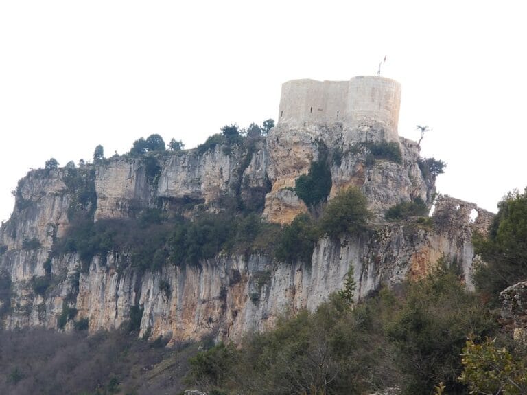
The fortress occupies a broad summit plateau on a mountain spur rising from the Bolkar Mountains at approximately 1,530 metres above sea level. Its northern and eastern edges end in steep rock faces, with the floor of the gorge nearly 500 metres below. The southern and western sides therefore carried the principal built defenses. The castle is approximately 300 paces long and 100 paces wide, and its remains include walls, bastions, an entrance complex, internal defensive works, underground spaces, water reservoirs, and a large rock-cut staircase.
Walls and entrance
The southern and western defenses consisted of curtain walls, meaning long fortified wall sections joining towers, built with double-shell masonry. The western defenses survive mainly as foundations or substructures. Semicircular bastions and one rectangular bastion interrupted the walls at irregular intervals, while the largest tower stood on the western side. The masonry uses bossed ashlar, stone blocks with projecting rough faces framed by smoother margins, together with dressed stone. Later building traces resemble the structures of the Ibrahim Pasha redoubts farther north.
The southern entrance was placed between two overlapping sections of curtain wall. Its gateway contained a pointed-arch portal 3.44 metres wide and 2.55 metres high. Beyond it stood a former double-leaved door measuring 2.32 by 3.35 metres, with a three-part lintel. Between the portal and the door was a machicolation shaft, a defensive opening used to attack people below the gateway.
Interior buildings and water systems
Within the enclosure, additional tower-like defensive structures supported the outer walls. The interior remains include traces of underground dwellings, a columned hall or vestibule, storerooms, and other buildings. Two cisterns, reservoirs for collecting and storing water, were cut directly into the bedrock. One of them lies on the eastern side of the castle.
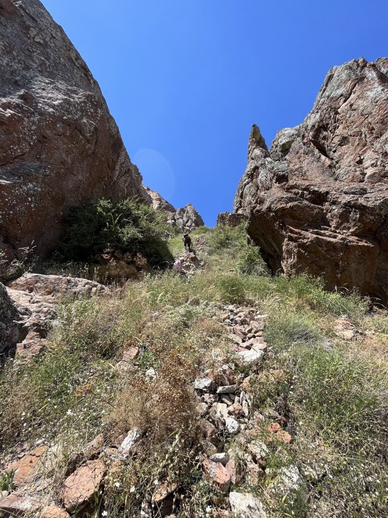
A large staircase cut into the rock descends from the rocky area for approximately 60 steps. The fortress also preserves evidence of metalworking. Gold, silver, and copper were mined in the surrounding area during the Armenian period, and the castle’s smelting installation or foundry formed part of the physical remains associated with that activity.