Fortress of Petropigi: A Byzantine Roadside Station on the Via Egnatia
Site at a Glance
- Popularity
- Very Low
- Country
- Greece
- Primary era
- Medieval
- Eras represented
- Medieval
- Civilizations
- Byzantine, Ottoman
- Site type
- Military
- Remains
- Fort
On this page6 sections
History
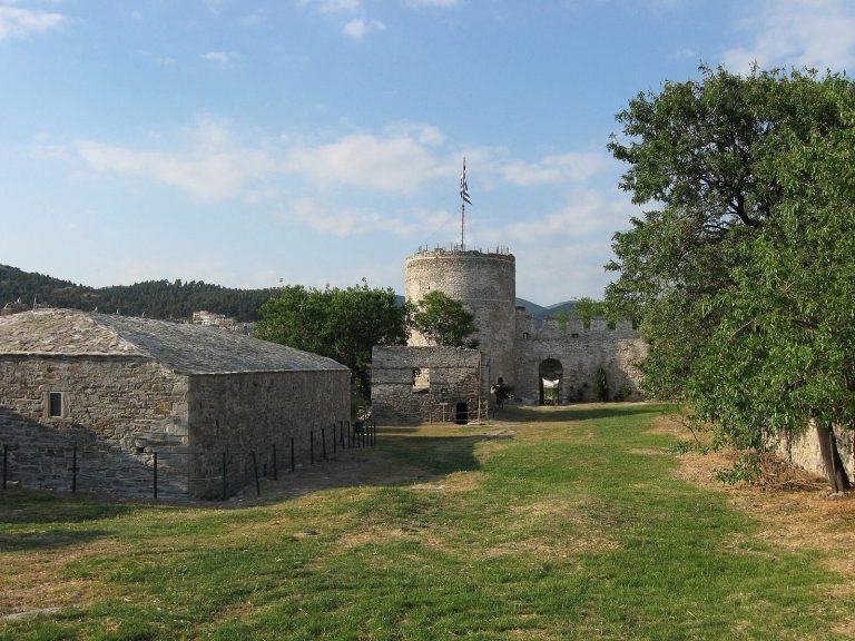
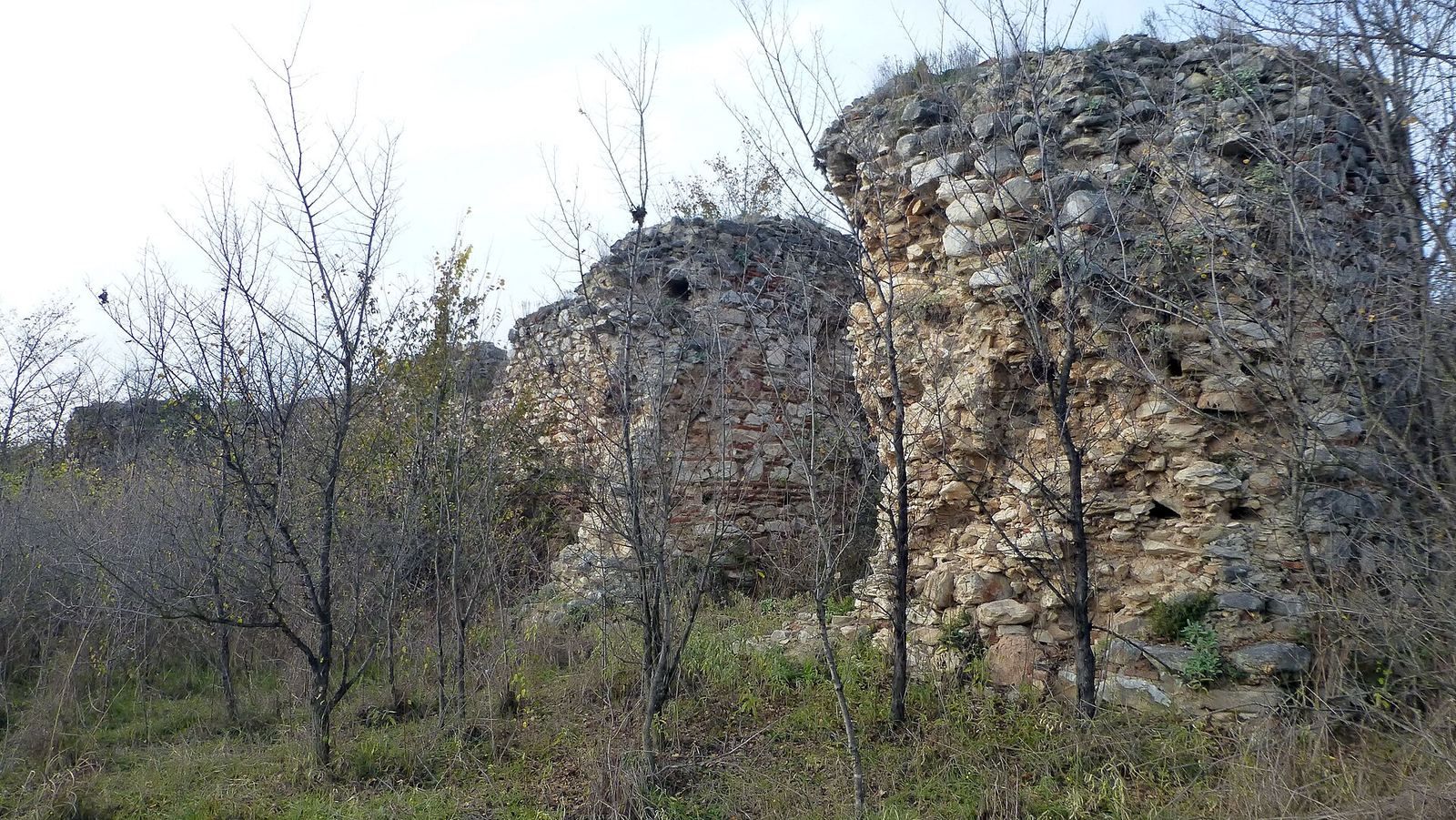
The Fortress of Petropigi is a Byzantine roadside fortress in Greece, about one kilometre south of Petropigi on the Via Egnatia, a major Roman road across the Balkans. It served travelers rather than functioning as a settled habitation site. The oldest phase of its walls dates to the tenth century, while the fortress was completed in the Late Byzantine period, the empire’s later medieval era, in the thirteenth or fourteenth century. Timber from the original scaffolding dates to 1275–1350, making construction in the late thirteenth century more likely.
Byzantine construction and alteration
The fortress’s likely construction in the late thirteenth century followed the recovery of Constantinople from Latin rule in 1261, a turning point in Byzantine efforts to reorganize the empire and a period of wider building activity. Its defenses were probably altered in the fourteenth century, amid Byzantine civil wars and incursions by Turks, Catalans, and Normans.
Ottoman use and abandonment
In the late fourteenth century, the Ottomans converted the former station into a caravanserai, a stopping place that provided lodging and other services to travelers. Small Ottoman coins indicate that the site remained in use during the fifteenth and sixteenth centuries. It was abandoned sometime after the sixteenth century and partly dismantled, apparently so its building materials could be reused. The reason for its decline is uncertain. A new roadside stop may have opened nearby, possibly at Chrysoupoli, or population growth and the formation of local villages may have reduced the need for an isolated stopping place.
After abandonment, local people used the ruins as a stable until the mid-twentieth century. The Norwegian Institute at Athens excavated the fortress between 1993 and 2002.
Remains
The fortress stands on level ground, with an interior measuring 29.6 by 29.3 metres, equivalent to 100 by 100 Byzantine feet, a historical unit of length. In antiquity it was close to the sea, and in the medieval period it lay near the beginning of the Mesta River delta. Drainage of coastal marshes has left it about 5.5 kilometres from the sea. Its nearly square plan and setting recall a quadriburgium, a type of square late Roman fortification with corner towers; the fortress’s oldest wall phase, however, dates to the tenth century.
Walls, gates, and towers
The walls combine stone, mortar, and brick. One continuous brick course runs around the perimeter at a consistent height, while other courses are more irregular and may reflect later changes. The original plan had two gates opposite one another, to the southeast and northwest, and two towers. A further gate and tower were later added at the southeastern corner, and the northwestern tower received another storey. The resulting three gates were unusual for a small fortress and may have served travelers arriving by sea as well as those using the Via Egnatia. The defenses could deter attacks by small bands but were not suited to a prolonged, systematic siege.
Traveler-service buildings
Remains inside the fortress include stables and a smithy, as well as a long building that divides the interior into two parts and was probably used for overnight lodging. Norwegian archaeologists identified it as an Ottoman inn. Its interior is 2.5 metres wide, and its walls survive to heights of 0.30 to 0.90 metres. The walls use brick-framed masonry, in which brick courses enclose sections of masonry. Radiocarbon analysis of charcoal from inside the building places its construction between 1410 and 1425.