Fort Real de São Filipe: The Principal Fortress of Cidade Velha

Site at a Glance
- Rating
- 4.4
- Popularity
- Low
- Country
- Cabo Verde
- Primary era
- Early Modern
- Eras represented
- Early Modern
- Civilizations
- Portuguese
- Site type
- Military
- Remains
- Fort
On this page8 sections
History
Fort Real de São Filipe is a sixteenth-century fortress in Cidade Velha, Cape Verde, built under Portuguese rule during the Philippine Dynasty, the period from 1580 to 1640 when Portugal was governed by the Spanish Habsburg monarchs. It was the first and most important fortress in the Cape Verde Islands and the principal stronghold of Ribeira Grande’s defensive system.
Construction after the English attacks
Ribeira Grande initially developed without its own fortifications because its isolated Atlantic position seemed to offer protection. That assumption changed when the English privateer and naval commander Francis Drake attacked Santiago in 1578 and again on 17 November 1585. Construction of the fortress began in 1587 to defend the city and its anchorage, and it was completed in 1593 under the supervision of the military engineer João Nunes, following plans associated with the military architect Filippo Terzio.
Fort Real de São Filipe formed the principal element of a wider harbor-defense system. Other positions included Santo António, São João dos Cavaleiros, São Veríssimo, Presídio, São Brás, São Lourenço, and Santa Marta, along with a wall beside the port. Their overlapping fields of fire were intended to protect the full length of the harbor from attacks approaching by sea.
Attack, rebuilding, and conservation
In 1712, French privateers commanded by Jacques Cassard captured the fortress by assault. Cassard, a French privateer and naval commander, then led the violent plunder and burning of the city. The fortress was rebuilt during the second half of the eighteenth century.
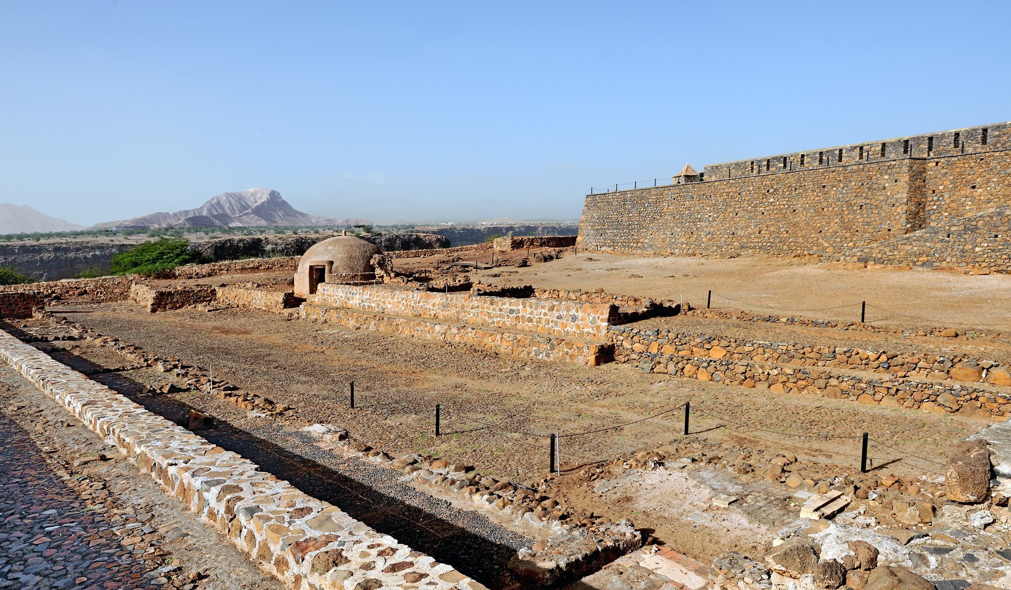
The fortifications underwent restoration and conservation in 1968–1970 and again in 1999. The later intervention formed part of a recovery plan for Cidade Velha, initiated by the Ministry of Culture of Cape Verde and coordinated by the Portuguese architect Álvaro Siza Vieira. The historic center of Cidade Velha was inscribed on the UNESCO World Heritage List on 26 June 2009 under criteria ii, iii, and vi. Archaeological excavations have since exposed the walls of the former barracks and the house of the captain-general, a senior military and administrative official.
Remains
Fortress layout and construction
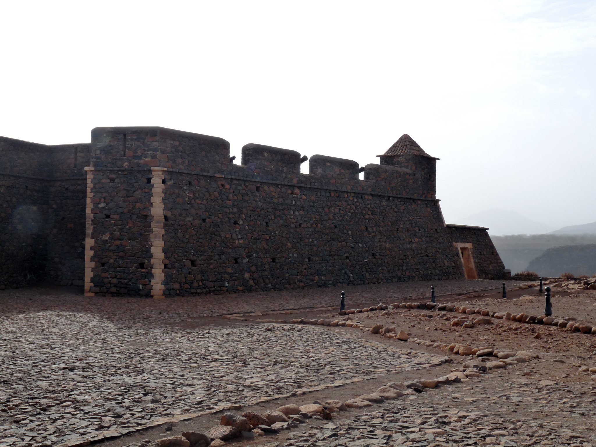
The fortress occupies a plateau approximately 120 meters above sea level, overlooking the former city of Ribeira Grande and its harbor. Its trapezoidal plan is formed by stone defensive walls. Two complete pentagonal bastions, projecting parts of the fortification that allowed defenders to fire along adjoining walls, stand at the eastern and western corners. Curtain walls, meaning connecting sections of defensive wall, join these bastions, while half-bastions occupy the northern and southern sides. Each half-bastion has a sentry tower, a small projecting lookout structure. The fortress faced inland, and its elevated position made short-range fire toward the town impractical because of the danger of striking the population.
Gates and ramparts
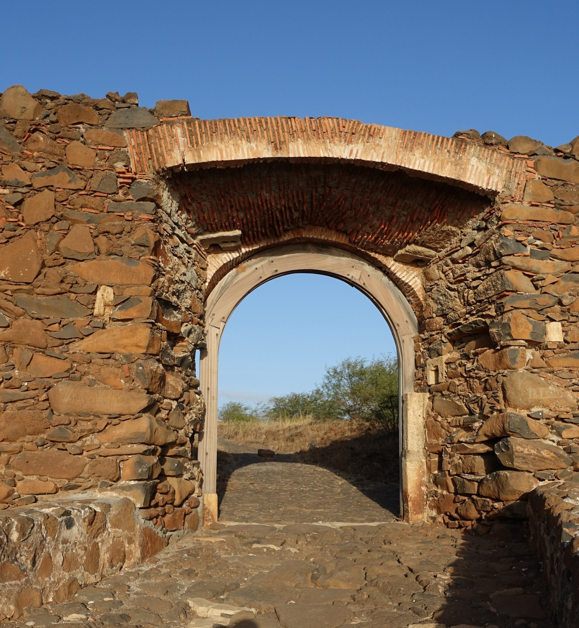
The interior is reached through two gates. The principal entrance is placed in the southwest wall and faces the city. The northern and western defensive wall is described as 480 palmos high. The fortress is believed to have been equipped with nine artillery pieces of calibre 18.
Governor’s house and military installations
The governor’s house stands on the rampart near the southern half-bastion, opposite the Chapel of São Gonçalo. A cistern lies approximately midway along the rampart. The southeastern sector contains the powder magazine and storage buildings, while the troop barracks occupy the western side on the same alignment. The interior installations also included military stores, a brick cistern, a garrison, a prison, and the governor’s residence. Excavations have exposed archaeological remains of the former barracks and the captain-general’s house.
Associated harbor defenses
The wider defensive network extended along both sides of the harbor. Santo António formed one of the associated positions, while São João dos Cavaleiros has disappeared. São Veríssimo, on the left bank of the Ribeira Grande, survives through two batteries. Presídio stood at the center of the beach, and only its foundations remain. São Brás occupied the right bank of the Ribeira Grande, while São Lourenço lay farther west behind a large jagged wall that blocked access to the western part of the city. Santa Marta is likewise described as disappeared. The Presídio was connected to São Veríssimo by the Sea Wall.