Fort Matanzas National Monument: A Spanish Coastal Defense Fort
Site at a Glance
- Country
- United States
- Primary era
- Early Modern
- Eras represented
- Early Modern, Modern
- Civilizations
- Spanish
- Site type
- Military
- Remains
- Fort
On this page9 sections
History
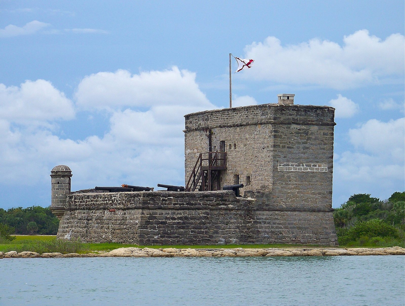
Fort Matanzas National Monument preserves a Spanish coastal fort on Rattlesnake Island in Florida, United States. Spain built the fort between 1740 and 1742 to defend Matanzas Inlet. The inlet takes its name from the Spanish executions there in 1565 of Jean Ribault and his French Protestant followers, the final colonists of Fort Caroline.
Construction and British attack
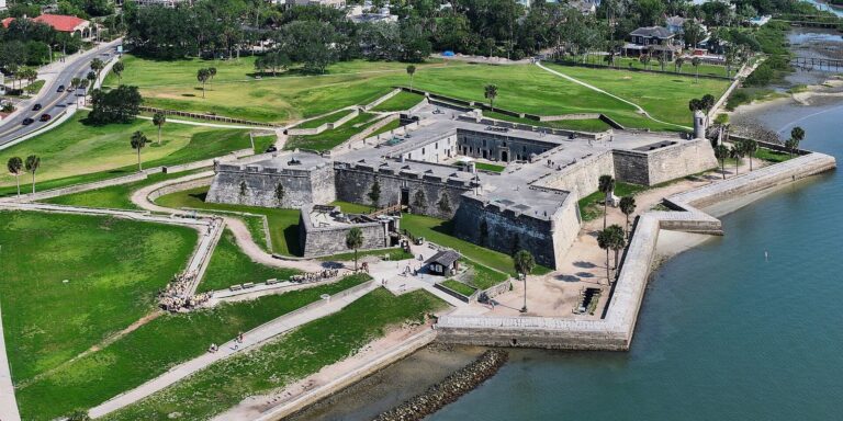
In 1740, Georgia governor James Oglethorpe used the inlet to blockade St. Augustine and begin a 39-day siege. The waterway offered an approach behind the city’s main defenses, including Castillo de San Marcos, the Spanish colonial fortress in St. Augustine. Spanish governor Manuel de Montiano ordered a fort built to protect the inlet. Military engineer Pedro Ruiz de Olano designed it as a fortified observation tower. Convicts, enslaved people, and troops from Cuba supplied the labor.
The regular garrison consisted of one officer, four infantrymen, and two gunners. Soldiers rotated to the fort from their usual duties in St. Augustine, and more troops could be assigned when needed. In 1742, twelve British ships approached under Oglethorpe’s command. The fort’s guns drove off the scouting boats, and the ships withdrew without attacking. This was the only time the fort fired on an enemy.
Spanish rule and preservation
Spain lost Florida under the 1763 Treaty of Paris, which ended the Seven Years’ War, and regained it through the 1783 Treaty of Paris, which concluded the American Revolutionary War. Spanish authorities thereafter devoted little effort to maintaining the fort. When the United States took control of Florida in 1821, the structure had deteriorated so badly that soldiers could no longer live there. The United States did not use it, and it became a ruin.
The U.S. Department of War began a major restoration in 1916. By 1924, workers had repaired three vertical cracks in the walls and stabilized the fort. It became a national monument on October 15, 1924, and passed from the War Department to the National Park Service on August 10, 1933. The fort was added to the National Register of Historic Places in 1966; the headquarters and visitor-center complex was listed in 2008. The National Park Service manages the monument together with Castillo de San Marcos National Monument.
Remains
The monument covers 227.76 acres on Florida’s northern Atlantic coast. Along the Matanzas River, it includes the fort and about 100 acres of salt marsh and barrier islands. The fort stands on Rattlesnake Island above Matanzas Inlet, the river’s southern entrance. When its cannon were installed, the inlet was less than half a mile away.
Fort and defenses
The fort is a square tower measuring 50 feet on each side and rising 30 feet high. Its walls are built of coquina, a local stone formed from shell fragments. Pine pilings support the structure on marshy ground. The Spanish called it Torre de Matanzas, meaning “Matanzas Tower.” Five cannon were positioned to reach the inlet: four six-pounders and one eighteen-pounder.
Headquarters and visitor center
Built in 1936 on Anastasia Island, the headquarters and visitor-center complex includes a museum and a separate utility building. National Park Service architects designed the buildings and surrounding landscape.
Main building
The two-story main building contains a ranger residence and an arched breezeway that passes through the structure. Its first floor is made of coquina blocks, while the upper floor has a timber frame and wood siding. A hipped roof tops the building.
Utility building
A one-story building stands 50 feet north of the main building. It has coquina walls and a hipped roof and now serves as a ranger office.
Designed grounds
The surrounding grounds include flagstone walkways and sidewalks, an exterior staircase, a retaining wall, parking areas, roads, and curbs.