Fort Erie: A British Defensive and Supply Fort on the Niagara River
Site at a Glance
- Rating
- 4.7
- Popularity
- High
- Country
- Canada
- Primary era
- Modern
- External website
- Open
- Eras represented
- Modern
- Civilizations
- British
- Site type
- Military
- Remains
- Fort
On this page8 sections
History
Fort Erie is a British fort on the Niagara River in Ontario, Canada, across from Buffalo, New York. Built in 1764, it was the first fort in a British defensive and communications network established after the Seven Years’ War, a mid-18th-century conflict whose North American theater is often called the French and Indian War. The 1763 Treaty of Paris transferred French territory east of the Mississippi River to Britain. For about 50 years, Fort Erie served as a supply depot and port for ships carrying goods, troops, and passengers across Lake Erie to the Upper Great Lakes.
From frontier post to wartime fort
British military engineer John Montresor directed the original fort’s construction. During the American Revolution, the war in which thirteen British colonies fought for independence, it supported British troops, United Empire Loyalist Rangers, and allied Iroquois warriors. The Rangers were military units formed from colonists loyal to Britain; the Iroquois Confederacy was an alliance of Indigenous nations in northeastern North America.
Repeated winter storms damaged the original fort beside the river. In 1803, plans were approved for a larger fort on higher ground behind it. Built between 1805 and 1808, the replacement was still unfinished when the United States declared war on Britain on 18 June 1812. The War of 1812 was a conflict between the two countries that lasted from 1812 to 1815.
The War of 1812
Part of the garrison fought at the Battle of Frenchman’s Creek in November 1812. American forces held Fort Erie for part of 1813 and left on 9 June, after British troops and Canadian militia had partly dismantled it during their withdrawal. British forces returned in December and attempted to rebuild the fort.
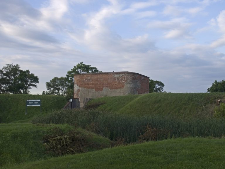
American forces captured Fort Erie on 3 July 1814, made it a supply base, and expanded its defenses. After the Battles of Chippawa and Lundy’s Lane, American troops retreated to the fort as British forces laid siege to it. On 15 August, the British attacked from four directions. American defenders repelled the assault, aided by an explosion in the Northeast Bastion; about 1,000 British troops became casualties.
During a sortie, an attack launched by troops leaving a besieged position, on 17 September, American soldiers captured two British batteries and disabled the guns of one before being driven back. New York militia Brigadier General Davis, Colonel Gibson, and Brevet Lieutenant Colonel Eleazer D. Wood were killed. Following an unsuccessful American attack at Cook’s Mills and news of attacks on the U.S. eastern seaboard, American forces destroyed the fort and withdrew to Buffalo on 5 November. The Treaty of Ghent, signed on 24 December 1814, ended the war, but British troops remained among the ruins until 1823, fearing renewed American attacks.
After the war
In 1824, stones from Fort Erie were used to build St. Paul’s Anglican Church about three kilometres north. The church was rebuilt after a fire and explosion in 1892. The town of Fort Erie developed north of the fort after a railway terminus and station were established there. By the mid-19th century, the area had become a major route through Buffalo for enslaved people escaping from the United States into Canada.
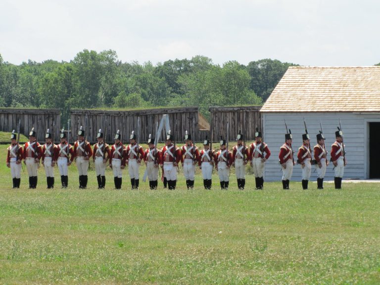
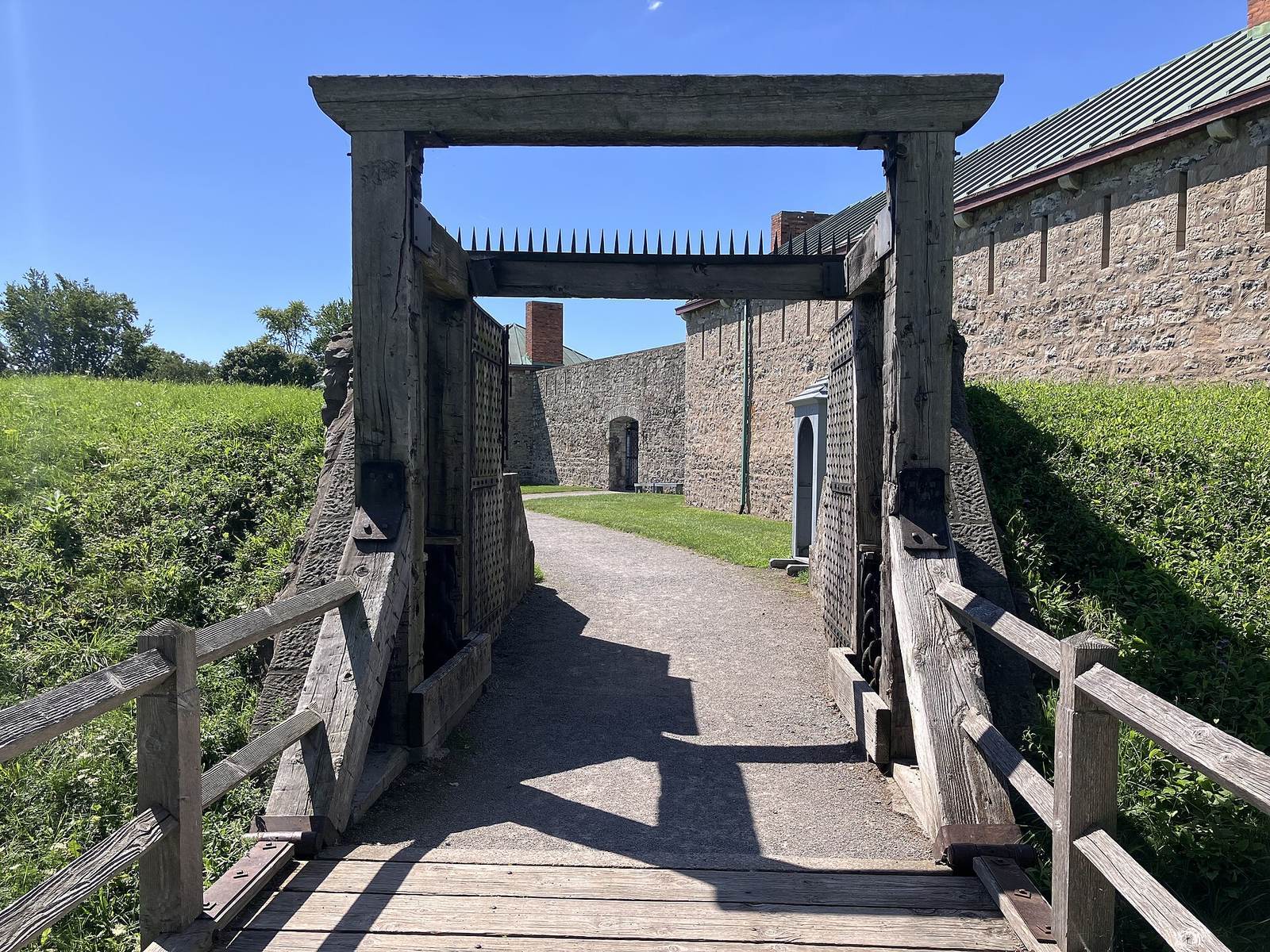
The fort stood vacant before military pensioners and others settled in the area. It was sold to the Niagara Parks Commission in 1901 and designated a National Historic Site of Canada in 1933. Reconstruction took place from 1937 to 1939, aiming to present the fort as it had been during 1812–1814 and providing employment during the Depression. A mass grave containing 150 British soldiers and three American soldiers was uncovered during the work. The Niagara Parks Commission owns and operates the fort and surrounding battlefield as a living museum.
Remains
The site preserves the location of two successive forts: the original riverside post stood below the larger replacement, which occupied higher ground behind it. The first was built largely of wood, while the later fort used locally available stone. The original fort’s location is now beneath a parking lot on Lakeshore Road.
The riverside fort
By 1795, the original fort consisted of small fortified wooden buildings enclosed by a defensive fence of stakes. Provisions were stored within the enclosure. A large wooden storehouse for ammunition and other military supplies, along with workmen’s houses, stood outside it.
The upper fort
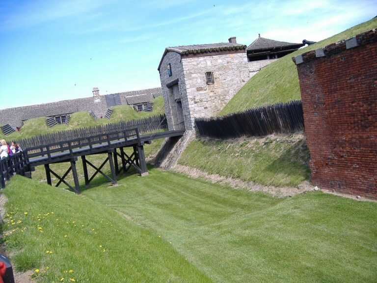
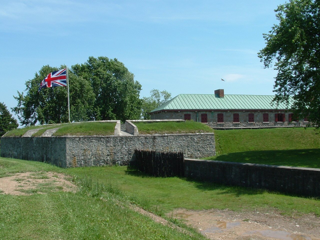
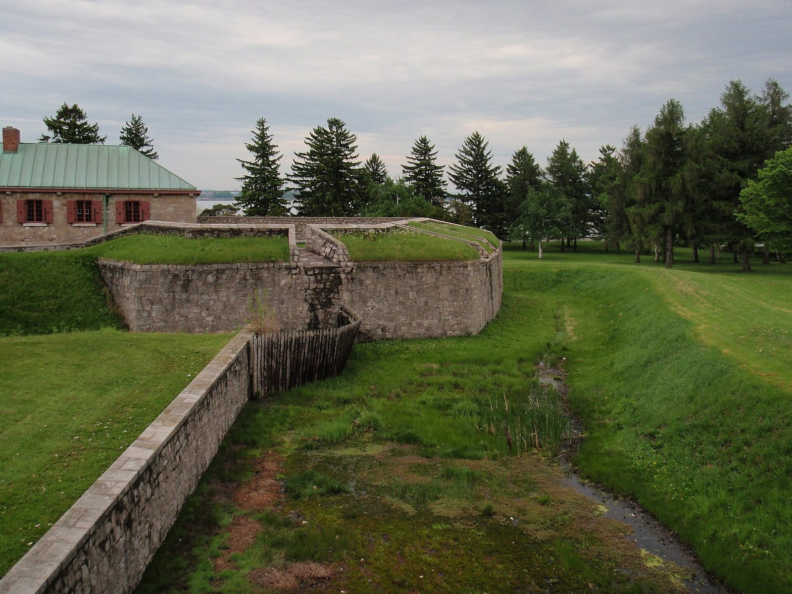
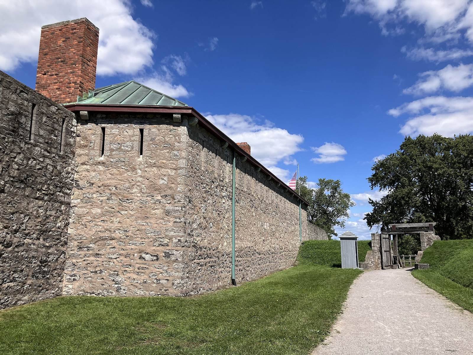
The replacement fort was built of Onondaga limestone, a regional geological formation also described as flintstone. The stone likely came from quarry sites at the Peace Bridge location, an ancient source of limestone and flint for Indigenous peoples in the area. The Northeast Bastion, a projecting section of fortification designed to help defend the walls, formed part of the fort’s defenses.
Ruins and reconstruction
When the site lay vacant, its old barracks, walls, and mill were still standing. The reconstruction created a replica of the early-19th-century fort, including walls and two soldiers’ barracks. A monument was erected among the ruins in 1904.