Fort C. F. Smith: A Union Civil War Fort Protecting Washington
Site at a Glance
- Country
- United States
- Primary era
- Modern
- Eras represented
- Modern
- Civilizations
- Unclassified
- Site type
- Military
- Remains
- Fort
On this page7 sections
History
Fort C. F. Smith is a Union Civil War fort in Arlington, Virginia, United States, built by the Union Army in 1863 to help defend Washington. The Civil War (1861–1865) pitted the Union, the United States government and its armed forces, against the Confederacy, formed by states that had seceded. After the Union defeat at the Second Battle of Bull Run, a major battle of the war, in August 1862, the Army expanded the capital’s defenses. Fort C. F. Smith linked the Potomac River to the Arlington Line, a chain of fortifications south of Washington intended to deter a Confederate attack.
Construction and wartime service
The fort took its name from General Charles Ferguson Smith, who died on April 25, 1862, after a leg infection worsened by dysentery. It was built on land previously owned by Thomas Jewell. A red house on the property gave the developing work its temporary name, Fort at Red House, before the Army demolished the house while constructing the fort and nearby defenses. General John G. Barnard described the fort as carefully planned and built according to the Army’s latest models.
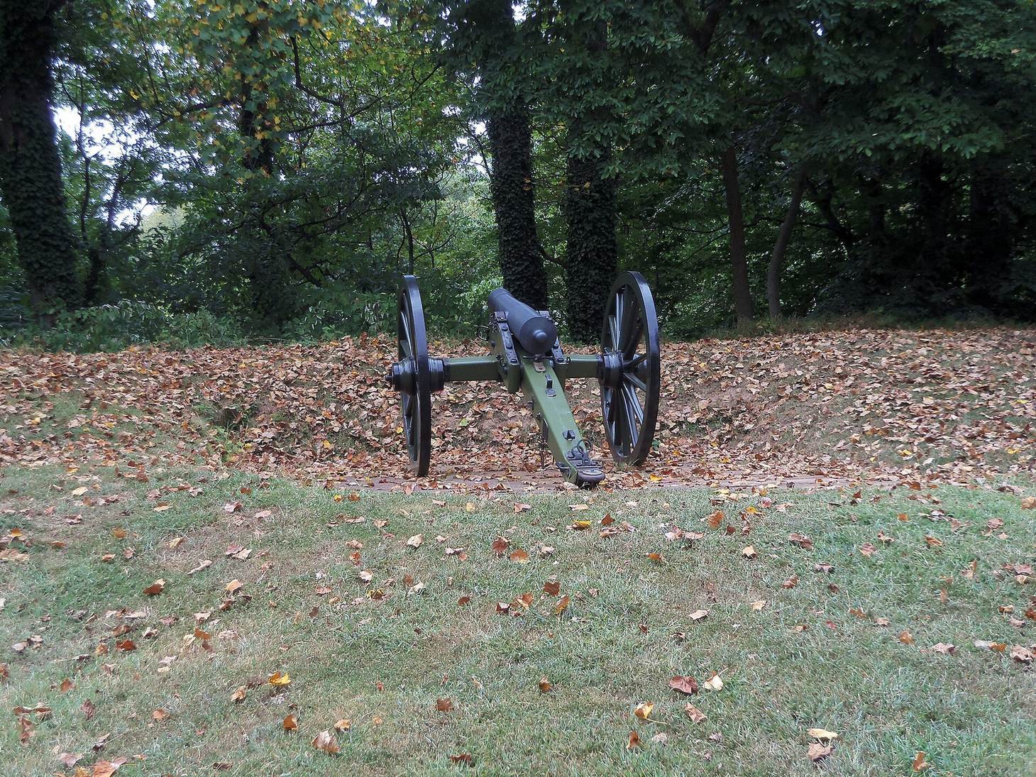
A May 1864 inspection counted four companies of the Second New York Heavy Artillery, a Union Army artillery regiment, under Major W. A. McKay. The garrison comprised one major, 15 commissioned officers, an ordnance sergeant, a noncommissioned soldier responsible for weapons and supplies, and 548 men. Its guns included three 12-pounder field howitzers, two 6-pounder field guns, four 24-pounder siege guns, one 8-inch sea-coast howitzer, six 4.5-inch ordnance pieces, and four 8-inch siege mortars. The two magazines were dry and serviceable, ammunition was plentiful and well packed, and the equipment was complete and usable. The inspection considered the garrison adequate, but judged artillery drill very ordinary, infantry drill insufficient, and discipline in need of much improvement.
In 1865, the fort’s armament comprised one 8-inch sea-coast howitzer, three 12-pounder howitzers, four 24-pounder siege guns, two 10-pounder Parrott rifles, six 4.5-inch ordnance pieces, three 4-inch siege mortars, and six vacant platforms. Parrott rifles were rifled artillery pieces developed by American inventor Robert Parker Parrott. Fort C. F. Smith and other forts on or near the Arlington Line saw little or no fighting during the war. Disease, including malaria and typhoid fever, and the handling of live ammunition nevertheless posed serious risks to soldiers in the area.
Abandonment and changing ownership
After the war ended in April 1865, the Army dismantled and abandoned the fort that fall. It removed wooden structures and earthwork facings, then destroyed the magazines and bombproof to recover their wooden building materials. Lumber, timber, hardware, and tools were sold at public auctions. The Jewell family later recovered the property. The Deming and Yates families owned it from 1888 to 1924, Charles Lindsay from 1924 to 1926, and the Hendry family from 1927 to 1993.
Preservation
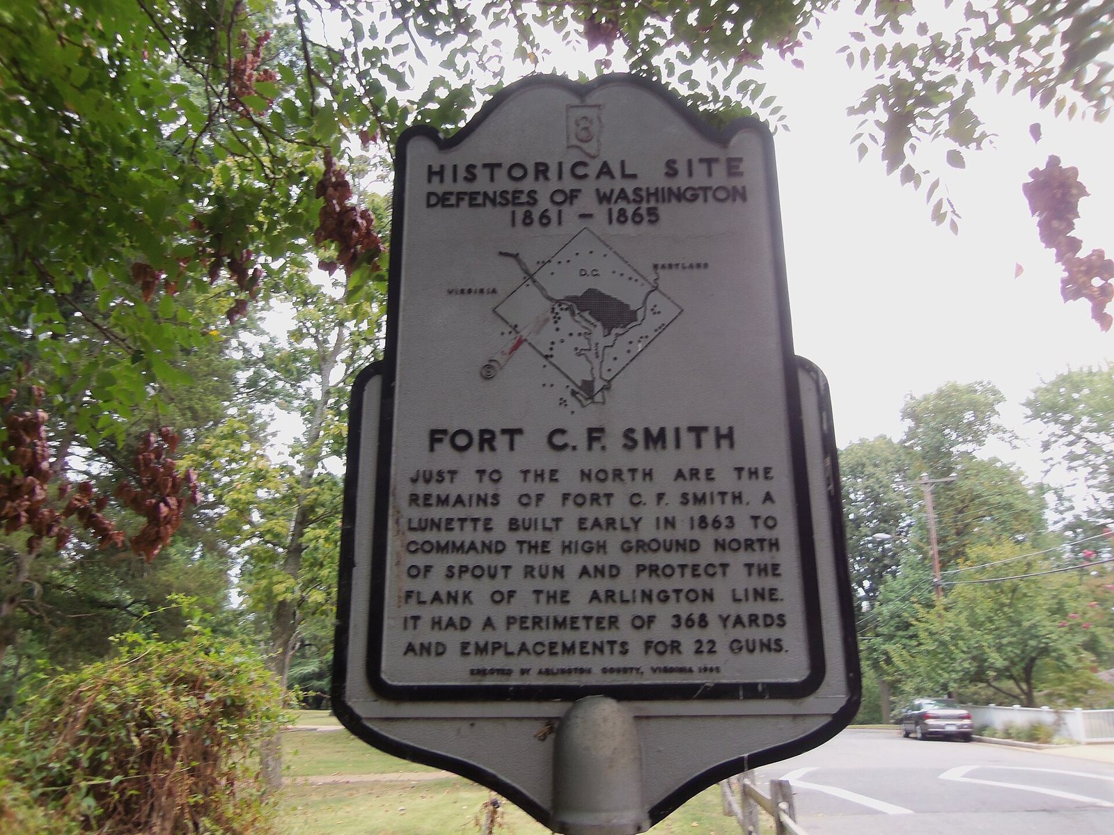
Construction of 24th Street North destroyed about one-third of the fort’s remains. Later development as a private estate helped protect the earthworks north of the street. Arlington County placed a historical marker near the fort in 1965, and the County Board designated it a local historic district in 1987. Beginning in 1994, the county acquired the property, established Fort C. F. Smith Park, and preserved the remains. The site joined the Virginia Landmarks Register in 1999 and the federal National Register of Historic Places in 2000. Virginia Civil War Trails has also placed a marker near the fort.
Remains
Fortification layout
The fort occupied a bluff overlooking the Potomac River and Spout Run. Its elevated position allowed it to guard the Aqueduct Bridge against attackers approaching along either waterway. The earthen lunette, a detached field fort with a forward face and side flanks, had a southern and a western face, two flanks, and a perimeter of 368 yards (336 meters). It had positions for 22 guns. A northern indented defensive line was intended to protect against attacks advancing up ravines from the river. The fort’s projecting defensive sections, or bastions, were unusual for a lunette.
Surviving earthworks
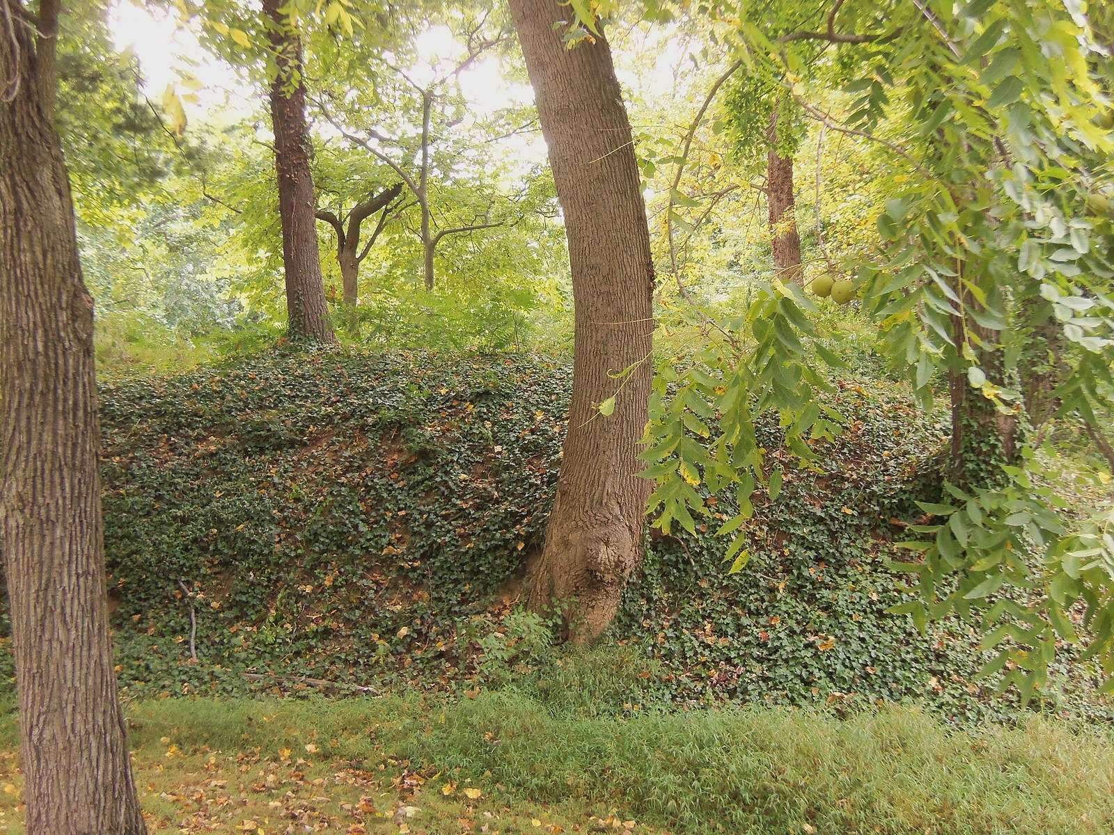
The earthworks remain largely intact within the 19-acre park. Visible features include gun platforms numbered 8 through 11, a well, an ammunition-magazine feature, and the area of a bombproof, a protected structure intended to withstand artillery fire. Protective earth mounds, called parapets, shielded soldiers from fire, while the rear side of the fort protected them from flanking fire. The bombproof also served as an internal barrier, helping limit the effects of shell bursts during a siege.