Emerald Mound Site: A Plaquemine Ceremonial Platform Mound in Mississippi
Site at a Glance
- Rating
- 4.7
- Popularity
- Low
- Country
- United States
- Primary era
- Medieval
- External website
- Open
- Eras represented
- Medieval, Early Modern
- Civilizations
- Unclassified
- Site type
- Religious
- Remains
- Sanctuary
On this page9 sections
History
Emerald Mound Site, also known as the Selsertown Site, is a Plaquemine-culture ceremonial center near Stanton, Mississippi, in the United States, along the Natchez Trace Parkway. Built during the Mississippian period, a pre-Columbian era associated with settled communities, agriculture, social hierarchies, and monumental earthworks, the site was constructed and occupied in several phases between about 1200 and 1730. Its major building period fell between approximately 1250 and 1600.
The Emerald Phase
Emerald Mound is the type site for the Emerald Phase, a period dated approximately 1500 to 1680 within the Natchez Bluffs Plaquemine cultural chronology. Plaquemine culture was a regional Mississippian tradition of the Lower Mississippi Valley characterized in part by platform-mound ceremonial centers. Archaeological interpretation connects its builders with the ancestors of the historic Natchez, an Indigenous people whose communities and ceremonial centers were concentrated in present-day Mississippi.
Emerald Mound served people living in dispersed villages, hamlets, and family farms. At its height, the complex functioned as a center for religious and civic rituals. Its principal ceremonial arrangement stood on the summit of the mound, an unusual organization among mound centers. The historic Natchez continued to use Emerald Mound as their principal ceremonial center around the time of first European contact.
Natchez Use and Abandonment
By René-Robert Cavelier, Sieur de La Salle’s 1682 expedition through the Mississippi Valley, the principal Natchez ceremonial center had shifted to the Grand Village of the Natchez, also called the Fatherland Site, about 12 miles (19 km) southwest. The hereditary chief also lived there. Natchez communities remained dispersed while periodically gathering at ceremonial centers for religious and social events.
The Natchez abandoned Emerald Mound by the late 1730s, during the French colonial period. This change may have followed social upheaval and extensive deaths from European diseases introduced into the Southeast during Hernando de Soto’s 1540s expedition. Emerald Mound appears to represent one of the last active expressions of the large platform-mound-building tradition along the Mississippi River.
Excavation and Preservation
The site was formerly called the Selsertown Site. Its present name derives from Emerald Plantation, a nineteenth-century plantation that surrounded or included the mound complex. The first excavations took place in 1838, and John C. Van Tramp later recorded their results in Prairie and Rocky Mountain Adventures, or, Life in the West. Archaeological investigations continued periodically through 1972, examining animal remains, ceramic fragments, tools, and layers of deposited earth.
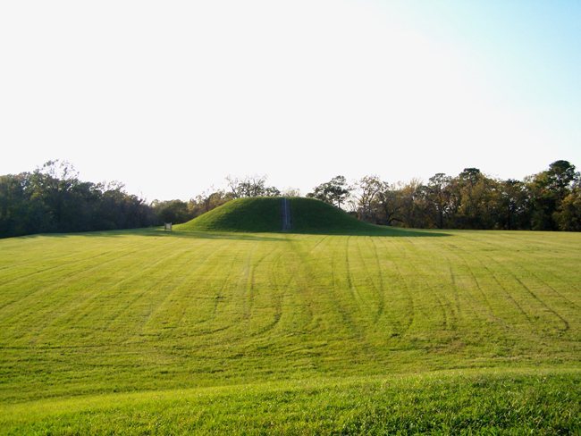
The owners donated Emerald Mound to the National Park Service during the 1950s. The agency stabilized and restored eroded secondary mounds, covered the mound surfaces with turf, and built a trail and stairways connecting the adjacent parking area with the primary platform and the larger secondary mound. Emerald Mound entered the U.S. National Register of Historic Places in 1988 and became a U.S. National Historic Landmark in 1989. A National Historic Landmark is a property recognized by the United States for exceptional historical or cultural importance. The National Park Service manages the site as part of the Natchez Trace Parkway, and it is included on the Mississippi Mound Trail.
Remains
Primary Platform Mound
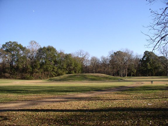
Emerald Mound is a large platform mound, an earthen monument with a flattened summit used for buildings, ceremonies, residences, or other elevated activities. It covers approximately eight acres, or about 3.2 hectares. Its base measures about 770 feet (230 m) by 435 feet (133 m), while the mound rises roughly 35 feet (11 m) high and about 65 feet (20 m) above the surrounding landscape.
Builders reshaped a natural hill by depositing earth along its sides, creating an elongated, pentagonal artificial plateau. The flat summit measures approximately 195 by 105 meters. A constructed ditch originally encircled the earthwork complex, but nineteenth-century descriptions show that it had already been removed from the visible landscape by that time.
Summit Mounds
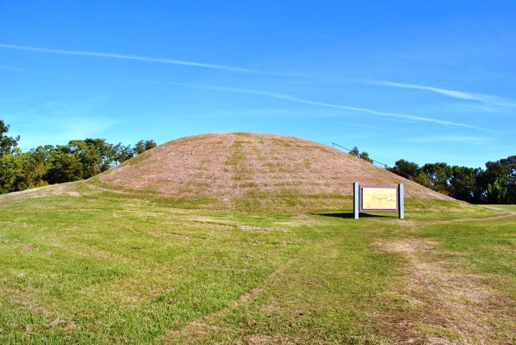
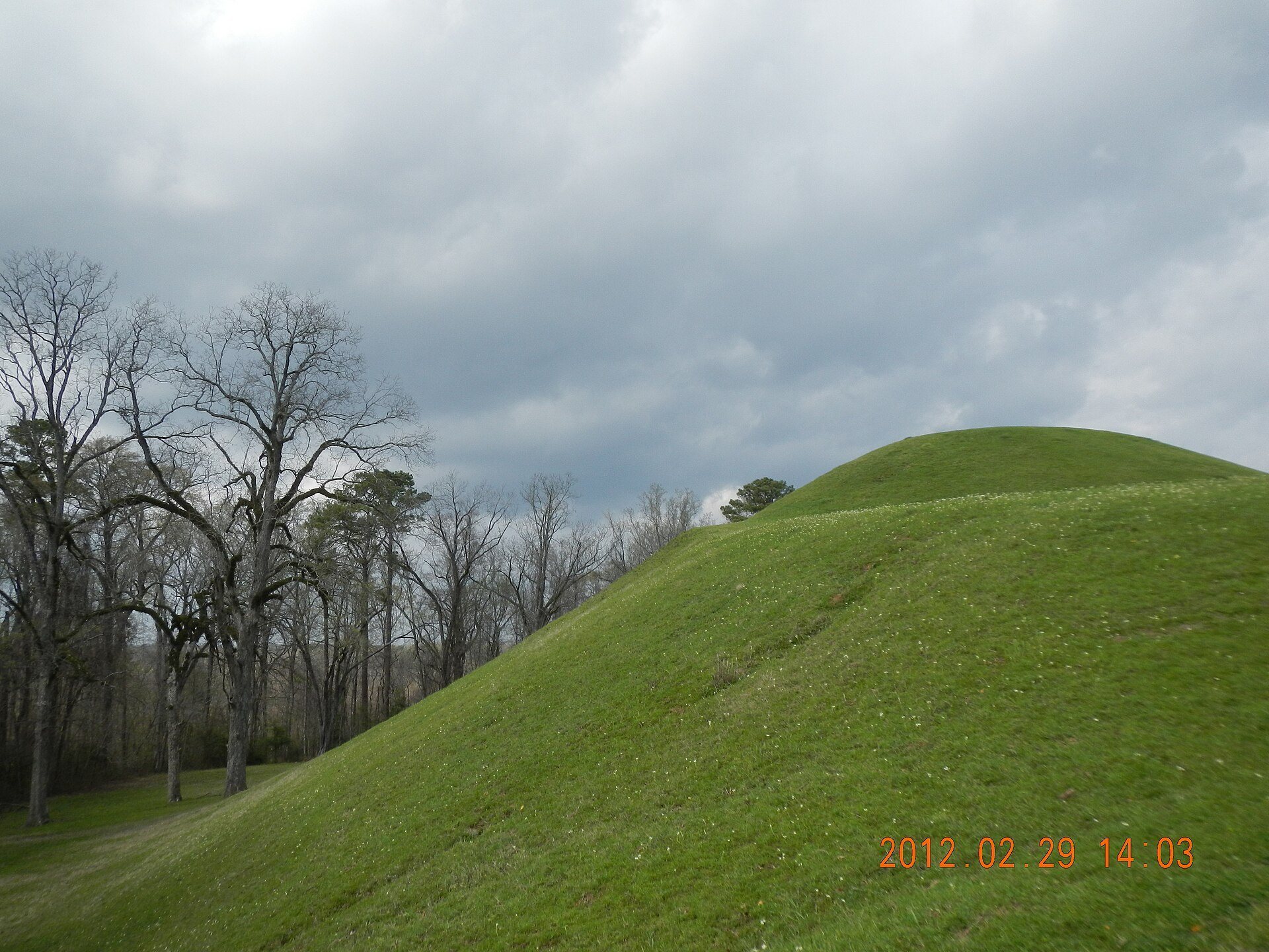
Two secondary mounds remain at opposite ends of the primary summit along an east-west axis. The larger western mound measures approximately 190 by 160 feet (58 by 49 m) at its base and stands about 30 feet (9.1 m) high. Its surviving shape indicates that it was originally pyramidal. The smaller eastern mound has been heavily altered by erosion and nineteenth-century cultivation and is approximately 3 meters high.
The two summit mounds are believed to have supported a temple, a chief’s or ruler’s residence, and residences or platforms for other political and religious leaders. Their individual functions remain interpretive rather than certain.
Former Lateral Mounds
Early drawings and descriptions show that six additional secondary mounds once extended along the north and south edges of the primary summit, with three on each side. These earthworks stood approximately 1 to 2 meters high. Erosion and plowing progressively reduced them, with six still visible in 1835, four in 1887, and the lateral mounds removed from the landscape by 1917. The site was therefore once described as having eight secondary mounds in total, including the two surviving summit mounds.
Archaeological Deposits
Excavations at Emerald Mound produced pottery, human burials or skeletons, animal remains, tools, and stratigraphic deposits. Together, these materials provide evidence for the site’s construction, occupation, and ceremonial use. The earthwork is also identified as the second-largest Mississippian-period earthwork in the United States, after Monk’s Mound at Cahokia.