Boyd’s Cove Beothuk: An Archaeological Site in Newfoundland
Site at a Glance
- Rating
- 4.8
- Popularity
- Low
- Country
- Canada
- Primary era
- Early Modern
- External website
- Open
- Eras represented
- Early Modern
- Civilizations
- Unclassified
- Site type
- Domestic
- Remains
- House
On this page6 sections
History
Earlier use and Beothuk occupation
Boyd’s Cove Beothuk is an archaeological site associated with the Beothuk at Boyd’s Cove on Newfoundland’s north coast in Canada. Paleo-Eskimo groups, an earlier Indigenous population of the Arctic and sub-Arctic regions, used the location from approximately 1000 BC. The Beothuk occupied it from about 1650 until around 1720.
The site formed part of a wider Beothuk response to growing European activity in Newfoundland. Around 1720, Europeans established themselves on the shores of Dog Bay, about 6 kilometres away. The settlement, together with the visibility of the Beothuk dwellings from the sea, probably encouraged the resident group to move, possibly farther west, to remain beyond European view.
European expansion and the site’s importance
As European presence increased, Beothuk groups depended more heavily on inland hunting and had less access to fishing, their principal means of subsistence. This wider pressure contributed to the disappearance of the Beothuk as a distinct people about a century later, in the early nineteenth century. Their limited population, avoidance of sustained contact with Europeans, and infrequent appearance in European records before 1750 left relatively little written information about their communities.
Dr. Ralph Pastore discovered Boyd’s Cove Beothuk in 1981. Investigation of the site has provided evidence about Beothuk dwellings, diet, contact with the outside world, symbolism, and ancestral connections with other recent Indigenous populations. Canada designated the archaeological site a National Historic Site of Canada in 1995. The Beothuk Interpretation Centre was later built to present finds from the site, and the centre has been recognized as a provincial historic site since 1999.
Remains
Settlement setting and dwellings
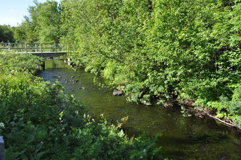
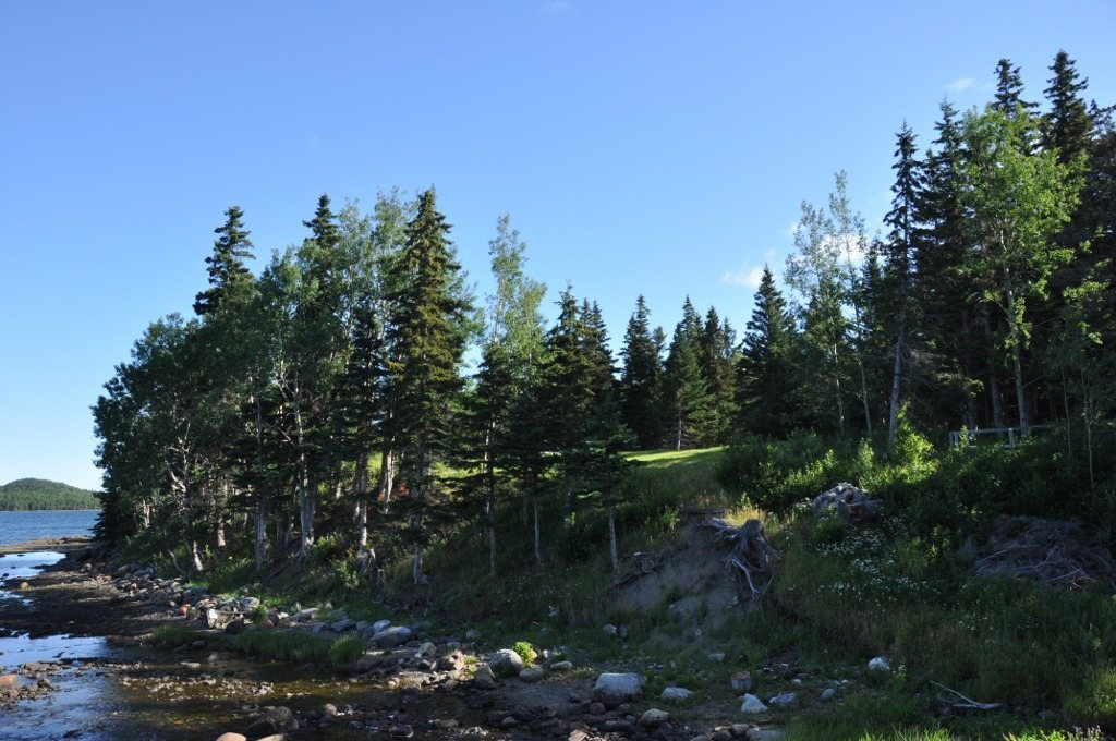
The settlement lies immediately northeast of Boyd’s Cove on the shore of Notre Dame Bay. It occupies a moraine, a deposit of loose sediment transported by glacial ice, approximately 6 metres above sea level. The porous ground drained rainwater quickly and helped keep the dwellings dry. A level beach beside the settlement provided a place to haul canoes ashore, while a nearby stream supplied clean water and salmon.
The site contains nine round and two oval depressions interpreted as the remains of pit dwellings. These shelters were partly sunk into the ground, with shallow pits averaging about 6 metres in diameter. A wigwam stood within each depression and was covered with bark, while excavated earth was placed around its edges. This arrangement produced a dry, windproof shelter that could be used for several years. After abandonment, some pits became dumping places for food remains. About four dwellings were probably occupied at the same time, supporting an estimated population of 30 to 35 people.
Objects and evidence of contact
More than 1,000 iron nails were recovered in and around the dwellings. The Beothuk probably collected them from abandoned European fishing equipment or deserted buildings, then reworked many into tools including scrapers and arrowheads. Fragments of English and French pottery indicate that Beothuk people probably visited abandoned European fishing stations.
Beads from the settlement suggest possible peaceful exchange with other Indigenous peoples, probably Mi’kmaq and/or Innu. At the same time, strong evidence indicates that the Beothuk did not trade with Europeans. Together, the dwellings, food remains, tools, pottery, and beads provide material evidence for the community’s way of life and its connections with the wider region.