Bent’s Old Fort National Historic Site: A 19th-Century Trading Post
Site at a Glance
- Popularity
- High
- Country
- United States
- Primary era
- Modern
- Eras represented
- Modern
- Civilizations
- Unclassified
- Site type
- Military
- Remains
- Fort
On this page8 sections
History
Bent’s Old Fort National Historic Site preserves the location of a trading post built in 1833 near La Junta in southeastern Colorado, United States. American traders William and Charles Bent and their partner Ceran St. Vrain established the post, which operated until 1849. It stood on the Santa Fe Trail, an overland route linking Missouri with Mexican settlements in the Southwest. For much of its operation, it was the only major permanent white American settlement along that route.
Trade under Mexican jurisdiction
Although American traders ran the post, it stood in Mexican territory and remained under Mexican jurisdiction until 1848. The Bent, St. Vrain Company obtained Mexican trading licenses and paid customs duties, connecting commercial networks in the United States and Mexico. Bent’s Old Fort became the center of the company’s wider operations, which included Fort Saint Vrain to the north, Fort Adobe to the south, and stores in Taos and Santa Fe.
Trade focused on bison robes from Southern Cheyenne and Arapaho people. Early dealings with the Southern Cheyenne also included beaver and otter pelts. Visitors included Arapaho from central Colorado, as well as Comanche, Kiowa, Apache, Ute, and Shoshone people. Traders exchanged tools, diluted brandy, glass beads, and brightly colored textiles for furs and hides. People from different Indigenous nations also gathered at the fort for meetings and negotiations, treating it as a neutral place.
Travelers on the Santa Fe Trail, including U.S. Army personnel and explorers, stopped to replenish food and water and repair their wagons. The Army stored supplies and ammunition at the post. The Bent brothers employed Kit Carson as a hunter in 1841, and he visited regularly. John C. Frémont used the fort to prepare and supply expeditions.
War and a changing frontier
During the Mexican-American War, fought between the United States and Mexico from 1846 to 1848, the fort served in 1846 as a staging area for the Army of the West’s first campaign under Colonel Stephen Watts Kearny. From 1847, other military and civilian forts began appearing along the trail. The 1848 transfer of New Mexico, Arizona, and California to the United States increased the trail’s importance as thousands of settlers traveled west.
The rising traffic depleted springs, cleared scarce vegetation, and increased bison hunting. By 1849, most Cheyenne had moved away from the trail and trade with them had collapsed. A cholera epidemic also struck Cheyenne and other Plains peoples that year.
Closure and later forts
William Bent left the old fort in 1849 and moved his headquarters north to Fort Saint Vrain on the South Platte River. He tried to sell the property to the U.S. Army, which declined. On returning south in 1852, he salvaged what he could and shifted his trading business to a log post at Big Timbers, near present-day Lamar. Fire destroyed the old fort.
In 1853, Bent began building a stone fort on the bluff above Big Timbers. He traded there until 1860, when the U.S. government leased the building and it became known as Fort Wise. The Fort Wise Treaty between the United States and some Cheyenne and Arapaho chiefs was signed there on February 18, 1861. The railway’s arrival at the Arkansas River in the 1870s brought the wagon-train era to an end.
Preservation
The site became a National Historic Site managed by the National Park Service in 1960 and a National Historic Landmark on December 19 of that year. It was added to the National Register of Historic Places on October 15, 1966.
Remains
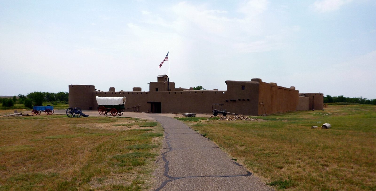
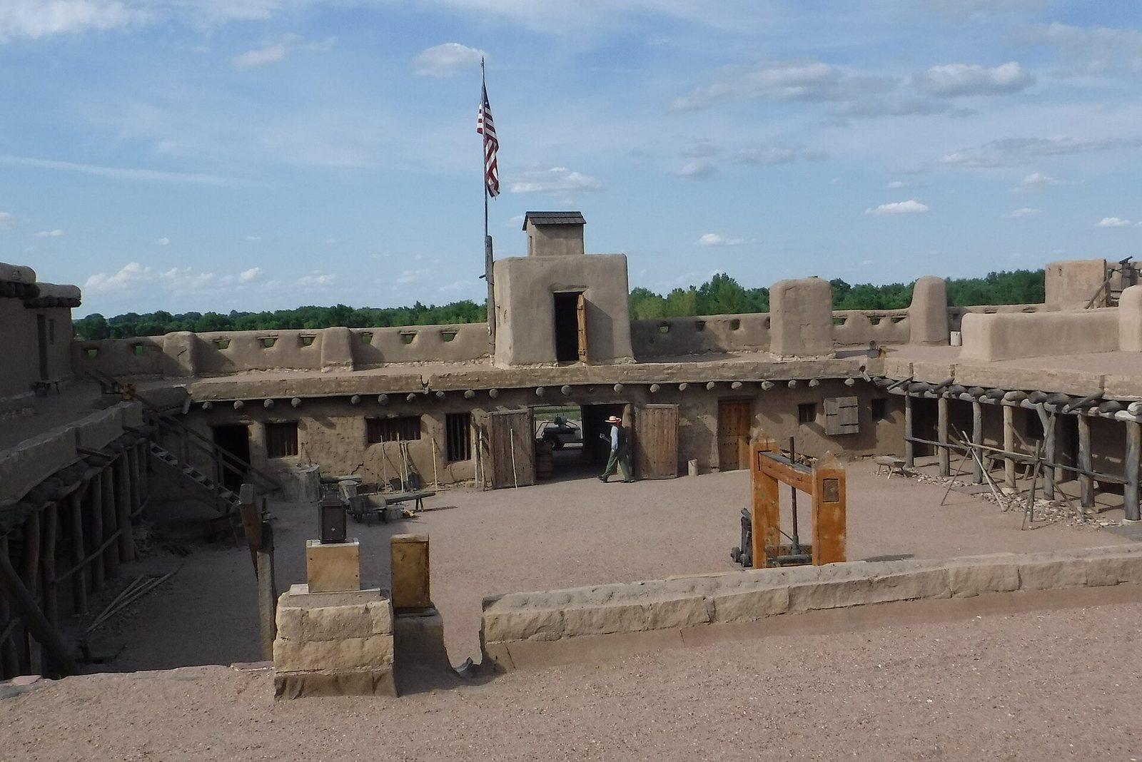
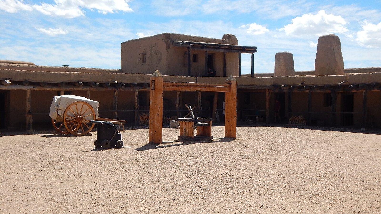
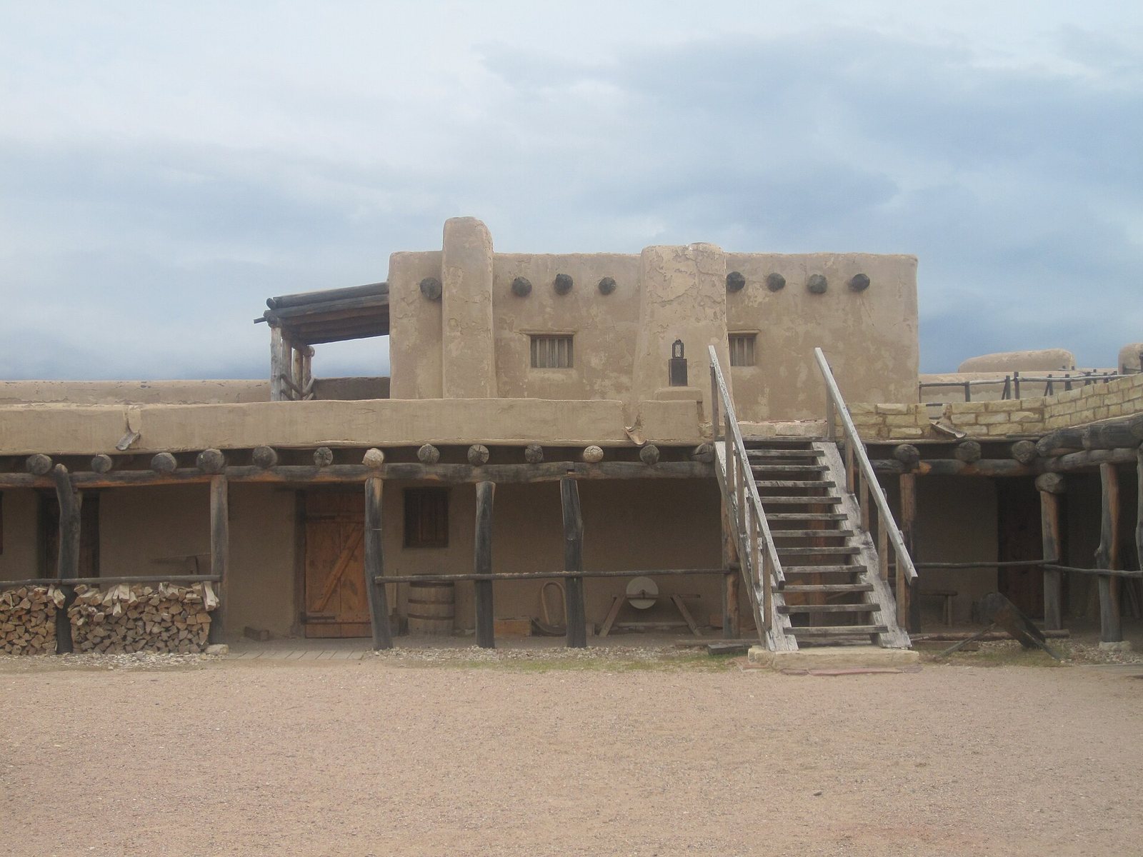
The 799-acre historic site occupies the north bank of the Arkansas River. The fort’s irregular quadrilateral plan encloses a large central courtyard, and its adobe walls, made from sun-dried earth bricks, were reinforced with wooden beams. The standing fort is a 1976 reconstruction made using old building materials. Excavations, period paintings and sketches, diaries, and other historical records informed its design, though some elements were conjectural.
Walls, entrance, and defenses
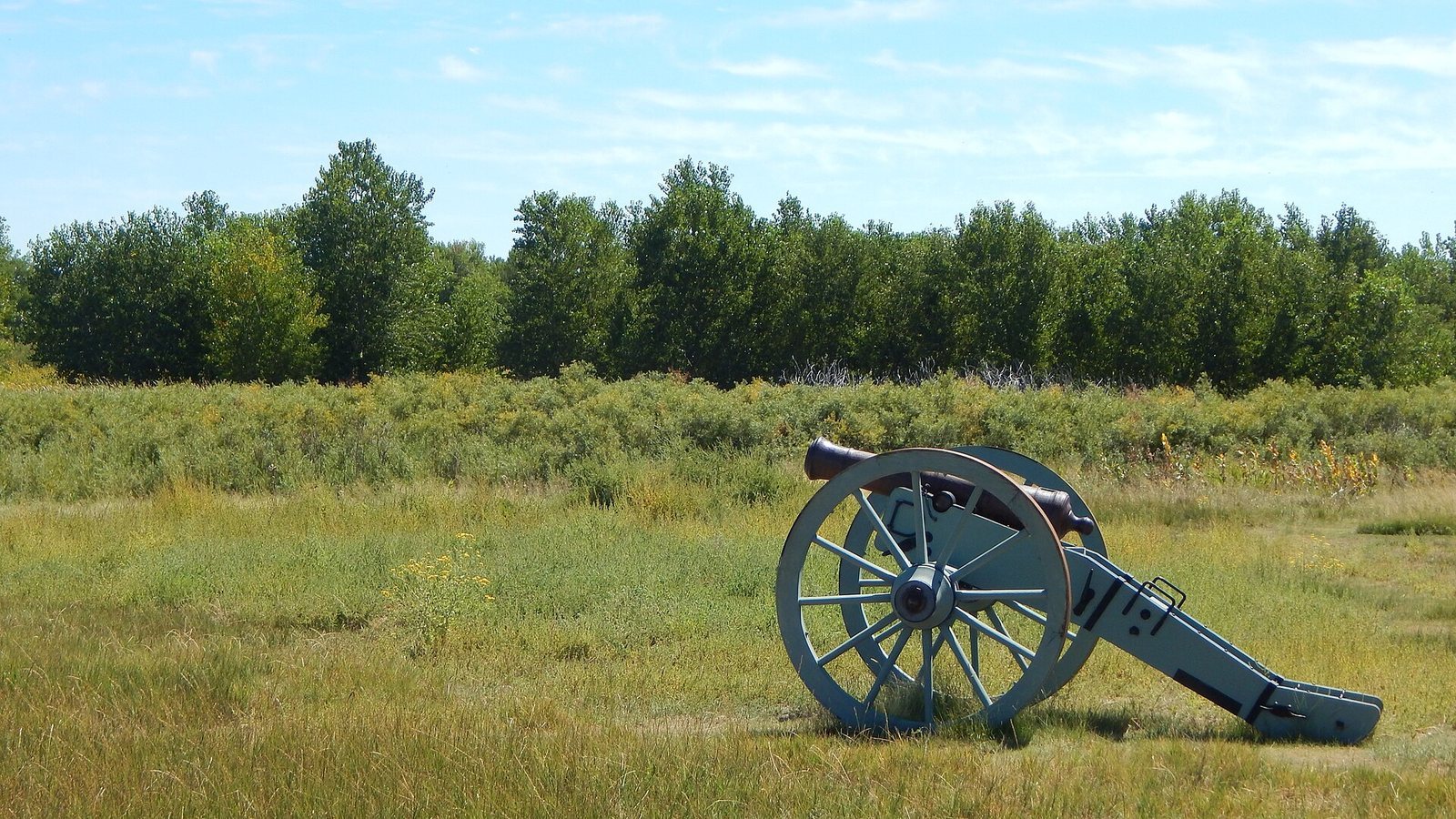
The fort measured about 180 by 135 feet, with walls roughly 15 feet high and 4 feet thick. The walls also formed the inner sides of rooms facing the courtyard and contained loopholes, narrow openings that allowed defenders to fire muskets from cover. Large gates made of heavy timbers formed the entrance. Two substantial defensive structures stood at opposite corners, each with a cannon mounted in it.
Work and living spaces
Stables and a corral adjoined the north exterior wall. Inside, traders’ quarters, a sales room, and workshops served the post and travelers, including blacksmiths’ and carpenters’ work areas for wagon repairs. The fort also contained guest rooms for trail travelers, a row of rooms along one side, a laundry, and a billiard room on the second floor.