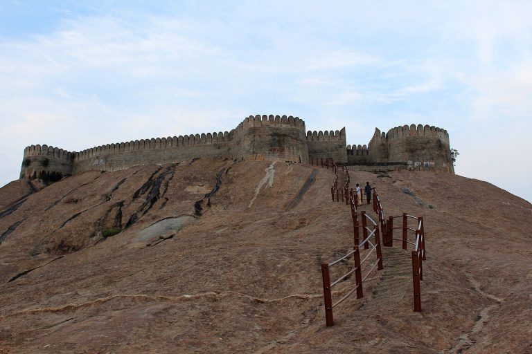
Attur Fort: A Seventeenth-Century Military Stronghold in India
Site at a Glance
- Country
- India
- Primary era
- Early Modern
- Eras represented
- Early Modern
- Civilizations
- Unclassified
- Site type
- Military
- Remains
- Castle
On this page7 sections
History
Attur Fort is a seventeenth-century military stronghold in India, built by the Gatti Mudaliar dynasty, a line of local military chiefs serving the Madurai Nayaks, the ruling house based in Madurai. The fort later became part of the shifting frontier between Mysore and Madurai, and served successive rulers as a military post.
Gatti Mudaliar and Mysore rule
By the late seventeenth century, recurring conflicts between Mysore and Madurai had brought the fort and surrounding territory under Mysore. The region passed from the Mysore Wodeyars, its ruling dynasty, to Hyder Ali, who ruled Mysore. In 1768, Attur surrendered to the East India Company, but Hyder Ali later retook the town.
Company and British administration
During the Third Mysore War, which ended with the Treaty of Srirangapatnam, Tipu Sultan used Attur Fort as an arms depot and watchtower. Under the treaty, the East India Company received five forts, including Attur. The surrounding region then became part of the Madras Presidency, the British-administered province in southern India.
From 1792, the British stationed the 23rd Madras Battalion at the fort under Captain Campbell. After Company troops moved to Sankagiri in 1799, Attur became a facility for storing weapons and ammunition. The fort stopped serving as an operational stronghold after 1854, when the area became part of the newly formed Salem District.
Today, the Tamil Nadu Government’s Department of Archaeology controls the fort, which is maintained by the Archaeological Survey of India.
Remains
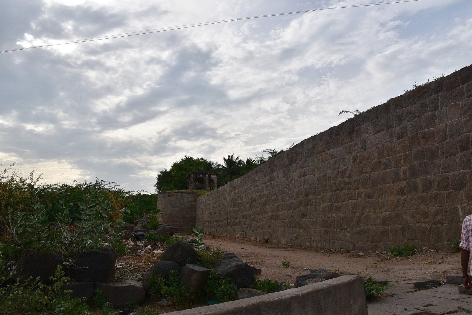
Attur town lies on the southern bank of the Vashista River, 56 km from Salem. The fort covers 62 acres and has entrances facing each cardinal direction. The river lies to its east, while moats defend the other sides.
Walls, entrances and water defenses
The fort walls rise about 30 feet and measure roughly 15 feet across. They consist of wedge-shaped cut stones fitted together without mortar; the stone is believed to have come from Kalladithankundru. The moats were designed to draw in river water from the south and carry it downstream. Together with the four entrances, these defenses define the fort’s perimeter.
Buildings and installations
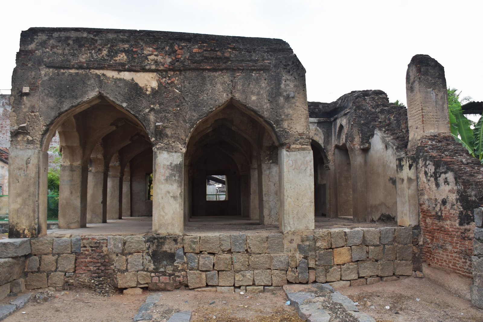
Inside the fort, a large chamber served as an audience hall under the Gatti Mudaliars. A pool house for the royal family received river water through a water gate, an opening that admitted water into the fort. Other structures include two palaces, a royal court, three treasuries, three temples and two ammunition magazines, military storage buildings for weapons and ammunition.
Image, tombs and present condition
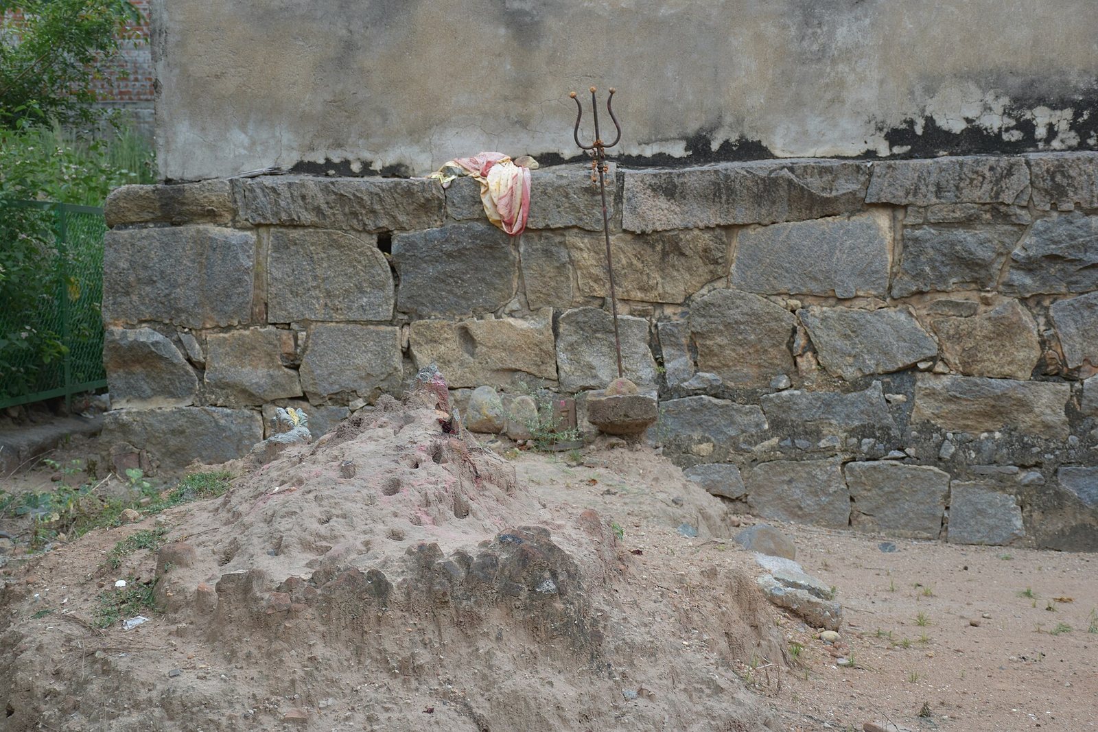
The fort contains an image of a soldier riding a horse. Tombs of Lieutenant Colonel John Murray and Henry Coyle, the fort’s captain, stand at its rear. Some sections are dilapidated, and residents of informal settlements occupy most of the surviving portions.