Arrajan: A Sasanian City and Medieval Provincial Capital in Iran
Site at a Glance
- Popularity
- High
- Country
- Iran
- Primary era
- Medieval
- Eras represented
- Bronze Age, Medieval
- Civilizations
- Elamite, Sassanid
- Site type
- City
On this page17 sections
History
Arrajan was an ancient city near Behbahan in Khuzestan Province, Iran, refounded in the early sixth century CE by the Sasanian king Kavad I. The Sasanians ruled an Iranian empire that preceded the Islamic conquests. The area had been occupied since the second millennium BCE, during the Elamite period, associated with an ancient civilization of southwestern Iran. Arrajan later became the capital of a province bearing the same name.
Sasanian refoundation
During campaigns in northern Mesopotamia, Kavad is said to have transferred about 80,000 people from Amida, Theodosiopolis and possibly Martyropolis, cities on the eastern Roman frontier, to Pars and Khuzestan. Some of these deportees may have helped build Arrajan. Kavad may also have renamed the city Weh-az-Amid Kavad, meaning “Better than Amida, Kavad built this.” Arrajan became a center for linen production.
Islamic conquest and medieval prosperity
Arrajan surrendered peacefully during the Arab-Muslim conquest in 647, during the caliphate of Uthman ibn Affan. Abu Musa al-Ashari advanced from Basra, while Uthman ibn Abi al-As approached from Sabur. The city agreed to pay both a poll tax and a land tax.
Under Islamic rule, Arrajan grew as a regional administrative and commercial center. The province passed in turn under the Saffarids, Buyids, Seljuks and Atabegs, ruling houses in medieval Iran, and the city’s prosperity reached its height in the eleventh century. Routes linked it with Mesopotamia, Susa, Shiraz, Isfahan and ports on the Persian Gulf. Agricultural and forest goods, including dates, date syrup, grapes, olives, olive oil, nuts and citrus fruits, were shipped through ports such as Jannāba, Sīnīz and Mahrūbān. Trade also brought spices, aromatics, medicines, ivory and ebony from India and farther east.
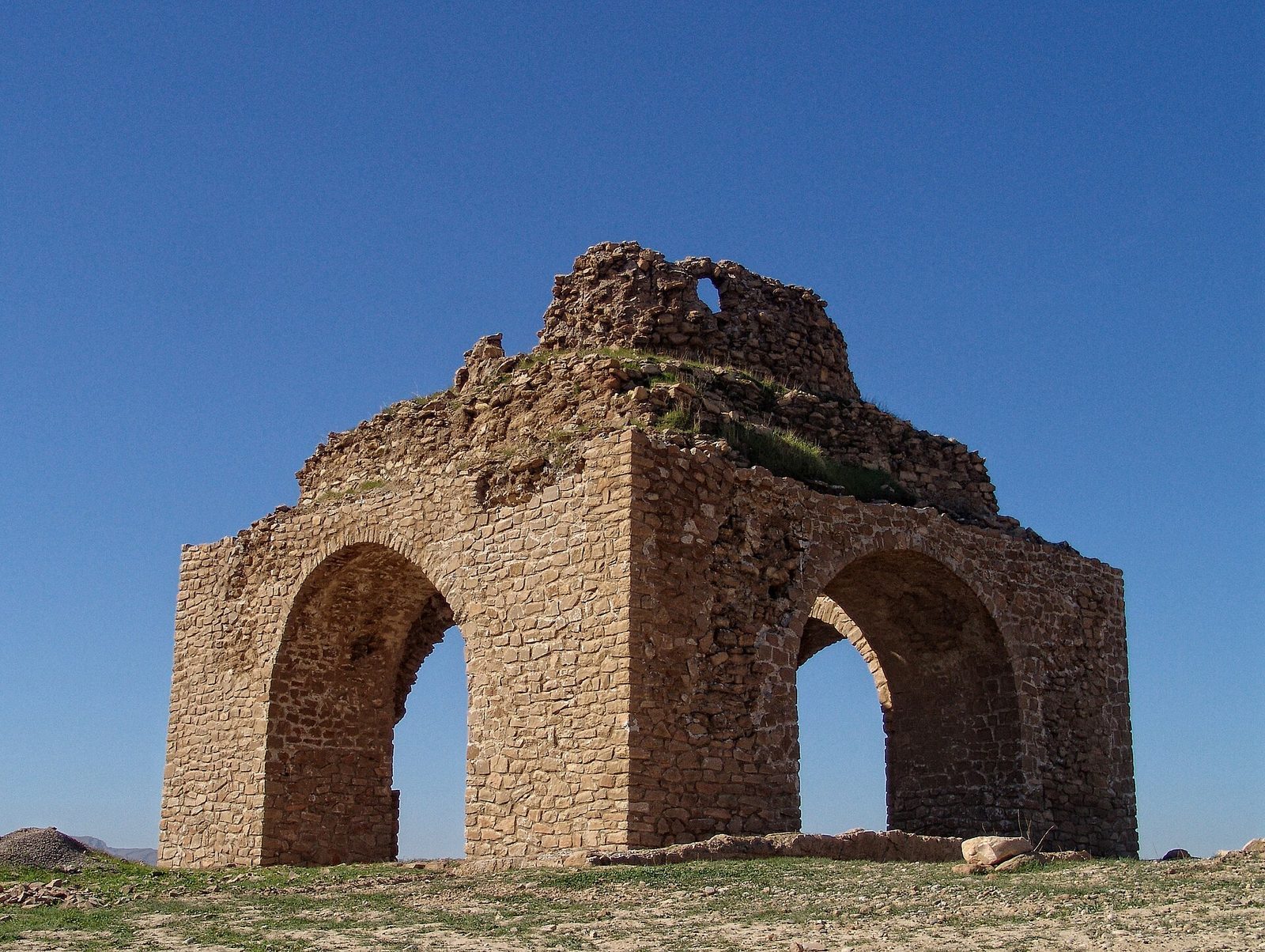
The wider area had a varied religious population. Before the conquest, it included Jews, Zoroastrians, and communities called Sabians, a historical label used for groups whose precise identity varied. Under Islamic rule, Ismailis, Kharijites, Sunnis and Twelver Shiites were also present. Kharijites were an early Islamic movement, while Twelver Shiism is the largest branch of Shiite Islam. A Zoroastrian fire temple was associated with Arrajan in a tradition linking it to the time of Bahrasf, a figure in Iranian legend. Zoroastrianism is an ancient Iranian religion in which fire has an important ritual role.
Decline, destruction, and later history
Arrajan’s decline began under the Buyids. In 1052, the sons of the Buyid ruler Abu Kalijar fought over control of the city, which changed hands repeatedly from 1053 to 1057. The traveler Nasir Khusraw counted about 20,000 male inhabitants in 1052. Earthquakes and conflict damaged Arrajan and its infrastructure during the eleventh century. A major earthquake in 1085 destroyed the city, which did not recover. Raids by Nizari Ismailis, a branch of Ismaili Shiite Islam, also harmed Arrajan and nearby Jūma. The Ismailis captured the city but were later driven back during a campaign by the Seljuk ruler Muhammad Tapar.
Behbahan later arose nearby, and the name Arrajan was also used for the surrounding area. The extent of continuity between the ancient city and the later settlement remains uncertain. In the early 1980s, work connected with a diversion dam led to the excavation of an Elamite tomb. Excavation was curtailed as dam construction continued and resources for wider investigation were limited, and the excavated area was covered again. Bulldozing, farming and illicit digging have damaged archaeological layers; activity associated with a cement factory and the oil industry also threatens the site.
Remains
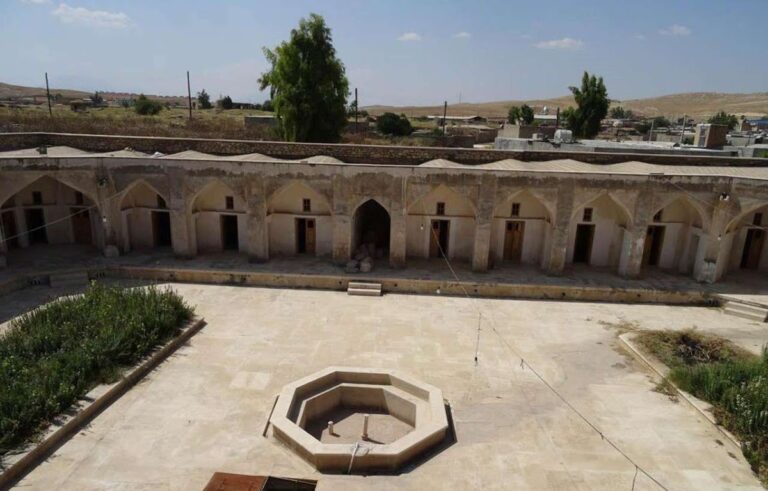
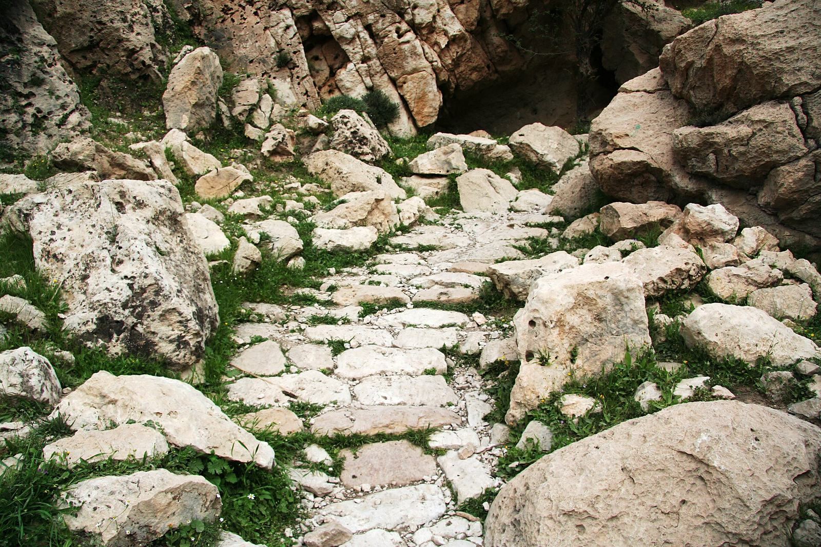
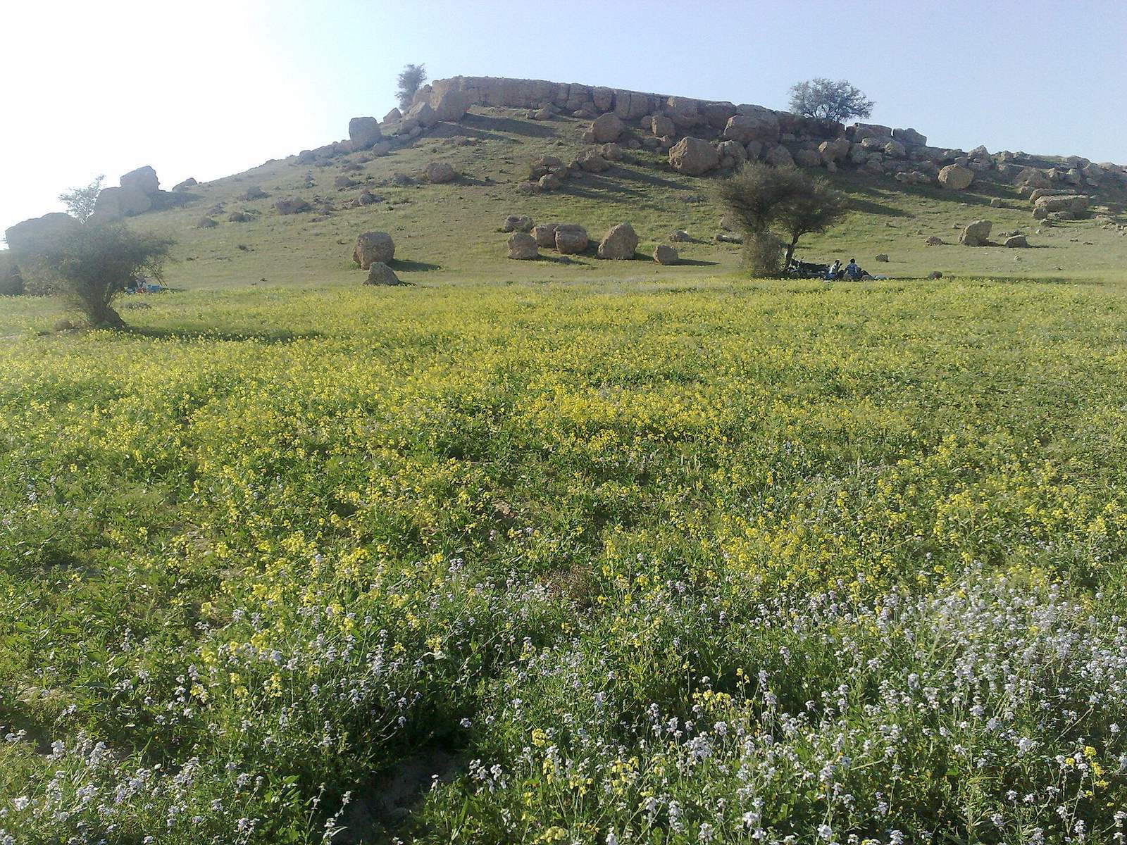
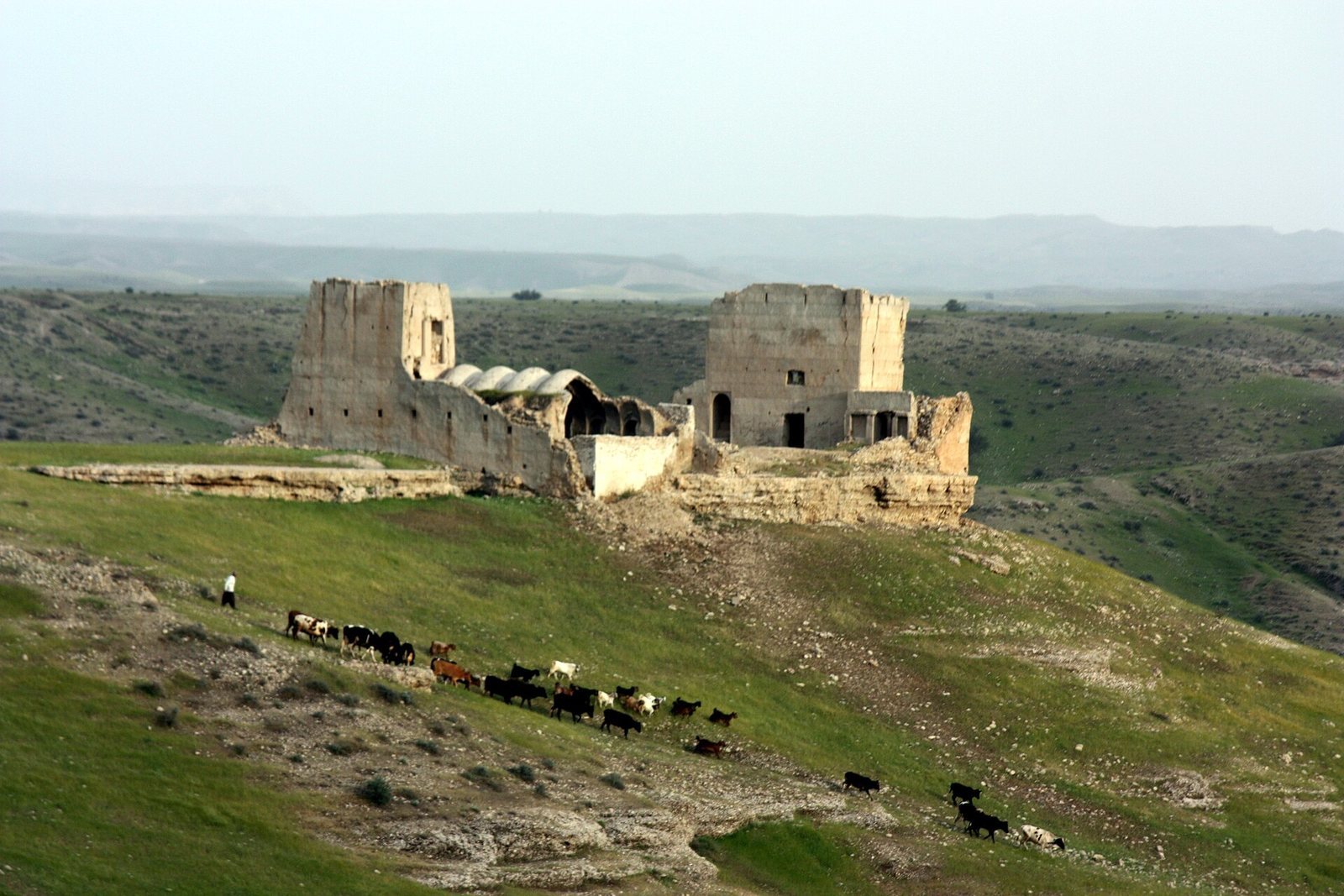
The ruined archaeological area extends across both banks of the Marun River, about 12 kilometres from Behbahan. It covers an estimated four square kilometres and measures approximately 1.5 by 2.5 kilometres. Its scattered remains include building and wall traces, a castle, a qanat (an underground channel carrying groundwater), a dam and a bridge. Buildings used ashlar, masonry made from carefully cut stone blocks.
Urban layout and buildings
Gates and civic buildings
The medieval city had six gates serving roads toward Ahvaz, Rishahr, Shiraz, Rusafa, Maidan and the weighers’ quarter. An administrative building and a citadel were also part of the city’s layout.
Great Mosque and bazaar
The Great Mosque stood near the city centre and close to the bazaar, and had a tall minaret. The bazaar included a market for cloth sellers, with doors on four sides that could be closed at night.
Houses and water channels
Some houses had rooms and passages below ground, providing cool spaces in summer. Subterranean channels supplied water to houses across the city.
Waterways and bridges
Canals
Four large canals were cut beside the northern flank of a mountain. They crossed the city and continued beyond it, with gardens and orchards planted along their banks. These open canals were separate from the underground channels supplying houses.
Sahak well and mountain cave
The Sahak well was believed to be bottomless and to yield enough water to turn a mill and irrigate the village. A mountain cave of uncertain location was also associated with Arrajan. Tradition described it as having an iron door and seal, with guarded access and an annual opening to collect mumia, a mineral substance valued in medieval medicine.
River bridges
Two bridges crossed the nearby Tāb, also called the Kordestan River. One was a single-arch bridge attributed to a physician from Daylam, a region south of the Caspian Sea, who served al-Hajjaj ibn Yusuf, the Umayyad governor and military administrator in Iraq. Its span measured about 80 steps between supports, and it stood high enough for a camel rider carrying a very tall banner. A second bridge also crossed the river.
Elamite tomb and objects
Burial chamber and grave goods
The tomb was a masonry-lined burial chamber, broadly dated to the second millennium BCE. Bitumen mortar and a plaster coating helped limit moisture from the nearby Marun River. It contained a large bronze coffin and a skeleton, together with 98 gold buttons, a dagger, a silver bar, bronze vessels, a ewer, a drinking cup and a bronze tray. Some objects associated with the tomb have a separate date of around 800 BCE.
Arjan bowl
The bronze tray, also known as the Arjan bowl, has an engraved sixteen-petalled flower at its centre. A row of lions and several rows of varied scenes surround it, separated by braided patterns. The scenes may show a ruler setting out to hunt, a revolt during his absence, his return and suppression of the revolt, and a celebration at which hunted animals were presented. Musicians appear among the figures, including one interpreted as playing either a harp or a lyre. An Elamite cuneiform inscription, writing formed from wedge-shaped marks, runs along the tray’s back edge.
Ring of power
A gold ring known as the ring of power was found on the deceased’s left hand. It weighs 237 grams and has a hollow, crescent-shaped cylindrical handle ending in two oval plates. Each plate shows two winged lions beside a sacred tree, surrounded by braided decoration, with three rows of arch-shaped motifs below the lions. Grooves on the handle lead toward a twelve-petalled flower on the outer face of each plate. An Elamite cuneiform inscription on the handle names Kidin-Hutran, an Elamite ruler, as the son of Kurlush.