Achanduin Castle: A MacDougall Fortress on Lismore


Site at a Glance
- Rating
- 4.6
- Popularity
- Very Low
- Country
- United Kingdom
- Primary era
- Medieval
- External website
- Open
- Eras represented
- Medieval
- Civilizations
- Kingdom of Scotland
- Site type
- Military
- Remains
- Castle
On this page8 sections
History
Achanduin Castle is a ruined medieval castle in the United Kingdom, probably built by the MacDougalls around 1290 on Lismore. The MacDougalls were a medieval Scottish kindred whose power centred on the western Highlands and islands. The castle belonged to their sphere of control during the fourteenth century and later became associated with the Bishop of Argyll.
MacDougall Foundation and Lordship
An earlier interpretation attributed Achanduin to the Bishop of Argyll, but this is now considered unlikely. The Diocese of Argyll, a territory overseen by a bishop, and the associated see of Lismore were too poor during the thirteenth century to finance such a castle. Achanduin may instead have been built during the time of Laurence de Ergadia, Bishop of Argyll, who was possibly himself a MacDougall.
The castle first appears in written evidence in 1304, when Eugenil de Ergadia, Lord of Lorn, Menderaloch, and Lesmor, granted Andrew, Bishop of Argyll, land at Achichendone beside the castle. The grant indicates that Achanduin was then in MacDougall hands. Lismore was also the dowry of Juliana MacDougall when she married Alexander MacDonald, who became Lord of the Isles in 1293. The MacDougalls, supported by John Balliol, King of Scots, refused to transfer the island to Alexander. Alexander appealed to Edward I of England, who encouraged such appeals and sided with the MacDonalds.
Loss of Power and Later Use
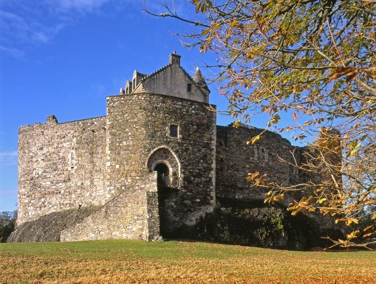
The MacDougalls lost most of their lands in 1308 after the Battle of the Pass of Brander and the loss of Dunstaffnage Castle. Lismore does not appear in records of their redistributed possessions, so they may have been permitted to retain the island. Around 1451, John Maol received Dunolly and other lands from John Stewart, Lord of Lorn. The MacDougalls are believed to have left Lismore around this period for the mainland, where they built Dunollie Castle.
By 1452, the Bishop of Argyll appears to have taken possession of Achanduin and occupied it briefly, although the castle may have passed to the bishopric earlier. The bishop did not visit Lismore frequently. Archaeological evidence indicates little occupation from about 1400 until relatively modern times, while the castle appears to have served as a farmstead from the seventeenth through the nineteenth centuries.
Excavation and Protection
Dennis Turner excavated Achanduin over six seasons between 1970 and 1975, generally working for several weeks each August. He died before completing the excavation report, and David H. Caldwell and Geoffrey P. Stell later completed it from his notes. The notes were sometimes difficult to interpret because the excavation predated modern archaeological methods. Turner may also have uncovered a structure that existed before the castle. Worked stones of apparently prehistoric type suggest possible prehistoric occupation of the hilltop.
Achanduin is a scheduled monument under the official name Achadun Castle, with that designation recorded in 1964. A scheduled monument is a legally protected archaeological or historic site considered nationally important.
Remains
Ridge-top Enclosure
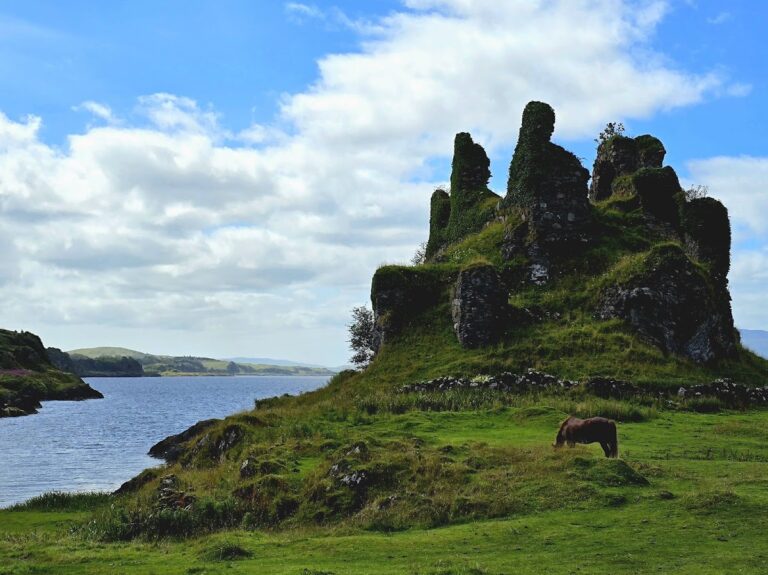
Achanduin stands in ruins on the summit of a limestone ridge on Lismore’s north-western shore, overlooking Loch Linnhe and Bernera Island. The castle lies about 5 kilometres west of Achnacroish. Its surviving curtain walls, defensive walls enclosing a castle or fortified area, surround an approximately 22-metre-square enclosure. They range from 1.4 to 2.4 metres in thickness.
Surviving Walls
The south-western and south-eastern walls have collapsed. The north-eastern wall and much of the north-western wall remain standing, reaching a maximum height of 6.7 metres. These surviving sections preserve the form and scale of the medieval enclosure on the limestone ridge.
Building Ranges and Courtyard
Inside the walls were at least two building ranges arranged on opposite sides of a small courtyard. The south-eastern range was the more substantial. Excavations in 1970 and 1971 revealed two doorways leading from the courtyard into the north-western range, clarifying how the surviving buildings were connected within the enclosure.
Nearby sites