Halabiye: A Roman and Byzantine Frontier Fortress on the Euphrates
Site at a Glance
- Popularity
- Medium
- Country
- Syria
- Primary era
- Medieval
- Eras represented
- Classical, Medieval
- Civilizations
- Byzantine, Roman
- Site type
- Military
- Remains
- Fortified Town
On this page16 sections
History
Early names and Roman rule
Halabiye is an ancient fortified city on the right bank of the Euphrates in Syria. A place called Halabit appears in records from Ebla in the 24th century BCE among cities that paid tribute. It was the southernmost city on the list, and may have stood near the boundary between Ebla and its rival Mari. The settlement of Zalabiye across the river may correspond to another place named in the same records, Šalbatu.
A Neo-Assyrian place-name, Birtu, may refer to the site under its classical name, Birtha, suggesting that it was occupied in the Neo-Assyrian period (934–608 BCE). Before Palmyra took control in the 3rd century CE, Birtha served as a Roman garrison town. Palmyra captured the settlement, strengthened and enlarged its defenses, and called it Zenobia in honor of its queen.
Palmyrene and Byzantine frontier city
Rome retook Halabiye in 273 CE, following Palmyra’s revolt against Roman rule, and refortified it within the Limes Arabicus, the Roman frontier system in the eastern provinces. These defenses were intended chiefly to protect Roman Syria from Persia. Halabiye reached its peak under Roman and Byzantine rule, with Byzantine rule representing the eastern continuation of the Roman Empire.
The fortress may have been repaired under the Roman emperor Diocletian and again under Anastasius I. Its earliest major wall phase probably dates to Anastasius’s reign, during a rapid program of frontier construction after a difficult war. Around 545, the Byzantine emperor Justinian I ordered the northern wall replaced, using a building method also found at Rusafa. He further strengthened the city during the 6th century. The work was overseen by the Byzantine architects Isidore the Younger and John of Byzantium.
The Sasanian Persian emperor Khosrow I failed to capture the city in 540. In 610, during the war between the Byzantine and Sasanian empires that lasted from 602 to 628, the Sasanian commander Shahrbaraz took it. The city was gradually abandoned afterward.
Later use and religious history
After Muslim forces conquered northern Mesopotamia, Halabiye no longer needed to serve as a strongly defended Euphrates frontier. Its hilltop citadel continued in use to control movement along the middle Euphrates and was substantially altered. An additional phase of use during the Ayyubid period, under a Muslim dynasty that ruled parts of the Middle East, is possible.
Halabiye appears to have been a bishopric subordinate to Sergiopolis, and an inscription names Bishop Lucian. In 1933, the diocese was revived in name as a Latin Catholic titular see, a bishopric title without a functioning local diocese. It had an incumbent until 2010.
Descriptions and archaeological investigations
The 6th-century Byzantine historian Procopius described Halabiye’s fortress in On Buildings. The detail of his account accords with later investigation of the site and is consistent with his having seen it himself.
European travelers and scholars began visiting Halabiye in the mid-19th century. Gertrude Bell passed through, and the French archaeologist Antoine Poidebard photographed the site from the air in the 1930s. Jean Lauffray investigated it in 1944 and 1945, mapping its walls and public buildings. His work ended abruptly in 1945 after unrest among the workers. Investigations in 1987 supported some of his findings.
A Syrian-French team began a new program in 2006, followed by excavation and restoration seasons from 2007 to 2009. It remapped public buildings and fortifications, excavated residential areas, and surveyed the cemeteries. The 2009 work recorded more than 100 tombs not previously listed. A proposed dam south of Halabiye could flood part of the site; the Syrian government worked with the United Nations Development Programme and UNESCO to mitigate the effects on the ancient remains.
Remains
Setting and city plan
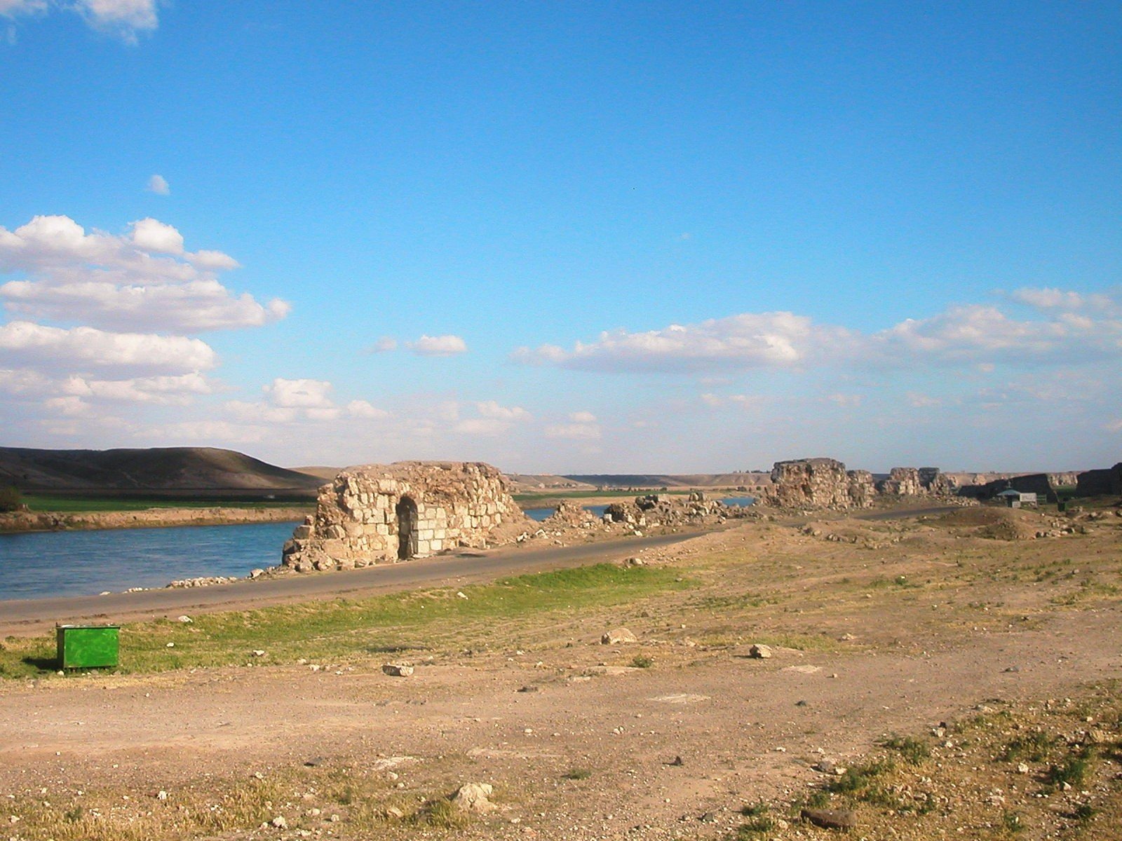
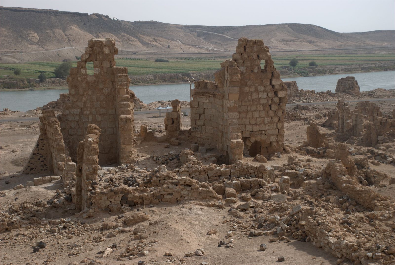
Halabiye occupies about 12 hectares where basalt outcrops narrow the Euphrates into a gorge. The local name for the constriction, al-khanuqa, means the strangler. The city stands about 45 kilometres upstream from Deir ez-Zor, with Wadi Bishri along its southern side and a route west toward the desert under its control. The smaller fortress of Zalabiye lies about three kilometres downstream.
The city has an irregular triangular outline. Its eastern side follows the river, while its western point rests on a hill bordered by deep valleys to the north and south. Most visible remains date to the Byzantine period. The eastern and western wall sections that survive rise between 8 and 15 metres.
Fortifications and citadel
Enclosing walls
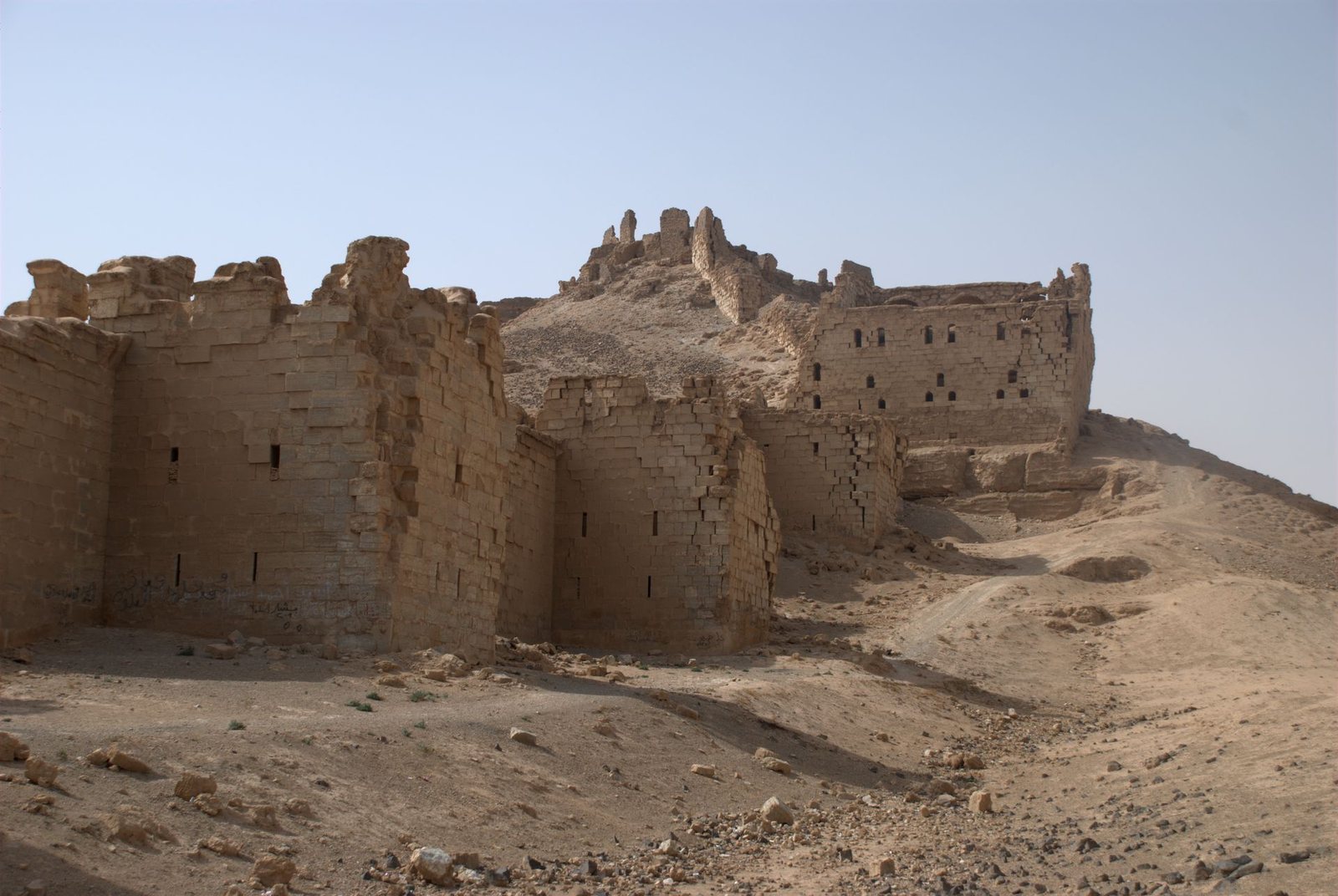
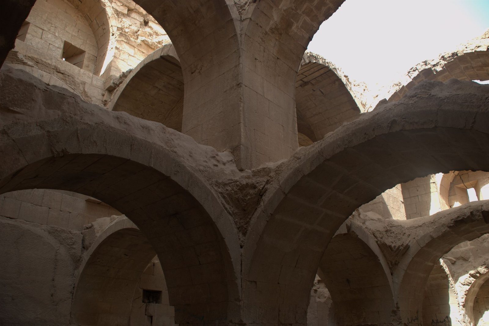
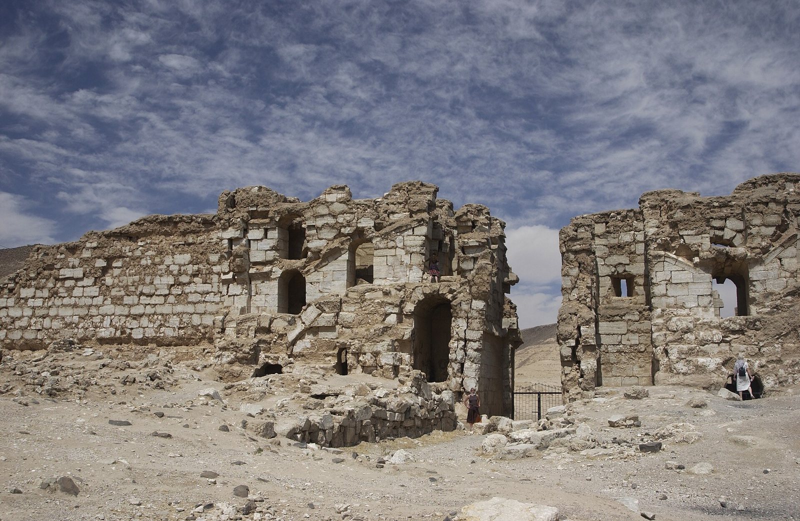
Massive walls enclose the city. The 385-metre eastern wall, which also protected Halabiye from flooding, is extensively damaged and has three gates. The northern wall extends 350 metres from the river to the hilltop citadel. It has five towers and a river-side gate flanked by two towers. The southern wall runs 550 metres from the citadel to the river, with ten towers and a gate similar to the northern one. The north and south walls remain largely intact. Their square towers are two storeys high, with stairs and covered galleries built within the curtain walls, the defensive walls connecting the towers.
Praetorium
Halfway up the hill, the northern wall incorporates a massive square, three-storey praetorium, a substantial military building that served here as barracks.
Hilltop citadel
The citadel occupies an elongated area about 45 metres long and 20 metres wide, oriented east to west atop a rocky hill. Its western part has a polygonal defensive wall flanked by towers; the eastern part is a massive rectangular building resembling the praetorium lower on the slope. Both sections contain Roman, Byzantine, and Arabic-period masonry.
Streets and public buildings
Street plan
A colonnaded street runs north to south between the gates in the northern and southern walls. A second street crosses it from east to west, dividing the city into quarters.
Forum and bath complex
The forum stood northwest of the streets’ crossing, while a public bath complex occupied the area to the northeast. The bath and the surviving street features belong to the city’s Justinian-era development.
Churches
Two churches have been identified. The larger stands in the northwestern quarter and dates to Justinian I’s reign. The smaller church, in the southwestern quarter, was built somewhat earlier.
Cemeteries and preservation
A cemetery beside the Euphrates, north of the city, contains tower tombs and tombs cut into rock. Dating to the Late Roman period, these burials show Palmyrene cultural influence. A second cemetery lay south of Halabiye.
The fortifications have survived largely intact. Earthquakes caused most of their deterioration, while the lack of a nearby community quarrying the abandoned buildings for construction material limited damage from reuse.