Castillo de San Francisco de Asís: A Spanish Colonial Fort on the Orinoco
Site at a Glance
- Popularity
- Medium
- Country
- Venezuela
- Primary era
- Early Modern
- Eras represented
- Early Modern
- Civilizations
- Habsburg, Habsburg Spain, Spanish
- Site type
- Military
- Remains
- Fort
On this page4 sections
History
Construction and defense of the Orinoco
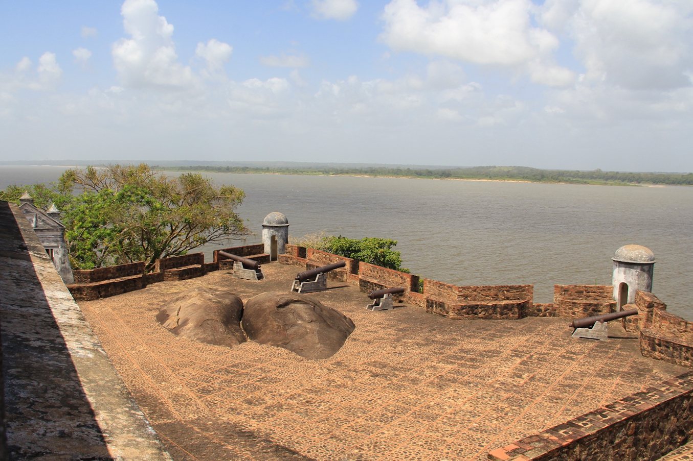
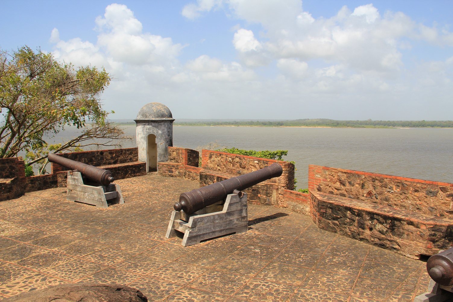
Castillo de San Francisco de Asís is a Spanish colonial fort on the southern bank of the Orinoco River in Venezuela. Spain commissioned it, and it was built between 1678 and 1685 on the orders of Governor Tiburcio de Axpe y Zúñiga. It was the first fort constructed on the hills along the river’s southern bank.
The fort was intended to protect and control Santo Tomé de Guayana, founded by Spanish explorer Diego de Ordás in 1532 near the mouth of the Caroní, at the site of present-day Puerto Ordaz. The position for defending the area is attributed to Antonio de Berrío, identified as Guayana’s first governor. In the seventeenth century, raiders and adventurers entered the Orinoco and moved inland in search of El Dorado, a legendary source of wealth in South America. The fort was built to counter that threat.
The second fort and later restoration
Construction of Castillo de San Diego de Alcalá began around 1747 to protect San Francisco. It stood on higher ground from which the older fort could be seen. Under Venezuelan General Joaquín Crespo, both forts were restored. San Francisco was renamed Fuerte Villapol in honor of Manuel Villapol, while San Diego became Fuerte Campo Elías, honoring Vicente Campo Elías. Both men were born in Spain and served in Venezuela’s independence struggle. The Corporación Venezolana de Guayana also restored San Francisco. The fort is owned by the Venezuelan national government.
Remains
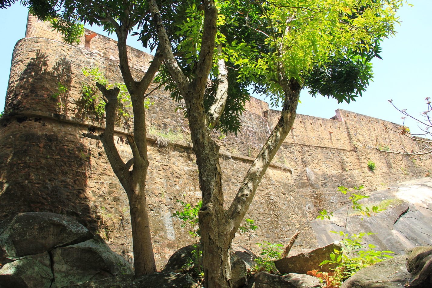
The fort occupies a rocky hill on the Orinoco’s southern, or right, bank, about 35 km from Ciudad Guayana. It stands at the river’s narrowest point east of Angostura, present-day Ciudad Bolívar. Its elevated position gave defenders a view of ships approaching along the river, and its construction used limestone blocks. A map and plan of the castle, accompanied by a proposal for works, records its layout. The map is credited to Jesuit priest Joseph Gumilla, while engineer Pablo Díaz Fajardo is identified with taking the intellectual authorship of the work.