Monts d’Or Aqueduct: Roman Water Supply for Lyon
Site at a Glance
- Popularity
- Medium
- Country
- France
- Primary era
- Classical
- Eras represented
- Classical
- Civilizations
- Roman
- Site type
- Infrastructure
- Remains
- Aqueduct
On this page14 sections
History
Construction and Roman operation
The Monts d’Or Aqueduct was a Roman water-supply system that ran through the Lyon area of France to ancient Lugdunum, now Lyon. At 26 kilometres, it was the shortest of the four aqueducts that served the city. It was long regarded as the earliest of them. Earlier dating placed its construction broadly between 30 BCE and 150 CE, often near 20 BCE; a revised chronology proposes a date between 20 BCE and 20 CE. Marcus Vipsanius Agrippa, a Roman general and statesman who served Augustus, may have initiated the project.
Dismantling of the siphon bridges
During the Migration Period, the large-scale movement of peoples across Europe in late antiquity and the early Middle Ages, the aqueduct’s two siphon bridges began to be dismantled. Their stone was taken for reuse, as was the lead from their water conduits.
Survey and protection
A geological map published by Albert Falsan and Arnould Locard in 1865 marked stretches of the aqueduct that remained visible. Since the 1990s, a 50-metre-wide protection corridor along its presumed route has formed part of the Lyon metropolitan area’s local planning and housing plan. Proposed work that could affect buried remains can lead to archaeological testing and, when warranted, excavation; eight preventive archaeological operations took place along the route from 1991 to 2007. From 2013 to 2023, researchers surveyed the presumed route to record visible remains and assess earlier interpretations. The hydraulic works in the Arches valley received historic-monument status in 1991.
Remains
Route and channel
The aqueduct began at about 372 metres above sea level in the Gambins valley at Poleymieux-au-Mont-d’Or. It wound east around the massif and ended at the Minimes district in what is now Lyon’s 5th arrondissement. Along the way, it passed through Curis-au-Mont-d’Or, Albigny-sur-Saône, Couzon-au-Mont-d’Or, Saint-Romain-au-Mont-d’Or, Collonges-au-Mont-d’Or, Saint-Cyr-au-Mont-d’Or, Saint-Didier-au-Mont-d’Or, Champagne-au-Mont-d’Or, Lyon’s 9th arrondissement, Écully, Tassin-la-Demi-Lune, the 9th arrondissement again, and the 5th arrondissement. Much of the channel followed hillsides at around 300 metres above sea level, descending along the contours at an average rate of 1.4 metres per kilometre.
The channel’s gradient varied. One proposed steep section drops at 7 percent just below the Gambins intake; another loses four metres in less than a kilometre in the Arches valley. The channel measured about 50 by 60 centimetres internally and about 1.50 by 1.90 metres externally. Its theoretical maximum flow was 12,000 cubic metres per day. Estimates of likely capacity differ: Camille Germain de Montauzan proposed 8,000 to 15,000 cubic metres daily, while Jean Burdy estimated 2,000 to 6,000.
Water capture and channel access
Gambins valley
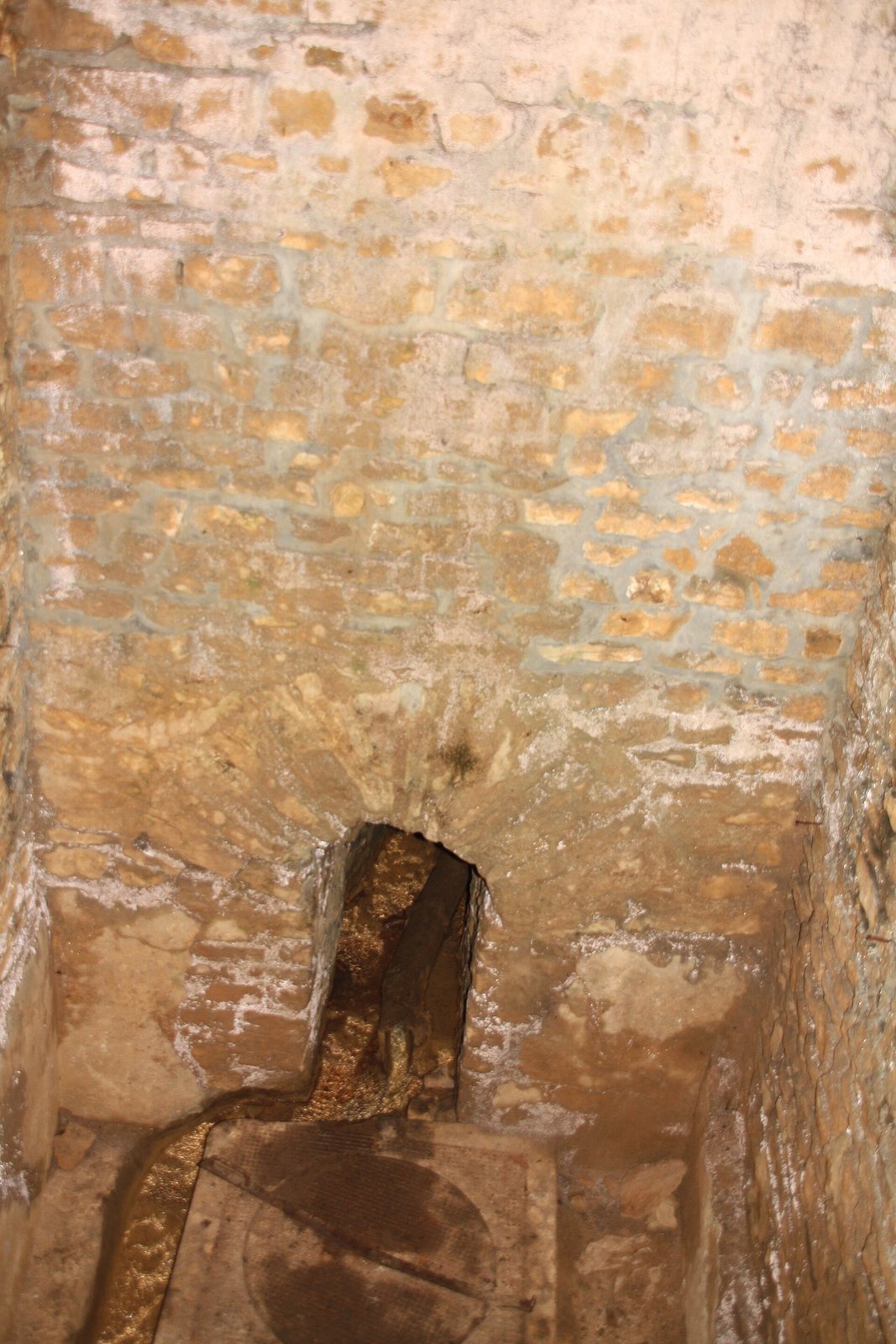
The Gambins washhouse, built in the 1820s in the hollow of the valley, marks the aqueduct’s present-day starting point. In 2019 and 2020, a local association cleared a capture gallery extending from the washhouse. The buried channel has a corbelled vault, formed by masonry courses projecting inward, and an inner lining of mortar containing abundant crushed tile. These features appear ancient and support locating the aqueduct’s origin at Gambins rather than farther downhill at La Rivière.
Arches valley
The underground hydraulic complex in the Arches valley extends for more than 150 metres. Two capture galleries feed an upper chamber, followed by a lower chamber connected to it by an underground channel. At the base of the upper chamber, ancient construction includes tile-rich mortar and traces of a facing made from flat roof tiles. The spring still flows, but alterations to the lower part have left its outlet feeding the Vallon d’Arches stream rather than the aqueduct. The complex may have served as the aqueduct’s earliest water intake, before the channel was extended to Poleymieux; this possibility could explain the sharp drop along the Arches section.
Intermediate intake and Curis opening
Only one intermediate water intake is confirmed, at Saint-Romain-au-Mont-d’Or, although Camille Germain de Montauzan considered that additional springs might have fed the system. At Curis-au-Mont-d’Or, a small channel-access opening in the Bois des Cieux sector was discovered in 1995. Measuring 42 centimetres by 60 to 80 centimetres, it leads into a buried channel that is exceptionally well preserved at this point, though narrow.
Crossings and settling basin
Siphon bridges
A siphon bridge carries water across a valley or depression in a pressurized conduit. One aqueduct crossing spanned the Limonest stream between Saint-Didier-au-Mont-d’Or and Champagne-au-Mont-d’Or, from the locality of Le Bidon. The other crossed the Planches stream at Écully toward Les Massues.
Saint-Cyr basin
A presumed circular settling basin, which slows water so suspended material can sink, lay near the route’s midpoint at Saint-Cyr-au-Mont-d’Or, at kilometre 14.50 and an elevation of 289 metres. It measured about 3.5 to 4 metres across and had a coating of tile-rich mortar. Excavation for a villa access road exposed the remains in 1965, after which they were destroyed.
Visible channel traces
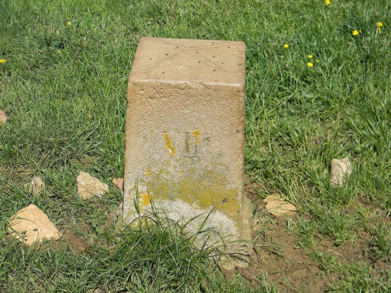
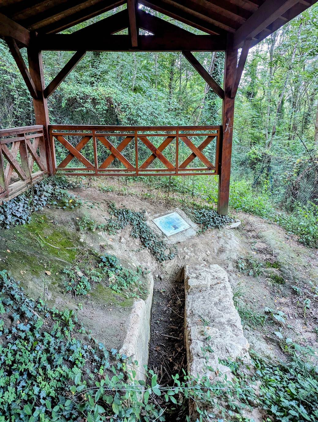
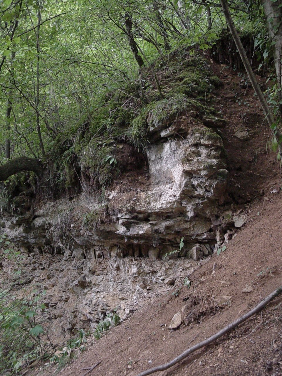
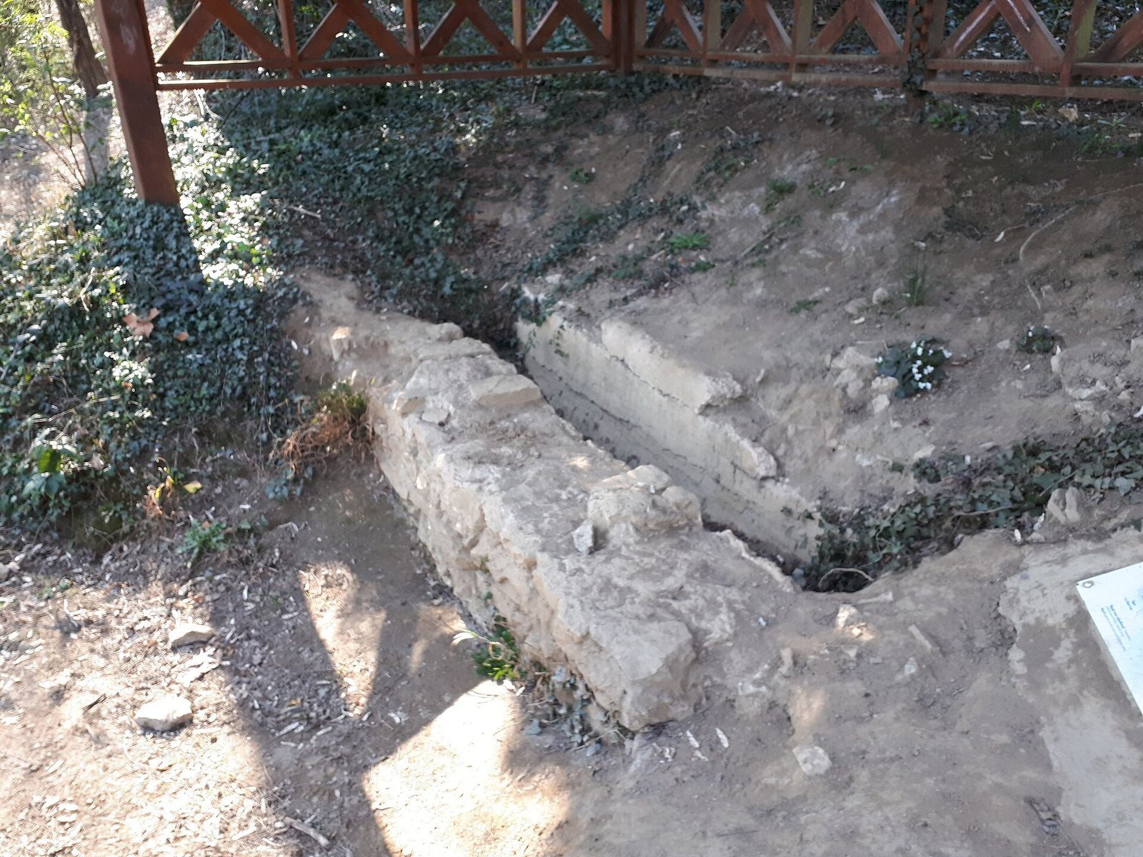
Sections of the channel can be seen at Curis-au-Mont-d’Or, Albigny-sur-Saône, Couzon-au-Mont-d’Or, and Saint-Romain-au-Mont-d’Or. The surviving traces are small and often difficult to reach, partly because the route crosses steep ground. Erosion, ground movement, and human activity, including quarrying of the area’s golden limestone, have exposed sections. At Saut-de-Roche in Couzon-au-Mont-d’Or, an old quarry access path cuts across the channel, which is visible on both sides. In the lower part of Collonges-au-Mont-d’Or’s Porte Aquaria park, an exposed stretch is sheltered by a purpose-built cover.