Tel Haror: A Multi-Period Settlement in Israel
Site at a Glance
- Popularity
- Medium
- Country
- Israel
- Primary era
- Bronze Age
- Eras represented
- Bronze Age, Iron Age
- Civilizations
- Canaanite, Philistine
- Site type
- Settlement
- Remains
- City
On this page20 sections
History
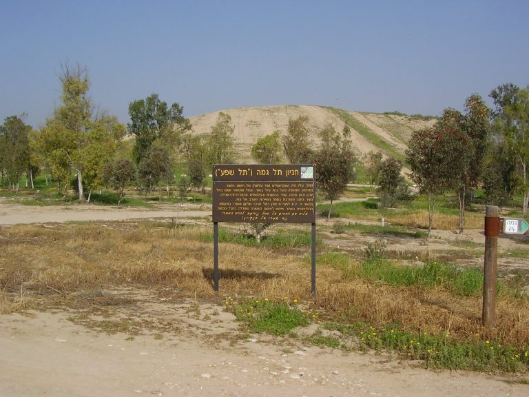
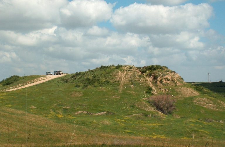
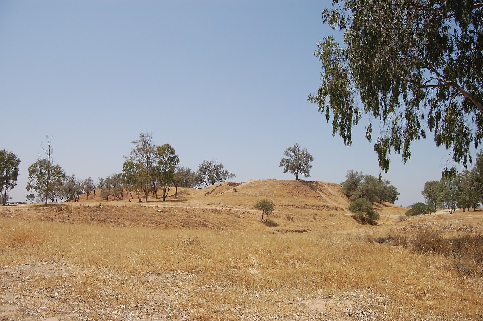
Tel Haror is an archaeological mound on the north bank of Wadi Gerar in Israel’s northwestern Negev. The settlement was occupied from the Middle Bronze Age through the Persian period, and its shifting boundaries reflect successive changes in where people lived on the mound.
Bronze Age settlement
In the Middle Bronze Age II, about 2000 to 1550 BCE, Tel Haror was among the largest settlements in southern Palestine. Its earliest settlement lay on the lower mound. Toward the end of the Bronze Age, the occupied area contracted northward. At the close of the Middle Bronze Age, the settlement was abandoned rather than destroyed. A massive earthquake around 1530 BCE probably brought down the temple’s great walls and other buildings.
Settlement resumed in the Late Bronze Age, with its principal center in the southeast of the site. The Persian conquest in the sixth century BCE was followed by a large settlement that may have been laid out according to a plan. By then, the earlier Assyrian defenses had fallen out of use.
Iron Age occupations
A fortified Philistine settlement occupied part of the lower mound around 1200 to 1000 BCE. The Philistines were an ancient people associated with settlements along the southern coast of the Levant. Tel Haror was inhabited again in the ninth and eighth centuries BCE. Archaeologist William G. Dever estimated its population at about 800 and proposed that Judahites, people associated with the kingdom of Judah, may have outnumbered Philistines.
Following the Assyrian conquest under Tiglath-Pileser III, an eighth-century BCE king of the Neo-Assyrian Empire, a fortified settlement was established on the high mound. It was probably part of Assyria’s effort to secure a foothold in Philistia. The town experienced repeated destruction, with episodes dated to the late eighth century BCE and around the middle of the seventh. The fortified settlement’s destruction by fire is dated more broadly to the seventh or sixth century BCE. From the Iron Age onward, settlement was concentrated on the high mound.
Proposed identifications
Tel Haror is generally identified with biblical Gerar, a place named in Genesis and 2 Chronicles. Yohanan Aharoni advanced the identification in 1956. The sixth-century Madaba Map, a mosaic map of the Holy Land, gives a related place-name, Siatos Gerraticus. Other proposed locations for Gerar include Tell Jemmeh, Tell esh-Sharia, and Tell et-Tuwail.
Other interpretations have linked the site to different ancient histories. In 1924, W. F. Albright proposed that it was a colony founded by people associated with the kingdom of Kush, south of Egypt, in the tenth century BCE. Anson Rainey identified Tel Haror with Sharuhen, a city known from ancient Egyptian records, and Donald Redford supported the proposal, pointing to the site’s size and location.
Shrine and modern investigation
A tomb on the mound is attributed to Abu Hurayra, traditionally regarded as a companion of Muhammad. The site’s Arabic name is believed to derive from him. Before the 1948 war, local Arab residents visited the tomb and made sacrifices there over the course of a week. A local Bedouin group regarded Abu Hurayra as an ancestor. Visits were especially associated with the end of the harvest; some considered them obligatory and made sacrifices elsewhere if unable to go.
During the 1948 war, Israeli forces occupied the site. The Land of Gerar expedition excavated Tel Haror from 1982 to 1988 under Eliezer Oren, on behalf of Ben-Gurion University of the Negev and in cooperation with the French National Centre for Scientific Research in Jerusalem and Brandeis University. Oren, P. Nahshoni, and G. Bar-Oz carried out further excavations in 2010.
Remains
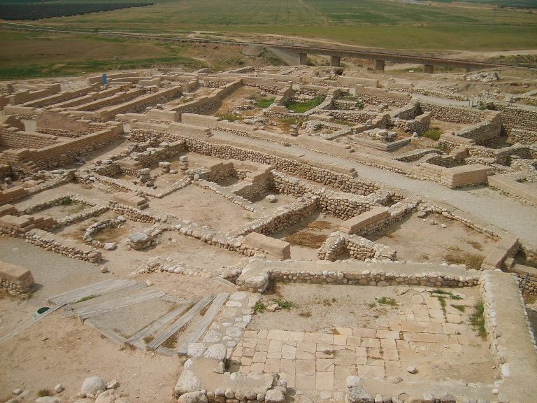
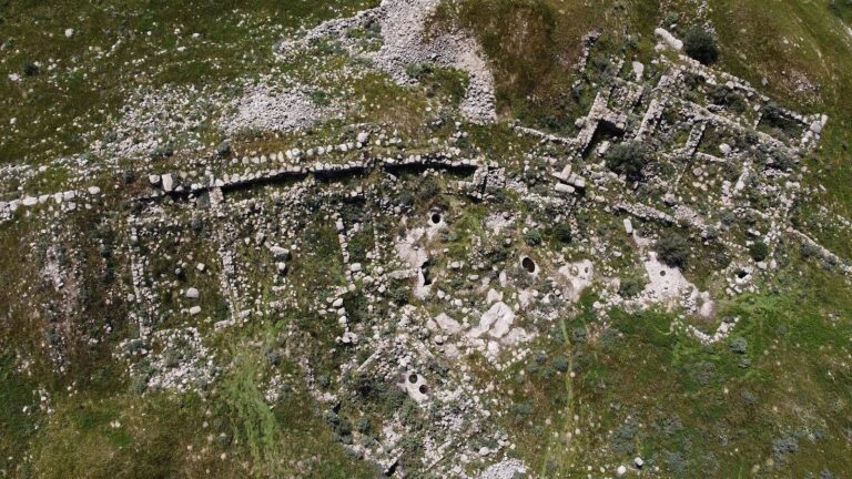
The mound covers about 150 dunams, roughly 40 acres, and rises to 136 metres above sea level. It stands beside Wadi Gerar, a valley channel that may carry seasonal water, and is divided into a lower and an upper city. A nearby moshav, or cooperative agricultural community, lies in the surrounding area. Some walls combine carefully dressed stone blocks, known as ashlar masonry, with sun-dried mud brick. Similar construction at Tel Sera, about 7 kilometres east along the valley, suggests that the two settlements were probably connected early on. Tel Sera is usually identified with biblical Ziklag.
Middle Bronze Age city and sacred precinct
Defenses and well
The Middle Bronze Age city was protected by a broad earthen rampart, later strengthened with a substantial stone wall built on top of it. A deep ditch ran in front of the defenses. Within them was a well more than 10 metres deep. It was later filled, and its contents included remains of ceremonial feasts.
Temple
The sacred precinct contained a temple rebuilt or altered through several phases. Its design belonged to a tower-like temple form called a migdol. The building measured 9 by 15 metres externally, and its massive walls may originally have risen about 10 metres.
Ritual deposits and burials
Animal-sacrifice remains, ritual pottery including imported vessels, and numerous deposits were found in the precinct. Bird and puppy burials were placed there with offering vessels and clay figurines, probably in connection with divination practices.
A roughly four-year-old donkey was buried in the Middle Bronze Age III precinct, dated to 1700/1650 to 1550 BCE. The animal was found complete, with a metal horse bit beside its teeth and fittings for a saddlebag associated with its back. Its age, condition, and burial setting point to a sacrificial offering. An older donkey lay beside it, with another donkey’s jaw nearby; fragments of a storage jar and bowl were also recovered. The young donkey burial belongs to the precinct’s final phase.
Minoan inscription
A pottery fragment from the precinct, brought from Crete and probably its southern coast, bears three marks incised before firing. The signs may belong to Linear A or Cretan hieroglyphs, undeciphered writing systems of Bronze Age Crete. This Minoan inscription, relating to Crete’s Bronze Age civilization, is one of only two found in Israel.
Late Bronze Age settlement
The Late Bronze Age settlement’s main area covered about 4 dunams in the southeast, over earlier defenses and near the springs of Wadi Gerar. Its remains may include a fortress and a granary. Finds dated to about 1550 to 1300 BCE include pottery imported from Crete and Cyprus, as well as an ostracon, a pottery fragment used for writing, bearing Egyptian hieratic script.
Iron Age settlements
Philistine settlement on the lower mound
The early Iron Age fortified settlement occupied about 2 to 3 dunams on the lower mound. Decorated Philistine pottery, in both monochrome and bichrome styles, was found at the site. Other parts of the lower mound contain Iron Age refuse pits and additional installations.
Defenses on the high mound
The later Iron Age settlement on the high mound had an extensive defensive system. It included an earthen rampart, a wall about 4 metres thick, watchtowers, corner fortresses, and a glacis, a sloping defensive surface.
Storage quarter and finds
A large storage area contained numerous objects, including a pottery vessel marked with an inscription, the hieratic numeral 8, and an Egyptian ankh, a loop-topped cross-shaped symbol. Other finds reflect Phoenician and Edomite cultural traditions.
Persian-period finds
Imported Greek objects came from the settlement that followed the Persian conquest. These finds provide material evidence for the site’s Persian-period occupation.
Summit features
Abu Hurayra shrine
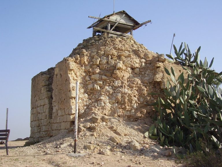
The shrine attributed to Abu Hurayra stands on a slightly raised part of the summit. It consists of a small stone-built room capped by a dome and is surrounded by tall eucalyptus trees. The structure is dilapidated and at risk of collapse.
First World War cemetery
A Turkish cemetery dating to the First World War is also located on the mound’s summit.