Chaiturgarh Fort: A Kalachuri Stronghold in India
Site at a Glance
- Popularity
- Medium
- Country
- India
- Primary era
- Medieval
- Eras represented
- Medieval
- Civilizations
- Unclassified
- Site type
- Military
- Remains
- Fort
On this page10 sections
History
Chaiturgarh Fort, also known as Lafagarh, is a hilltop fort in India whose recognizable form probably developed in the 10th century under the Kalachuri dynasty, a medieval Indian ruling house. Its construction is attributed to Kalachuri ruler Raja Prithvideva I, and it is counted among the 36 forts of Chhattisgarh. Oral traditions connect the area with earlier tribal or protohistoric importance, though pre-Kalachuri occupation remains unconfirmed.
Kalachuri origins and names
A genealogical inscription dated 1181–82 traces a Kalachuri lineage to the Haihayas, an ancient ruling lineage associated with central India. It recounts that a Haihaya king had eighteen sons, including Kalinga. Kalinga’s son Kamala ruled Tummana, and the succession then passed to Ratnaraja I and Prithvideva I.
The name Chaiturgarh is thought to come from Chaturgarh, meaning “fort of four directions,” perhaps an allusion to the site’s strategic position. Local traditions also link Lafa and Lafagarh with the Lafas tribal communities historically associated with the area.
Mughal and local rule
Mughal emperor Akbar captured the fort in 1571, and Mughal rule there continued until 1628. It later passed among local rulers and had largely lost its military importance by the early modern period.
Pilgrimage and later history
Religious use sustained the fort’s cultural importance after its military role declined. Worshippers of Mahishasur Mardini, a form of Durga shown defeating the demon Mahishasura, have long made the site a pilgrimage destination. In the 1870s, surveyor and archaeologist Joseph David Beglar described the fort and its temples. He suggested that it may have been occupied briefly during the 1857 Rebellion, a major uprising against British rule in India. The Archaeological Survey of India protects the monument, while limited maintenance and encroachment affect the site.
Remains
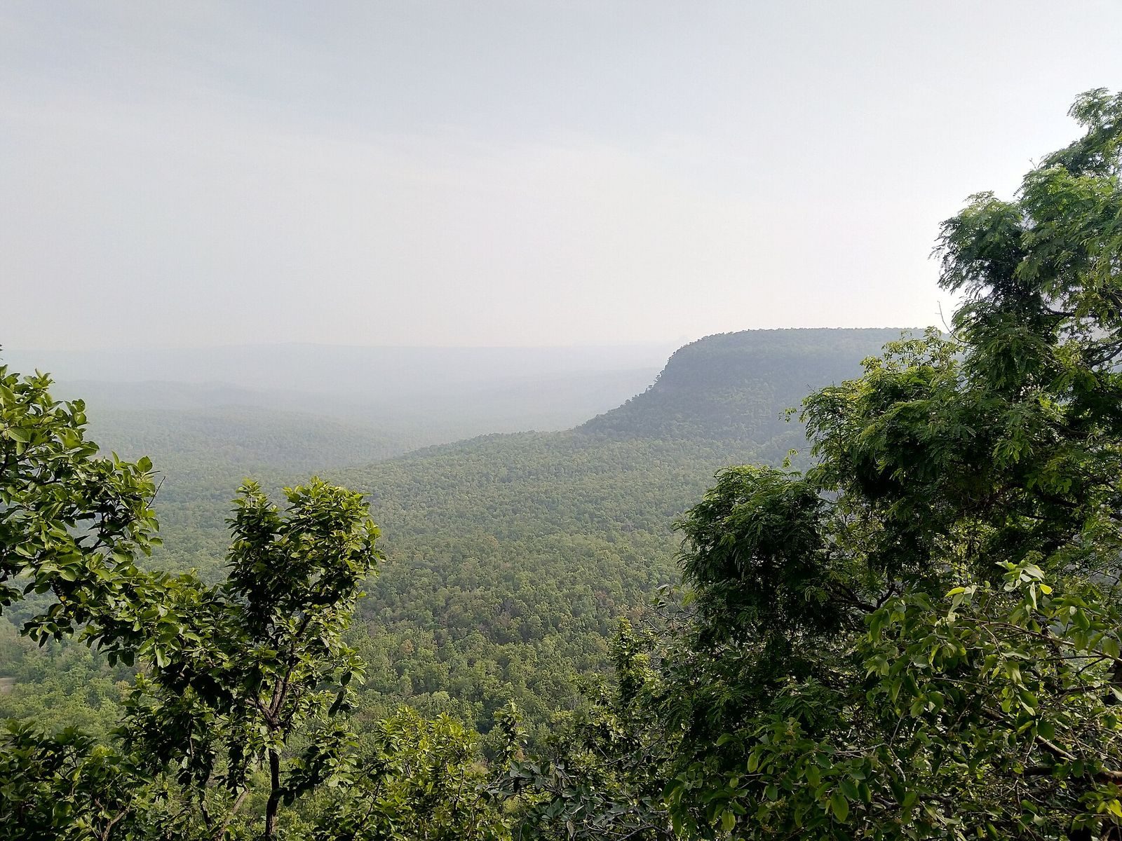
The fort covers a hilltop plateau of about 5 square kilometres in the Satpura Range, at an elevation of roughly 3,060 feet (930 metres), within the Achanakmar-Amarkantak Biosphere Reserve, an area intended to conserve ecosystems alongside human activity. Steep cliffs, described as 200–300 feet high, provide natural defenses, while narrow passes give access to the plateau. Built walls occur in some places. The site also includes ponds, temples, and caves.
Fortifications and entrances
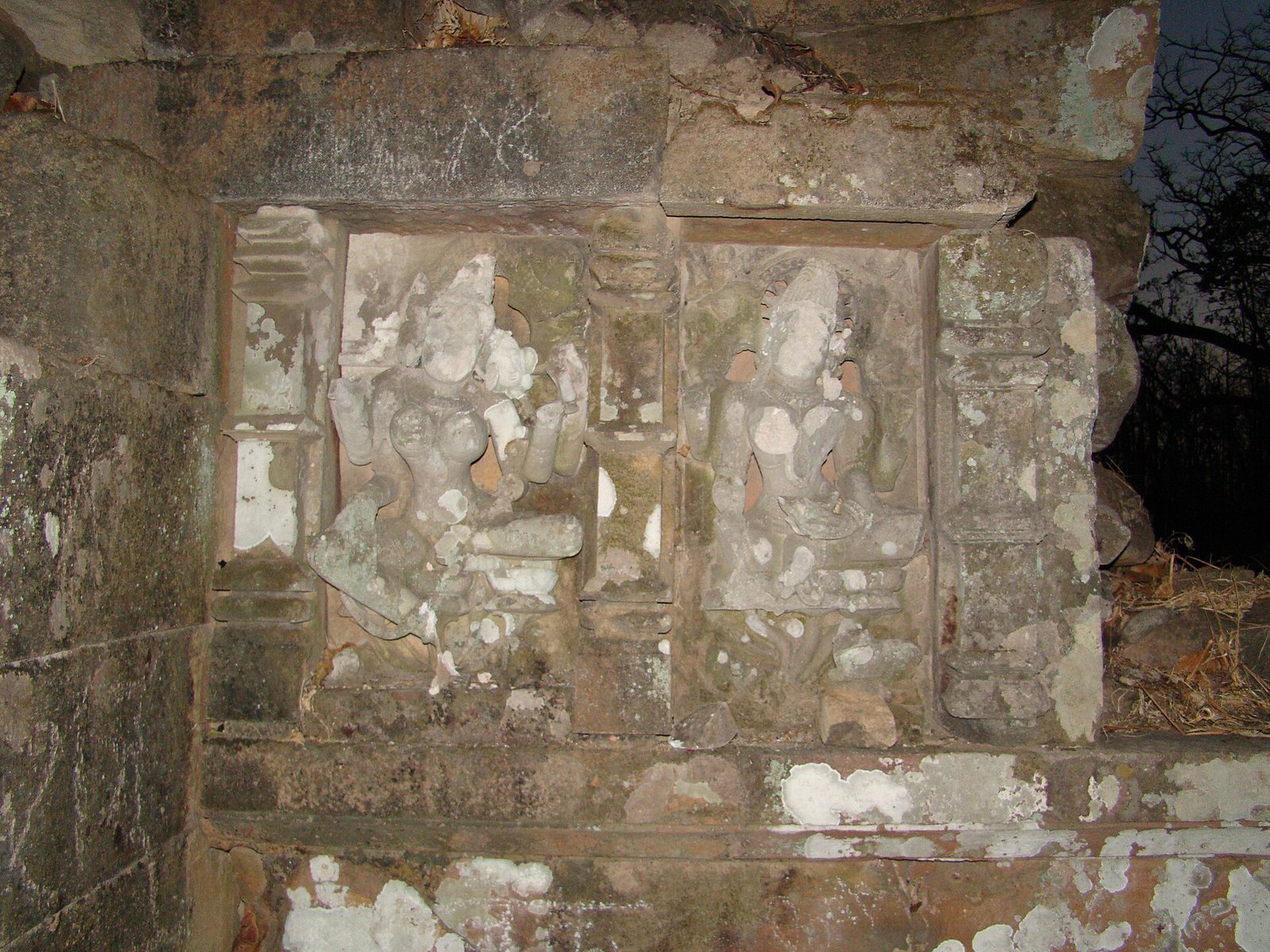
Three principal entrances are named Menaka, Humkara, and Simhadwar. Beglar referred to at least three gates as Jhandi, also called Dinda, Manka Dai, and Hukra. He described columned halls and religious sculptures at the gates, including figures associated with traditions centered on Shiva and the Goddess.
Temples and caves
Mahishasur Mardini Temple
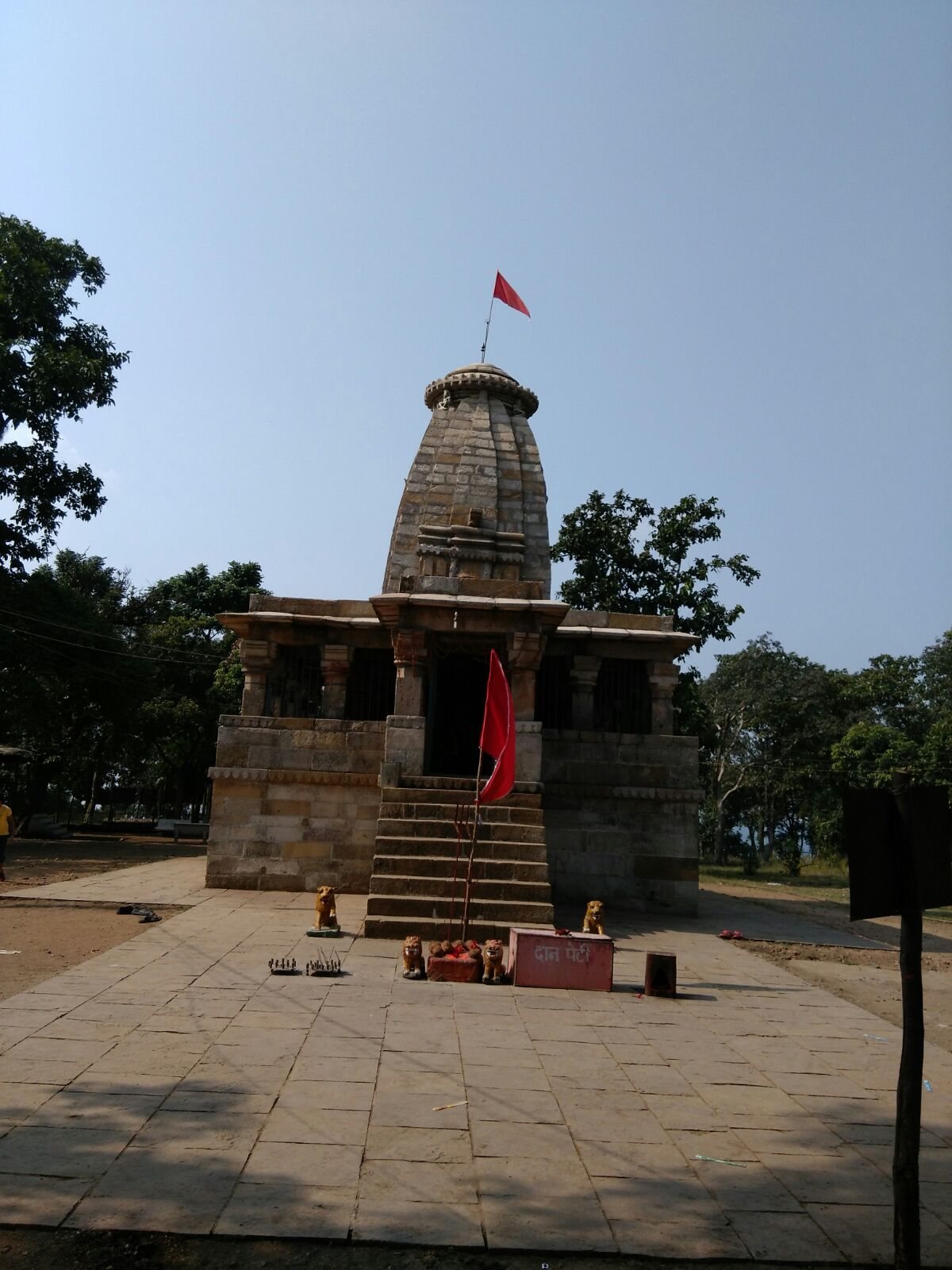
The temple’s innermost shrine contains an image of Mahishasur Mardini with twelve arms.
Temple near Singh Dwar
Beglar described a temple near Singh Dwar with an image of Durga defeating Mahishasura. He also mentioned inscriptions said to have been found near this temple.
Shankar Cave
Shankar Cave lies about 3 kilometres from the temple. It forms a narrow, tunnel-like passage approximately 25 feet (7.6 metres) long, which is entered by crawling.