Petroglyph National Monument: A Protected Rock-Art Landscape in Albuquerque
Site at a Glance
- Popularity
- High
- Country
- United States
- Primary era
- Medieval
- Eras represented
- Iron Age, Medieval, Early Modern
- Civilizations
- Ancestral Puebloan
- Site type
- Civic
- Remains
- Rock Art
On this page8 sections
History
Petroglyph National Monument is a protected cultural and natural landscape on Albuquerque’s West Mesa in the United States. Authorized on June 27, 1990, it was established to safeguard cultural and natural resources while allowing recreational use. The National Park Service and the City of Albuquerque jointly manage the monument.
Carving traditions and Pueblo communities
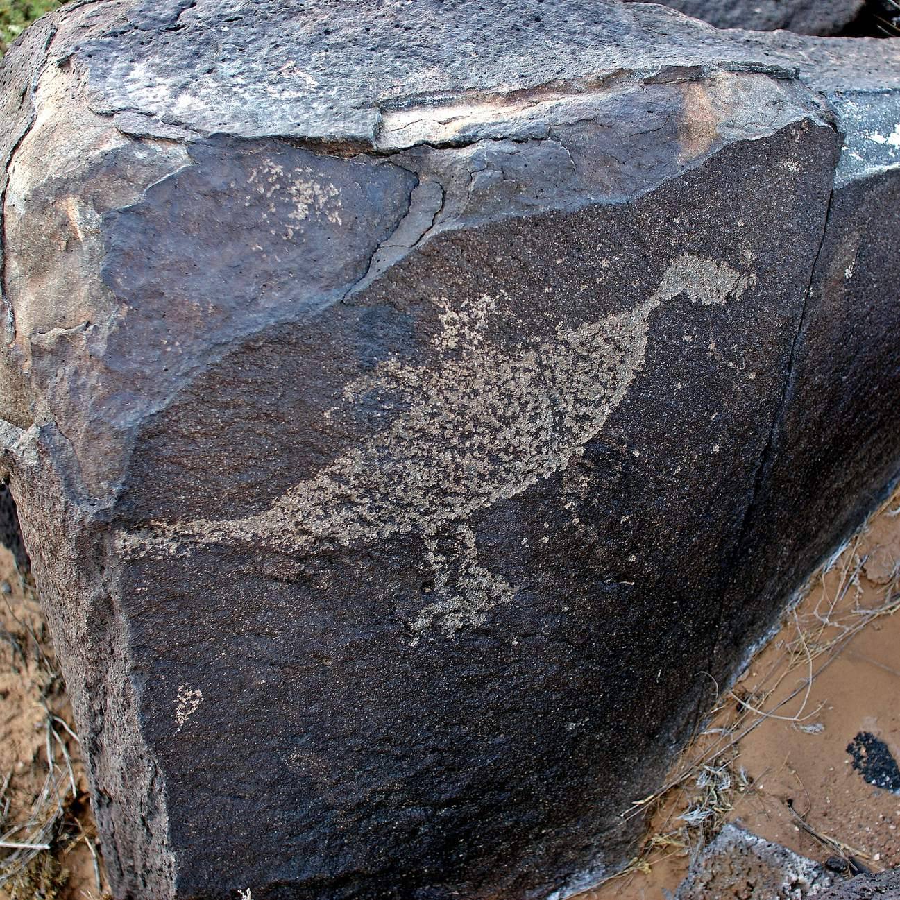
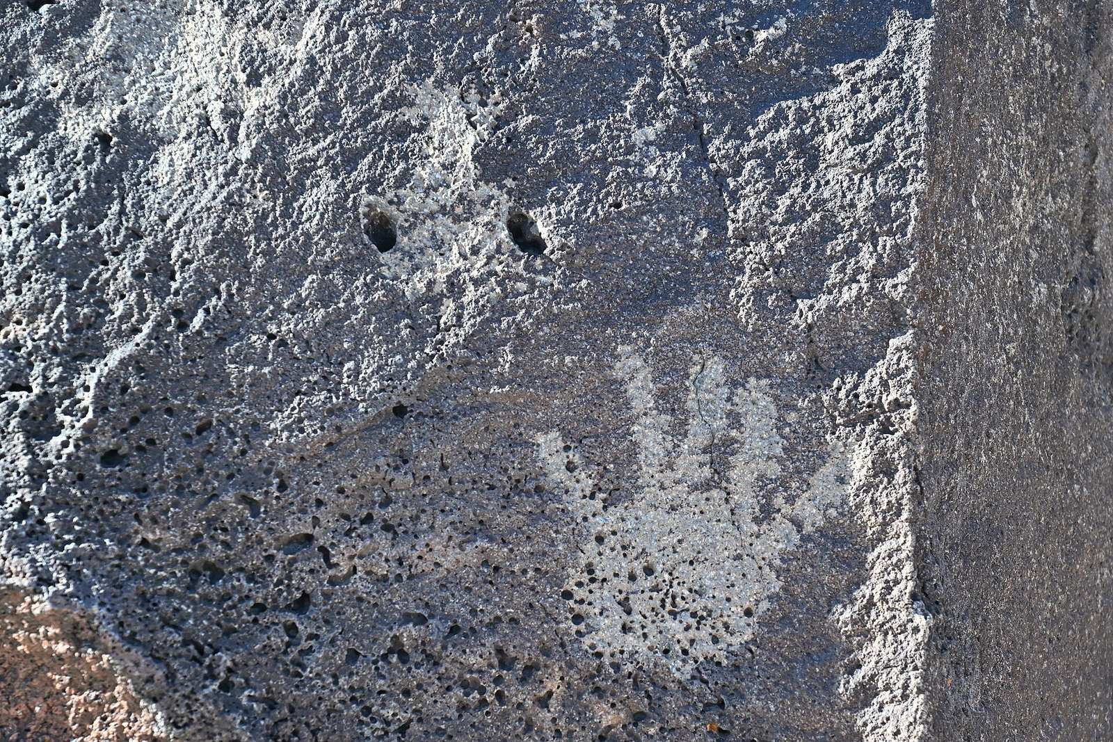
Its petroglyphs, images carved or pecked into rock, were made by Ancestral Pueblo peoples, Indigenous communities ancestral to today’s Pueblo peoples, and early Spanish settlers. Some carvings, particularly in Boca Negra Canyon, are dated to about 3,000 years ago; estimates for the earliest reach back several thousand years. An estimated 90 percent were made between AD 1300 and the late 17th century, during a regional rock-imagery tradition known as the Southwestern Style.
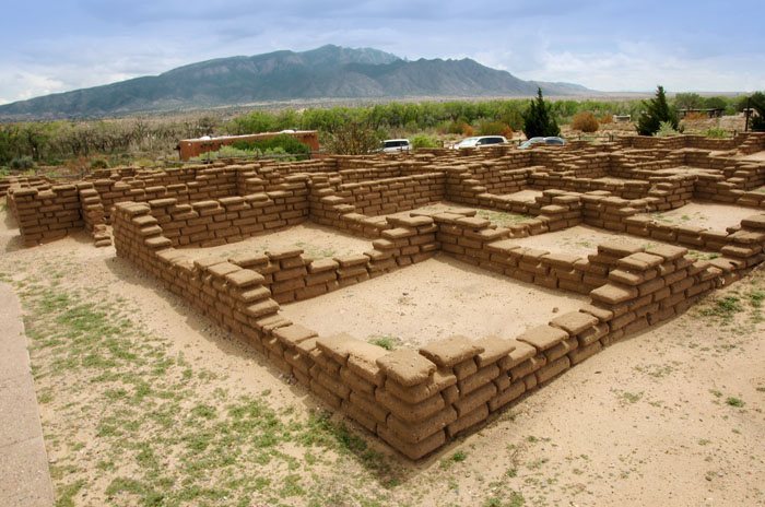
During that period, Indigenous populations grew rapidly, and Pueblo adobe villages were built along the Rio Grande and at the base of the Sandia Mountains. The carvings hold cultural importance for Pueblo peoples and neighboring Native communities. Their meanings are complex and may have been understood only by their makers; some images may have served traditional ceremonial purposes.
The stupa and federal land
A Tibetan Buddhist stupa, a Buddhist monument, was built and consecrated on private land in 1989. The National Park Service later acquired the property through eminent domain, the government’s power to take private land for public use, over the owners’ objections, and included it in the monument. Other buildings on the property were demolished, while the stupa remained at first. In 2010, the Park Service said it had no plans to remove it. In September 2012, the Department of the Interior’s solicitor general concluded that the stupa’s presence on federal land violated the Establishment Clause, the First Amendment provision concerning government establishment of religion. The Park Service arranged for a Tibetan Buddhist spiritual leader to remove its consecrated status, then moved it about 15 miles away to a location selected by the local Buddhist community.
Road construction and joint management
Albuquerque completed a four-lane highway through the monument despite legal opposition from the Native-founded SAGE Council, the Sierra Club, and the National Trust for Historic Preservation. Nine petroglyphs were relocated for the project.
A five-year cooperative agreement divided management responsibilities between the City and the National Park Service. The City did not permit Park Service rangers to patrol or enforce federal park rules on city-owned land, which makes up most of the monument. City service cuts left much of the area without patrols. In 2011, a Park Service regional director said no comprehensive agreement allowed enforcement of federal park regulations on city property. The following year, Public Employees for Environmental Responsibility alleged that this management gap put historic resources at risk. The agreement was later renewed, and as of 2025 the City and Park Service continued to share jurisdiction.
Remains
Volcanic landscape
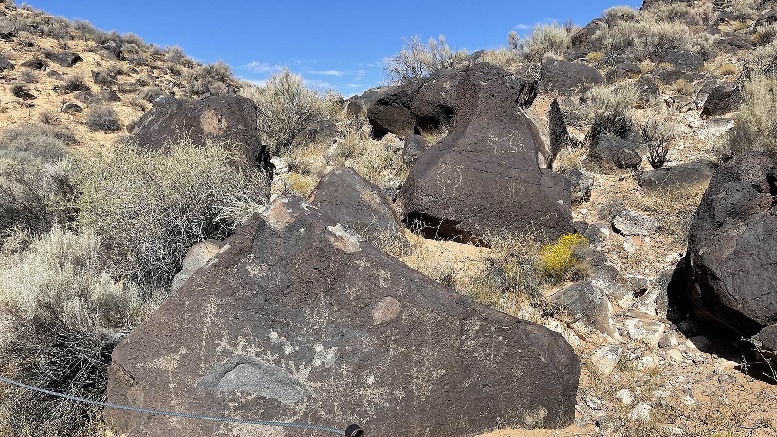
The monument covers about 29 square kilometres and extends roughly 27 kilometres along Albuquerque’s West Mesa, a volcanic basalt escarpment that shapes the city’s western horizon. Six eruptions about 200,000 years ago produced a basalt cliff around 17 miles long. Lava flows, approximately 5 to 50 feet deep, followed older watercourses and formed triangular, peninsula-shaped channels around hills. Over time, the hills eroded while the more resistant basalt remained, fractured, and formed canyons and escarpments. Later eruptions created volcanic cones; the last is dated to about 150,000 years ago. Five cones lie along the monument’s western boundary: Butte, Bond, Vulcan, Black, and JA. The four major visitor areas are Boca Negra Canyon, Rinconada Canyon, Piedras Marcadas Canyon, and the Volcano Day Use trails.
Petroglyphs
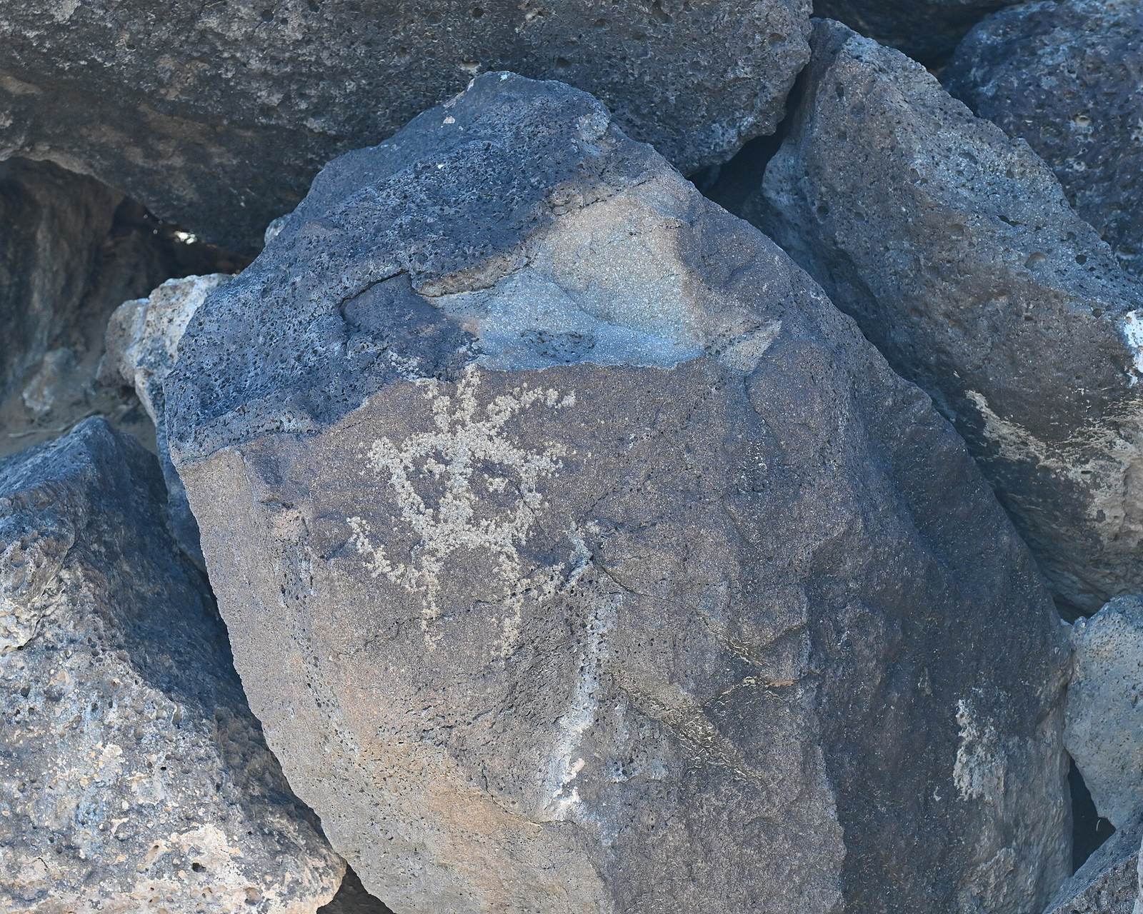
The monument contains hundreds of archaeological sites and an estimated 20,000 to 25,000 petroglyphs, commonly counted at about 24,000. The basalt is naturally gray and contains iron, manganese, and calcium. Exposure to air and rainwater oxidizes iron and manganese, forming a dark, glossy surface coating called desert varnish. Carvers chipped through this layer with rocks and other tools to reveal the lighter stone beneath.
Many images show animals, people, livestock brands, or crosses, while others have more complex forms. Archaeologists estimate their relative ages by considering how dark the carved surface is, the archaeological context, and comparisons with images of similar age.
Wildlife
Two millipede species occur only within the protected area. Orthoporus ornatus is brown-black, while Comanchelus chihuanus is dark gray and considered very rare. Several kinds of snakes also live in the monument. Most are nocturnal and harmless, but two rattlesnake species, Crotalus atrox and Crotalus viridis, are venomous.