Fort Mandan: Lewis and Clark’s 1804–1805 Winter Encampment
Site at a Glance
- Popularity
- High
- Country
- United States
- Primary era
- Modern
- Eras represented
- Modern
- Civilizations
- Unclassified
- Site type
- Military
- Remains
- Fort
On this page7 sections
History
Fort Mandan was the winter encampment built by the Lewis and Clark Expedition on the Missouri River in what is now North Dakota, United States, in autumn 1804. Named for the Mandan people, it served as the expedition’s base until spring 1805. Construction was complete by November 27.
Construction and the winter stay
The expedition remained at the fort through a bitterly cold winter, with temperatures at times dropping to about −45 °F (−43 °C). The shelter helped protect its occupants, although several men suffered frostbite after brief exposure to the cold. Guards remained on watch day and night against possible attacks by Sioux or other hostile Indigenous groups. During their stay, expedition members repaired equipment, made clothing, and prepared dried meat for the journey ahead.
Diplomacy among Mandan and Hidatsa villages
President Thomas Jefferson had instructed Meriwether Lewis and William Clark to seek friendly relations with Indigenous nations and prepare them for U.S. traders. Their orders also called for asserting U.S. territorial sovereignty over lands Indigenous peoples had occupied for thousands of years, despite different Indigenous and European-American ideas about land use and ownership. After the Teton, a Lakota people within the broader Sioux peoples, resisted the expedition, Lewis and Clark tried to build an alliance among the Arikara, Hidatsa, and Mandan against them. The Mandan received the Americans cautiously and did not agree to abandon their existing trade with Great Britain through Canadian traders. The Hidatsa often avoided meetings and strongly opposed the Americans’ diplomatic efforts.
René Jussome, a French-Canadian trader who had lived in nearby villages for years, helped the expedition adjust to local customs. With his assistance, the Americans developed trading relations with Indigenous people, took part in ceremonies, and joined social connections between Hidatsa and Mandan villages. The expedition also hired Toussaint Charbonneau, a fur trader living among the Mandan, as a guide and interpreter; he served as a Hidatsa interpreter. Lewis and Clark appear to have first met Sacagawea, a Shoshone woman accompanying the expedition, at the fort, where she apparently lived with Charbonneau. Their son, Jean Baptiste Charbonneau, was born on February 11, 1805, possibly there.
Westward preparations and return
As the expedition prepared to travel beyond the Mandan villages, it entered territory unfamiliar to Europeans in the information available to them. Mandan chief Sheheke gave Clark information about the route west, which he used to prepare a preliminary map. Lewis and Clark also compiled descriptions of Missouri River tributaries, observations about Indigenous nations they had met, and notes on collected plants and minerals in a manuscript called the Mandan Miscellany. In spring 1805, they sent a copy to government officials in St. Louis aboard the expedition’s keelboat, a river vessel for carrying people and cargo.
The expedition left the fort and continued west on April 7, 1805. When its members returned east in August 1806, they found the fort burned to the ground. The cause of the fire is unknown.
Remains
The original encampment
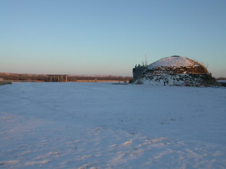
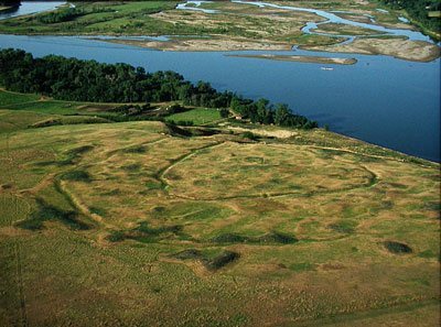
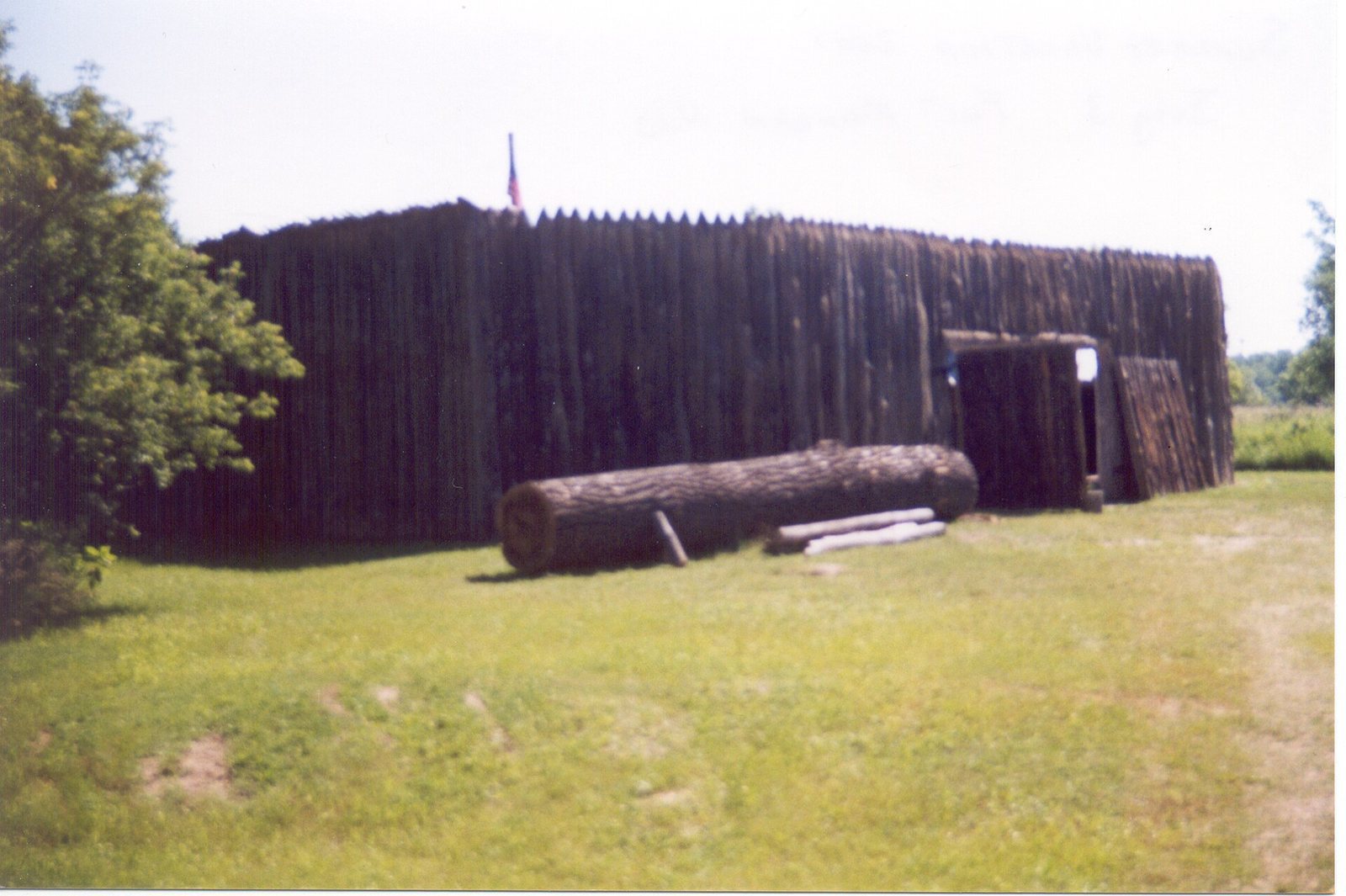
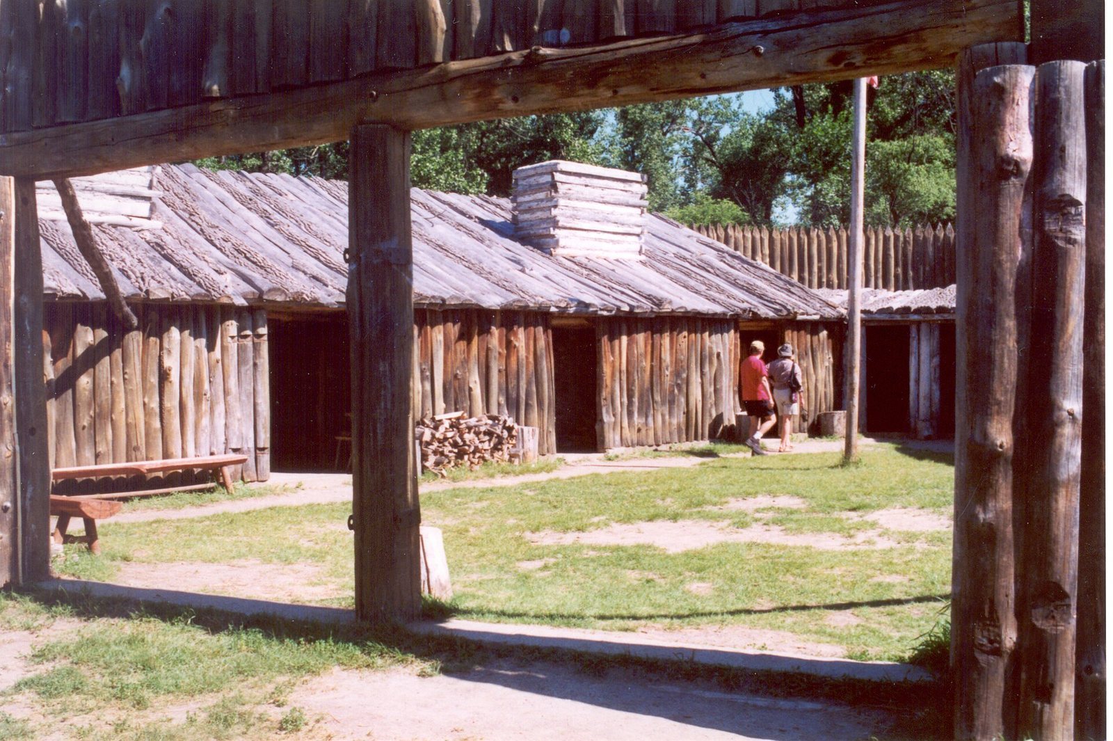
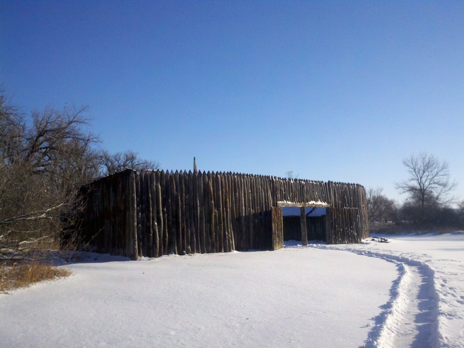
Built of cottonwood cut along the riverbanks, the fort had a triangular plan, high walls on every side, and an open area between its buildings. Its gate faced the Missouri. Inside were eight rooms, including two for storage, and Lewis and Clark shared one room. A palisade, a defensive barrier of upright stakes more than five metres high, protected the river-facing rear of the structure. The encampment stood about 12 miles (19 km) from present-day Washburn and slightly downstream from five Mandan and Hidatsa villages. The Missouri River has since shifted east and eroded the bank; the precise location of the original fort is uncertain and is believed to lie beneath the river.
The replica
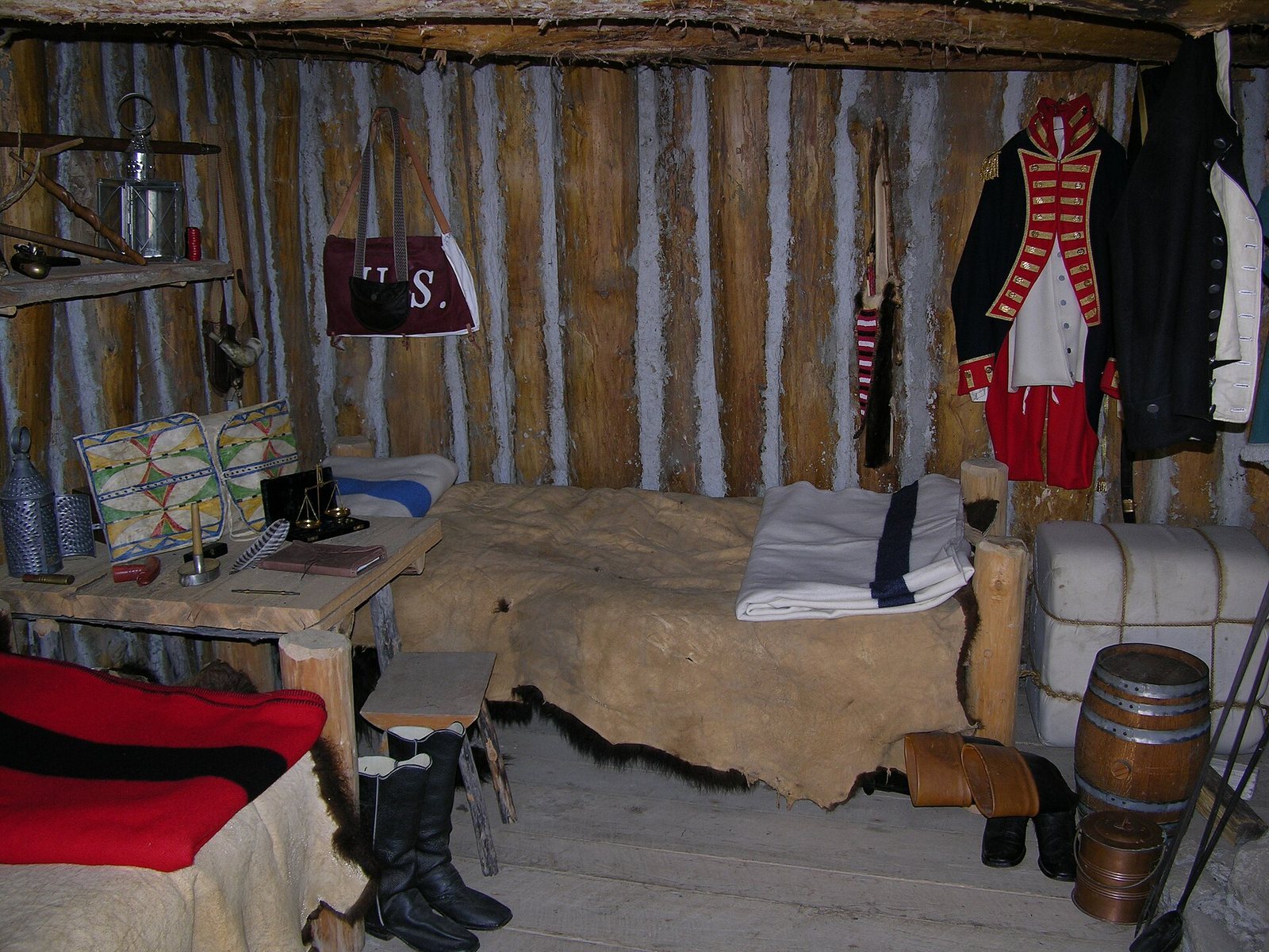
The Lewis and Clark Fort Mandan Foundation built a replica near the original location, beside the river and near the North Dakota Lewis and Clark Interpretive Center. It stands about 2.5 miles (4 km) from the junction of ND 200A and U.S. Route 83. Its design follows descriptions in the expedition journals. Reproductions inside include a field desk associated with Lewis, Clark’s mapmaking tools, the men’s bunks, expedition equipment and clothing, and a blacksmith’s forge.