Hirugami Kurumazuka Kofun: A Late Kofun-Period Burial Mound in Takatsuki
Site at a Glance
- Popularity
- Low
- Country
- Japan
- Primary era
- Classical
- Eras represented
- Classical
- Civilizations
- Yamato
- Site type
- Burial
- Remains
- Burial Mound
On this page8 sections
History
Hirugami Kurumazuka Kofun is a monumental burial mound in Takatsuki, Osaka Prefecture, Japan, built during the late Kofun period, an era of mound-burial construction, probably around the middle of the sixth century. An early-sixth-century date has also been proposed. It was the last kofun built in the Mishima region and is considered in comparison with the earlier tomb of a great king at Imashirozuka Kofun.
Construction and proposed occupant
The person buried in the mound is unknown. One theory identifies the occupant as a local leader of Mishima mentioned in 532 in the Nihon Shoki, an early Japanese historical chronicle.
Shrine and local traditions
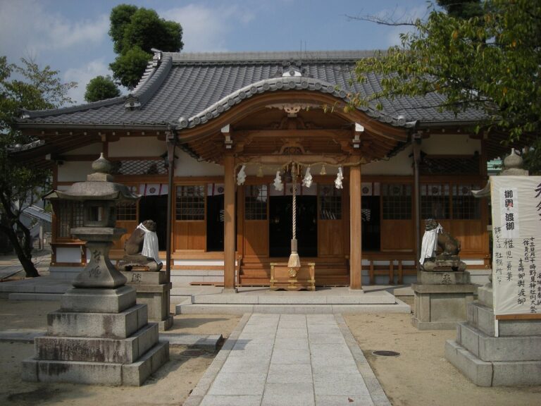
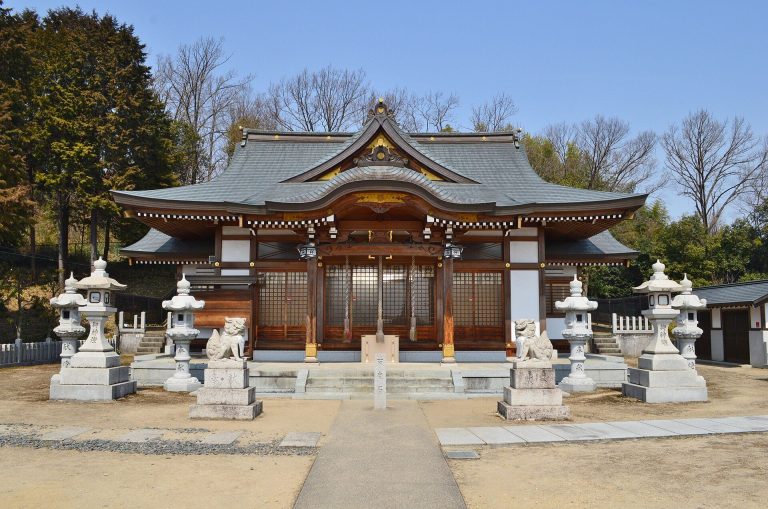
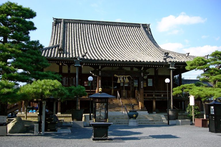
The first element of the site’s name comes from a local place-name. “Kurumazuka” is associated with a tradition that Sugawara no Michizane’s carriage was buried there. Michizane was a scholar and court official who was later revered as a deity. Uegami Tenmangu, a shrine dedicated to Michizane, was established on the hill at a later date, and the mound has long been within its precinct. A subsidiary shrine there is thought to take its name from Nomi no Sukune, traditionally regarded as the ancestor of the Haji clan, which was associated with mound construction. This connection has prompted a theory that the Haji clan settled locally. An illustrated guide from the late Edo period also depicts the mound.
Road construction and investigation
Plans for a prefectural road raised concern about the mound in 1968. A survey followed in 1969, and three excavations took place between 1975 and 1978, mainly under Takatsuki’s education authorities and an investigation committee. Construction proceeded after part of the mound’s front section was cut away. That section was restored in 1979, and the road is now Osaka Prefectural Route 67.
Remains
Mound and setting
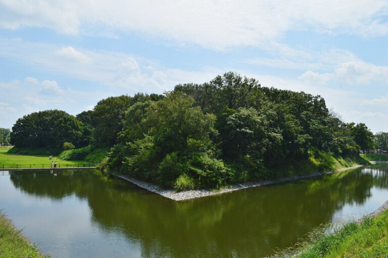
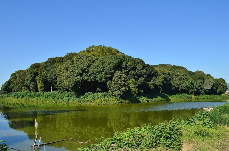
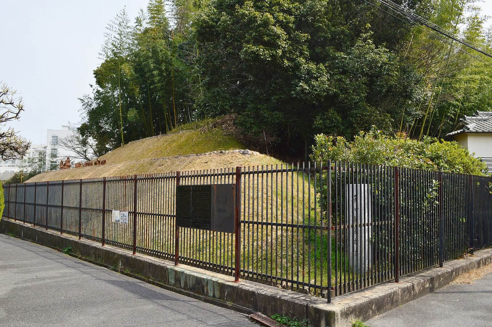
The kofun stands at the southern end of a hill in central Takatsuki. Its keyhole-shaped plan combines a circular rear mound with a projecting front section, which faces north. The mound has three tiers, with what appears to be a fourth on its eastern side. The front section is higher and more developed than the rear mound. Its total length is given as 56 metres in the 1969 survey and 60 metres on a site information board; the board also gives the rear mound’s diameter as 35 metres and the front section’s width as 40 metres. A landslide scar is thought to date from the 1596 Keicho-Fushimi earthquake, a major earthquake in Japan.
Surface features and haniwa
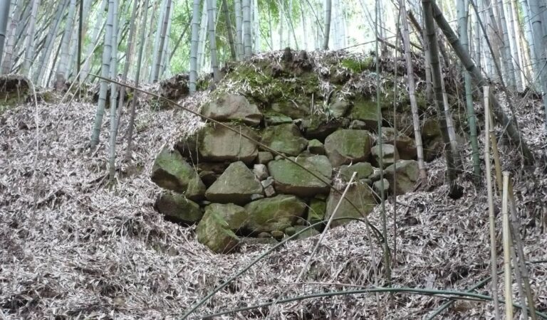
Stones laid over the mound’s surface formed a stone facing, and a moat lies to its west. Fragments of cylindrical and figurative haniwa, clay objects placed on or around burial mounds, have been found on the mound. Two rows of haniwa stood on the middle tier of the front section. The figurative arrangement can be reconstructed as one boar pursued by two dogs, while some cylindrical fragments resemble examples from Imashirozuka Kofun. Excavated objects are displayed at Takatsuki City Imashirozuka Ancient History Museum.
Burial features beneath the mound
A horizontal-entry stone chamber, a burial chamber reached through a passage, is suspected within the rear mound, but the burial facility remains uninvestigated and uncertain. Beneath the kofun lies a square grave surrounded by a ditch, dating to the middle Yayoi period, an earlier era associated with the spread of settled agriculture in Japan.