Kilise Tepe: An Ancient Settlement Mound in Türkiye
Site at a Glance
- Popularity
- Low
- Country
- Turkey
- Primary era
- Bronze Age
- Eras represented
- Bronze Age, Iron Age, Medieval
- Civilizations
- Hittite
- Site type
- City
On this page15 sections
History
Bronze Age and Hittite rule
Kilise Tepe is an ancient settlement mound near Mut in Mersin Province, Türkiye, occupied from the early third millennium BC. During the Hittite Empire, a major Bronze Age state centered in Anatolia, the settlement helped control a route linking central Anatolia with Mediterranean ports. The mound is thought to have been part of Tarḫuntašša, a southern Anatolian political center associated with the relocation of the Hittite capital by King Muwatalli II.
At the end of the thirteenth century BC, attacks attributed to the Sea Peoples, a modern collective name for groups linked to eastern Mediterranean upheavals, burned the settlement. It was rebuilt, then suffered another destruction by the middle of the twelfth century BC. The Stele Building burned around 1170 BC, after the Hittite Empire had collapsed around 1190 BC. This later destruction may have been connected with the successor state of Tarḫuntašša.
Post-Hittite and later occupation
After the empire’s collapse, the inhabitants were probably Luwian-speaking. Kilise Tepe may then have been abandoned or come under the control of small local authorities. Settlement continued during the Iron Age, with the latest evidence of inhabitants consisting of ovens and storage installations from the early seventh century BC.
An occupation gap followed, from the middle Iron Age in the sixth century BC until the Hellenistic period, which began in the fourth century BC. Its cause is uncertain. Possible explanations include the movement of the regional center to Mut, later called Claudiopolis under Roman rule, or activity by the Neo-Assyrian and Neo-Babylonian empires, successive Mesopotamian powers active in the first millennium BC. Settlement resumed during the Hellenistic period, though its precise beginning is unclear. Pottery indicates activity in Hellenistic, Roman, and Byzantine times, but does not establish a Roman-period settlement. Occupation continued into the Byzantine period, the history of the eastern Roman Empire, and into the medieval era.
Identification and excavation
The mound’s original name is unknown. Kilise Tepe means “church hill,” a name referring to the church ruins. Archaeologist James Mellaart reported the site in the 1950s, and David French surveyed it in 1965. Both called it Maltepe, mistakenly using the name of another mound about four kilometres across the river; the error persisted in publications until later excavations distinguished the sites.
A rescue project was launched because the planned Kayraktepe Dam threatened the mound. Survey work began in 1994, followed by excavations through 1998. Excavation resumed in 2007 and continued until 2011, revealing evidence from the settlement’s different periods.
Remains
Mound and early settlement layers
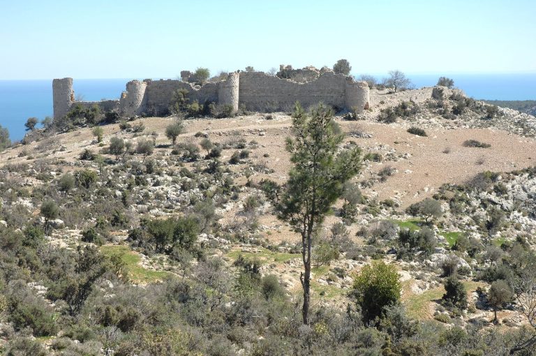
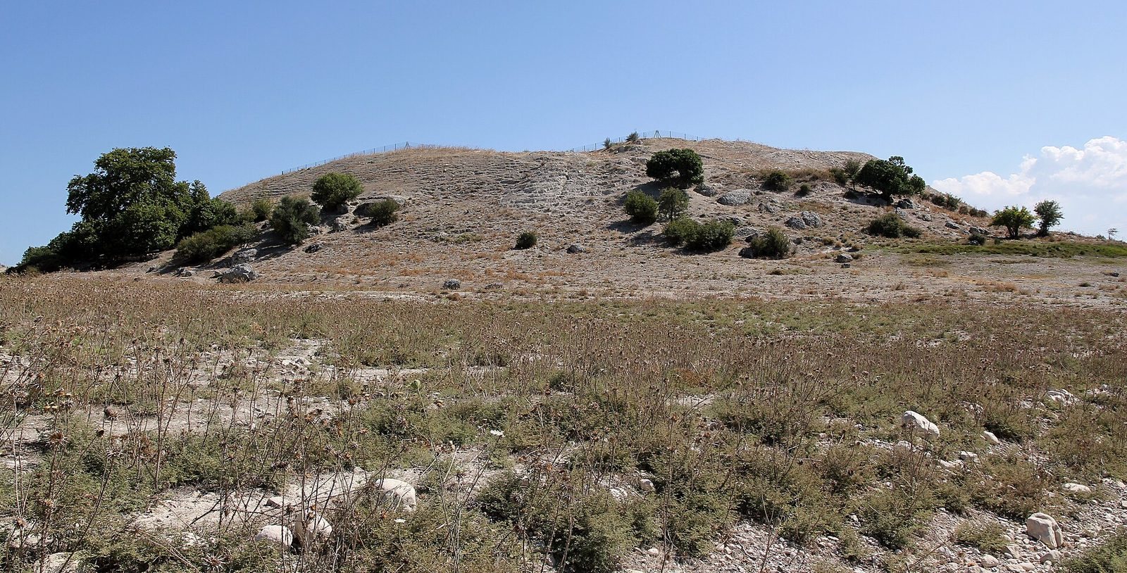
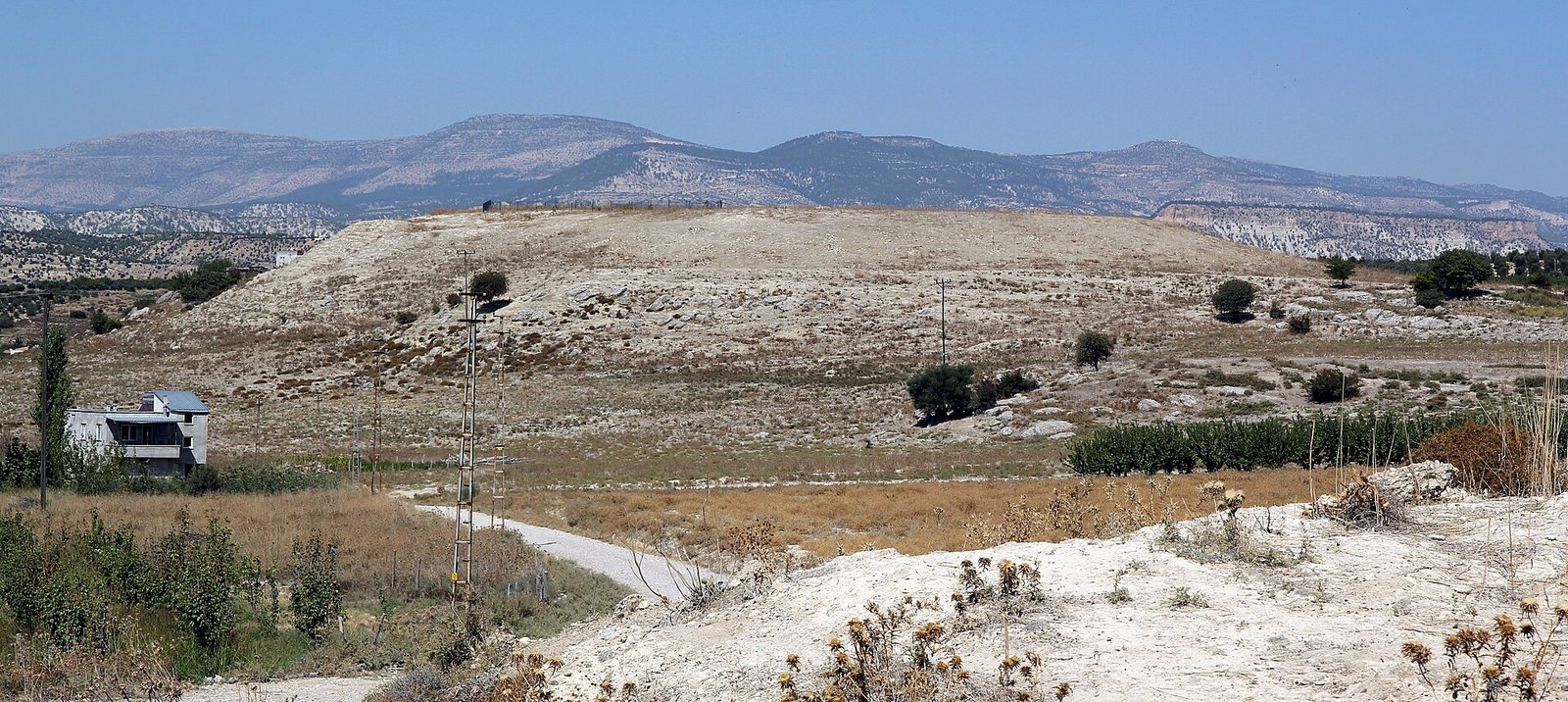
The mound rises about 10 to 12 metres above the surrounding land. Its plateau measures roughly 120 by 100 metres, while the mound extends about 200 metres from north to south; a spring emerges at its northern foot. Excavations identified five main settlement layers, numbered from I at the top to V at the bottom. The oldest, layers V and IV, belong to the early and middle Bronze Age. Layer V contained wall remains, pottery, and a copper earring; layer IV yielded pits, hearths, and pottery.
Late Bronze Age buildings and finds
North-West Building
In layer III, assigned to the Late Bronze and Early Iron Ages, the North-West Building stood in the mound’s northwest area. A stamp seal, an engraved device used to leave a mark, supports its interpretation as an administrative building. Tree-ring analysis of timbers from the Late Bronze Age level dates them to 1380 BC.
Stele Building
The North-West Building was replaced before the Hittite Empire’s collapse by the Stele Building, also interpreted as an administrative center because of seals found there. It measured about 18 by 4 metres and had eight or nine rooms over its successive phases of use. Stone formed the foundations, with wooden beams above and mud-brick walls. The building was renewed several times.
Seals and inscription
Four lens-shaped stamp seals of a type associated with the thirteenth-century-BC Hittite Empire came from layer II. One bears a hieroglyphic inscription naming an official as ‘Tarhunta-piya, the charioteer.’
Underground grain stores
Two underground grain stores were excavated. One was estimated to hold about 35 cubic metres. Such stores were thought capable of keeping a year’s grain for around 100 people and likely served more than one household. They resemble underground Late Bronze Age grain stores at Hattusa, the Hittite capital.
Iron Age and later settlement
In the Iron Age, simpler structures replaced some of the Late Bronze Age houses in the central area, and a round wooden structure stood there for a time. Later physical remains are sparse. Hellenistic, Roman, and Byzantine pottery came from the surface survey and uppermost layer, and the site also contained several residential and economic buildings.
Churches and cemetery
Earlier basilica
The earlier church was a three-aisled basilica, a long building divided into parallel aisles. Side chambers stood beside its apse, the projecting end of the church, and an ambulatory, or passage, ran behind the choir to the east of the apse. An impost block, a projecting block that supports an arch, found with the church is dated by comparison with examples from Constantinople to the late fifth or early sixth century AD.
Later church and cemetery
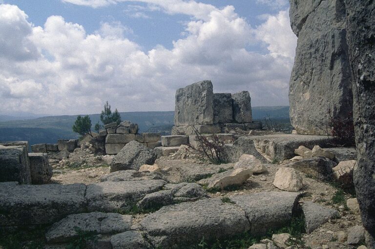
After the basilica was destroyed, a smaller church with a single chamber was built over its eastern part, probably around the eleventh century. A cemetery was associated with this later church. A grave just to its east contained a skeleton radiocarbon-dated to the twelfth or thirteenth century, supporting a medieval date for the surrounding cemetery and probably for the church. The site’s surviving remains are now in ruins.