Yelabuga Hillfort: A Medieval Fortified Settlement in Russia
Site at a Glance
- Popularity
- High
- Country
- Russia
- Primary era
- Medieval
- Eras represented
- Medieval, Modern
- Civilizations
- Russian
- Site type
- Military
- Remains
- Fort
On this page9 sections
History
Yelabuga Hillfort is a fortified settlement near Yelabuga on the Kama River in Russia. Its earliest stated role was as a refuge for a local community during the second half of the first millennium CE. The site is also associated with the Golden Horde, a Mongol khanate that ruled parts of Eastern Europe and western Eurasia.
Volga Bulgarian citadel
The hillfort’s construction is placed in the 10th–11th centuries. Its stone citadel is thought to have been built in the 10th century by a prince of Volga Bulgaria, a medieval state in the Volga-Kama region. The building is interpreted as a mosque-fortress, probably constructed after Volga Bulgaria adopted Islam, and as serving a defensive purpose.
Damage and reconstruction
In 1825, Kazan University professor F. I. Erdman found the tower still standing, while local residents had taken down the rest of the structure to its foundations. The tower collapsed in 1844, leaving a small northern section with an arched doorway and a window above it. At Moscow professor K. Nevostruyev’s request, I. V. Shishkin and his artist son surveyed the site in 1855 and resolved to restore the damaged tower. In 1867, Shishkin, a Yelabuga merchant and the father of painter Ivan Shishkin, began rebuilding it on its old foundation and added an iron roof.
Archaeology and protection
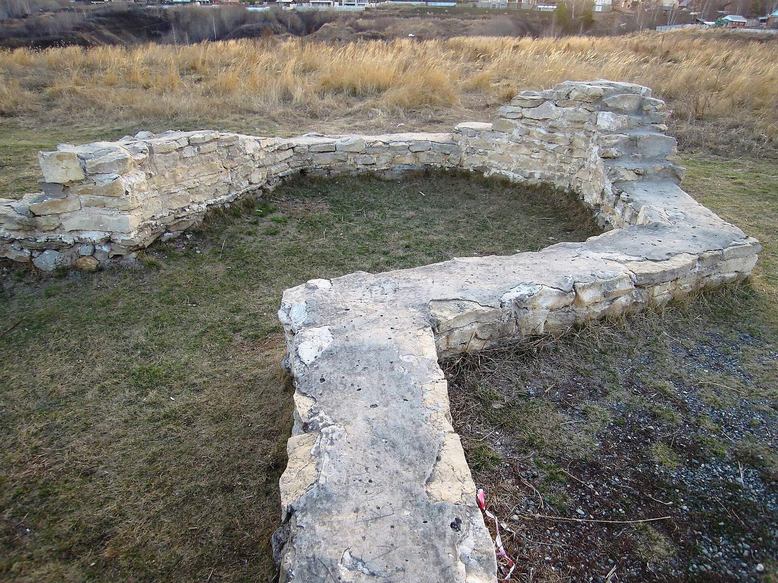
Archaeologist A. Kh. Khalikov’s extensive excavations in 1993 revealed buried remains of a stone building. Work on the tower in 2007 included replacing its roof and cleaning it. The hillfort has federal-level cultural-heritage status and is under UNESCO protection.
Remains
The eastern part of the hillfort contains the remains of a square stone citadel. Its excavated foundations are well preserved and cover about 400 square metres, with sides around 21 metres long. The plan included projecting corner towers and half-towers, partial towers that extend from a fortification wall.
Citadel features
Towers and prayer features
The corner towers are described as reaching up to 6 metres in diameter, while the surviving tower measures about 10 metres across. Three of the half-towers were semicircular; the fourth was triangular and faced Mecca. The southern tower, the largest, served as a lookout along the Kama in both directions. The western tower was hexagonal and formed the base of a minaret, a tower associated with a mosque. A triangular half-tower between the southern and western towers contained a mihrab, a niche marking the direction of prayer.
Surviving tower
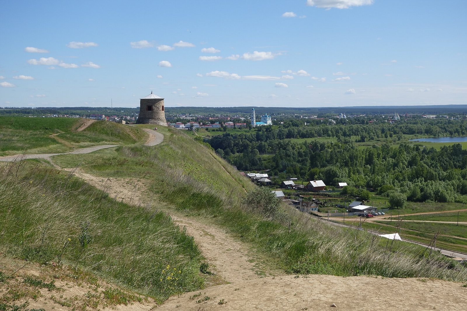
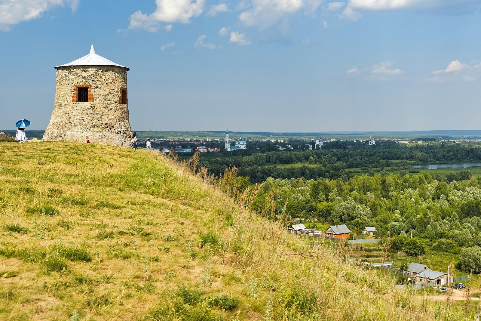
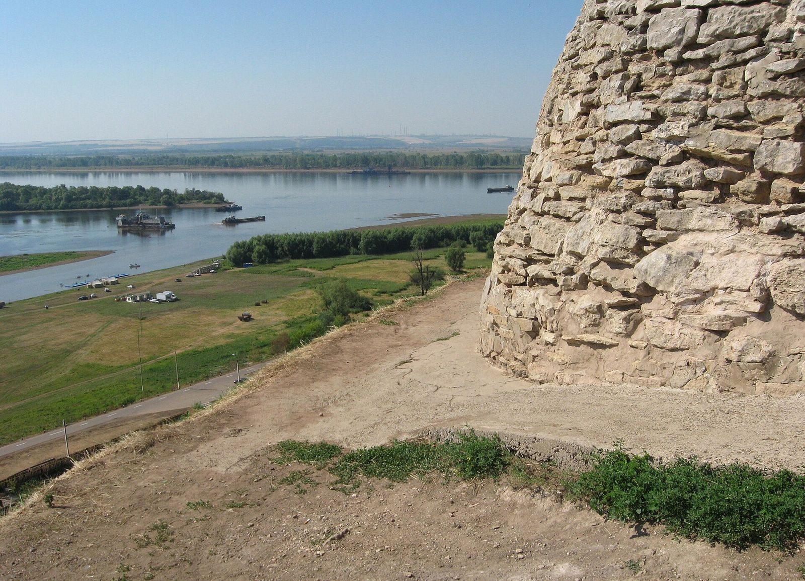
The tower is a hollow stone cylinder with a low, domed metal roof. It stands 7.1 metres high, with an interior diameter of 5.7 metres. Its walls taper from about 2 metres thick at the base to 0.7 metres in the upper half, giving the lower part a conical profile. Rough, unhewn original stones set in lime mortar with alabaster remain on the north side. The 1867 reconstruction added a buttress, changed the upper storey from hexagonal to round, altered the masonry, and fitted four rectangular windows facing the cardinal directions.
Finds
Arrowheads believed to have been used about 1,200 years ago were found on a slope beside the hillfort.