Berezovets Hillfort: A Medieval Fortified Town on Lake Seliger
Site at a Glance
- Popularity
- Low
- Country
- Russia
- Primary era
- Medieval
- Eras represented
- Medieval
- Civilizations
- Novgorod Republic
- Site type
- Military
- Remains
- Fortified Town
On this page8 sections
History
Berezovets Hillfort is the site of a medieval fortified town near Berezovy Ryadok on the eastern shore of Lake Seliger in Russia. Settlement here dates to the ninth century, and by the late twelfth or early thirteenth century Berezovets had become a major town in the Novgorodian lands, the political sphere of Novgorod, a major medieval city in northwestern Rus’.
Novgorodian town and waterway
Berezovets stood at a watershed between the Baltic and Caspian basins. A three-verst portage, an overland link measured in versts, an old Russian unit of distance, connected Lake Seliger with the upper reaches of a river flowing into the Pola and onward to the Ilmen. This route formed a key link in one branch of the Seliger waterway. Berezovets also appears in the medieval List of Russian Cities, Near and Far.
A treaty made in 1440 between Casimir IV, Grand Duke of Lithuania, and Novgorod stipulated that Casimir was to receive one and a half rubles and 20 martens from Berezovets.
Moscow’s rule and the town’s decline
In the second half of the fifteenth century, Ivan III, Grand Prince of Moscow, took the weakened fortress along with other Novgorodian lands. A cadastral register, a survey of landholdings and taxable households, lists 44 taxable households at Berezovets, as well as a priest, a deacon, and a church watchman.
Under Moscow’s rule, the Seliger waterway became less important, and the fortress declined. Its decline accelerated during the Polish-Lithuanian military intervention in the Time of Troubles, a period of political instability and conflict in early seventeenth-century Russia. The fortress was destroyed in the seventeenth century. By 1620 the Berezovets pogost, a church-centered local settlement or administrative unit, was empty.
Archaeological interpretation
Excavations led by Soviet archaeologist S. A. Tarakanova from 1938 to 1940 produced the interpretation that Marfa Boretskaya, a prominent Novgorodian political figure, had an estate at Berezovets, established over an earlier settlement.
Remains
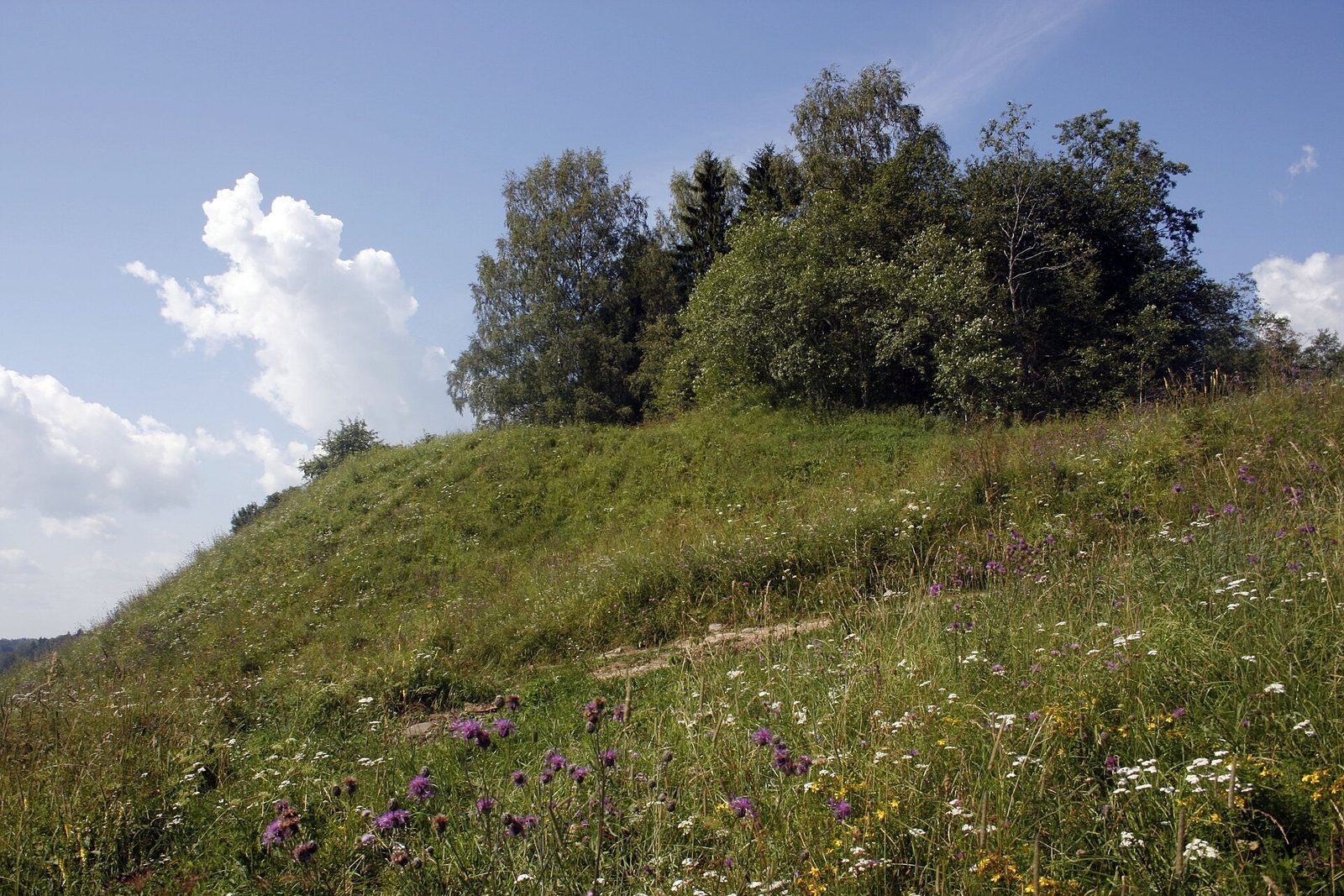
The hillfort occupies a high hill beside the eastern shore of the Berezovsky reach of Lake Seliger. Its egg-shaped summit covers 0.22 hectares, with steep slopes rising up to 9–14 metres and a level top. In antiquity, lake water washed the hill on three sides. A rampart followed the summit’s edge.
Summit and rampart
Access to the summit is up the eastern slope, and a cemetery occupies the level top. The rampart was built from large boulders, clay, and sand, reinforced with wood. Its construction belongs to the Novgorodian period. Finds in the occupation layer beneath it, including a fourteenth-century bronze bracelet, support this dating.
Occupation layer and finds
Excavations revealed an occupation layer about one metre thick. Finds include handmade Slavic pottery and pottery associated with burial-mound contexts. Remains of an above-ground dwelling included a stone stove; other objects included fragments of window mica, knives, keys, fishing hooks, net weights, and slate spindle whorls, small weights used in hand spinning.
Church and courtyard
A cadastral record places a church dedicated to the Nativity of the Virgin and a large courtyard at the hillfort. It also assigns church land within the settlement.