Fortaleza El Coyotepe: A Nicaraguan Fortress, Prison, and Scout Center
Site at a Glance
- Rating
- 4.3
- Popularity
- Medium
- Country
- Nicaragua
- Primary era
- Modern
- Eras represented
- Modern
- Civilizations
- Unclassified
- Site type
- Military
- Remains
- Fort
On this page12 sections
History
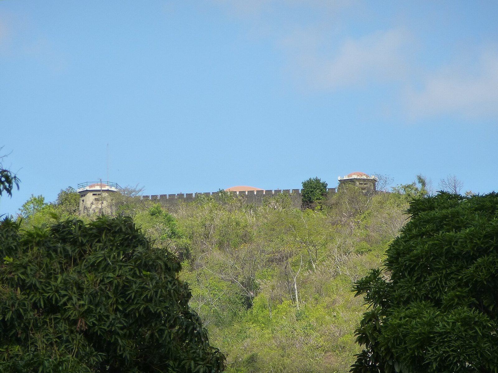
Fortaleza El Coyotepe is a Neoclassical fortress on the summit of Coyotepe, about two kilometres north of Masaya, Nicaragua. Nicaraguan engineers built it between 1929 and 1933 as a lookout over the railway linking Managua, Masaya, and Granada. The hill had already been a strategic position in earlier conflicts, but the fortress itself was not built in the nineteenth century.
The hill before the fortress
The name Coyotepe comes from Nahuatl, a language spoken by the Nahua peoples chiefly in Mexico. It combines words for “coyote” and “hill” or “mountain.” Oral tradition associates the name with the coyote dens once common on the hill.
In 1888, Masaya mayor Rafael Zurita granted a concession for a drinking-water system for the city. The works drew water from the Río Grande de Ticuantepe, now dry, and carried it through a 26-kilometre metal pipeline to a reservoir on Coyotepe’s slope. The reservoir stood 218 metres below the source and held 2,728 cubic metres of water.
Coyotepe and nearby La Barranca commanded the railway corridor and saw fighting during successive periods of conflict. In 1893, liberal revolutionaries led by José Santos Zelaya defeated conservative forces under Joaquín Zavala, head of the governing junta. During the 1912 U.S. intervention in Nicaragua, Colonel Isidoro Díaz Flores and the allied liberal-conservative army under General Benjamín Zeledón defended the hills. Fighting occurred on October 3 and 4. Zeledón, Nicaragua’s defense minister, was killed in a brief skirmish after the battle. His body was mistreated and displayed along roads in Niquinohomo and Catarina.
At a 1913 ceremony honoring U.S. Marines killed in the fighting, officer Joseph Henry Pendleton described Coyotepe’s summit as filled with trenches but without buildings. The fortress was constructed later.
Somoza-era imprisonment and military use
After revolutionary leader Augusto C. Sandino was assassinated in 1934 on the orders of Anastasio Somoza García, the fortress was used to imprison ordinary offenders and torture political prisoners. Somoza García had the complex further developed as a barracks from 1936. Following an attempted coup in April 1954, the Somoza family again used it as a prison and a site of torture. Diego Manuel Chamorro and Francisco Frixione Saravia were among those held there.
From 1958 to 1961, mercenaries trained at the fortress in preparation for the Bay of Pigs invasion, a failed 1961 attempt by Cuban exiles backed by the United States to invade Cuba. In 1964, President René Schick Gutiérrez transferred the fortress and 52 manzanas of land to the Association of Scouts of Nicaragua. A manzana is a traditional Central American unit of land area whose size varies. The National Congress declared the hill and fortress Cultural Heritage and a Historic Monument in 1967.
Revolution and later reuse
After the December 1972 earthquake that devastated Managua, the fortress and Scout camp provided shelter for hundreds of people displaced by the disaster. From 1975 to 1979, Anastasio Somoza Debayle used the fortress again to imprison political opponents. Torture and deaths took place there. During the Sandinista National Liberation Front’s final offensive in 1979, the National Guard bombed neighborhoods in Masaya. After the revolution, about 800 prisoners were released, while the Sandinistas continued to use the fortress as a prison until 1983.
That year, the complex passed to the Association of Sandinista Children. During the 1980s it became a recreation center with play and sports areas, a camping ground, and a museum. In 1992, President Violeta Barrios de Chamorro returned the Scout camp to the Association of Scouts of Nicaragua. Years of neglect had left it in very poor condition; Nicaraguan Scouts maintain the complex.
Remains
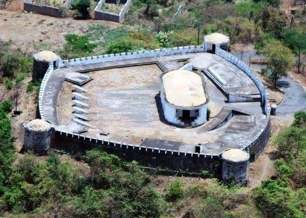
The fortress occupies the summit of Coyotepe in the Masaya Caldera, a large volcanic depression generally formed when a volcano collapses after an eruption. The hill rises to about 370 metres, while the fortress stands at roughly 360 metres above sea level. Its perimeter measures 235 metres.
Fortress layout and setting
Buildings and construction
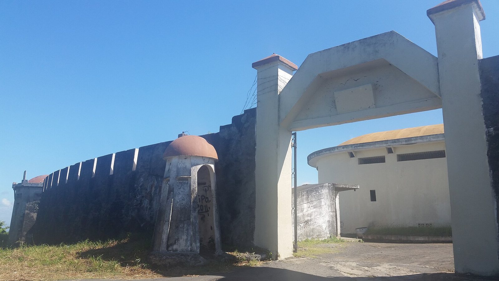
The design resembles a fortress of the Spanish Crown and draws on Neoclassical forms associated with ancient Greek and Roman architecture. Towers and domes form the complex, including a central dome and a tower at the northern corner.
Railway cutting
A railway cutting was made and later deepened through Coyotepe. The portion separated from the hill is known as Loma La Barranca, a name referring to a ravine or narrow pass.
Views from the towers and domes
Views from the towers and domes take in Masaya, Masaya Lagoon, the volcanic complex, Mombacho Volcano, and the heights of El Crucero. From the northern corner tower, the view includes Masaya Volcano and Managua, with the Chiltepe Peninsula, Apoyeque Volcano, and Lake Xolotlán behind them. From the eastern corner, it extends across the Charco de Tisma area and the Malacatoya plains to part of Lake Nicaragua. Part of the Chontaleña mountain range is visible to the south.
Central dome and underground rooms
Museum in the central dome
The central dome, once an office for the National Guard stationed at the fortress, now houses a museum commemorating Benjamín Zeledón and other combatants killed in 1912. Its displays include historical photographs of Zeledón and Coyotepe, along with fragments of Zeledón’s letters.
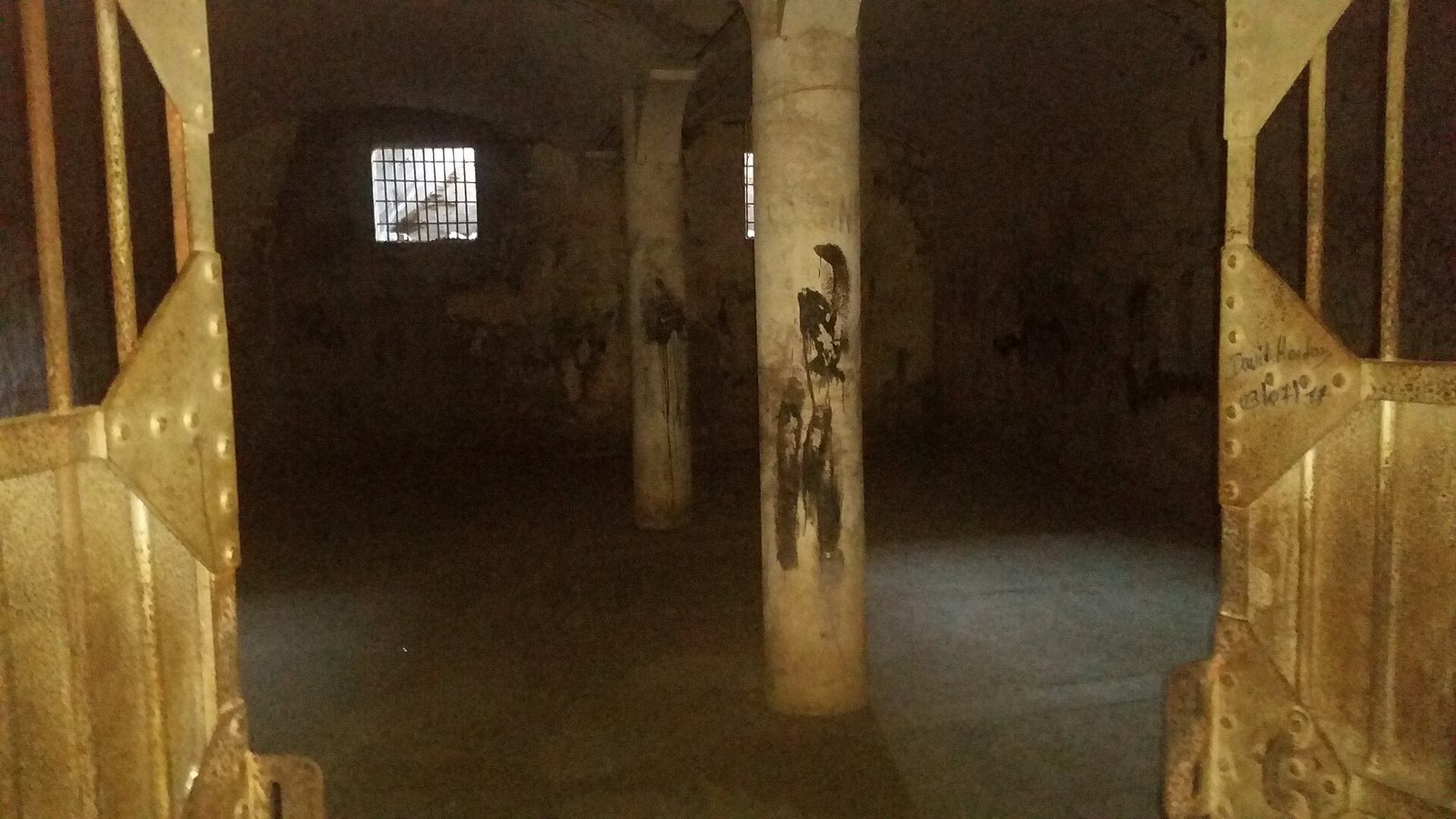
Dungeons
The fortress’s dungeons are dark rooms without sunlight. Graffiti on their walls dates from the 1990s.