Schenkensee Castle Site: A Medieval Mound Castle in Germany
Site at a Glance
- Popularity
- Very Low
- Country
- Germany
- Primary era
- Medieval
- Eras represented
- Medieval, Early Modern
- Civilizations
- Holy Roman Empire
- Site type
- Military
- Remains
- Castle
On this page7 sections
History
The Schenkensee Castle Site is a medieval lowland mound castle in Germany, southeast of Markertshofen in the Schenkenbach valley. Its form suggests it was built in the 12th or 13th century. It may have been held by ministeriales, members of a medieval service elite who served powerful lords, associated with Ellwangen Abbey, a religious institution with land and political authority.
Medieval references and later names
Fourteenth-century land registers call the castle Neukottspiel, suggesting a connection with the local lords of Kottspiel and their water castle there. The relationship between the sites is uncertain. An older interpretation, now considered unlikely, identified Schenkensee as the lords’ original seat, supposedly renamed Altkottspiel after they built a new castle at Kottspiel.
The castle name first appears in 1419, in a record of landholding obligations involving citizens of Schwäbisch Hall. The record concerns Count Albrecht of Hohenlohe, a member of a southwestern German noble house, confiscating several properties, including the castle site. Since the lords of Kottspiel had settled in Schwäbisch Hall by the late 14th century, the properties may have belonged to them.
In 1495, Kraft of Hohenlohe sold woodland called Neukottspiel to the hospital in Schwäbisch Hall. A 1522 record gives the woodland a name combining Old and New Kottspiel, Meylandt Alt und Neu Kotspuhel. By 1717 it was called the hospital forest of alt Cothspühl, or Old Kottspiel. Eighteenth-century maps label the mound Kotzbühel and the woodland Hallisch Spital Holtz der Alte Kotzbühl, meaning the Hall hospital woodland of Old Kotzbühl. These successive names reflect the gradual change from Neukottspiel to Altkottspiel.
Remains
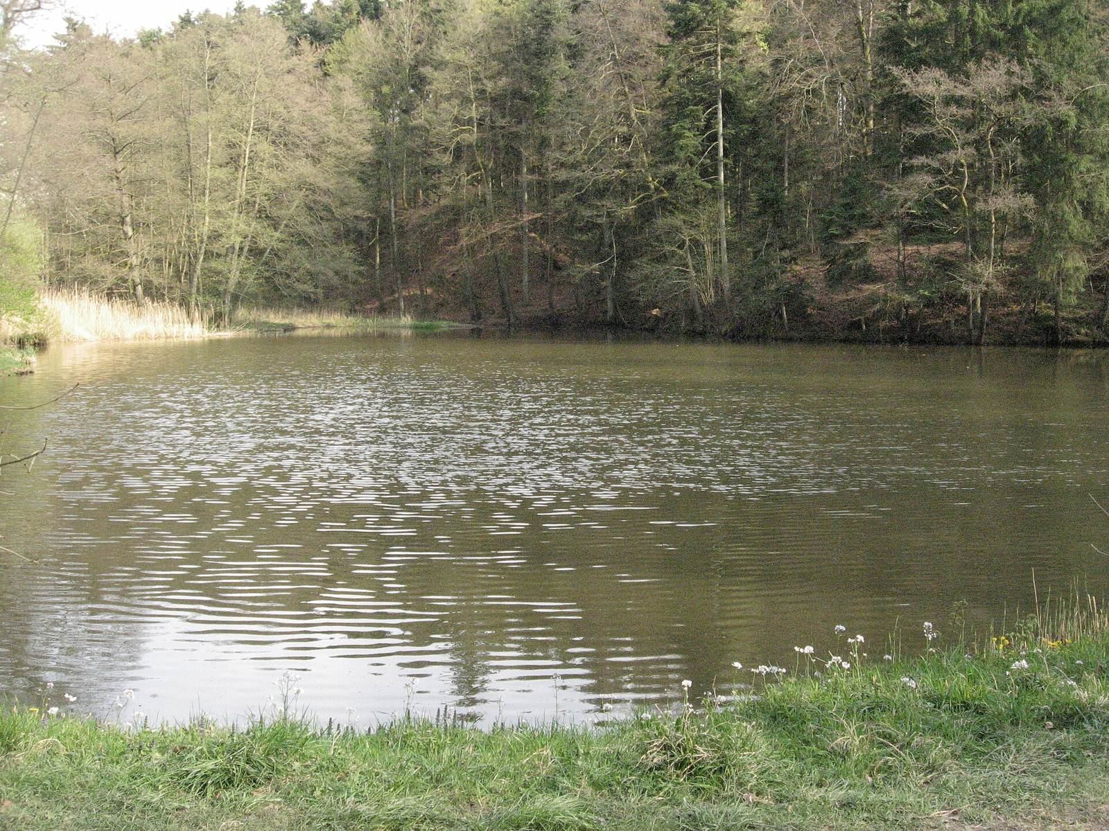
The castle lies at the southern edge of the eastern, upper of the two surviving Schenkensee ponds. Its layout centers on a rectangular mound enclosed by ditches. The brook’s marshy lowland naturally protected the valley-facing side; the pond now occupies that ground, obscuring the former defenses. To the south, the Schiedberg overlooks the site, where additional protection was needed.
Earthworks and water features
Outer enclosure
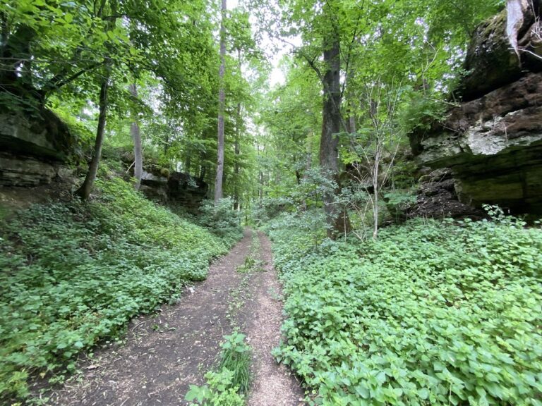
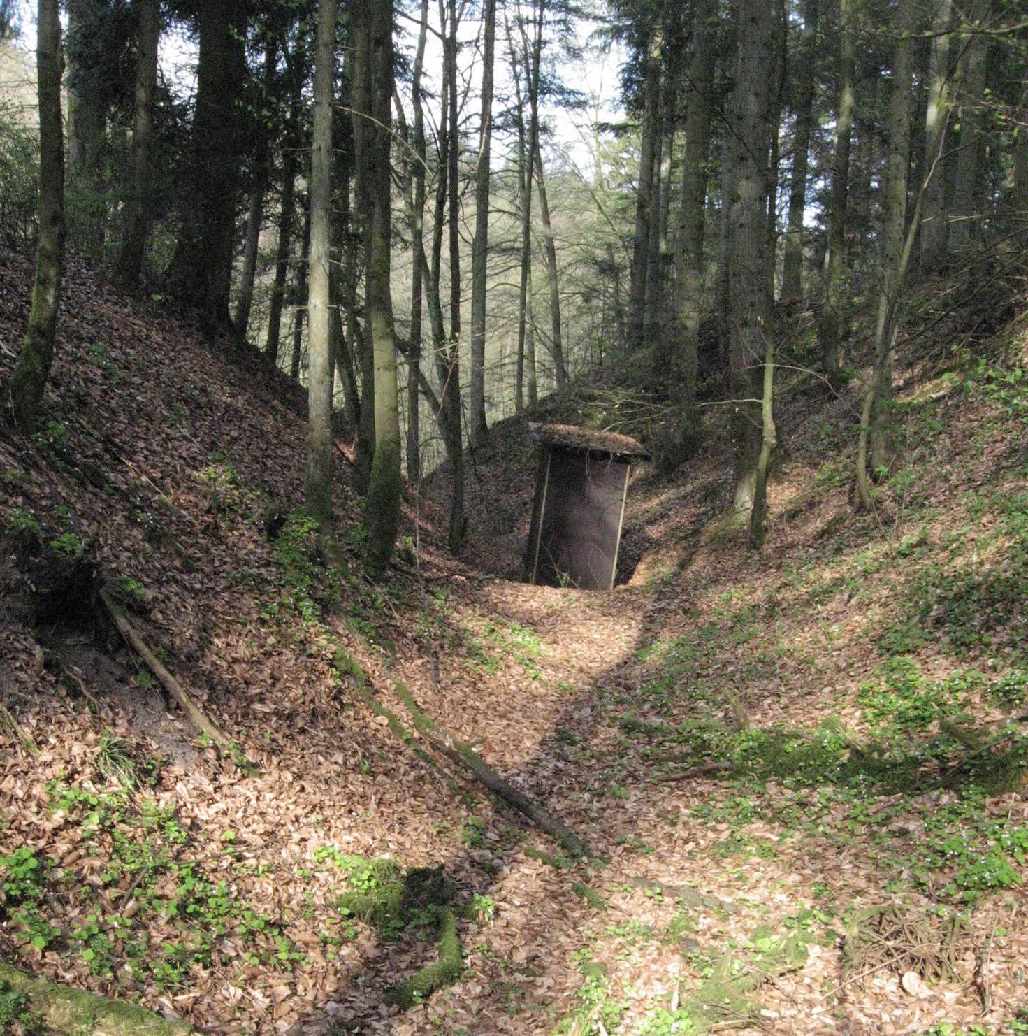
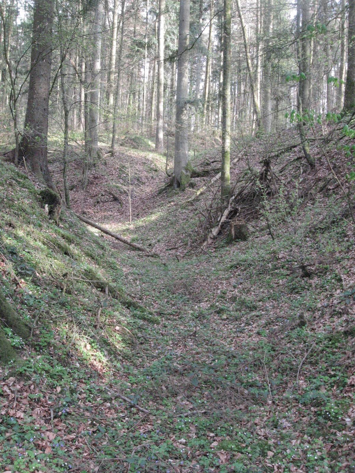
An angular, flat-bottomed ditch surrounds a crescent-shaped area that slopes gently north and was probably an outer bailey, an enclosed area beyond the main castle mound. Its western end, beside the pond, is greatly flattened. After about 17 metres, a forest track interrupts the ditch, which continues for 94 metres to the southeast. The ditch floor is about 3 metres wide and gradually narrows. Its outer side is 3 to 3.5 metres deep; its inner side is about 2.5 metres deep, with an earthen bank rising to 1.2 metres. At the southern end, another forest track crosses the ditch into the enclosure. The ditch then turns north and reaches the pond after about 60 metres.
Central mound and inner ditch
A second ditch follows a roughly semicircular course around the central mound, ending in the pond at both ends. It is cut into Reed Sandstone, a sandstone layer in southern Germany’s Triassic rock sequence. The outer slope is nearly vertical and about 7 metres high; the slope toward the mound rises 3 to 4 metres. The rectangular mound measures about 27 metres from north to south and 20 metres across. It slopes gently north, where it ends in a 6-metre drop to the pond.
Ponds and dam
The two surviving ponds were probably made as fishponds in the second half of the 16th century; four ponds had previously occupied the area. A pierced dam, more than 2 metres high, stands in the wet woodland between the surviving ponds.