Hakobavank: An Armenian Apostolic Monastery in Artsakh
Site at a Glance
- Popularity
- Low
- Country
- Azerbaijan
- Primary era
- Medieval
- Eras represented
- Classical, Medieval, Early Modern
- Civilizations
- Armenian
- Site type
- Religious
- Remains
- Monastery
On this page13 sections
History
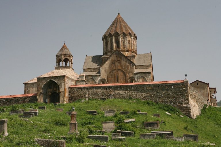
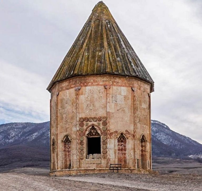
Hakobavank is an Armenian Apostolic monastery in the historic district of Mets Arank, also called Lower Khachen, in Artsakh, about 1.5 km north of Kolatak and in territory controlled by Azerbaijan. The Armenian Apostolic Church is the historic Christian church of the Armenian people. Hakobavank’s foundation is uncertain, though its beginnings are broadly placed in the fifth to seventh centuries. It is associated with the Artsakh Diocese of that church.
Origins and medieval development
The monastery’s earliest securely dated evidence is an inscription from 853. Building activity began by the ninth century, possibly as early as the seventh, and continued through the late eighteenth century. Hakobavank had reached a broad final form by the eleventh and twelfth centuries, although most surviving structures date to the twelfth and thirteenth centuries. A manuscript record credits Vakhtang and Khorishah, the parents of Hasan-Jalal, a medieval Armenian prince of Khachen, with building the church. Another manuscript account attributes its rebuilding in the twelfth century to Khorishah.
A major rebuilding took place in 1212. During the thirteenth century, Hakobavank drew pilgrims from eastern Armenian communities and served as a cultural, educational, and manuscript center for Khachen. It was an episcopal seat and at times a catholicosal seat, meaning a base for a senior head of an Armenian church. In the fourteenth century, it became the deaconry of Mets Arank, an ecclesiastical administrative district.
Later use and repair
The monastery underwent repairs in the seventeenth and eighteenth centuries. In 1725, a residential building was added to the east side of the southern church. Hakobavank takes its name from Jacob of Nisibis, an early Christian missionary and saint venerated in Armenian tradition. His right hand was kept at the monastery as a relic until the nineteenth century. A renovation project began in 2022.
Remains
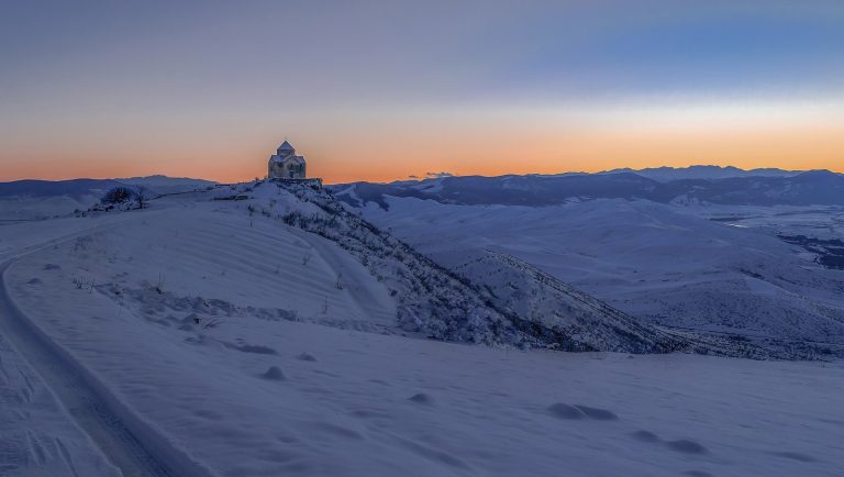
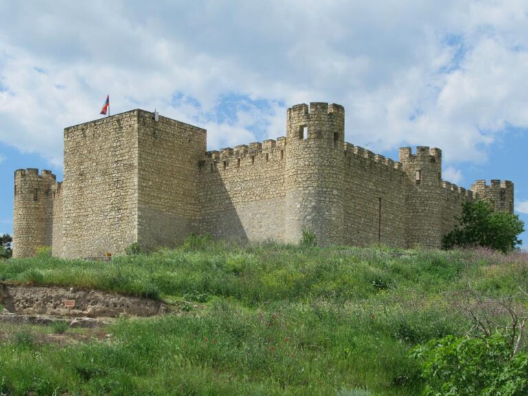
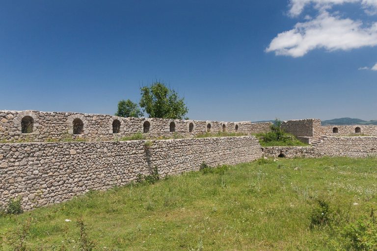
The monastery occupies a wooded mountain spur, with Natarin Fortress on its summit. A monastery spring lies in the forest to the northwest, while a mineral spring known as Sour Water is at the hill’s foot near Tblghu village. The walled complex includes churches, connected halls, residences, and service buildings. Its buildings are generally made of roughly dressed stone; smaller elements, including carved stones, door and window surrounds, arches, and altar fronts, received finer workmanship.
Churches and connected halls
The two churches and their adjoining halls form the central group of the complex. A three-arched open hall fronts the west side of the earliest church, while a second church extends along the hall’s north side. A narthex, an entrance hall also used for gathering and burial, connects with the smaller church through a corridor.
Earliest church
The earliest church is an elongated rectangular hall measuring 7.80 by 3.20 m, with one principal worship space. Its altar platform stands unusually high and is reached by steps on the south side. Four square cells, each 1.30 m on a side, are set behind the north wall. They are described as hermit cells and may also have served as concealed chambers. The eastern cell is entered from beneath the main altar, a feature that accounts for the raised platform.
Northern church
The second church is a rectangular, single-space building measuring 8.00 by 3.40 m. An altar recess occupies its east end, and the interior is undivided. Its south doorway opens onto the three-arched hall, while an opening to the west connects it with the narthex. An inscription on the lintel above the south entrance dates to 1293.
Three-arched hall
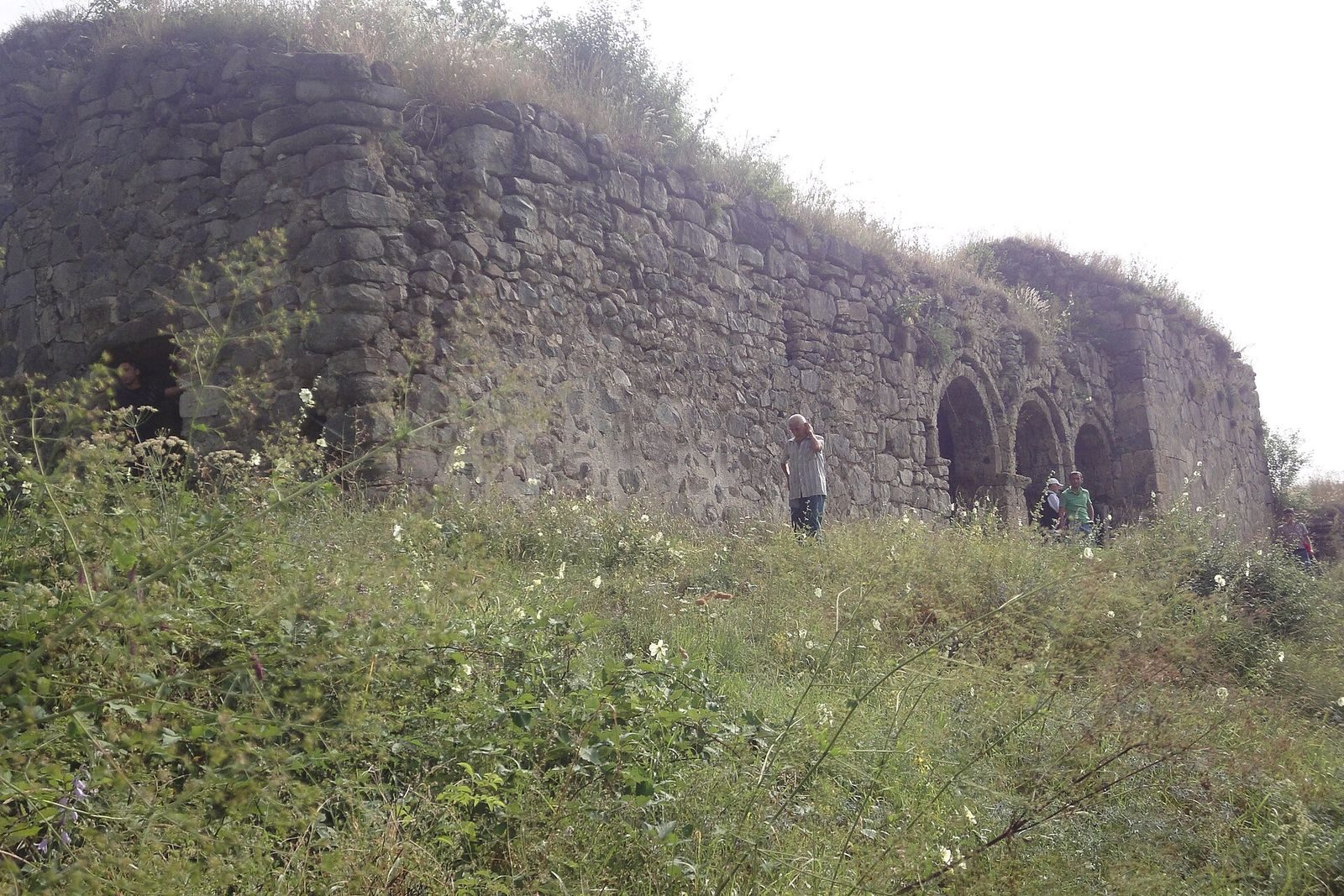
The open-fronted hall reaches the same height as the churches and frames the west front of the earliest church. Two finely dressed stone columns support arches that link the columns to each other and to the surrounding walls. The arrangement has been compared with halls at Dadivank and Tatev.
Narthex and corridor
The narthex is an uncolumned room measuring 7.00 by 7.60 m, with a ceiling formed by intersecting vaults. Shallow projections shape its north and south interior walls. A broad opening faces east; another entrance is in the southwest, and three windows are set into the south and west walls. Its solid north wall also forms part of the precinct boundary. The 2.5 m corridor linking the hall to the smaller church extended the prayer space for ceremonies, while the hall served as a meeting and burial place.
The narthex and three-arched hall contain cross-stones, Armenian carved monuments centered on a cross, as well as inscribed slabs and tombstones, some more than 2 m long. Two prominent cross-stones flank the narthex: the one beside the north wall dates to 1223 and the one on the south side to 1224. Four more carved and inscribed cross-stones are built into the sides of the corridor’s western window. A cross-stone inscription is set into a narthex wall, and a pedestal from another cross-stone was later reused as masonry in a church wall. Reused tombstones, cross-stones set into ceilings, and inscribed dressed stones at building corners also form part of the complex. The cross-stones are pink, the tombstones gray, the walls bluish, and the inscribed slabs cream-colored; a sundial is carved into light-orange stone.
Walled precinct and service buildings
The walled precinct contained rooms for copying manuscripts, a library for parchment books, heated residences, hermit cells with balconies over a precipice, and facilities for communal life and work. These included a refectory and kitchen, a sesame-oil press, storehouses, stables, guard posts, water reservoirs, and ovens.
Monks’ residences
The monks’ residences stand on lower ground east of the churches. Inscriptions and stylistic features place them in the seventeenth and eighteenth centuries. Their rooms are arranged around a shared corridor. Groups of two-storey rooms also flank the main gate, and some remain substantially intact. From the gate, a corridor runs for more than 10 m beneath vaulted buildings.
Refectory and gate area
The refectory stood opposite the residential corridor in the southeast corner of the perimeter wall. It has collapsed, but its side walls survive. Its south entrance also served as a secondary gate.
Condition
The buildings survive in varied condition. Some remain standing or partly intact, while others have collapsed or lie beneath earth and rubble. Walls are cracked, roofs and vaulted ceilings have sagged or partly fallen, and vegetation covers some structures. Floors have collapsed in places, and wall plaster has fallen away.