Anastasiopolis: A Fortified Settlement in Greece
Site at a Glance
- Popularity
- Medium
- Country
- Greece
- Primary era
- Medieval
- Eras represented
- Classical, Medieval
- Civilizations
- Byzantine
- Site type
- City
On this page9 sections
History
Anastasiopolis is a fortified settlement in Greece associated with the ancient city of Anastasioupolis, dated from the fifth through ninth centuries. The city stood in fertile land north of Lake Vistonida and served as an Aegean port connected to the sea through the lake. It also lay beside the Via Egnatia, a major Roman road across the Balkans. Peritheorion, a name first recorded in the ninth century, may have been a later name for Anastasioupolis or a separate city; their relationship remains unresolved.
Early foundations and defenses
A Roman road station in the area was called Stabulum Diomedis, or “Diomedes’ Stable.” Local legend said that Diomedes’ horses grazed in the region before the hero Heracles tamed them.
Anastasius I, emperor of the Byzantine Empire, the medieval continuation of the Roman Empire ruled from Constantinople, probably founded the city or ordered substantial building work there. Its establishment may have been connected with his settlement of Isaurians, a people from Isauria in Asia Minor, in Thrace in 498, after his victory over them.
Procopius of Caesarea, a sixth-century Byzantine historian, records that Justinian I, emperor from 527 to 565, built a coastal wall and an aqueduct, a structure that carries water, from the Rhodope Mountains. The dates of these works are uncertain: some construction attributed to Justinian may have begun under Anastasius, while the defensive wall toward the Rhodopes may predate the water channel. In 562, the Huns, a confederation that invaded parts of the Roman and Byzantine worlds, captured the city despite its defenses.
Peritheorion from the ninth to twelfth centuries
The bishopric of Anastasioupolis, a church district overseen by a bishop, was subordinate to the archbishopric of Traianopolis from the seventh through the twelfth century. Peritheorion first appears by name in the ninth century, when its fortifications held strategic importance. John VI Kantakouzenos, a fourteenth-century Byzantine emperor and historian, later said that Andronikos III had changed the name from Anastasioupolis to Peritheorion. Earlier records associated with Patriarch Nicholas I Mystikos instead point to Peritheorion as a distinct city with its own bishopric.
In the eleventh century, Peritheorion was a rural settlement. A brother of Gregory Pakourianos, an aristocrat and military commander, owned a house there, and the Vatopedi monastery on Mount Athos maintained a dependent religious house. Agreements between Venice and the Byzantine Empire in 1082, 1148, and 1187 indicate that the town also had some economic importance.
Destruction and late Byzantine revival
In 1203, the Bulgarian ruler Kaloyan invaded Thrace, destroyed Peritheorion and other towns, and deported their inhabitants to the banks of the Danube. The town reappears in the historical record in the fourteenth century. Andronikos III strengthened its fortifications in 1341. After his death that year, the city’s bishopric was elevated to a metropolitan see, a higher-ranking ecclesiastical center.
Conflict, Ottoman rule, and abandonment
During the Byzantine dynastic conflicts of the 1340s, John VI Kantakouzenos unsuccessfully besieged Peritheorion in 1342 and again in 1343, when he had the support of Umur Bey, an emir of Aydin in western Anatolia. On 7 July 1345, John VI and Umur Bey defeated the regional military leader Momchil outside the city walls. The townspeople did not join the battle and waited for its outcome. In 1355, the governor John Asanes handed Peritheorion to John V, a rival of John VI; John V established effective control in 1357.
The town’s economic base weakened as maritime trade, particularly commerce involving northern Italian cities such as Venice, gained importance over the Via Egnatia route. Peritheorion came under Ottoman control by the early 1420s, and Sultan Murad II transferred it to his Genoese ally Giovanni Adorno. The town appears to have had a Greek population in 1433. As the nearby river silted up the harbor, the city lost its access to the sea, contributing to its decline and eventual abandonment. It was still inhabited in the mid-seventeenth century, but only a few people remained by the late seventeenth century, when it was probably abandoned. Under Ottoman rule, the fortress was known as Bourou Kale, meaning “Castle of Lake Vistonida.”
Remains
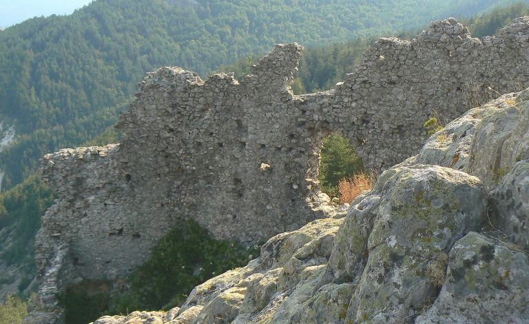
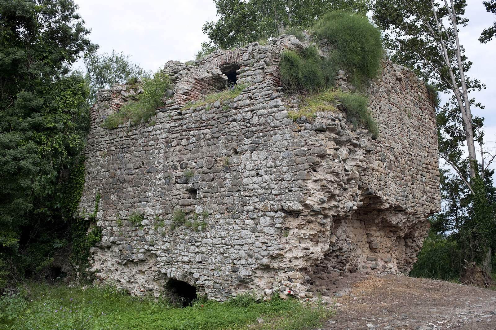
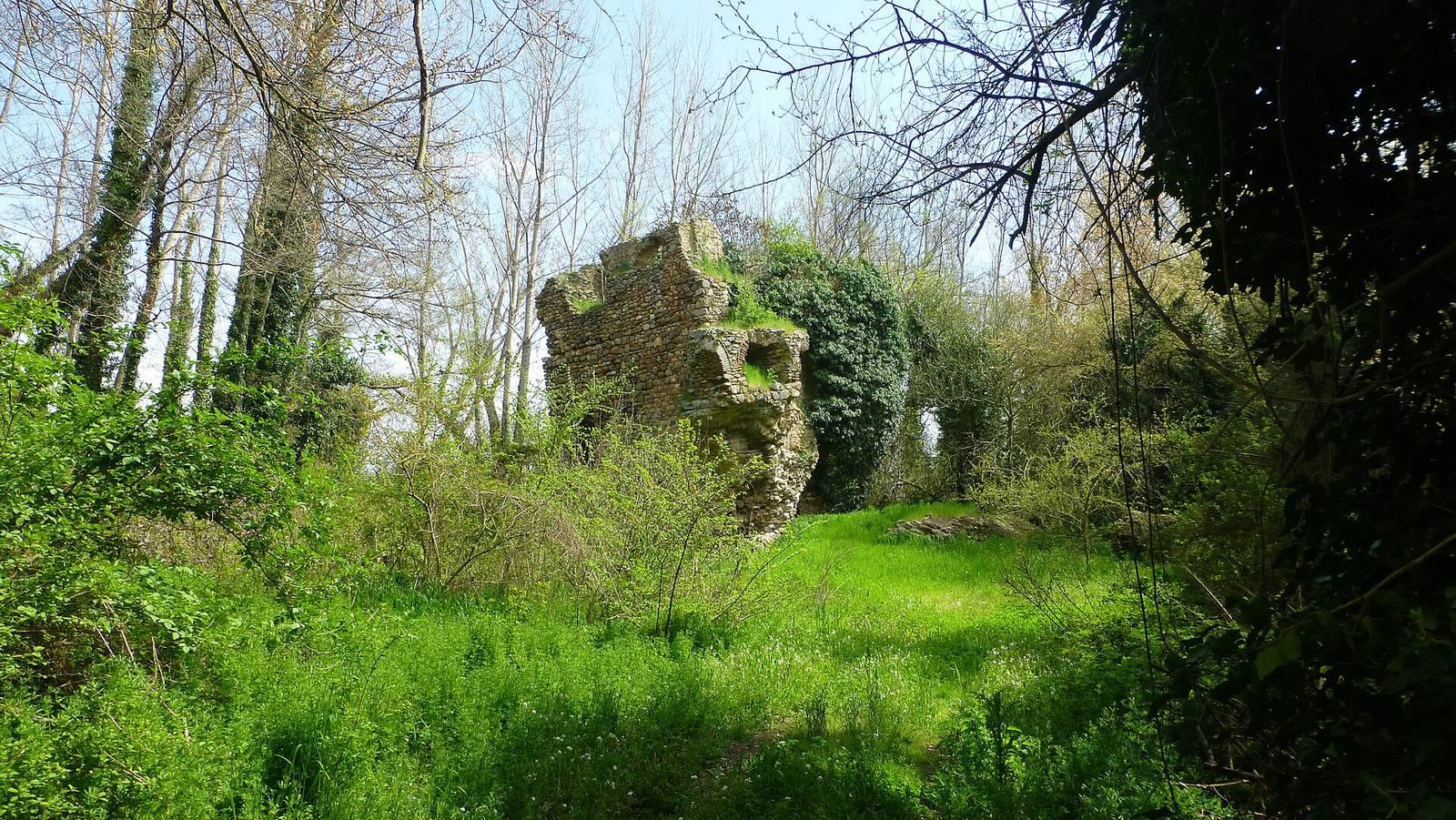
The ruins cover about 7.3 hectares within an irregular enclosure, roughly trapezoidal in outline and with its longest side to the south. The enclosure extends about 360 metres from north to south and 330 metres from west to east. Sections of wall remain several metres high. Overgrowth covers the ruins, which lie in a forest that developed there from the 1970s onward.
City walls and gates
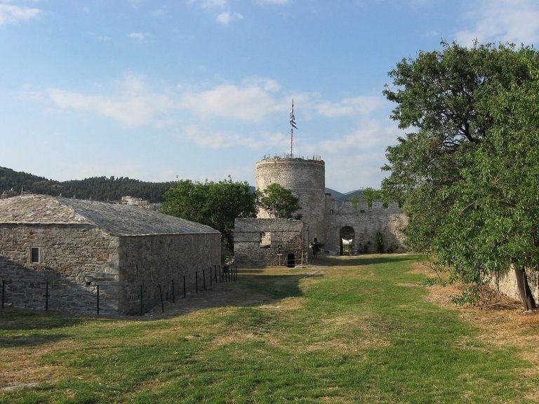
The wall circuit includes eight towers, most rectangular, with some round examples on the eastern side. Gates stood at the northwest and southeast, while a principal arched entrance in the southern wall led toward the harbor. Some towers contain the Palaiologos imperial family’s monograms, formed from bricks set into the masonry. The surviving wall fabric also preserves traces of earlier building phases. The oldest city wall is attributed to late antiquity and may have followed the same alignment.
Northern wall and water channel
A separate wall runs north for about 2.2 kilometres from the city toward the Rhodope foothills. At least three towers stood along it, and its course can be traced through aerial archaeological evidence and remains on the ground. The wall carried a channel bringing water from the mountains to supply the city. Its primary purpose appears to have been defensive, controlling the narrowed coastal plain and the Via Egnatia, with water supply as an additional function.
Harbor area
South of the city, two lines of walls extended from the city wall toward the coast to protect the harbor, although their precise form remains uncertain. The ruins now lie about two kilometres from Lake Vistonida.