Forte de D. Pedro II de Caçapava: An Unfinished Imperial Fortification
Site at a Glance
- Country
- Brazil
- Primary era
- Modern
- Eras represented
- Modern
- Civilizations
- Unclassified
- Site type
- Military
- Remains
- Fort
On this page7 sections
History
Forte de D. Pedro II de Caçapava is an unfinished nineteenth-century fortification in Caçapava do Sul, Rio Grande do Sul, Brazil. Designed in 1850 for the Brazilian Empire, the monarchy that ruled from 1822 to 1889, it was intended to defend an important inland approach. It is the only surviving fortification in Rio Grande do Sul, although it was never completed or garrisoned.
Caçapava during the Farroupilha rebellion
Caçapava’s military importance was clear during the Farroupilha Revolution, a rebellion in southern Brazil against imperial rule from 1835 to 1845. In April 1837, forces led by Colonel Antônio de Souza Neto captured the town. Nine hundred soldiers from its garrison joined the rebels, who took 15 artillery pieces, 4,000 infantry weapons, and large supplies of food and military equipment. These resources helped them seize Rio Pardo on April 30. Marshal Barreto, the provincial military commander, was later required to answer before a court-martial.
On January 9, 1839, the rebels moved their capital from Piratini to Caçapava, whose difficult access offered greater defensive advantages. Imperial troops retook the town by surprise on May 30, 1840.
Plans for a permanent fort
In the years before an anticipated conflict with Manuel Oribe and Juan Manuel de Rosas in 1850–1852, supporters of Oribe repeatedly crossed into Rio Grande do Sul. Oribe was then involved in the Guerra Grande, Uruguay’s civil war of 1843–1852, and Rosas supported him. Brazilian diplomats feared Rosas wanted to recreate the former Viceroyalty of the Río de la Plata, which had included lands now belonging to Argentina, Uruguay, and Paraguay.
In 1848, provincial president Marshal Francisco José de Sousa Soares de Andréa proposed fixed defenses and garrisons at key approaches to Rio Grande do Sul, including Caçapava. His draft called for a fortified position with warehouses, depots, barracks, and a hospital, but the proposal was not carried out. A light fortification was already at Caçapava around that time.
Construction and later use
In July 1850, Andréa’s successor, José Antônio Pimenta Bueno, judged the proposed scale excessive and commissioned military engineer Captain José Maria Pereira de Campos to prepare a more limited design and estimate. Ground preparation and marking began that September under an agreement with landowner Joaquim Lourenço de Brito. The property’s purchase was authorized on December 14, 1850, and completed on January 7, 1851.
Construction continued in 1855 under Major José Maria Pereira de Campos, with First Lieutenant Antônio Augusto d’Arruda directing the work. It stopped in December 1856, leaving the northernmost bastion and adjoining wall unfinished. Temporary defenses began in 1865. After inspecting the site in 1867, Brigadier Ricardo Jardim rejected that work and recommended completing the permanent six-sided fort as a redoubt, an enclosed defensive strongpoint, while correcting sections already built.
In 1904, the fort and unused land were transferred from the Ministry of War after the Ministry of Finance requested them. The municipality used the grounds for its animals, and from 1919 a military shooting-training organization practiced there. Around 1930, while the organization was inactive, the municipal administrator resumed use of the property, part of which became a refuse dump; the whole site was leased in 1935. On May 16, 1938, Brazil’s federal heritage agency, IPHAN, listed the fort under the name Forte de Caçapava.
Remains
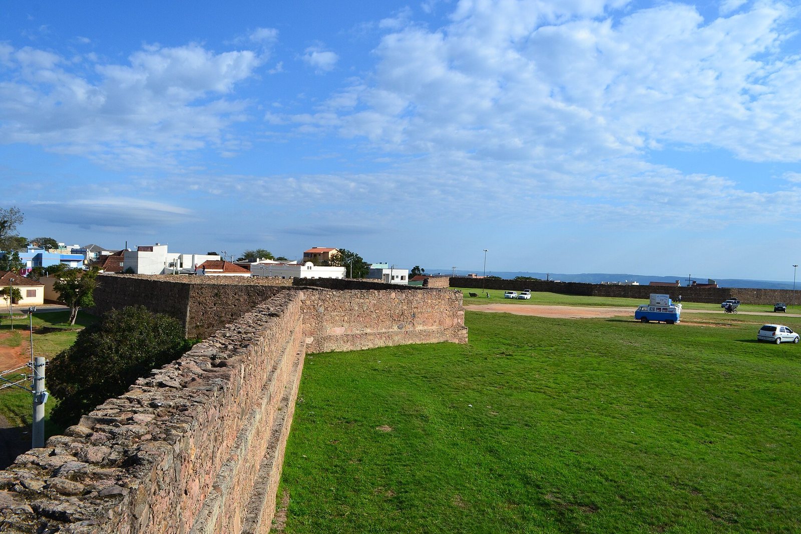
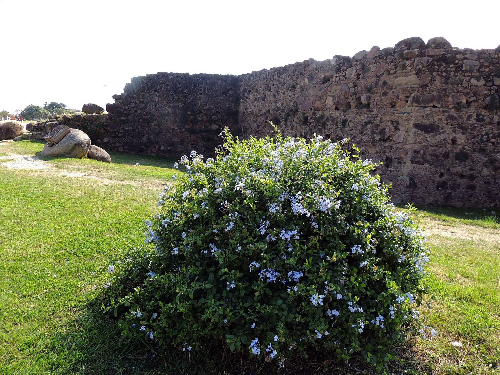
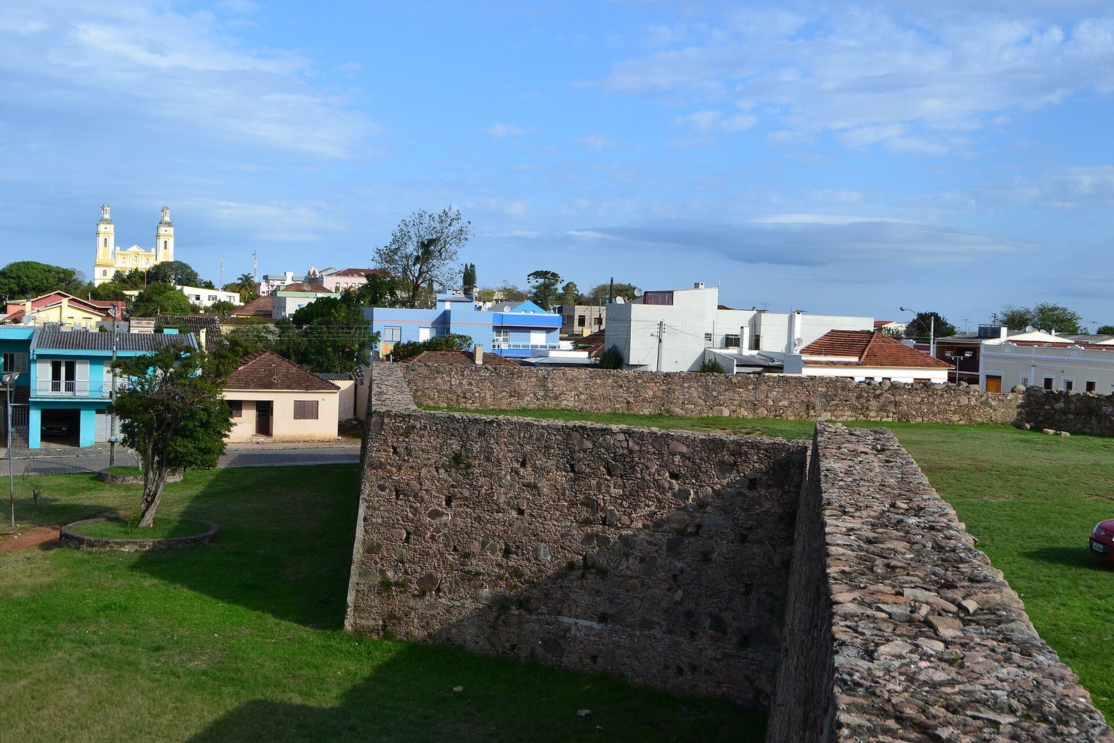
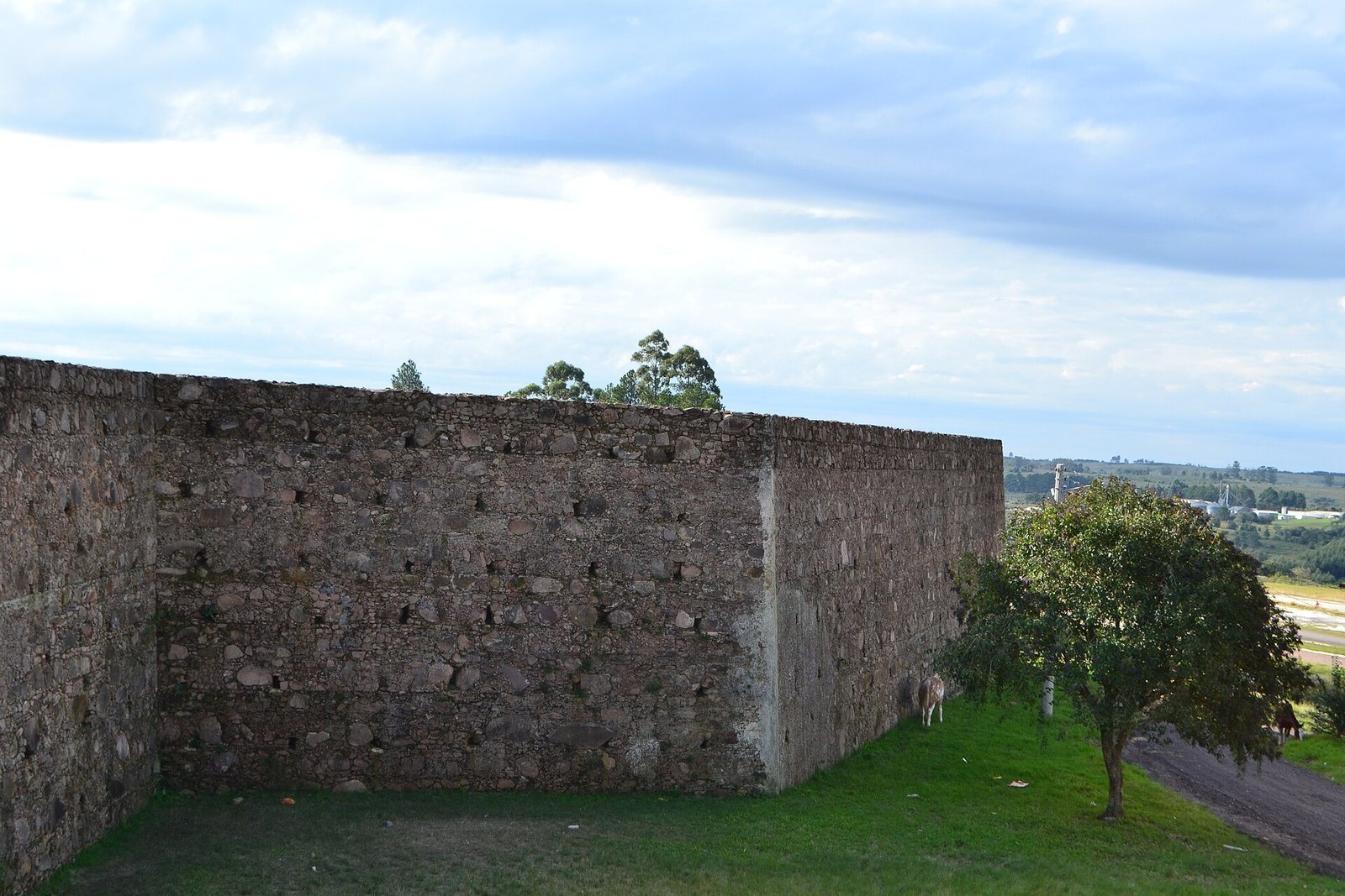
The planned permanent fort was a six-sided enclosure of rough stone, with five-sided bastions projecting from its corners. The site also preserves the location and defensive setting of an earlier earthwork. The permanent work remains unfinished.
Earlier earthwork
The earlier light fortification stood on a hill near and north of the village. It was within cannon range and high enough to command the interior of an earth trench.
Permanent fort
Pereira de Campos’s design called for walls rising 7.75 m above their foundations and an external perimeter of 611.70 m. An inspection in 1900 measured 102 m across the outermost sides, with bastion faces of 34.50 m, flanks (the sides of the bastions) of 11.50 m, and curtain walls (the walls between bastions) of 26.75 m. At that time, the completed parapets, protective barriers along the fortifications, were made of stone, lime, and sand masonry. In 1915, the masonry volume was estimated at 7,000 cubic metres, with the outer and inner areas measuring 27,000 and 18,000 square metres. The walls remain unfinished; the fort was assessed as being in good condition in 1915.