Dawulun Fort: A Japanese-Era Coastal Defense Work in Taiwan
Site at a Glance
- Country
- Taiwan
- Primary era
- Modern
- Eras represented
- Modern
- Civilizations
- Japanese
- Site type
- Military
- Remains
- Fort
On this page16 sections
History
Dawulun Fort is a Japanese-built coastal defense work on Mount Dawulun in Taiwan, completed in 1902. The high ground above the corridor between Keelung and Tamsui overlooked the route through Jinshan toward Keelung, the Malian River, and waters near Dawulun Bay, giving the area value for both land and coastal defense.
Earlier defenses
The area had a defensive role before the fort was built. In 1840, Yao Ying, a Qing regional administrator with military responsibilities, sent troops there. During the Sino-French War of 1884–1885, which included fighting in Taiwan, Liu Mingchuan, the Qing general leading Taiwan’s defense, established nearby defenses against French forces.
Japanese construction and military use
After Japan took control of Taiwan in 1895, its military surveyed Keelung’s fortifications, noting their elevations and equipment. In 1899, the Keelung branch of the Taiwan Governor-General’s Office’s military engineering department planned Dawulun Fort as a permanent defense against a possible war between Russia and Japan. That conflict, the Russo-Japanese War, was fought in 1904–1905. Construction began in March 1900 and finished in October 1902. The fort was first called Dawulun Mountain Fortress and, together with Baimiweng and Mushan forts, formed part of the defenses guarding Keelung Harbor’s western approaches.
Work on the gun positions was completed in 1903. Barracks and other facilities followed between 1907 and 1909.
Decommissioning and postwar use
A fortress reorganization plan in 1934 led to Dawulun’s decommissioning. The fort was formally removed from the military register in March 1938. In the postwar period, the Republic of China armed forces took it over under the jurisdiction of Keelung Fortress. Its military use ended in early 1957.
Protection and later interventions
Dawulun Fort became a second-level historic site in 1985. A restoration project ran from 1989 to June 1990, followed by an investigation and archaeological test excavation in 2002 and a survey of the protected area in 2007. Its status was changed to national historic site in 2009, and Taiwan’s Ministry of Culture now administers the site. A legend about hidden treasure prompted a professional field survey in 2003. In December 2011, people apparently searching for treasure drilled four holes into the shelter and used earth-moving equipment to excavate the tunnel beside a toilet.
Remains
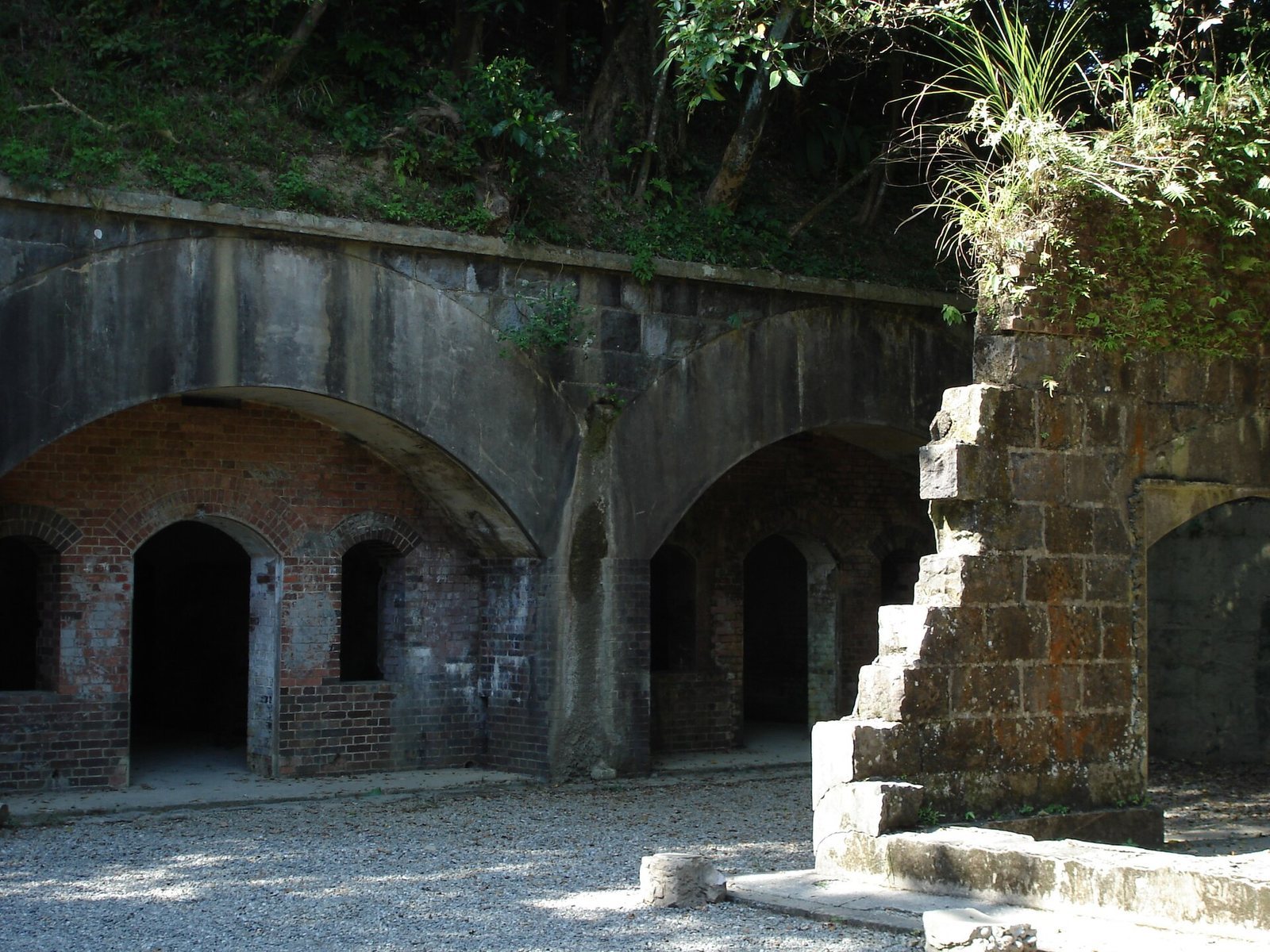
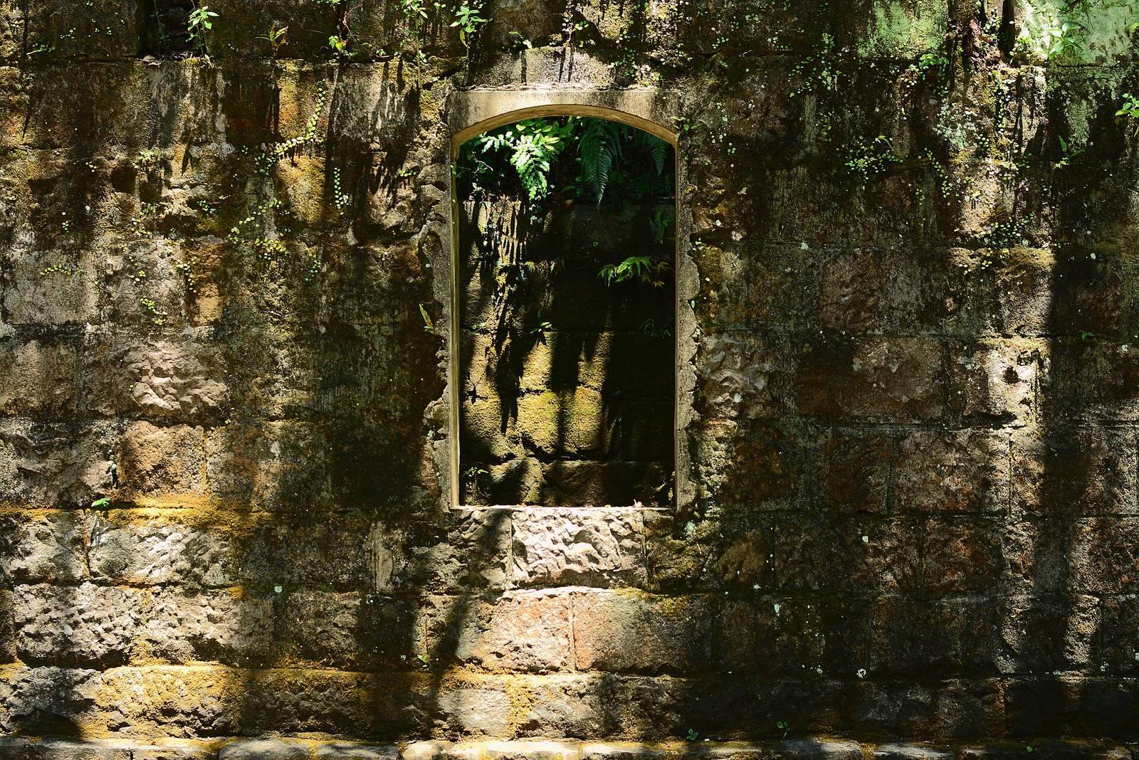
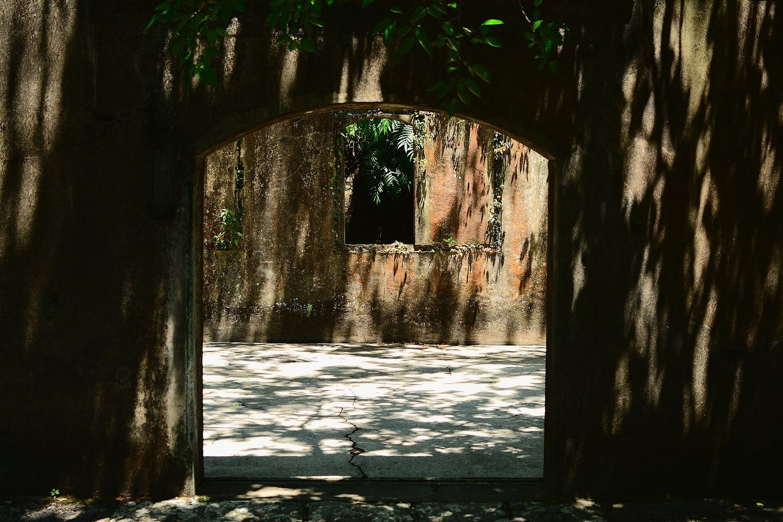
The fort follows the contours of Mount Dawulun at an elevation of 231 meters. An entrance passage leads into five main areas: the sentry building, barracks, gun positions, observation area, and outer defenses. Red brick and concrete appear in the barracks buildings, while andesite blocks were used in the artillery area. The fort’s stone walls include arched windows.
Barracks, shelter, and services
Barracks
The barracks area included sleeping quarters, a shelter, kitchen, bathhouse, and other rooms for training, lodging, rest, and command. Three barracks buildings survive. They serve as a command post, a hall for officers and non-commissioned officers, and sleeping quarters for soldiers.
Shelter
The fort’s largest building is a three-chamber shelter intended to protect people from bombardment and store ammunition. Its brick side walls are 1.2 meters thick and 1.75 meters high. They support an arched concrete roof one meter thick, which is covered by three meters of earth.
Sentry building and stores
The sentry building provided temporary accommodation for guards on duty and contained a simple kitchen, toilet, and storeroom. Only the foundations of its outer walls remain. The artillery-equipment store also survives only as foundations, while a separate stone ammunition depot stands in partial ruin.
Water installation
A water-storage installation contains four wells. Water settling and filtration supplied drinking water for the fort.
Gun positions and defensive works
Northern gun position
The northern position occupies high ground on the fort’s north side. Its recessed plan measures about 12 by 6 meters and includes a fan-shaped artillery platform. It was initially equipped with two 9-centimeter cannons. A raised concrete defensive wall at the front is 1.4 meters high, while andesite side walls are fitted to the terrain.
Southern gun position
On high ground at the south side, the southern position comprises one recessed emplacement for two guns, shaped to suit the terrain. It was intended to defend against incursions from the Wanli and Jinshan areas.
Outer shelter trenches
The outer defenses include a straight trench to the north and a curved trench to the south, both intended to shelter people from shell fragments. The northern trench is 9.6 meters long, about 1.8 meters wide, and 1.6 meters deep. The southern trench measures 15 meters long, about 1.6 meters wide, and 1.6 meters deep. Their walls use stone set in repeated diagonal rows and include drainage pipes.
Artillery connections and observation
Paths link the gun positions, which also connect to underground rooms used to store ammunition. Structures in the artillery area were built with andesite blocks brought from the mouth of the Malian River and from Keelung Mountain. The gun positions covered the northern, western, and northeastern sectors of Keelung Harbor. A defensive wall runs beside them, and drains collect rainwater. The area also included a gun-transport installation, a ramp, and observation structures. Stairs beside the gun positions lead to an observation platform with a view toward Waimushan Fishing Harbor.