Pinson Mounds: A Middle Woodland Ceremonial Complex in Tennessee
Site at a Glance
- Rating
- 4.7
- Popularity
- Low
- Country
- United States
- Primary era
- Classical
- External website
- Open
- Eras represented
- Iron Age, Classical, Medieval
- Civilizations
- Unclassified
- Site type
- Religious
- Remains
- Sanctuary
On this page16 sections
History
Pinson Mounds is a prehistoric Native American earthwork complex near Pinson in Tennessee, United States, developed by Indigenous societies during the Middle Woodland period, approximately AD 1–500. Most mound construction probably took place between AD 100 and 300. Located within the Eastern Woodlands, the broad cultural region of eastern North America associated with varied Indigenous ceremonial traditions, it is the largest group of Middle Woodland mounds in the United States. The complex appears to have served mainly religious and ceremonial purposes, although the precise motives of its builders remain uncertain.
Middle Woodland development
The mounds and associated areas were created within a landscape that also supported repeated occupation. Archaeological evidence ranges from Early Woodland use through late-Woodland and early-Mississippian activity. The relatively small quantity of cultural material, including arrowheads and pottery fragments, suggests that the complex was not a permanent settlement. Instead, people may have gathered there for ceremonies, burials, exchange, and other temporary activities.
The arrangement of the earthworks may have expressed astronomical or cosmological ideas. The corners of Sauls’ Mound correspond to the four cardinal directions. Mound 29 aligns with it toward the sunrise at the equinox, while Mound 28 is almost aligned with it toward the sunrise at the summer solstice. No mound has been found on the corresponding winter-solstice sunrise alignment. The Cochran Area may have served as a temporary habitation place, a production area for grave goods, or a regional trade center.
Archaeological investigations
After the Chickasaw were forced from much of West Tennessee in 1818, land speculator Joel Pinson arrived to survey the area. He was credited with discovering the complex in 1820, and the mounds later took his name. Articles by Jackson journalist J. G. Cisco brought wider attention to the site in the late nineteenth century and helped bring it to the notice of the Smithsonian Institution, a major United States research and educational institution.
In 1916, the Smithsonian sent archaeologist William E. Myer to investigate Pinson Mounds. Myer proposed that the earthworks followed a master plan and prepared a map of the complex. The first major excavation took place in December 1961, when University of Tennessee archaeologists Fred Fisher and Charles McNutt investigated the Mound 14 Sector at the request of the Jackson Archaeological Society and the National Park Service. Radiocarbon dating, which estimates the age of organic material such as charcoal, and the quantity of pre-Mississippian debris supported a Middle Woodland date of approximately AD 1–500.
Dan Morse and Richard Polhemus excavated the area in 1963, uncovering a probable oval house, a large hearth, and refuse pits. They also concluded that most of the mounds belonged to the Middle Woodland period. During the 1970s, John Broster investigated the Western section and the Mound 12 Sector. This work revealed a human cremation pit, Early Woodland occupation at Mound 12, and unusual artifacts in the Cochran Area that may indicate the production of grave goods or regional exchange.
In the 1980s, archaeologist Robert Mainfort discovered six tombs within the Twin Mounds. One held the remains of eight young women with headdresses decorated with copper ornaments. Another contained four older men, including one buried with two round rattles bearing abstract designs. Mainfort also found a burial in Mound 31 and evidence of food offerings at the bases of the mounds. Excavations undertaken before park facilities were constructed identified a possible habitation area at Mound 11 and numerous nineteenth-century artifacts. Four additional prehistoric mounds were confirmed in the late 1990s, bringing the number of identified prehistoric mounds to 17.
Preservation and interpretation
The Tennessee Division of Forestry purchased the Western section in 1947. The state acquired the prehistoric property from the Williams and Saul families in 1965, and the complex later became Pinson Mounds State Archaeological Park. The Tennessee Department of Environment and Conservation manages the park, while the Tennessee Division of Forestry manages the Western section. Pinson Mounds became a National Historic Landmark in 1964 and is also listed on the National Register of Historic Places, the federal inventory of places considered worthy of preservation.
Remains
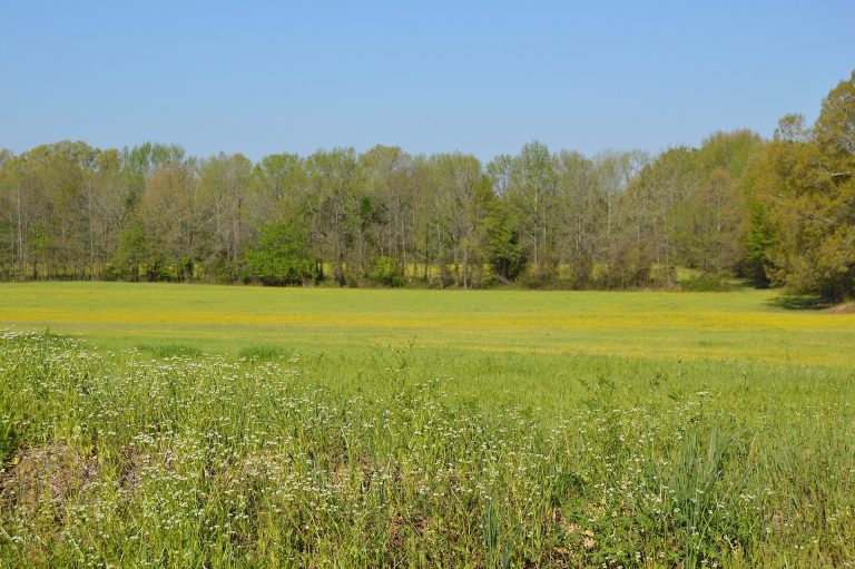
Pinson Mounds covers approximately 400 acres on a plateau-like upland above wetlands along the South Fork of the Forked Deer River, which forms the southern boundary. Oak forest covers the plateau, cypress forest grows in the bottomlands, and beech forest occupies the intervening slopes. The underlying Tertiary-period rocks provided high-quality clay. At least 30 rises or mounds are present, although 17 have been identified as wholly or partly built by prehistoric peoples. The complex is divided into Inner, Western or Ozier, and Eastern sections. Hudson Branch separates the Inner and Western sections, while the Eastern and Western sections each lie approximately 1,500 metres from the Inner section.
Central ceremonial and habitation areas
Sauls’ Mound and Mound 10
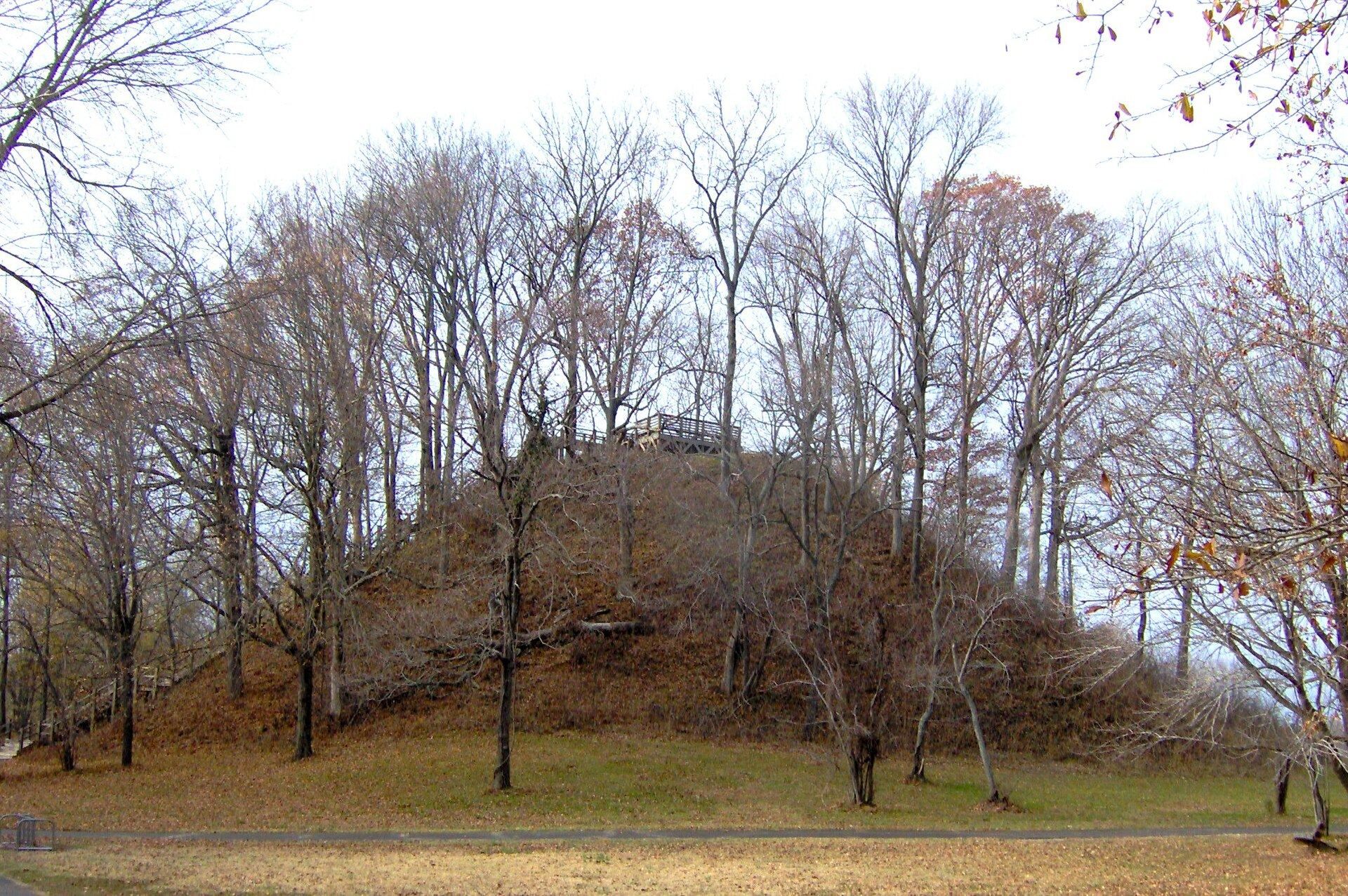
Sauls’ Mound, also called Mound 9, stands at the center of the complex. Named after former landowner John Sauls, it is a rectangular earthen mound whose corners correspond to the four cardinal directions. Its probable ceremonial function is reflected in its form and position. The mound measures approximately 112 by 91 metres at its base and rises 22 metres. A viewing platform occupies its summit.
Mound 10 lies a few metres east of Sauls’ Mound. It is probably a low platform mound, an earthen mound with a flattened summit that could support ceremonies or buildings. It measures approximately 61 by 40 metres at the base and 1.3 metres high, and probably also served a ceremonial purpose.
Mounds 11, 12, 14, 15, and 17
Mound 11 is a natural rise a few metres north of Sauls’ Mound and is believed to have been used as a Middle Woodland habitation area. Mound 12, several metres southwest of the central mound, is a burial mound built over an Early Woodland habitation area. It measures approximately 23 by 17 metres at the base and 1.3 metres high, and excavations there recovered a human cremation pit.
The Mound 14 Sector lies several metres southwest of Sauls’ Mound and represents late-Woodland to early-Mississippian habitation. Excavation exposed a house measuring approximately 6.4 by 5.5 metres. A wall trench, meaning a narrow foundation trench containing structural posts, surrounded the building, which had a central hearth and storage pits. Mound 15 lies several hundred metres farther southwest and was partly destroyed by cultivation. Its base measures approximately 46 by 50 metres, and it is about 1 metre high. Mound 17 lies several hundred metres southeast of Sauls’ Mound and measures approximately 12 metres in length and 1 metre in height.
Eastern section
Eastern Citadel
The Eastern Citadel is an earthen geometric enclosure approximately 1,500 metres east of Sauls’ Mound. Although its name suggests a defensive structure, its walls are interpreted as primarily ceremonial. They form a near-perfect semicircle approximately 366 metres in diameter and average about 1.5 metres high. The enclosed ground slopes downward from east to west, with the western edge approximately 12 metres lower than the eastern edge.
Mounds 28, 29, and 30
Mound 29 stands along the eastern edge of the Eastern Citadel. It is a rectangular platform mound measuring approximately 49 by 52 metres at the base and 3.5 metres high. Its alignment with Sauls’ Mound points toward the equinox sunrise. Mound 30 lies a few metres south and measures approximately 24 metres in length and 1 metre in height. Its bird-like outline is thought to result from recent cultivation and later erosion rather than its original construction.
Mound 28 is a rectangular platform mound approximately 1,500 metres northeast of Sauls’ Mound and several hundred metres north of the Eastern Citadel. It measures approximately 62 by 65 metres at the base and 4 metres high. Its near alignment with Sauls’ Mound points toward the summer-solstice sunrise.
Western or Ozier section
Ozier Mound
The Ozier Mound, or Mound 5, is a rectangular platform mound with an earthen ramp facing northeast. It is approximately 80 metres in diameter and 10 metres high, making it the second-largest mound in the complex. Its flat summit and ramp, together with the evidence from its excavation, indicate a probable ceremonial-platform function.
Twin Mounds and Mound 31
The Twin Mounds, also called Mound 6, form a double-conical burial mound measuring approximately 30 by 50 metres at the base. Six tombs were excavated inside it. The burials included copper-adorned headdresses, human remains, and decorated rattles, including two round rattles with abstract designs found with one of the men buried there.
Mound 31 lies a few metres south of the Ozier Mound and is a burial mound with a base measuring approximately 40 by 60 metres. Excavation identified a burial and evidence of food offerings at the bases of the mounds.
Cochran Area
The Cochran Area lies approximately 200 metres west of the Ozier section and covers about 5,000 square metres. It probably served as a temporary habitation area. Unusual artifacts from the area may reflect the production or exchange of grave goods.
Park structures and archaeological landscape
The park museum is built within a replica of a platform mound. It contains artifacts recovered from Pinson Mounds and other regional finds, and houses the West Tennessee Regional Archaeology offices and an archaeological library. The park also includes approximately 9.7 kilometres of walking trails through the mounds and associated features. South of Sauls’ Mound, a boardwalk overlooks the South Fork of the Forked Deer River and its wetlands.