El Cóporo: A Pre-Hispanic Archaeological Settlement in Guanajuato
Site at a Glance
- Rating
- 4.6
- Popularity
- Very Low
- Country
- Mexico
- Primary era
- Classical
- External website
- Open
- Eras represented
- Classical
- Civilizations
- Unclassified
- Site type
- City
On this page11 sections
History
El Cóporo is a pre-Hispanic archaeological settlement in Ocampo, Guanajuato, Mexico, built by Mesoamerican communities on the northern frontier of the cultural area. Its earliest occupation probably began around AD 200, while its principal development took place during the Late Classic and Early Postclassic periods, especially between AD 500 and 900. The settlement was probably abandoned between AD 1000 and 1100. Its Purépecha name means “over the big road.”
Origins and regional connections
El Cóporo developed on the western slopes of the Santa Bárbara range near San José del Torreón. Its cultural connections include the Tunal Grande, a northern Mesoamerican region known for related ceramics, stone tools, and architectural features, as well as the Chupícuaro tradition of the Bajío. The communities associated with the settlement also had connections with areas corresponding to present-day San Luis Potosí, Jalisco, Zacatecas, and Guanajuato.
These groups later participated in the development of the multiethnic Toltec society, a major Mesoamerican cultural and political tradition associated especially with central Mexico. El Cóporo therefore belonged to a wider network of communities and cultural influences rather than developing in isolation.
A ceremonial and governing center
The settlement consisted of villages distributed around the hill and served as a ceremonial and governing center for approximately 29 smaller settlements on its slopes. Its organization included separate ceremonial, civic-administrative, residential, and other functional areas. Religious centers were associated with elevated places and mountain slopes, while possible trade routes through the region may have carried minerals and semiprecious stones between the southern United States, central Mexico, and areas as far south as Nicaragua and Costa Rica.
Human burials in the Cóporo and Gotas groups contain bones with several layers of black pigmentation. These remains may relate to rituals connected with the veneration of the dead. The evidence gives the settlement a religious dimension that extended beyond its role as an administrative center.
Abandonment and later research
El Cóporo was probably abandoned between AD 1000 and 1100, possibly because regional climate change made continued agriculture impossible. This proposed explanation places the end of the settlement within a period of environmental pressure, although the site’s earlier occupation had already lasted for many centuries.
Beatriz Braniff carried out the first archaeological investigations in 1962. She established an initial ceramic sequence, recorded architectural elements including columns, and indicated occupation from the Preclassic through the Early Postclassic period. In 1965, the local researcher Jesús Aguirre investigated the settlement and recovered objects whose quality and artistic and religious implications pointed to a highly developed social organization during its occupation.
Archaeological work resumed in 2002 after an interval of nearly 40 years. Armando Nicolau Romero continued the investigation through topographic surveys and excavations. By 2009, only an estimated five percent of the approximately 84-hectare site had been excavated or investigated. El Cóporo is regarded as one of the four most important archaeological sites in Guanajuato.
Remains
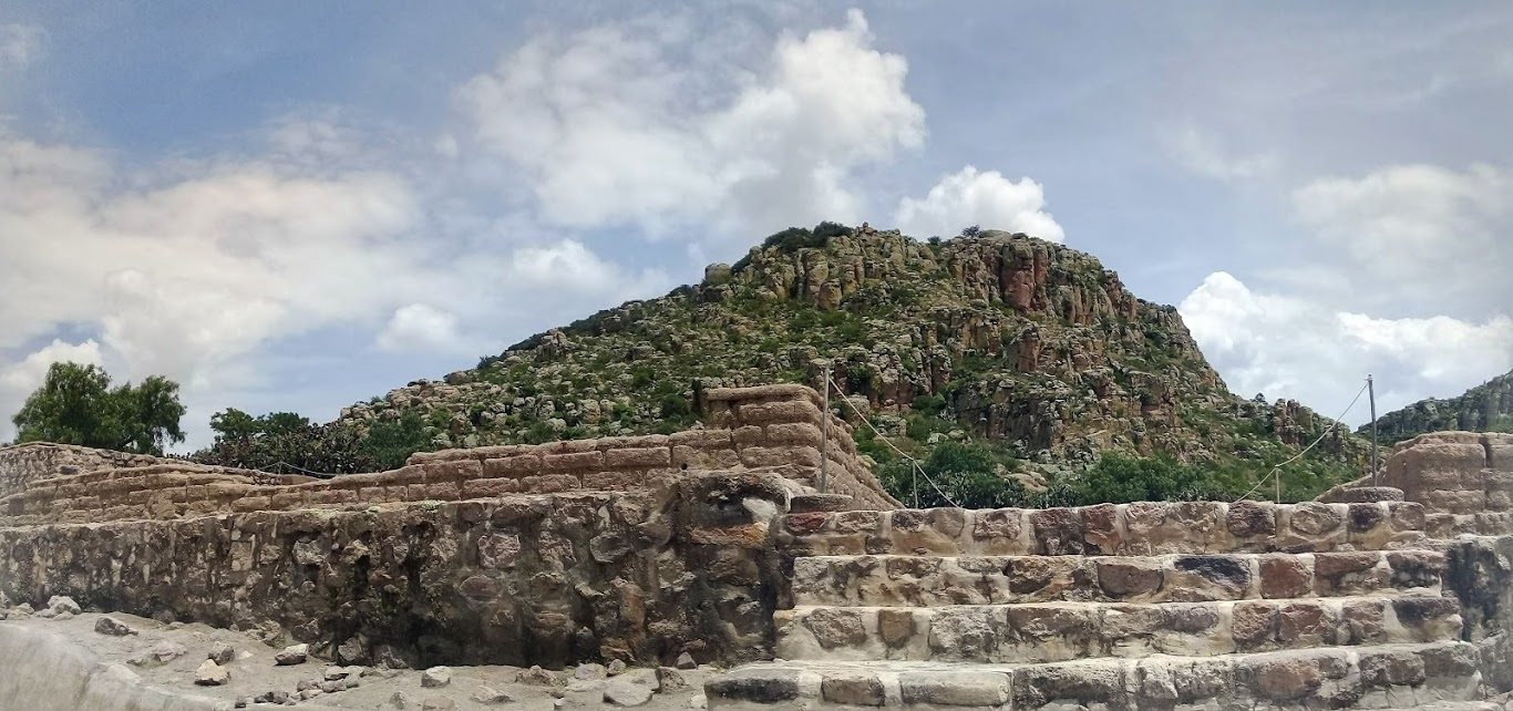
El Cóporo covers approximately 84 hectares across the slopes and summit of Cerro del Cóporo. The hill rises about 156 meters, and the settlement lies at an elevation of approximately 150 meters on the western slopes of the Santa Bárbara range. More than 150 structures are distributed through three archaeological areas or neighborhoods: a ceremonial area, the lower Gotas and Montés areas with platforms, and housing units along the valley.
Summit and architectural groups
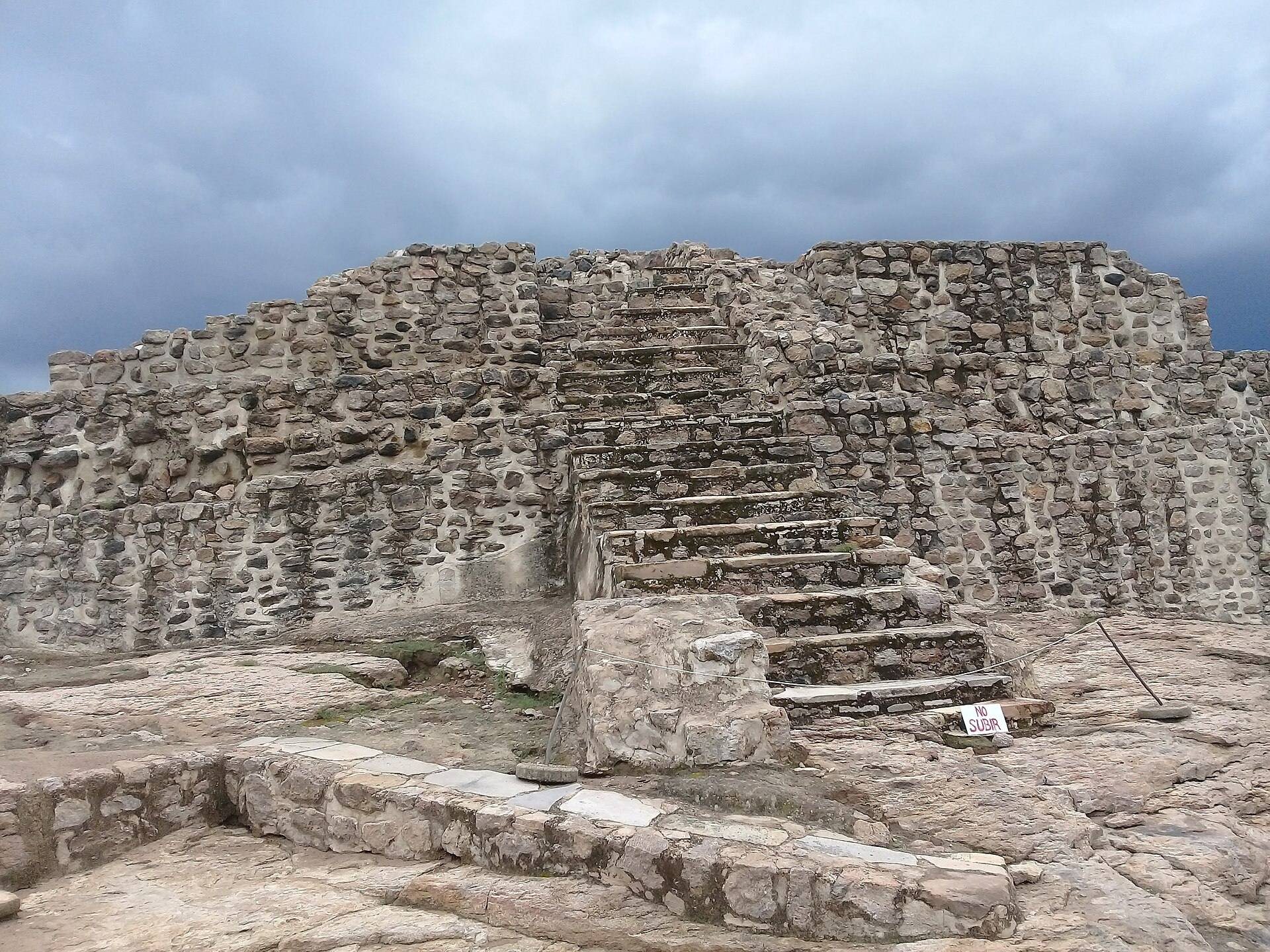
The Cóporo group occupies the summit and forms an acropolis, an elevated complex containing important ceremonial or administrative structures. Approximately 80 percent of the pyramidal base at the summit has been consolidated. Four pyramid structures, known as Gotas, Montés, Cóporo, and Caracol, were built between approximately AD 500 and 900. They may have formed an area reserved for rulers and priests.
Six architectural groups associated with the Tunal Grande culture have been excavated: Gotas, Llano, Aire, Cóporo, Montés, and Caracol. Large plazas on the northern and western slopes may have served administrative and religious functions. The Gotas group lies on the slope and includes civic-administrative and residential features. Excavated wooden remains show that some buildings used timber columns to support their roofs, and radiocarbon analysis dates these remains to approximately AD 500–900.
Plazas and ceremonial structures
Plaza 1
Plaza 1 is intended to remain in its original condition. Limited excavation and test pits expose how the area was found and illustrate the methods used in its investigation.
Plaza 2
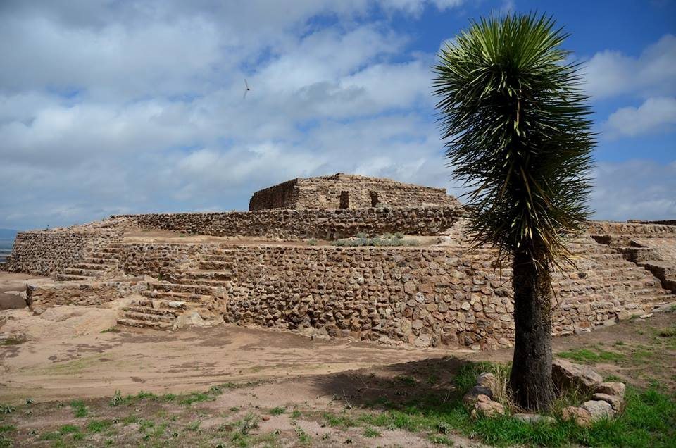
Plaza 2 belongs to the Gotas group and has been fully exposed and consolidated. It covers approximately 5,000 square meters and consists of four platforms, with the eastern and northern platforms containing the most important structures. A sloping enclosure made of stone and adobe, faced with masonry, surrounds the plaza.
A stairway leads from the enclosure to a corridor and then to a hall containing 20 wooden columns arranged in three rows. Their number may refer to the 20-day divisions used in Mesoamerican calendars. The accesses and facades face west, an orientation that may have supported astronomical observations and ceremonies linked to the solar cycle. At the rear of the hall, another stairway reaches a second level with a small corridor, a small hall, and 10 columns surrounding a central atrium.
A long, broad stone base supports three structures within Plaza 2. The central structure, known as the Palace, has a stairway and a south-facing hall with four columns, suggesting that it carried a pitched roof. Stairways on either side lead to additional levels with halls and columns that may have served civic or administrative purposes.
The southern and western platforms completely surround Plaza 2. They are smaller than the principal platforms and contain rooms divided by adobe walls. Hearths in these areas may have been used to prepare food during major ceremonies.
Residential, public, and access areas
Montés is a residential area, while Caracol also appears to have served a residential purpose. Caracol contains defensive elements described as barricades made from stone and earth. In the lower part of the settlement, Llano contains public and domestic areas together with workshops.
The Aire group includes a probably stone-paved road that may have given pilgrims access to sacred places within the settlement. The arrangement of these areas reflects the division of El Cóporo into ceremonial, administrative, residential, and craft-related spaces.
Archaeological materials and preservation
Excavated and exposed remains include ceramic utensils, hunting-related objects, stone grinding vessels known as molcajetes, and remnants of houses located no more than approximately 20 centimeters below the surface. Some objects remain exposed and mixed with livestock manure. The shallow and exposed nature of the remains has contributed to inadequate preservation, and neglect by the National Institute of Anthropology and History, the government of Guanajuato, and the municipal government has been alleged.