Lohgarh: The Capital Fort of Banda Singh Bahadur
Site at a Glance
- Rating
- 4.9
- Popularity
- Very Low
- Country
- India
- Primary era
- Early Modern
- Eras represented
- Early Modern
- Civilizations
- Unclassified
- Site type
- Military
- Remains
- Fort
On this page10 sections
History
Lohgarh is a fortified Sikh stronghold in Himachal Pradesh, India, that served as the capital of the first Sikh state from February 1710 until 1715. Its occupation belonged to the early eighteenth-century struggle between Banda Singh Bahadur and the Mughal Empire, the Islamic imperial dynasty then controlling much of northern India.
Origins and Renaming
The fort was originally called Mukhlispur or Mukhlisgarh. Its beginnings have been attributed to several earlier building phases, including construction under Islam Shah Suri, work commissioned by Mukhlis Khan during the reign of Emperor Shah Jahan, and activity by Bhai Lakhi Rai Banjara under Guru Hargobind from the 1620s. Guru Hargobind, the sixth Sikh Guru, is associated with the Sikh principle of combining spiritual authority with responsibility in worldly affairs.
Banda Singh Bahadur repaired, completed, or substantially strengthened the fort after taking control of the area. He renamed it Lohgarh, meaning “Iron Fort.” The site became his headquarters after victories at Samana and Sadhaura in 1709 and the capture of Sirhind in May 1710.
Capital of the First Sikh State
From Lohgarh, Banda Singh directed the administration and military affairs of the emerging Sikh state. Its territory extended from the Sivalik Hills in the north to the Yamuna in the east, the Tangri River in the west, and the Karnal, Thanesar, Kaithal, and Samana line in the south. Wealth acquired during the campaigns, including treasure taken at Sirhind, was deposited at the capital.
Banda Singh’s government abolished the zamindari system, in which landholding intermediaries or revenue-collecting proprietors controlled rural land, and granted legal ownership to cultivators. Khalsa coins issued at Lohgarh carried the names of Guru Nanak and Guru Gobind Singh. Guru Nanak founded Sikhism, while Guru Gobind Singh was the tenth Sikh Guru and organized the Khalsa, the Sikh religious community formally established in 1699. Their names expressed the religious legitimacy claimed by Banda Singh’s government.
A Khalsa government seal made the same connection through the images of a cauldron and a sword. The cauldron represented feeding the poor, while the sword represented protecting the weak. Together, these symbols presented the government as responsible for both social welfare and defense.
Mughal Siege and Destruction
Mughal Emperor Bahadur Shah I personally led forces to Sadaura and besieged Lohgarh. Khalsa soldiers defended the fort for about a month. Mughal artillery destroyed the stronghold, but Banda Singh escaped with his forces through the hill routes toward the upper Nahan State. The Mughal army constructed a trench near the fort during the siege, yet the besiegers failed to capture Banda Singh or the soldiers defending the site.
After Banda Singh left Lohgarh in 1715, Mughal and Nahan State forces repeatedly demolished the fort. Following his execution, the Mughal administration assigned the remaining dismantling to Massa Ranghar. The work began in 1716 and continued until 1739, with the aim of preventing the Sikhs from rebuilding the stronghold.
Modern Commemoration
Post-independence development connected Lohgarh with Bhagwanpur and Adi Badri through roads, added a bridge over the Somb River, and included a dam intended to provide water throughout the year. A memorial to Banda Singh Bahadur was also built. During tercentenary commemorations, the Sikh congregation installed a statue of Banda Singh at Gurdwara Lohgarh Sahib.
Remains
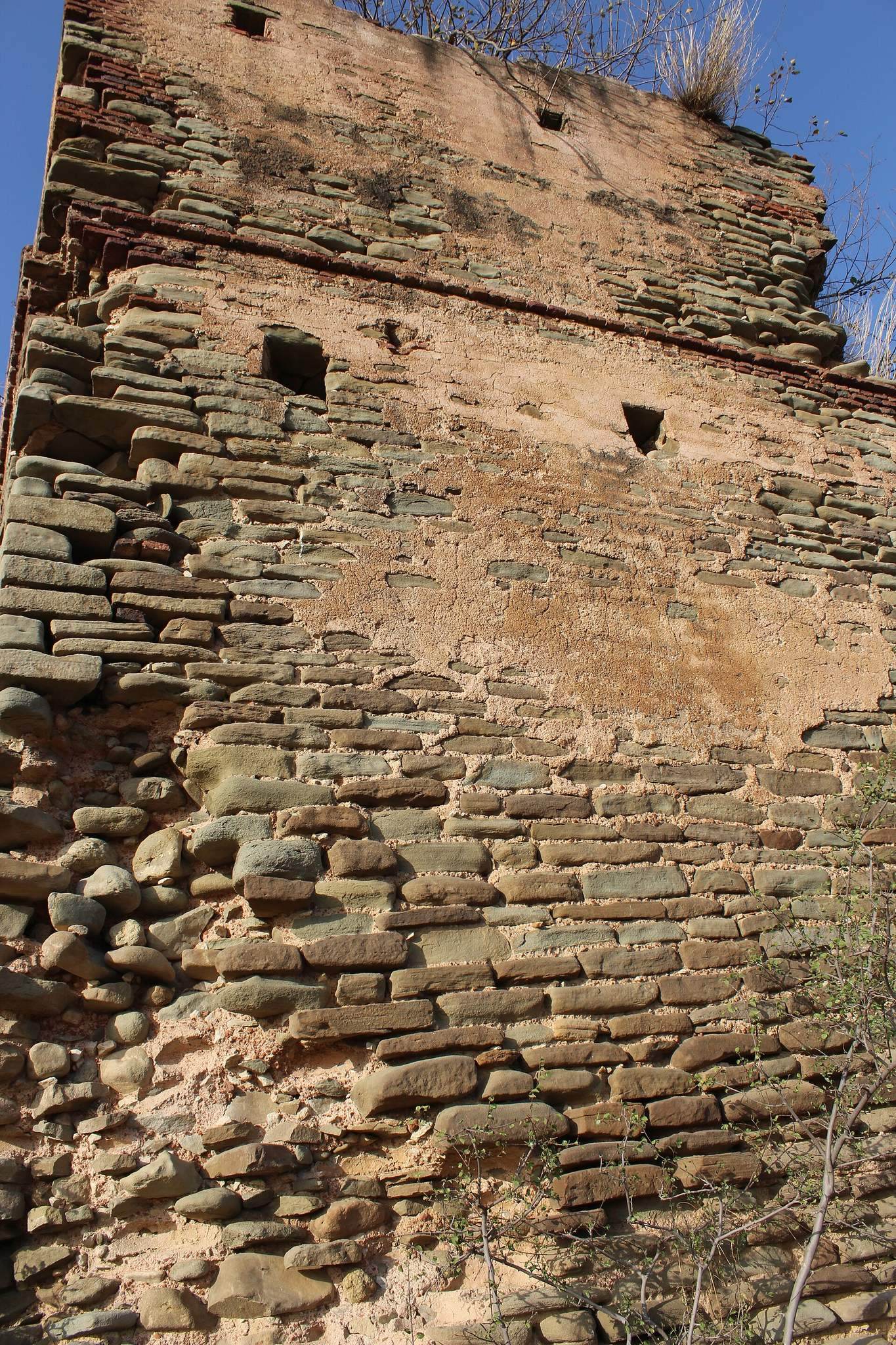
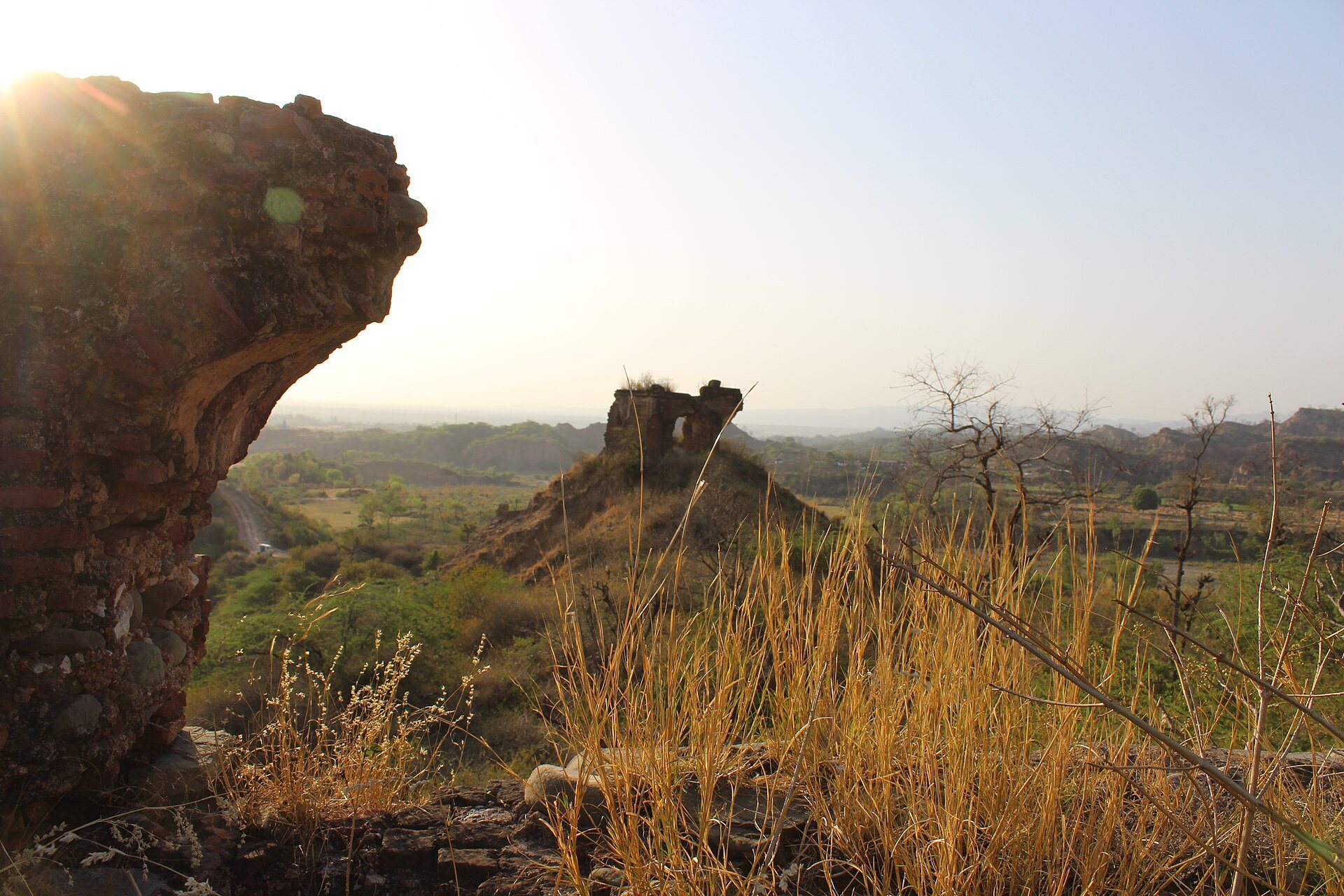
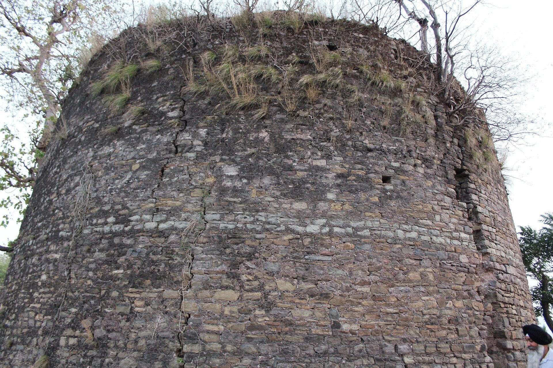
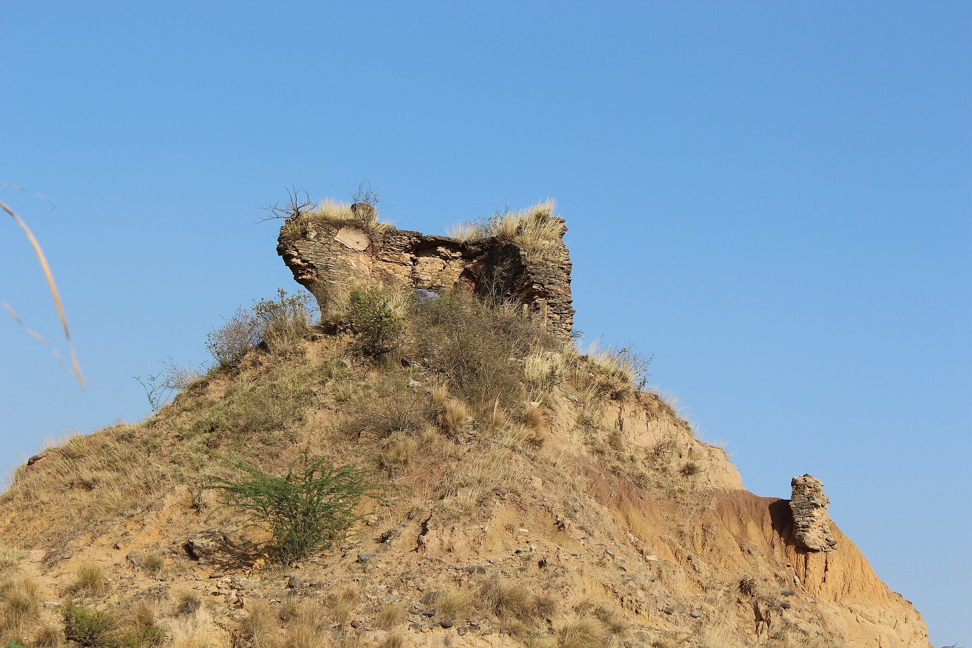
Lohgarh occupies an elevated summit in the lower Himalayan, or Sivalik, foothills, roughly halfway between Nahan and Sadhaura. Steep rocks and ravines made the hill difficult to approach. Two watercourses, the Pamuwali and Daska-wali khols, enclosed the hill after separating from a single stream. The fort’s wider territorial extent is described as approximately 7,000 acres, with a circumference of about 30 kilometres, incorporating revenue estates in present-day Haryana and Himachal Pradesh.
Hilltop Fortifications
Defensive Walls
The defensive system included 52 stone walls. Each wall was approximately 3 to 4 feet high and 50 to 100 feet long. Their arrangement allowed Sikh soldiers to fire repeatedly at troops climbing toward the fortress. Engineering assessments associate the construction of these defenses with a period of roughly 70 to 80 years, reflecting the fort’s development through successive phases.
Siege Trench
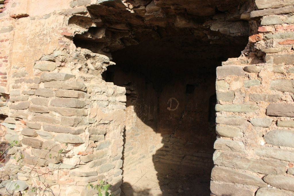
A trench constructed by the Mughal army during the siege survives near the fort site. The fortification walls and other trenches were later removed, while bricks and rocks were transported elsewhere. Surviving fort fabric is represented by a few stones among the ruins.
Gurdwara and Commemorative Features
Lohgarh Sahib Gurdwara stands on land owned by the village panchayat. The Shiromani Gurdwara Parbandhak Committee purchased eight acres in 2008, and the Gurdwara Paonta Sahib Management Committee acquired additional land in 2007. Lohgarh Trust later purchased three acres for construction of the gurdwara. These associated grounds form part of the modern religious presence at the former Sikh capital.