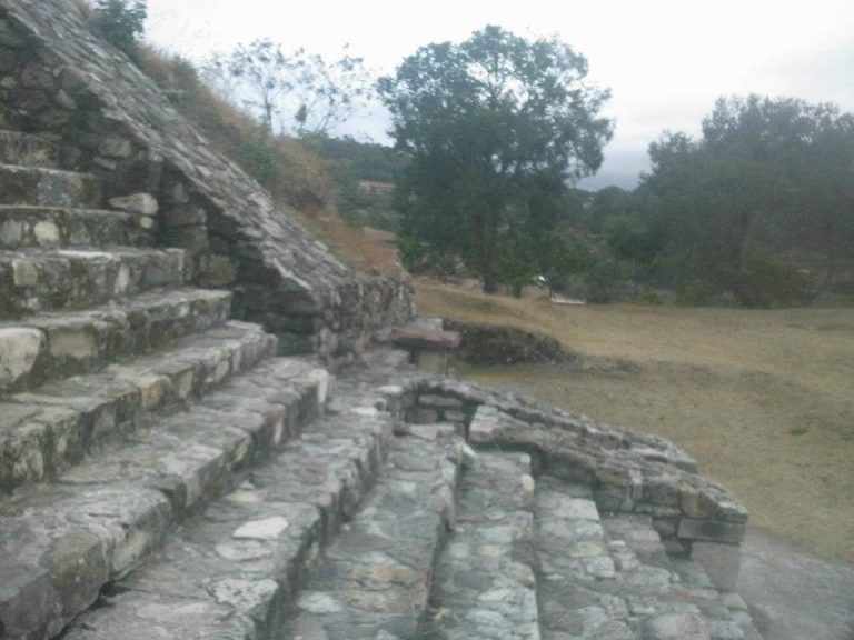
Cerro de las Minas: A Ñuiñe City in Oaxaca
Site at a Glance
- Rating
- 4.3
- Popularity
- Low
- Country
- Mexico
- Primary era
- Medieval
- Eras represented
- Classical, Medieval
- Civilizations
- Unclassified
- Site type
- City
On this page18 sections
History
Cerro de las Minas is a Mixtec archaeological site on a hill just north of Huajuapan de León in Oaxaca, Mexico. Founded during the Late Preclassic period, it developed within the Ñuiñe cultural area of the Lowland Mixtec region and became a city shaped by the hill’s strategic position above the agricultural lands and trade routes of the Huajuapan Valley.
From village to regional center
The settlement began as a village probably founded by people from Santa Teresa, about 2 kilometers to the south. Its first major phase, known as Ñudee, lasted from 400 BCE to 250 CE. Ñudee is the Mixtec name for Huajuapan and means “place of the brave.” During this period, the settlement grew beyond its initial role and became associated with a local elite.
The Huajuapan Valley formed part of routes connecting the Valley of Mexico, the central valleys of Oaxaca, the Valley of Tehuacán, and other areas of the Sierra Madre del Sur. Obsidian, ceramics, textiles, metals, salt, wood, charcoal, plants, fruit, and copal moved through this wider network. Cerro de las Minas occupied a position that linked its local agricultural base with these routes, helping it develop regional political and economic importance.
The Ñuiñe city-state
From about 250 to 800 CE, during the Ñuiñe phase, Cerro de las Minas functioned as a city-state and as the economic, political, and cultural center of an area extending roughly 10 to 15 kilometers around the hill. Its population probably reached between 1,000 and 2,000 people. The city reached its height during the Early Classic period, between approximately 400 and 800 CE.
Ñuiñe culture was a Classic-period tradition of the Lowland Mixtec region, recognized through distinctive architecture, ceramics, figurines, funerary urns, and a glyphic writing system. It probably emerged from earlier Mixtec traditions during the period up to about 250 to 350 CE, possibly under the influence of Teotihuacan. Relief inscriptions at Cerro de las Minas resemble writing from Zapotec Monte Albán, indicating strong connections between the Oaxaca valleys and the Lowland Mixtec region during the Classic period.
The city was organized around several plazas rather than a single large central plaza, a pattern associated here with Mixtec urban design. Terraces called koo yuu, understood as clay embankments or dikes, adapted the steep hill for construction. These terraces created level areas for a market, a palace, and residential sectors, while stairways provided access between different elevations.
Decline and later history
From around 800 CE, the city declined, possibly after subjugation by a neighboring dominion. The area did not regain major importance until the Spanish city of Huajuapan was established in the valley beside the river in 1525. Cerro de las Minas therefore preserves the remains of an earlier urban center whose regional role belonged chiefly to the Preclassic and Classic periods.
Systematic exploration began in the 1960s under the archaeologist John Paddock, whose work helped define Ñuiñe culture. Major excavation and investigation continued during the 1980s and early 1990s under Marcus Winter with a team of about 200 people. Between 1987 and 1992, further exploration and restoration took place in several campaigns through Mexico’s National Institute of Anthropology and History, the federal institution responsible for archaeological research, conservation, and protection of archaeological heritage.
Excavation at Cerro de las Minas has supplied much of the limited archaeological evidence for the Mixtec region, especially evidence for Ñuiñe glyphic writing. Work has covered only part of the site after approximately six years of excavation, and further fieldwork did not continue because funding was unavailable. In 2007, the National Institute of Anthropology and History discovered a pre-Hispanic tomb at the foot of the hill. Cerro de las Minas is described as the only Lowland Mixtec archaeological site open to the public.
Remains
The archaeological area covers approximately 50 hectares across the summit and slopes of the hill. Its defensible position overlooked the valley, while terraces on the sides provided level ground for civic, residential, and commercial spaces. Three central mounds, each about 8 meters high and 40 meters in diameter, form a line across the middle of the site. Large platforms built between them extend for approximately 180 meters in total.
Hilltop platforms and plazas
Structure H1A
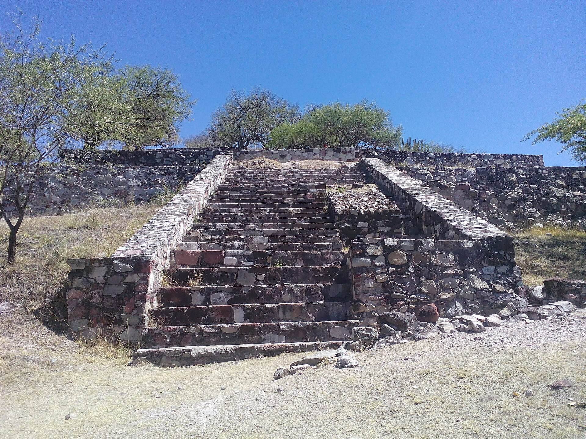
Structure H1A spans the width of the hilltop. A building, probably a temple, once stood above it and was reached by a broad staircase. The structure formed part of the elevated arrangement that organized construction across the summit.
Mound 1
Mound 1 remains unexplored. Its staircase probably led to a temple on the summit, indicating that the mound was designed as an elevated architectural platform rather than simply a natural rise in the hill.
Mound 2
Mound 2 is a broad platform with vertical walls and a flat upper surface. Residences probably stood along its northeastern side, although the buildings that once occupied the platform have not been identified.
Main Plaza
The Main Plaza lies between Mounds 1 and 2. It included the patio of Tomb 5 and was enclosed on three sides by residential buildings. Foundations of rooms and patios survive, preserving part of the arrangement of domestic and elite architecture around the open space.
Palace and burial areas
Palace complex
The palace complex was divided into rooms around a central patio and included the large Tomb 5. The tomb lies south of the Main Plaza and its patio area. The patio also contains another residential sector, designated Area C, linking the palace complex with spaces used for domestic occupation.
Tomb 5
Tomb 5 contained the remains of several people, including three major burials probably associated with the ruling family. More than 70 vessels and a Ñuiñe urn were also found there. The patio walls built later in the area preserve block-and-slab and sloping-panel construction techniques.
The tomb produced a large quantity of Mixtec ceramics, including a multicolored urn depicting a deity associated with wind or fire. The figure wears a brazier on its head and sits on a platform decorated with four glyphs. The urn is now displayed in the Museum of Oaxaca.
Other tombs and graves
Nine tombs were discovered at Cerro de las Minas. Some had been looted, while others contained human remains, vessels, and gravestones bearing the names of the deceased. More than 100 additional ordinary graves were also found. Residences in dominant positions contained graves, a pattern associated with Mixtec burial practices for people of high or otherwise favored status.
Much of the known Ñuiñe writing from the site came from gravestones in Tomb 5. A glyph is a visual sign used in a writing system. Here, the inscriptions generally place a central glyph, usually the name of the deceased, alongside dates. Two gravestones were probably associated with city governors, connecting the burial area with the political organization of the city.
Ball court and market area
Ballgame court
The ballgame court lies beside Mound 2. It was probably an I-shaped Mesoamerican ball court, a purpose-built space for a ritual and competitive ballgame played across ancient Mesoamerica. The court measured about 60 meters long and 15 meters wide. Its interpretation remains partly dependent on an elongated form and two small engraved stones, because houses were later built over it during the Late Ñuiñe phase.
Mound 3 and the market
Mound 3 remains unexplored. The level area between Mounds 2 and 3 lacks the residential remains found in the patio of Tomb 5 and is therefore thought to have been a tianguis, or market. Its position among the central mounds fits the evidence for a city organized around several specialized plazas and platforms.
Residences, writing, and excavated objects
Residential buildings generally had stone foundations and walls made of stone or adobe. Later houses used thinner walls, with smaller flagstones filling the gaps between larger stones. Buildings were distributed around the plazas and across the terraces, creating residential sectors alongside the larger platforms and civic spaces.
Ñuiñe relief inscriptions decorated parts of the site. The writing system also appears at San Pedro y San Pablo Tequixtepec, approximately 25 kilometers to the north. Other cultural materials from Cerro de las Minas indicate contact and influence from Diquiyú, Monte Negro, Huamelulpan, Yucuita, and Yucuñudahui. Objects excavated at the site are exhibited at the Huajuapan Community Museum, the Museum of the Cultures of Oaxaca, and the Frissell Museum of Mitla.
Tomb 3 had been vandalized but still contained fragments of an urn and a carved stone. Together with the tombs, gravestones, ceramics, residential foundations, platforms, and terraces, these remains provide evidence for the city’s social organization, burial practices, artistic traditions, and connections within the wider Mixtec and Oaxaca regions.