Huamelulpan: A Mixtec Archaeological Center in Oaxaca
Site at a Glance
- Rating
- 4.5
- Popularity
- Very Low
- Country
- Mexico
- Primary era
- Classical
- Eras represented
- Classical, Medieval
- Civilizations
- Mixtec
- Site type
- City
On this page13 sections
History
Huamelulpan is a Mixtec archaeological center in San Martín Huamelulpam, Oaxaca, Mexico. Founded around 400 BCE at an elevation of approximately 2,218 metres, it remained an important urban settlement until about 800 CE and was occupied from the Preclassic into the Postclassic period. The city was likely one of the largest Mesoamerican urban centers of its time and had one of the region’s longest occupational histories.
Early Mixtec development
Huamelulpan became especially prominent during the Ramos Phase, an archaeological period in the development of Mixtec societies dating from approximately 300 BCE to 200 CE. This was the settlement’s apogee, when urban societies were developing across Mesoamerica. The Mixtec, Indigenous Mesoamerican peoples whose historic homeland includes Oaxaca, Guerrero, and Puebla, called their early culture Ñuu Sa Na’, meaning “Ancient People.” In the Lower Mixteca, it was also known as Ñuu Yata.
During its early urban development, Huamelulpan maintained complex and changing relationships with Monte Albán, the major ancient urban and political center of Oaxaca. It was associated with other early regional settlements, including Cerro de las Minas, Yucuita, Diquiyú, and Monte Negro. Their periods of florescence included monumental construction, sculpture, and clear social distinctions between residential areas.
Expansion and regional connections
Around 200 CE, some Mixtec centers were partly or entirely abandoned. Between approximately 400 and 800 CE, Huamelulpan and other settlements entered another period of urban expansion. During this later phase, close relations with Monte Albán weakened, while new connections developed with Lower Mixtec centers linked to Puebla and possibly the Valley of Mexico. The Lower Mixtec, or Ñuiñe, culture developed during this period.
Huamelulpan received tribute and took part in exchange networks extending toward Puebla, Tehuacán, Oaxaca, and the Pacific coast. Textiles and yarns arrived from Tehuacán and Puebla. The Pacific coast supplied chilies, Jamaica, gourds, dried fish, salt, and shells used for necklaces and earrings. The settlement also contained important workshops for weapons and furs.
Abandonment and archaeological discovery
Huamelulpan was abandoned by the Postclassic period and later served for sumptuary burials, elite or socially prestigious burials accompanied by valuable or symbolically important goods. Alfonso Caso discovered the site archaeologically in 1933. Many recovered objects are displayed in the Town Community Museum.
The name Huamelulpan comes from Nahuatl, although Nahuatl was not spoken by the settlement’s original inhabitants. The Mixtec name is Yucunindaba, meaning “Hill that flew.” Jansen and Pérez Jiménez instead proposed Yucunundaua, “Hill of the Wooden Columns.” Another local explanation links the name to two huamil trees that grew together in the shape of the letter “h” and were said to have survived for centuries.
Remains
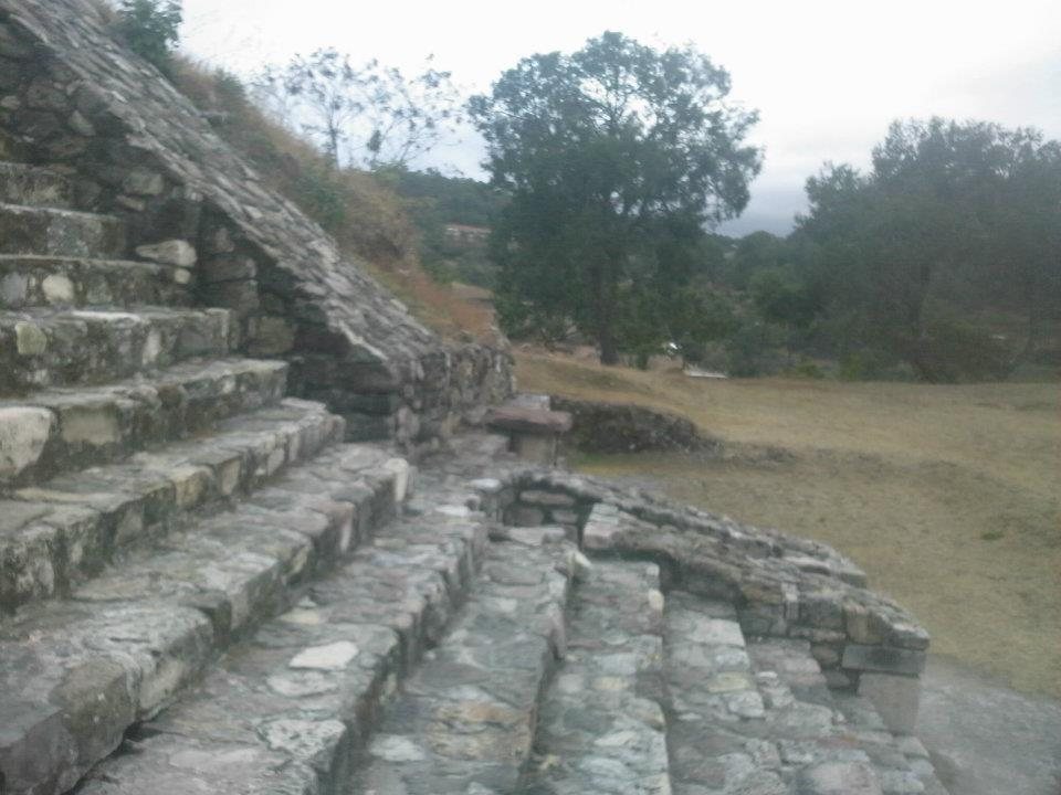
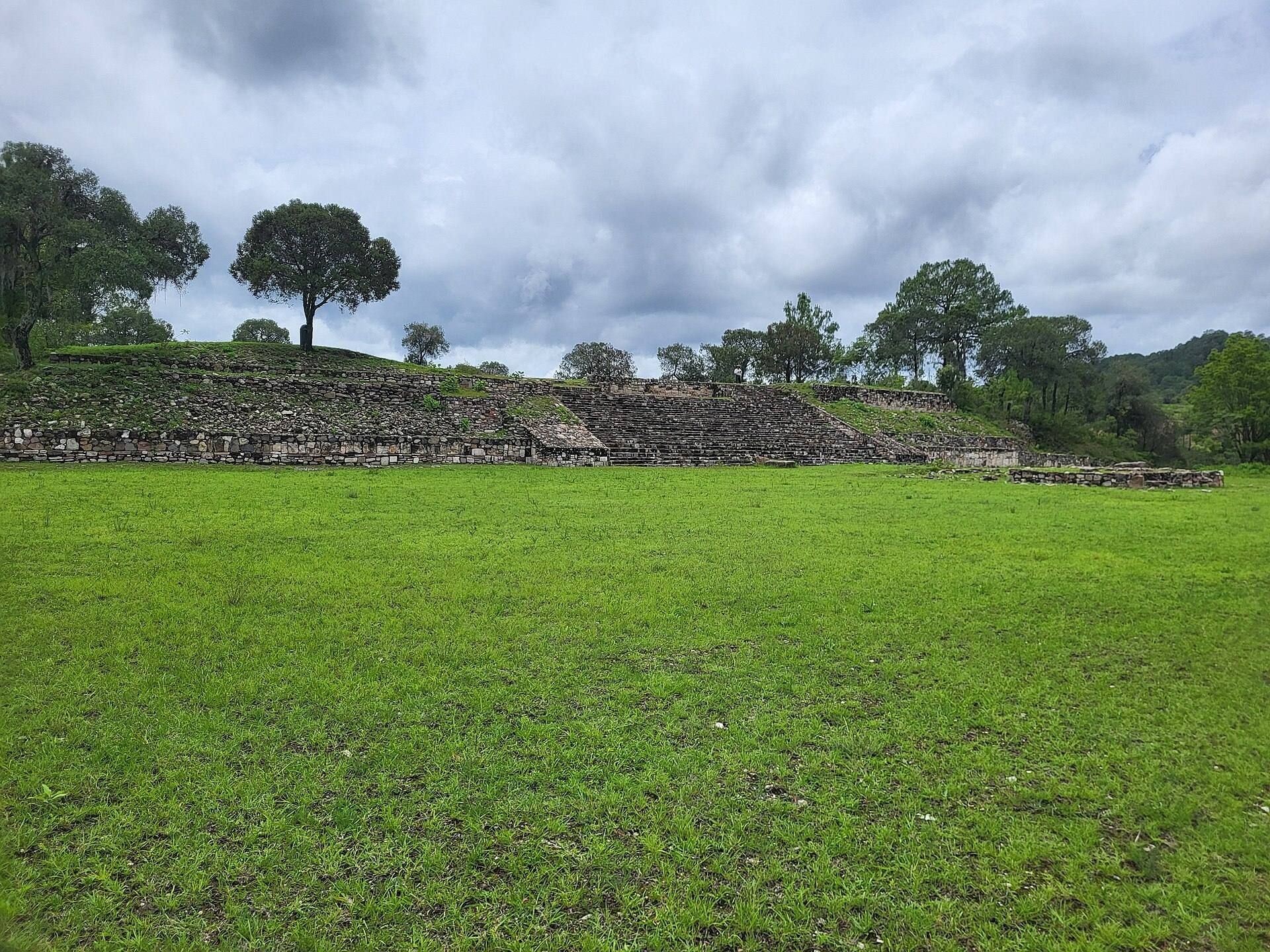
The archaeological site occupies a hillside and is arranged in five principal groups, each containing several structures. Its remains include terraces, platforms, plazas, mounds, a ballcourt, tombs, residential areas, carved stones, and architectural elements incorporated into a modern church. The construction commonly uses platforms and structures with sloping walls, while surviving stucco and carved features preserve evidence of the site’s architectural and ceremonial development.
Terraces and principal groups
Upper terraces
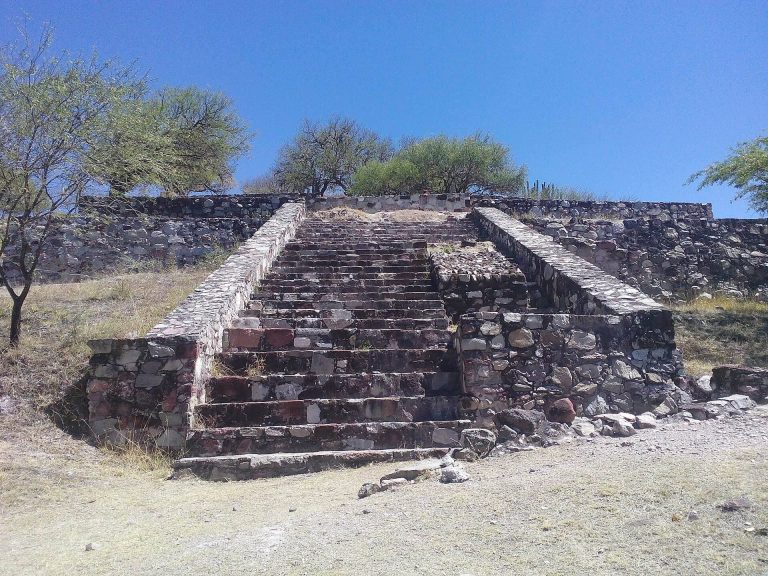
Two principal terrace groups occupy the slope. The first includes platforms with sloping walls, a stairway, and a hydraulic system. Stands bearing carved numerals form part of this group. The second consists of two platforms made from rectangular structures with sloping walls, some of which retain stucco.
Plaza group
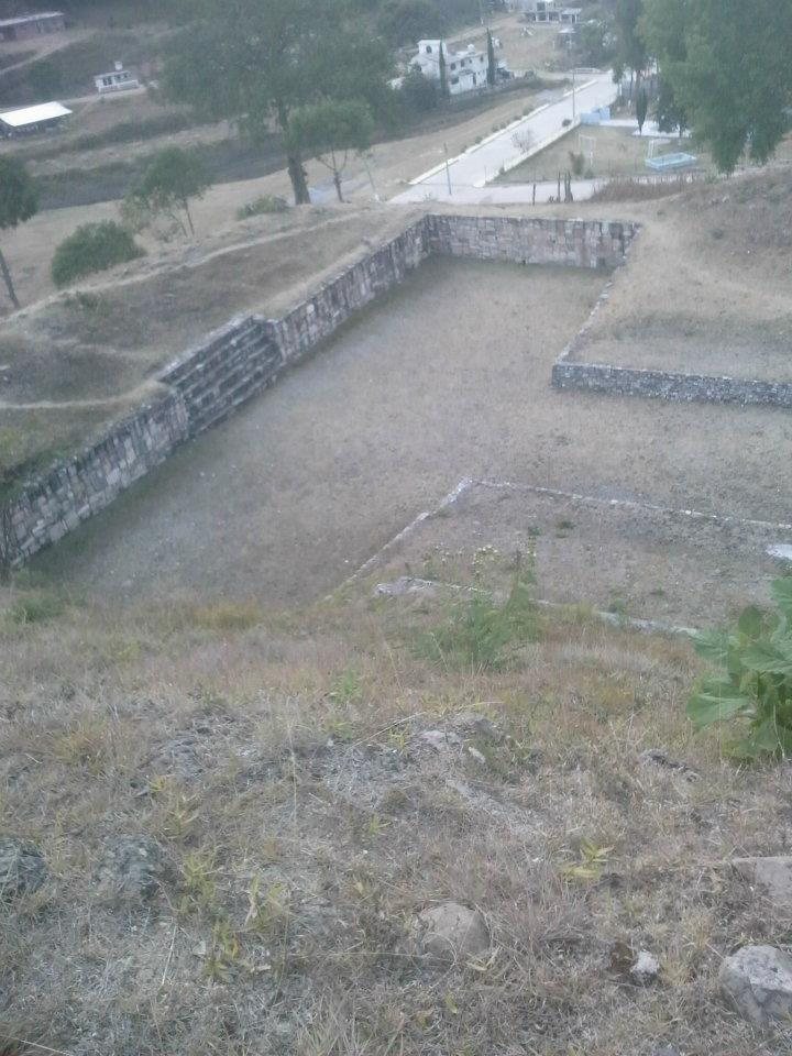
One group contains two large plazas, each with a central mound, together with smaller mounds distributed through the plazas. The principal structures in this area face west. They include a large square platform with a central plaza and knolls on three sides, a large terrace known as Plaza 2 with an altar, and an I-shaped ballcourt approximately 70 metres long. The ballcourt was a specialized space for the Mesoamerican ballgame.
Cerro Volado group
At the foot of Cerro Volado, four low platforms are arranged around a patio. Another group contains two badly damaged platforms, with a residential area between the group and the Pantheon.
Church Group and later reuse
Church Group
The Church Group is the largest of the site’s principal groups. It occupies a hill terrace east of the municipal center, and ancient constructions extend along its slopes. A modern church was built with stones removed from these earlier structures. Some reused stones still embedded in the church walls bear visible carved characters.
Western platforms
West of the Church Group, several platforms were constructed at different levels. Their arrangement adds another stepped architectural zone to the settlement’s hillside layout.
Tombs, burials, and carved objects
Investigations in residential areas uncovered tombs and burials containing ceramics and other offerings. Several additional tombs and mounds remain unexplored. High-quality urns were found during the investigations, along with carved monoliths whose carvings resemble the writing of Monte Albán. These monoliths are considered unusual because comparable examples have not been found at other Mixtec urban centers. Many excavated ceramics and other offerings are displayed in the Town Community Museum.