Pukará de Quitor: A Pre-Inca Fortified Settlement in Chile
Site at a Glance
- Rating
- 4.5
- Popularity
- Medium
- Country
- Chile
- Primary era
- Medieval
- External website
- Open
- Eras represented
- Medieval
- Civilizations
- Unclassified
- Site type
- Military
- Remains
- Fortified Town
On this page10 sections
History
Pukará de Quitor is a pre-Inca fortified settlement in Chile, about 3 km north of San Pedro de Atacama, built by the Atacameño, or Likan Antai, people. Associated with the agricultural community known as the Ayllu of Quitor, the settlement dates either to the twelfth century or to around 1300, although its exact construction date remains uncertain. Its principal purpose was to defend the oasis and nearby settlements during the expansion of neighboring Aymara groups.
Atacameño settlement and defense
The settlement had a stable population whose activities combined agriculture, herding, and the gathering of chañar fruit and algarrobo. Its inhabitants also made ceramics, worked copper, produced textiles and baskets, and practiced woodworking and stoneworking. The fortress was designed to withstand lengthy sieges and to shelter people from dispersed communities in the surrounding area.
Defense was its primary function, while its economic role included protecting commercial routes. During periods of peace, Atacameño war leaders used the stronghold to impose authority over nearby villages. In this setting, the Ayllu of Quitor was the agricultural community whose shared fields lay below the settlement.
Spanish conquest and abandonment
In 1540, Francisco de Aguirre led a decisive battle at Quitor during the Spanish conquest of the region. After the Spanish victory, approximately 300 Indigenous people were beheaded, and their heads were displayed along the walls of the stronghold. By the middle of the sixteenth century, Spanish conquistadors had conquered and razed Pukará de Quitor. The settlement was then abandoned and continued to deteriorate.
Restoration and protection
Approximately one-third of Pukará de Quitor was restored in 1981. Chile declared the site a national monument in 1982, and it remains protected as a Historic Monument of Chile.
Remains
Terraced settlement and defensive setting
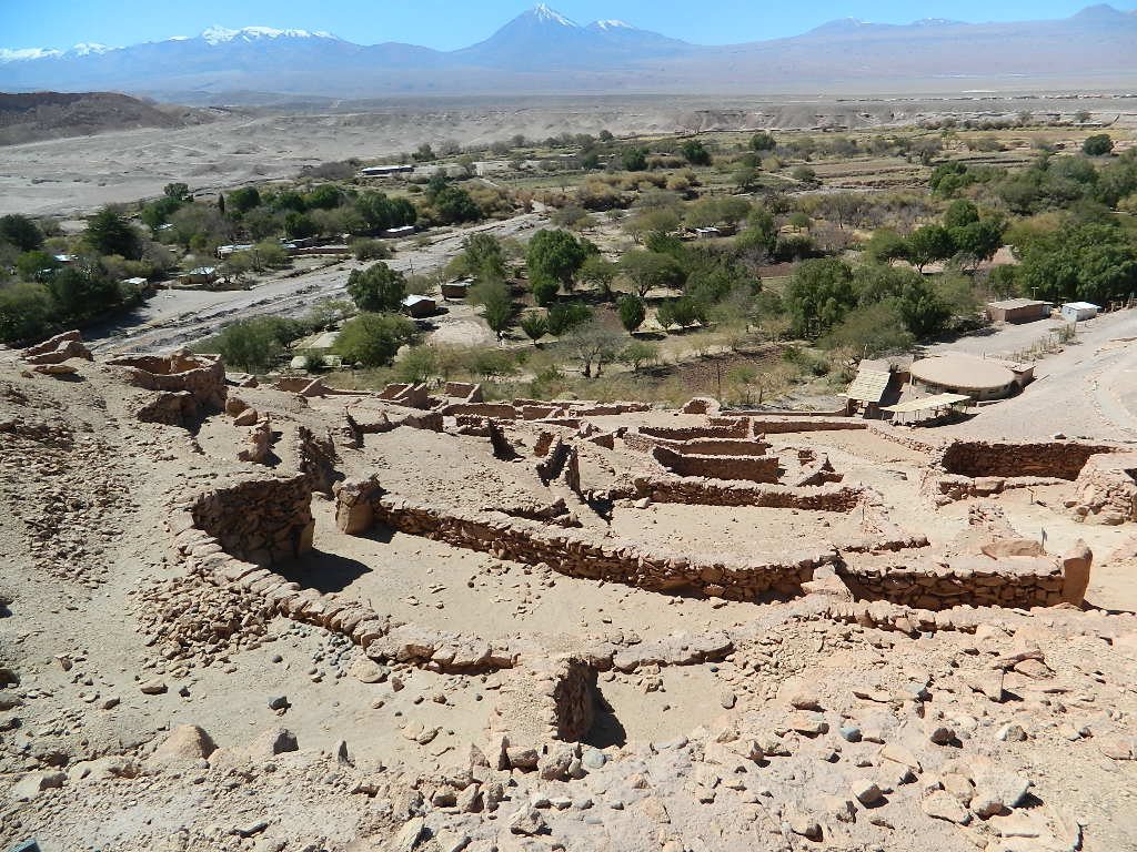
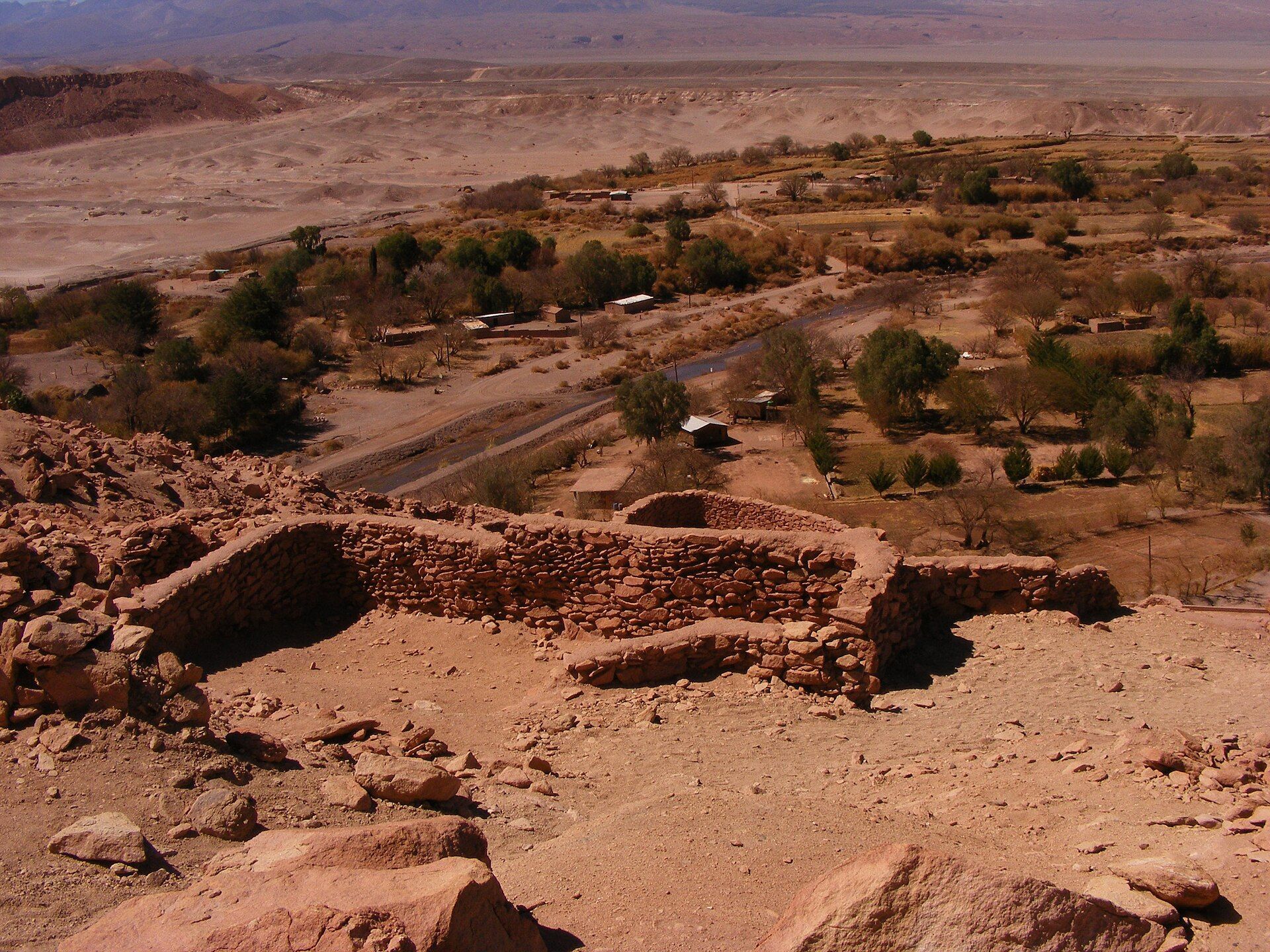
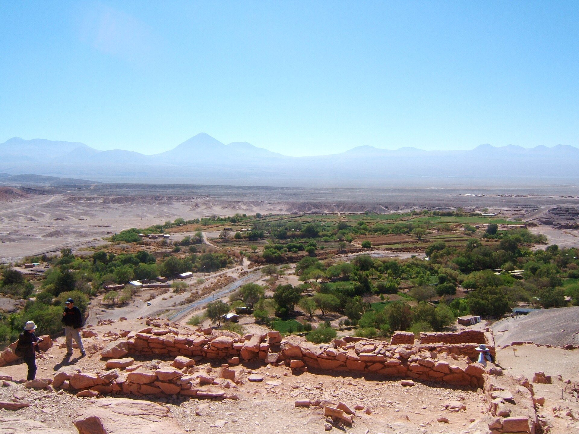
Pukará de Quitor occupies the southern slope of a ravine in the Cordillera de la Sal, at a bend where the San Pedro River, also called the Río Grande, flows. The settlement stands on a steep surface above cultivated fields at the foot of the hill. The ravine lies to the north, while the slope faces east. Terraces extend up the hill across a level difference of about 80 m, and the recorded area covers approximately 2.4 to 2.9 hectares, or about 24,000 square metres.
Defensive walls and lookout positions
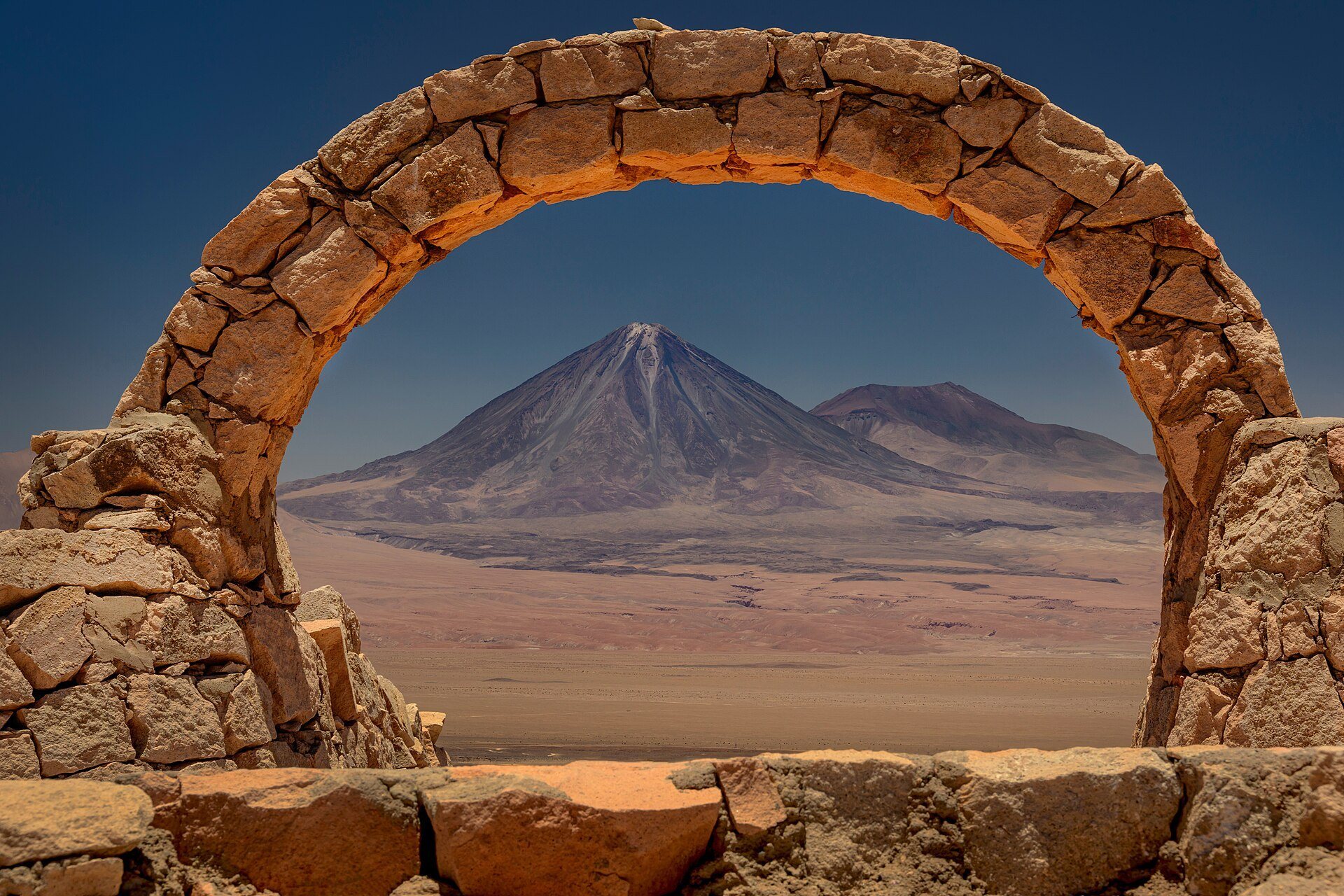
A sinuous defensive wall surrounds the settlement and formed its first line of protection. A major wall on the eastern side crosses the site and measures approximately 121 m in length, about 1.2 m in thickness, and up to 3 m in height on its outer side. The steep slopes added further protection. A central watchtower-like structure provided views of up to 80 km, while other lookout towers were distributed across the settlement. Peripheral defensive enclosures were connected to the main wall.
Stone buildings and storage areas
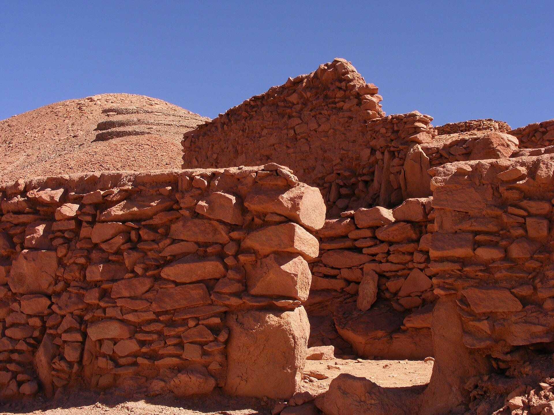
The buildings were made mainly from generally uncut reddish liparite, a fine-grained volcanic rock quarried from the bedrock on which the site stands. Sun and sand can make this stone appear whitish. Separate architectural groups are divided by access routes and open spaces. Inventories identify about 160 features, while broader counts list approximately 200 structures; another description records an ensemble of 164 buildings.
Houses and adjoining silos
The buildings are generally circular or square and usually contain one room, although some have two. Most include a smaller adjoining structure interpreted as a silo, used to store maize, wood, and other provisions. The settlement also contains grain-storage rooms, larger structures probably used as communal spaces, plazas or corrals, and other buildings.
Roof construction
Roofs were flat or only slightly sloped. The documented construction used beams of chañar or algarrobo, branches, ichu grass, and a clay covering, creating roofs suited to the stone buildings arranged across the terraces.