Ahmednagar Fort: A Nizam Shahi Land Fortress in India
Site at a Glance
- Rating
- 4.4
- Popularity
- Medium
- Country
- India
- Primary era
- Early Modern
- Eras represented
- Early Modern
- Civilizations
- Unclassified
- Site type
- Military
- Remains
- Fort
On this page11 sections
History
Ahmednagar Fort is a land fortress in India, near the city of Ahmednagar, founded for the Ahmadnagar Sultanate under the Nizam Shahi dynasty. Its foundation is attributed to Malik Ahmad Nizam Shah I, who established the dynasty and gave his name to the city, although the date of the fort’s beginning remains uncertain. One chronology places its initial construction in 1427, while another assigns it to the late fifteenth or early sixteenth century. The original defenses were made of mud, before major stone fortification began under Hussain Nizam Shah in 1559 and was completed in 1563.
The Nizam Shahi and Mughal periods
The fort served as the headquarters and capital fortress of the Ahmadnagar Sultanate. In February 1596, Chand Bibi, the queen regent, successfully repulsed a Mughal invasion. The Mughals returned under Emperor Akbar, and the fort came under their control during the renewed attack of 1600. A separate chronology places the definitive Mughal conquest of the sultanate in 1633.
Emperor Aurangzeb died near the fort on 3 March 1707, aged 88. After his death, control passed to the Nizams in 1724. The Nizams were the rulers of Hyderabad. The Marathas took possession in 1759, followed by the Scindias, a Maratha ruling house, in 1790.
Maratha and British control
During the instability of the Maratha Empire after the death of Peshwa Madhavrao II, Daulat Scindia obtained the fort and the surrounding region. In 1797, he imprisoned Nana Phadanvis, a senior Maratha statesman and diplomat, at the fort.
Arthur Wellesley, a commander of the British East India Company, defeated Maratha forces during the Second Anglo-Maratha War in 1803. The East India Company then took possession of the fort. Maratha power continued in the region until the British victory in the Third Anglo-Maratha War of 1817 to 1818.
Prison and nationalist history
Under the British Raj, the fort was used as a prison. From 1942 to 1945, after the Indian National Congress adopted the Quit India Resolution, it held Jawaharlal Nehru, Maulana Abul Kalam Azad, Vallabhbhai Patel, and nine other Congress members for almost three years. The resolution called for the end of British rule and was followed by the detention of many Congress leaders.
During his imprisonment, Jawaharlal Nehru wrote The Discovery of India at the fort. Abul Kalam Azad, a Congress leader and Islamic scholar, compiled Ghubar-e-Khatir there. Harekrushna Mahatab, an Odia political leader, compiled three volumes of a history of Odisha during his confinement.
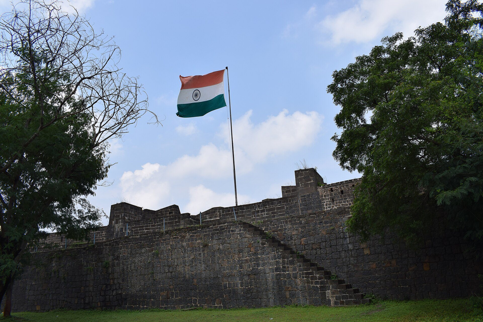
The fort is now administered by the Armoured Corps of the Indian Army and remains under Indian military control.
Remains
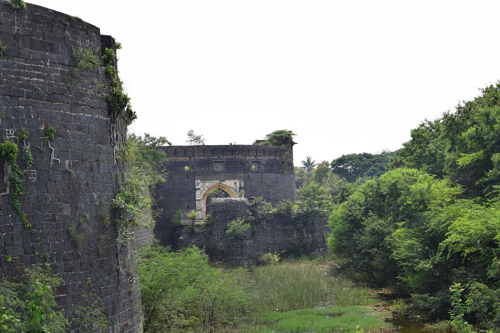
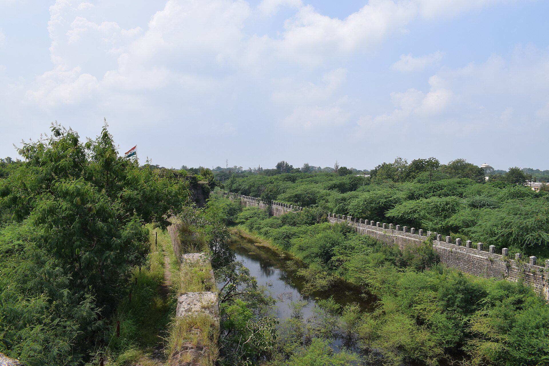
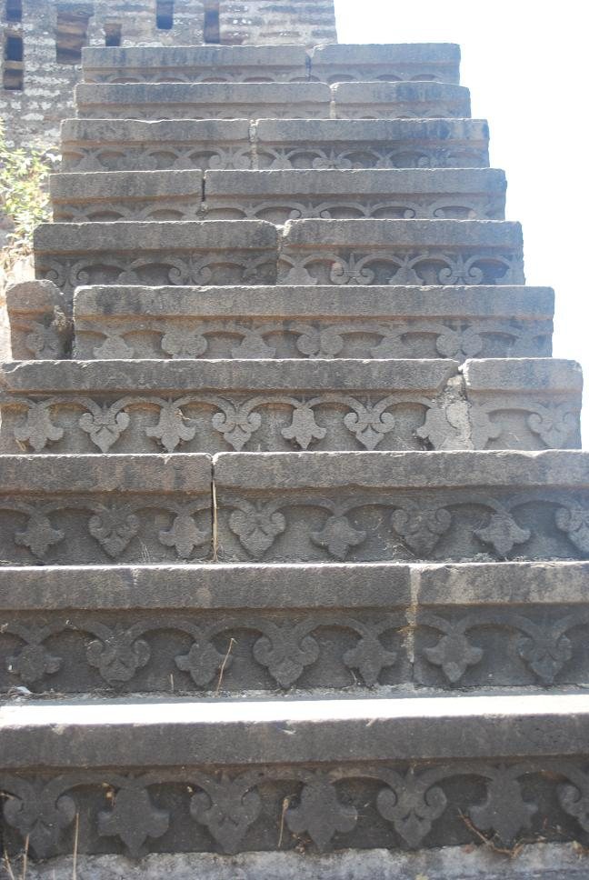
Ahmednagar Fort stands on level ground near the Bhingar Nala, making it a land fort rather than a hill fort. Its generally round plan is enclosed by high stone defenses and a water-filled ditch. Basalt, granite, and lime mortar form the principal construction materials. The walls have numerous bastions, a crenellated parapet, and a winding entrance complex. Some masonry contains stones reused from earlier Hindu buildings.
Walls and defensive works
Rampart and bastions
A description from 1803 recorded twenty-four round bastions around the fort. The rampart was faced with hewn black stone and carried a brick parapet covered with lime plaster. The bastions rose about 4.5 feet, or 1.4 metres, above the rampart. One bastion held eight guns on a raised platform, while the others carried four jingals each. A jingal was a small swivel or wall-mounted firearm used in South Asian fortifications. Two guns were visible in each bastion in 1803, and 200 guns were said to be ready for mounting inside the fort.
Ditch and outer defenses
The stone-faced ditch was about 18 feet, or 5.5 metres, wide and held approximately 9 feet, or 2.7 metres, of water. The water reached within 6 to 7 feet, or 1.8 to 2.1 metres, of the top of the scarp, the steep outer face of the ditch. Long reeds grew through the ditch, while the berm, a narrow level strip between the wall and ditch, measured about one yard across. A sloping glacis, or defensive bank outside a fortification, formed part of the outer defenses.
Entrance and water arrangements
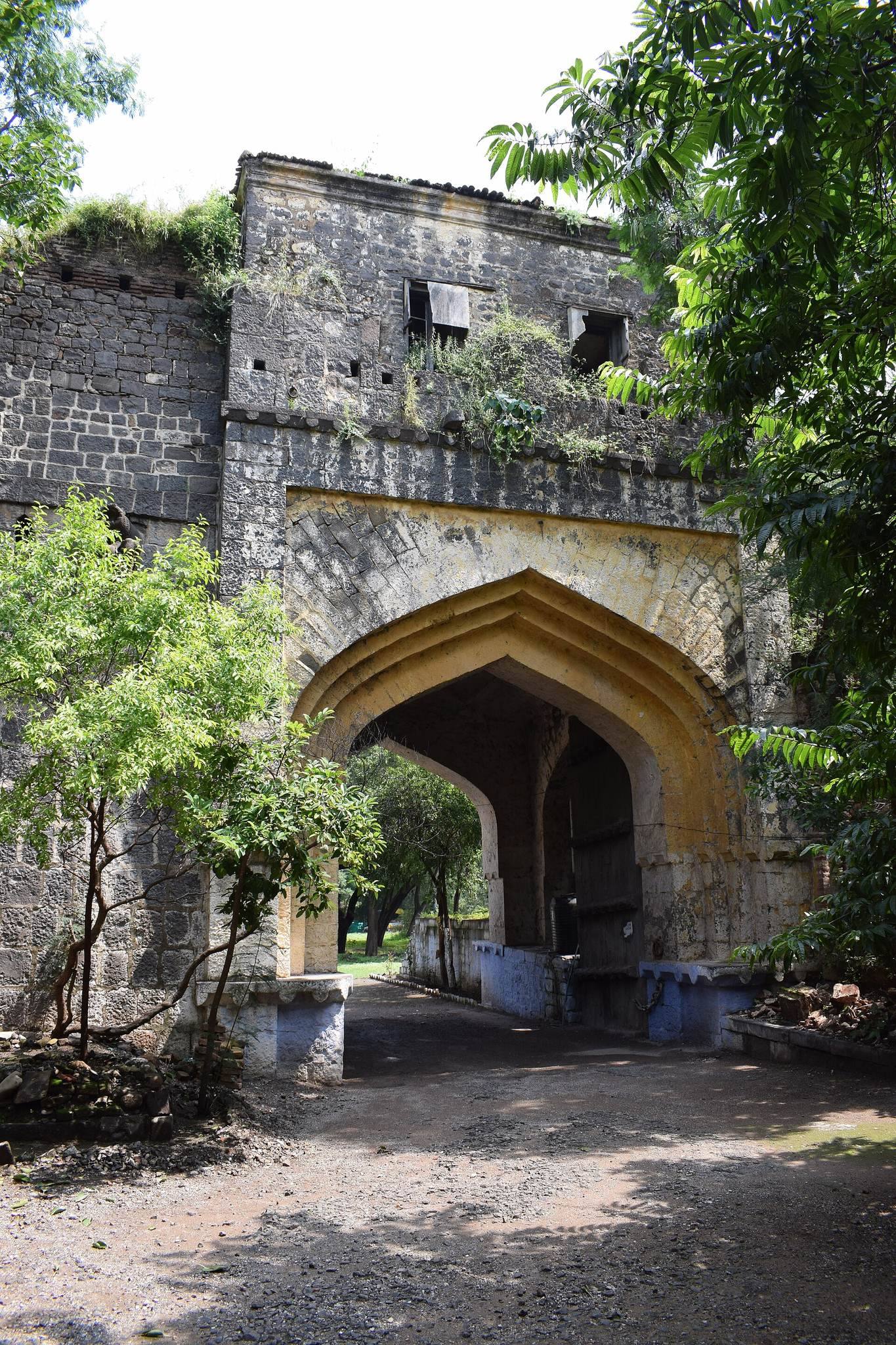
Main gate
The principal gate faced the Pettah of Ahmednagar, the settlement outside the fort, about a gunshot to the west. A small semicircular outwork protected the entrance, which included a traverse and several small towers. A removable wooden bridge crossed the ditch. An iron trough could reportedly be set on the bridge or its supports and filled with charcoal or other combustible material for use during an attack.
Aqueducts and surrounding channels
A small river flowed from the north around the western side of the Pettah and then south of the fort. A steep-sided nullah, a natural or seasonal drainage channel, ran from the north between the fort and Bhingar, about a gunshot to the east, before joining the river. The channel passed within about 60 yards of the fort. A hill or rise near Bhingar provided a position from which siege guns could fire on the fort.
Two covered aqueducts, or enclosed water channels, came from hills at least a mile to the north. They supplied the Pettah and the town before entering the fort beneath or through the ditch. Their wastewater emptied into the ditch. The aqueduct from Bhingar passed beneath the nullah, forming part of the fort’s concealed water-supply system.