Zamkavaja hara in Mstsislaw: The Medieval Citadel of an East Slavic Town
Site at a Glance
- Rating
- 4.7
- Popularity
- Low
- Country
- Belarus
- Primary era
- Medieval
- Eras represented
- Medieval
- Civilizations
- Grand Duchy of Lithuania
- Site type
- Military
- Remains
- Citadel
On this page17 sections
History
Zamkavaja hara was the hillfort and citadel of medieval Mstsislaw in Belarus, an East Slavic settlement on the right bank of the Vikhra River. Its earliest cultural deposits date to the first half of the twelfth century, when the elevated site formed the town’s original center. An outer town stood to the south, enclosed by its own ramparts and ditch, while the citadel served as the principal fortified, administrative, and religious core.
The early settlement
The lower occupation layer represents the first settlement before wooden streets were built. The earliest identified wooden structure dates to 1204. A log-paved street was laid out in the 1230s and 1240s, and building activity intensified during the 1260s. At that time, courtyards enclosed by palisades were established alongside residential and service buildings.
The people of Mstsislaw worked in pottery-making, leatherworking, jewellery production, and other crafts. The town traded with Kyiv and Volhynia, and had indirect connections with the Arab East through the Caucasus. These links placed the citadel within a wider network of medieval exchange, while its buildings and streets supported a dense urban community.
Rebuilding and the Mstsislaw castle
A fire destroyed most of Mstsislaw’s buildings at the beginning of the fourteenth century. The settlement was rebuilt with a different layout, and a castle was constructed on the site of the earlier citadel during the fourteenth century. The rebuilt center included religious buildings as well as new defensive works.
Written records identify two churches within the citadel, one dedicated to the Mother of God and the other to Saint Nicholas. Fragments of thin, broad medieval plinth brick belong to the church of the Mother of God. The defensive tower-donjon, the principal strong tower of a fortress, is probably associated with Saint Nicholas. Its form has contributed to the interpretation that defensive churches existed in Belarus before the fifteenth and sixteenth centuries, when similar churches were built of wood.
Destruction and archaeological investigation
The citadel was destroyed in 1654 during the assault on Mstsislaw by the Russian voivode, a high-ranking military and administrative commander, A. M. Trubetsky. Finds from the fourteenth to seventeenth centuries preserve evidence of the settlement’s later life and military activity before that destruction.
Zamkavaja hara was surveyed by E. R. Ramanau in 1893, A. M. Liaudanski in 1925, S. A. Dubinski in 1928, and M. A. Tkachou in 1978. Excavations led by L. V. Alekseev between 1956 and 1985 exposed more than 1,200 square metres, and archaeological study is also recorded from 1959. I. A. Marzaliuk directed further excavations in 2014. The site is identified by the designation 512V001057.
Remains
Citadel setting and fortifications
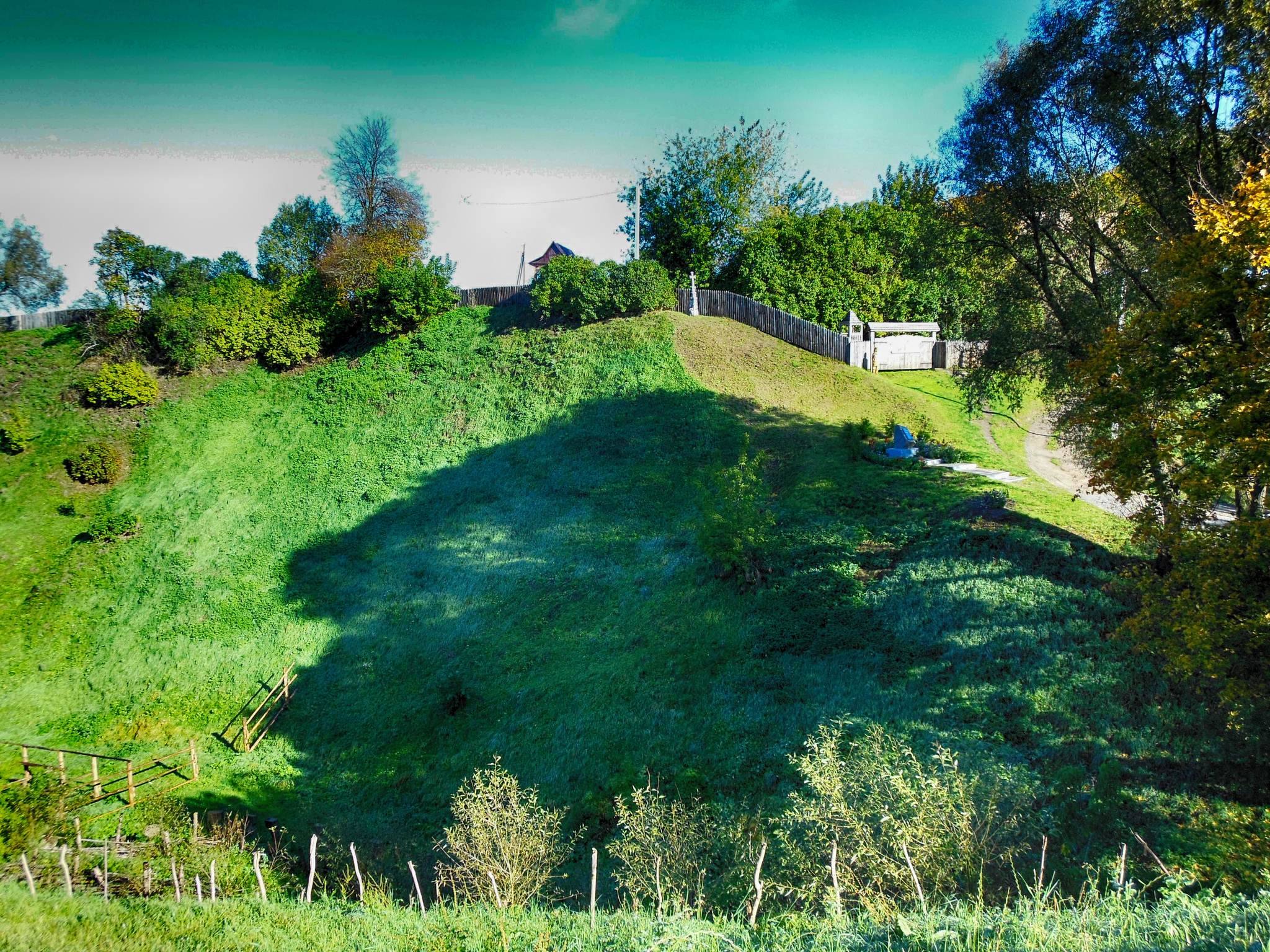
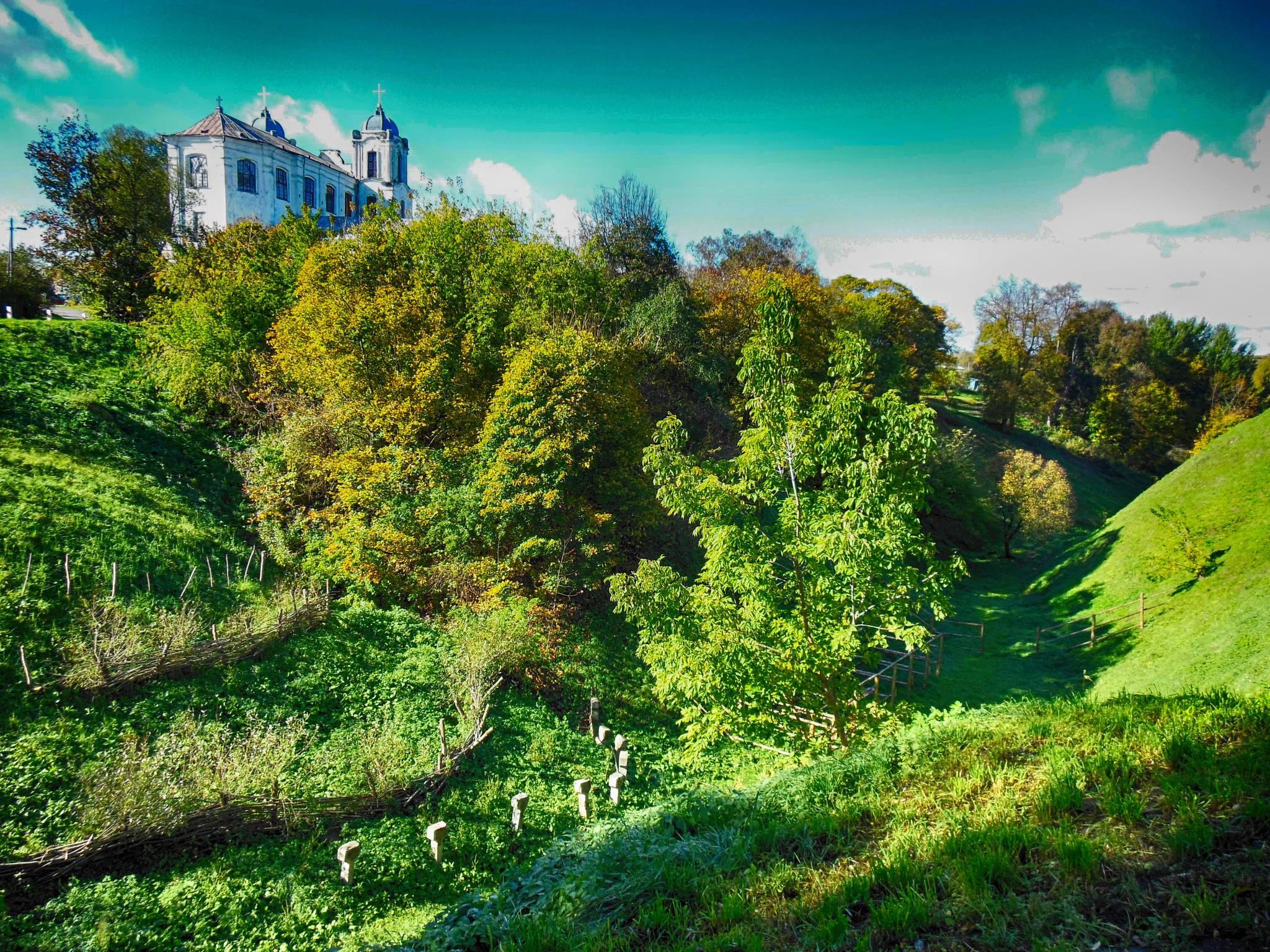
The citadel occupied an elevated area between deep ravines on the right bank of the Vikhra River, about 20 metres above the water. A stream bordered it on the north, and the outer town lay to the south. The irregularly rounded citadel covered approximately 1.5 to 2 hectares. A ring-shaped earthwork rampart enclosed the perimeter, with the southeastern section surviving. Archaeological evidence places the entrance on the southern side, although the surrounding fortifications are now poorly preserved.
Settlement layers and streets
Lower occupation horizon
The cultural layer reaches about 3.3 metres in depth and is divided into three principal horizons. The lower horizon lies 0.8 to 0.9 metres above the natural soil and contains remains of the earliest settlement, including wooden structures. A burial ground belonging to Mstsislaw’s first inhabitants occupied the northern part of the citadel. Burned remains from destroyed buildings also occur in this layer.
Wooden-paved streets
The middle horizon contains deposits associated with wooden street pavements. Two intersecting streets paved with logs have been identified, preserving part of the planned circulation system of the medieval settlement.
Upper occupation horizon
In the upper horizon, the western side of a north-south street was densely occupied by log structures. One building had a floor and an adobe oven. On the eastern side stood a quadrangular chapel with an altar and burials inside. The boundaries of individual courtyards were marked by pointed palisades, showing how domestic plots were divided within the citadel.
Religious and defensive buildings
Church of the Mother of God
Fragments of plinth brick represent the remains of the church dedicated to the Mother of God. The brick dates from the late twelfth or early thirteenth century and belongs to a masonry religious building within the citadel.
Saint Nicholas church and defensive tower
The remains of an octagonal defensive tower-donjon were found at the highest point of the citadel. The tower may have contained the church of Saint Nicholas. Its combination of religious and defensive possibilities connects the surviving structure with the early history of fortified churches in Belarus.
Craft production and excavated objects
Early medieval finds
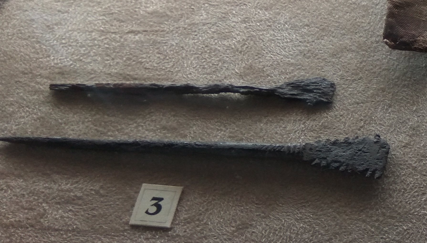
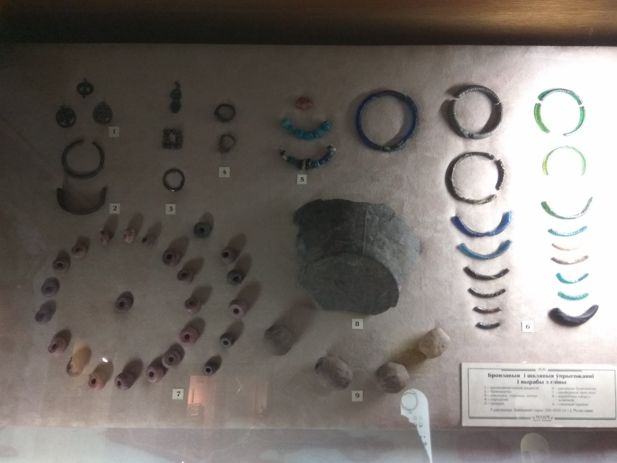
Objects from the twelfth and thirteenth centuries include pendant ornaments shaped like icons, a signet ring bearing a cross, and a bronze cross-shaped encolpion, a reliquary made to hold sacred relics. The encolpion dates from the late twelfth century and bears the inscription “Mother of God, help.” A fragment of birch-bark writing, writing styli marked with the letters “NTA,” “Zh,” and “RV,” and wooden and bone chess pieces representing a pawn and a rook reflect written culture and leisure activity. Other finds include fragments of a glass goblet with an Arabic inscription, broken bells, and the bent tip of a large spear dating from the twelfth or thirteenth century.
Later craft and military remains
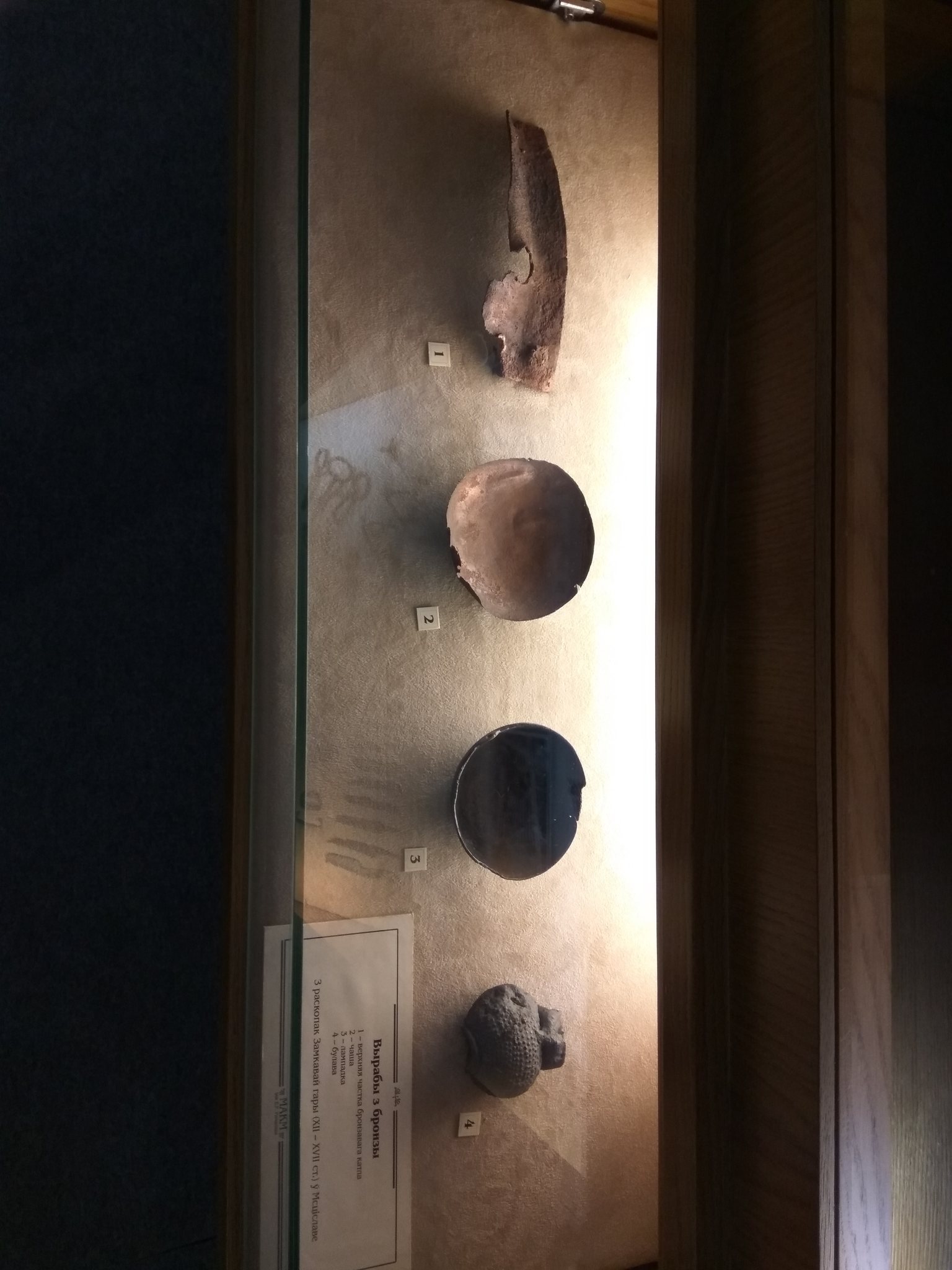
Deposits from the fourteenth to seventeenth centuries contain fragments of black-polished glazed and glass vessels, terracotta and polychrome glazed tiles, clay egg-shaped objects, and iron and bone items. Crossbow parts, crucibles, casting moulds, cannonball fragments, and six arrowheads dating from the first half to the middle of the seventeenth century provide evidence of craft production and military activity. A leatherworking workshop yielded pieces of leather and bone appliqués for a quiver decorated with zoomorphic and geometric designs.
The 2014 house
The house excavated in 2014 probably belonged to a wealthy townsman or formed part of a princely courtyard. Its finds included a small spindle whorl scratched with the letters “ksi,” “A,” “I,” and “L,” a gold-decorated fragment of a Byzantine goblet, and reliquary crosses dating from the twelfth to the first half of the thirteenth century. Fragments of leather footwear, women’s jewellery, weapons, and a piece of birch bark marked with a princely trident were also recovered.