Shahr-e Gholghola: The Fortified City of Bamiyan
Site at a Glance
- Rating
- 4.5
- Popularity
- Very Low
- Country
- Afghanistan
- Primary era
- Medieval
- Eras represented
- Medieval
- Civilizations
- Khwarazmian
- Site type
- City
On this page8 sections
History
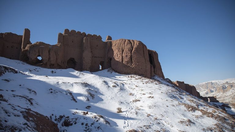
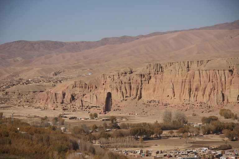
Shahr-e Gholghola is a historic Islamic settlement and fortress in Afghanistan, near the modern city of Bamiyan, whose urban development began in the sixth century and whose later fortified ruins are generally associated with the thirteenth century. Known as the City of Uproar or City of Cries, it served as Bamiyan’s principal settlement from approximately the sixth to the tenth century and functioned as the territory’s Islamic capital, with political, military, and economic importance.
Early settlement and fortified development
The site reflects two major phases. An earlier city was established in the sixth century, while the surviving fortress complex represents a later period of fortification. Archaeological investigations have recovered ceramics dating mainly from the late twelfth and early thirteenth centuries, with the oldest excavated material dating to the late tenth century.
The Mongol siege of 1221
In 1221, during the Mongol pursuit of Jalal al-Din Mangburni, the last ruler of the Khwarazmian Empire, Shahr-e Gholghola was besieged. The Khwarazmian Empire was a major Islamic state centred in Central Asia and Iran before the Mongol conquest. Mutukan, a Mongol prince who was Genghis Khan’s grandson and the eldest son of Chagatai Khan, was killed during the fighting, reportedly by an arrow fired from the besieged fortifications.
Mutukan’s death led Genghis Khan, founder and first great khan of the Mongol Empire, to order the city’s complete destruction and the massacre of its inhabitants and people in the surrounding region. Bamiyan’s ruler, Jalaluddin, initially defended the fortress. He was later betrayed by his daughter, who became angry after her father’s remarriage and revealed a secret entrance, reportedly hoping to receive an engagement with the Mongol ruler in return. Shahr-e Gholghola was not resettled until several decades after its destruction.
Archaeology and continuing damage
Since 2003, Shahr-e Gholghola has formed part of the UNESCO World Heritage cultural landscape of the Bamiyan Valley. UNESCO, the United Nations Educational, Scientific and Cultural Organization, commissioned the French Archaeological Delegation in Afghanistan in 2013 to conduct test excavations and archaeological investigations before restoration work by the International Council on Monuments and Sites. Excavations and surveys west of the city continued in 2014, followed by a third mission in 2015 that extended the surveys and examined the recovered ceramics.
The site was dynamited by a jihadist group in 2019. Repeated looting, erosion linked to stronger rainfall and climate warming, and the risk of collapse continue to threaten parts of the ruins.
Remains
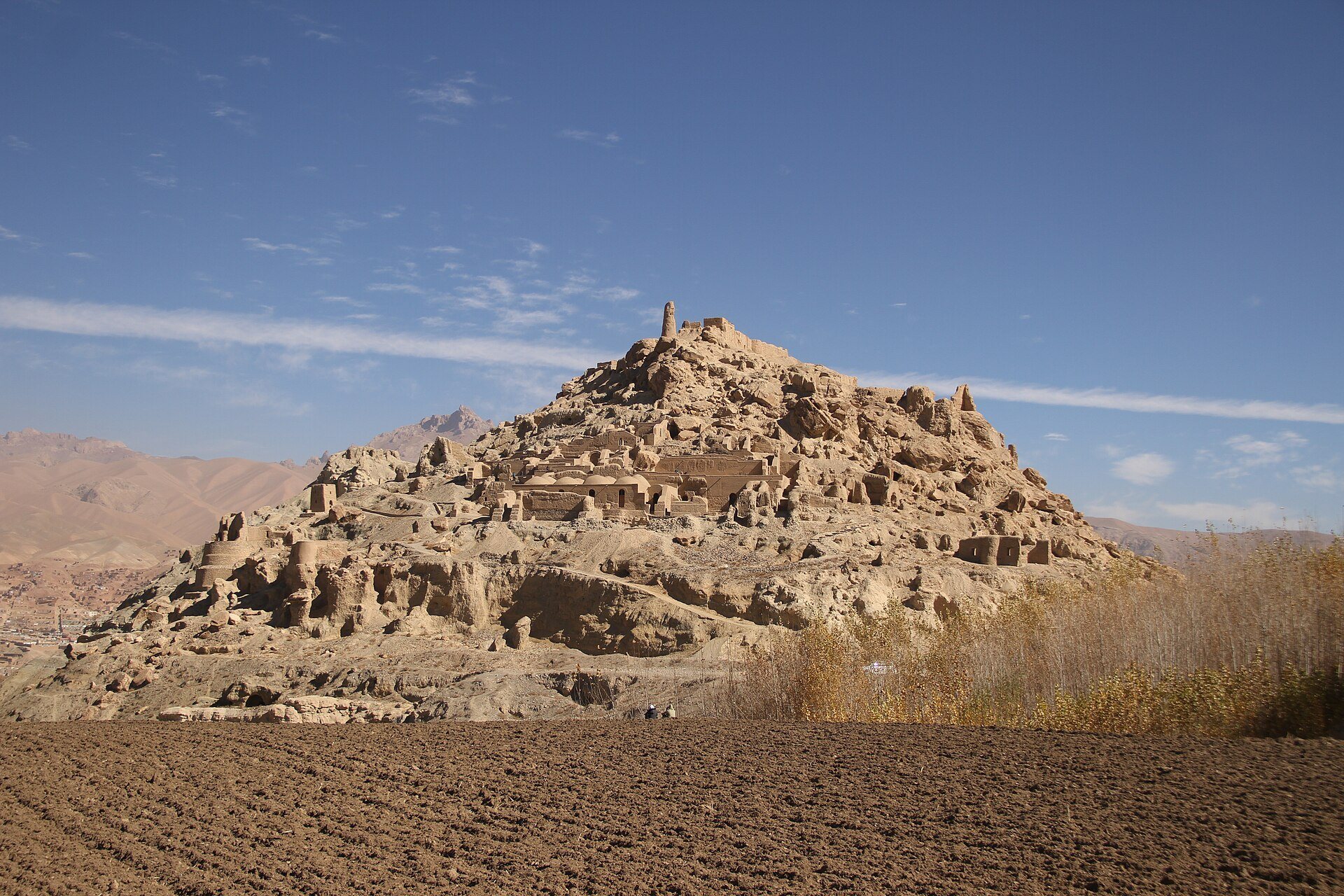
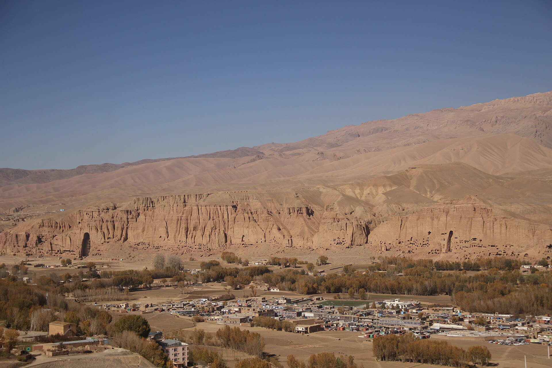
Shahr-e Gholghola occupies a hill near Bamiyan in the Bamiyan Valley, at an elevation of approximately 2,400 to 2,600 metres. The fortified city was arranged in several districts linked by defensive walls. These districts rose across successive terraces, most of which followed the hill’s natural topography rather than relying on constructed retaining walls.
Terraces and underground spaces
Caves beneath the terraces served as storerooms, cisterns, and, in some cases, dwellings. Their position beneath the stepped districts formed part of the city’s practical adaptation to the hill and provided spaces for storage, water management, and residence within the fortified settlement.
Western residential complex
A large residential complex occupied the western side of the city and overlooked the valley. At its centre was a courtyard surrounded by four iwans, large vaulted halls or recessed spaces open on one side that are characteristic of Islamic architecture.
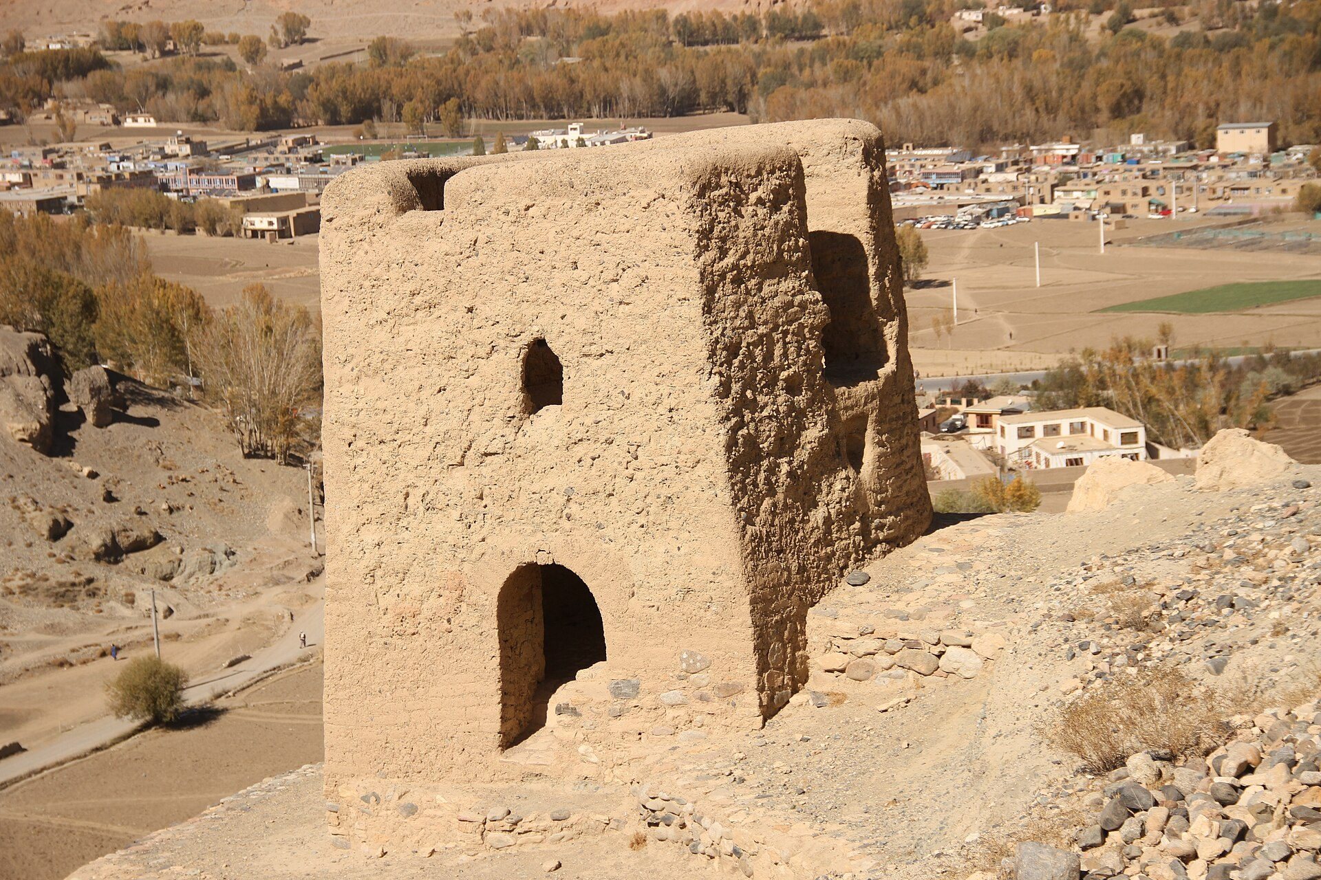
Defensive wall and towers
Excavations west of the city uncovered a defensive wall approximately 2 metres thick. The wall connected several defensive towers and formed part of the system that linked the city’s districts across the hill.