Fuerza de San José: A Seventeenth-Century Spanish Fortification in Banton
Site at a Glance
- Rating
- 4.5
- Popularity
- Very Low
- Country
- Philippines
- Primary era
- Early Modern
- Eras represented
- Early Modern
- Civilizations
- Spanish
- Site type
- Military
- Remains
- Fort
On this page8 sections
History
Early Spanish Settlement and Mission
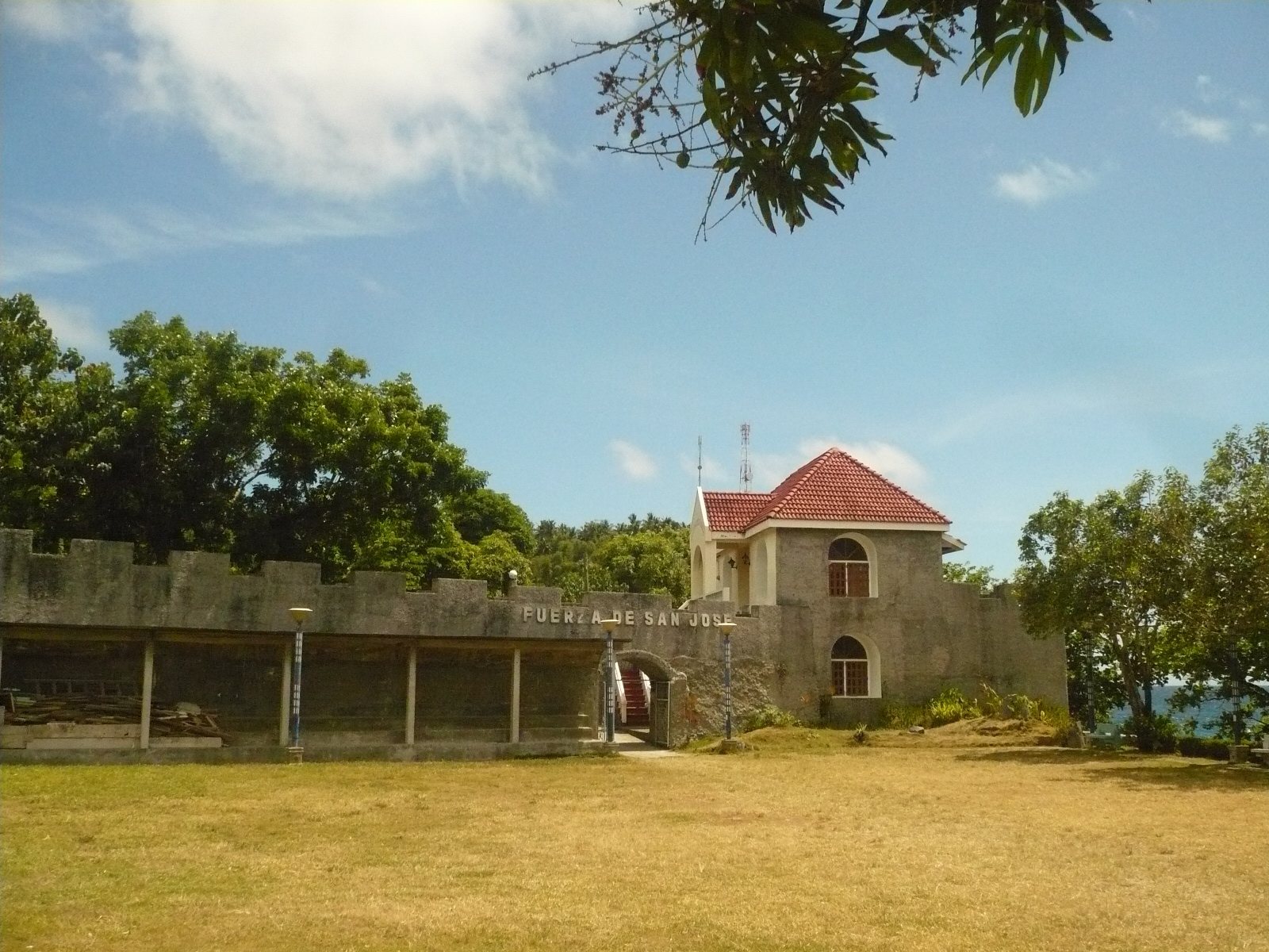
Fuerza de San José is a seventeenth-century Spanish fortification in Banton, Philippines, built during the early Spanish period to defend the island’s coast and a fortified religious settlement. It formed part of an older defensive system with Fuerza de San Andrés and Fuerza de Santiago, established under Agustín de San Pedro to protect the islands of the Sibuyan Sea, particularly from Muslim raids launched from the southern Philippines.
Spanish settlers established a small village southwest of the present urban center in the early seventeenth century. It became the first formally established settlement in the archipelago and in what is now Romblon Province. Later settlements in the region remained under Banton’s jurisdiction until Romblon village was founded in 1631. At that time, Banton belonged to Capiz Province.
In 1622, administration of the area passed to Augustinian friars, members of a Catholic religious order whose missions combined religious work, local administration, and frontier defense. Their efforts to organize local and Spanish inhabitants against raids from southern Mindanao were soon disrupted by violent attacks. Pedro de San José, head of the first Augustinian mission in the region, was forced to flee into the inland mountains.
Construction of the Fort
After learning of the danger, the Augustinian superior Juan de San Antonio presented fortification plans to Spanish military authorities. He sent Agustín de San Pedro, an Augustinian friar known as El Padre Capitán, or Father Captain, to lead the mission in Romblon. San Pedro combined religious leadership with military organization and began constructing defenses, including fortified churches on two islands during the 1640s.
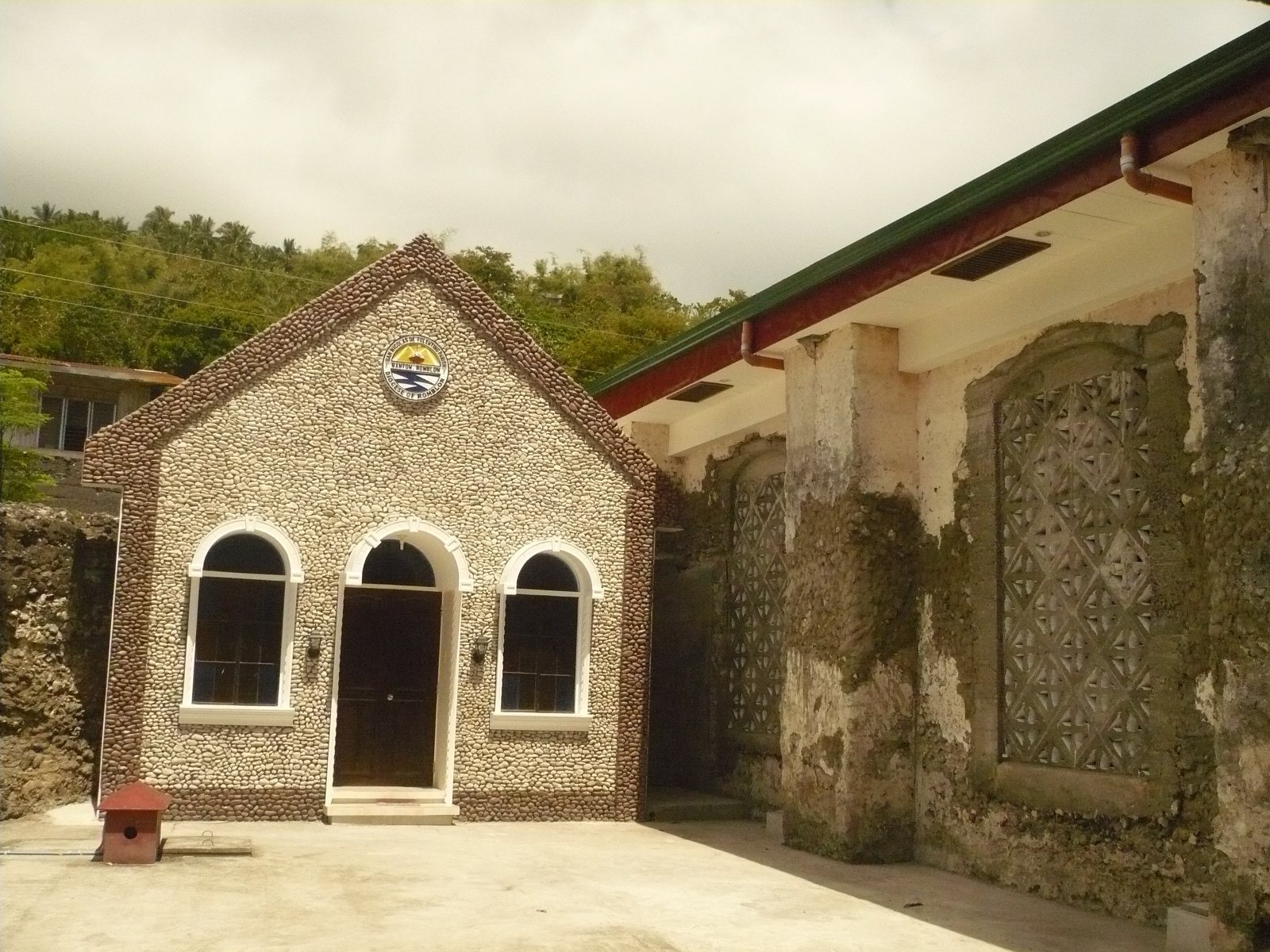
Fuerza de San José was built in 1644 and 1645 to protect the church and adjoining convent at Banton. The fortified church was completed in 1645 and dedicated as the Parish Church of San Nicolás de Tolentino in 1648. Its construction emphasized resistance to raids and practical defense rather than architectural display. The enclosure was named for Saint Joseph, whom Catholic tradition regards as the protector of the Church.
Defense and Colonial Administration
The fort played a major part in Banton’s defense during the first decades of Spanish rule and became associated with numerous battles. A narrative in the 1870 Memoir of Panay describes a fleet sailing from Jolo, an island in the Sulu Archipelago, to attack Banton. According to that account, Agustín de San Pedro ordered eight attacking karakoas, large Philippine maritime vessels used in warfare and raiding, to be burned in shallow coastal waters. The remaining vessels withdrew, and the episode was later credited with nearly ending Muslim piracy on the island.
In 1648, the Spanish encomienda system, a colonial system of authority and tribute administration, was dismantled in the region. A separate political-military province of Romblon was created, combining civil and military responsibilities, and Banton became part of it.
Modern Protection
In 2021 and 2022, plans for a park at the fort were halted after the National Historical Commission of the Philippines determined that the project could threaten the structure’s integrity. The fort was also scheduled to receive a commission historical marker in 2022, although the official sign had not been installed because of the COVID-19 pandemic and other circumstances. Fuerza de San José is among the protected buildings covered by Article 3 of the 2009 National Cultural Heritage Act. In Banton, the fort is regarded as a symbol of the island’s greatness, resistance, initiative, and courage.
Remains
Fortified Church Enclosure
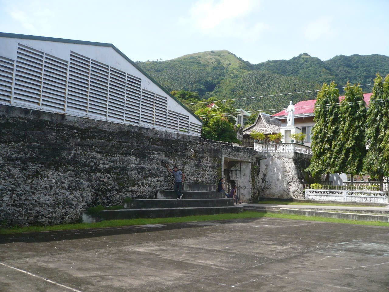
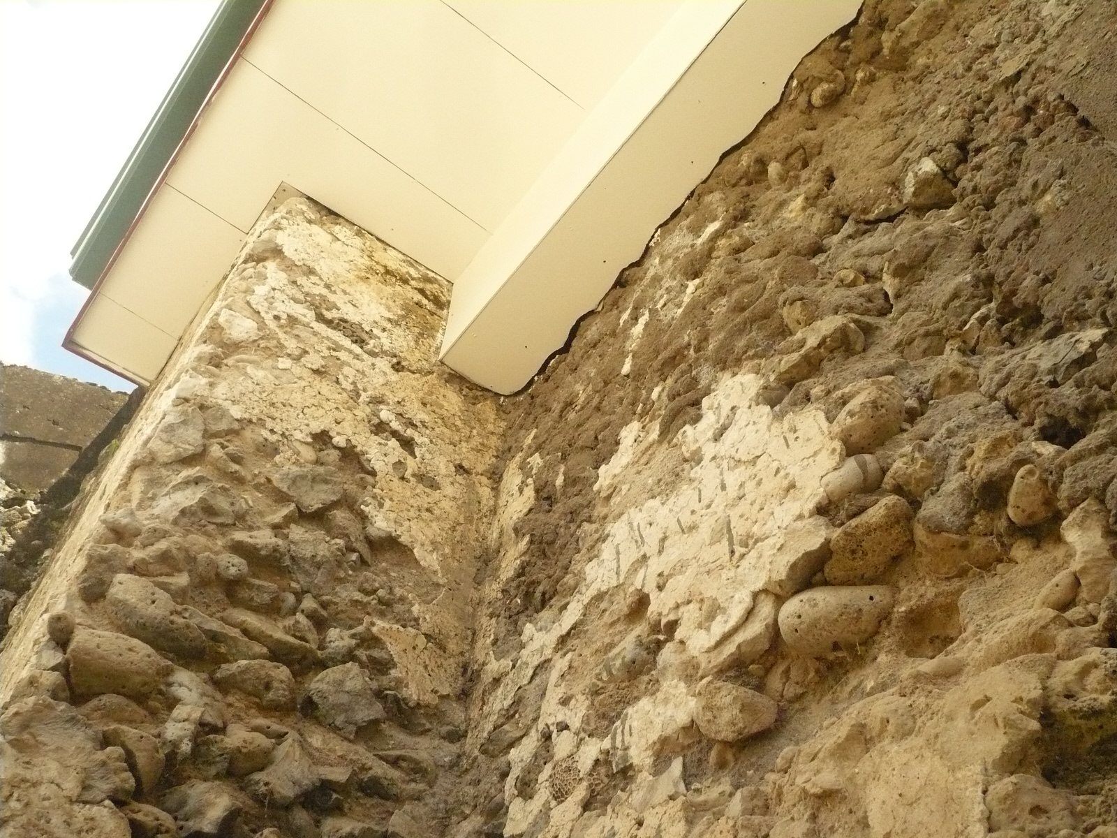
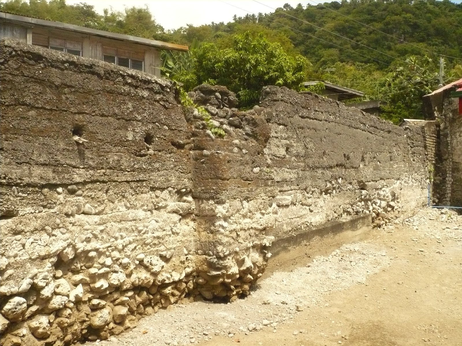
Fuerza de San José has an isosceles-triangular plan. Its defensive walls are stated to be 4.58 meters high, 11.17 meters long, and 2.08 meters thick. They are built from coral-stone blocks, a locally abundant material, bonded with lime mortar. Precise construction methods strengthened the enclosure, which surrounded the church and adjoining convent and had watchtowers at its corners.
The upper wall walk allowed personnel to move around the fort, while twelve cannons of different calibers could be positioned along it. Cannon embrasures, openings through which cannons or firearms could be operated, were incorporated into the walls and are described as unusual for the period. A deep well within the enclosure supplied water independently, and additional facilities accommodated people seeking refuge during Muslim incursions.
Hill Watchtower
A tower was built north of the church on the summit of a hill. From this position, it overlooked much of the Sibuyan Sea, Banton’s harbor, the route to and from the southern archipelago, and Matagar Point, an arrowhead-shaped rock formation used as a navigational landmark. The tower extended the defensive system beyond the walled church enclosure by providing observation over the surrounding sea approaches.