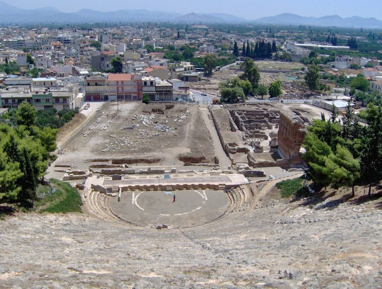
Castle of Kiveri: A Medieval Fortress on the Road to Argos
Site at a Glance
- Popularity
- Very Low
- Country
- Greece
- Primary era
- Medieval
- Eras represented
- Medieval
- Civilizations
- Crusader, Principality of Achaea
- Site type
- Military
- Remains
- Castle
On this page10 sections
History
Castle of Kiveri is a ruined medieval fortress on Pontinos hill in Greece, built under Frankish (western European Latin Christian) rule in the late thirteenth or early fourteenth century to control the road approaching Argos from the south. Its name comes from the settlement below, called Kiveri in the Middle Ages and later renamed Myli. The modern village of Kiveri lies about three kilometres to the south.
Sanctuary and earlier traditions
In the second century, the Greek writer Pausanias described a sanctuary of Athena Saitis on Pontinos, already in ruins by his time. Tradition attributed its construction to Danaus, a figure in Greek mythology, while its origins are thought to date to the Hellenistic period, conventionally dated from 323 to 30 BCE. Neith, an Egyptian goddess associated with the city of Sais, was also worshipped there and identified with Athena in her role as a war goddess. Pausanias also described nearby foundations as the house of Hippomedon, a hero in the Greek myth of the Seven Against Thebes.
Frankish rule and medieval transfers
Geoffrey I of Villehardouin conquered the Argolis between 1209 and 1212. His family held Argos and Nauplia for 99 years as a fief, a grant of land held in return for service. The castle was established under Villehardouin rule to oversee the route toward Argos. In 1311, the Duchy of Argos and Nauplia passed to Walter VI of Brienne. His will of 1347 provides the castle’s first known written reference, under the name Chamires.
Maria d’Enghien sold the duchy to Venice in 1388, but before the Venetians completed their takeover, Theodore I Palaiologos, the Byzantine ruler of Morea, occupied the castles of Argos and Kiveri. In 1389, Nerio I Acciaiuoli, Theodore’s father-in-law, was captured to secure their surrender. Nerio was freed after promising to persuade Theodore to hand over the castles and giving further assurances. Theodore surrendered them in 1394.
Venetian and Ottoman rule
Ottoman sultan Mehmed II conquered much of the Peloponnese in 1458 and 1460, and the Argolis in 1463, but Kiveri remained Venetian. During the conflict between Venice and the Ottoman Empire known as the Second Ottoman–Venetian War, the castle was neglected. A treaty in 1481 left it in Venetian hands but barred its restoration. Sultan Suleiman I took the southeastern Argolis in 1540 but did not repair Kiveri, and the castle was not rebuilt. Venice held it again from 1688 to 1715, after which it came under Ottoman rule.
Greek control and later interpretations
The castle came under Greek control in 1821. Four years later, it served as a refuge during the Battle of Myli, in which Ottoman commander Ibrahim Pasha was defeated. Travellers in the eighteenth and nineteenth centuries called it the “Castle of Helen” or attributed it to Temenus, a figure from Greek legend, whom they imagined building it to capture Argos, then associated with the legendary ruler Tisamenus.
Remains
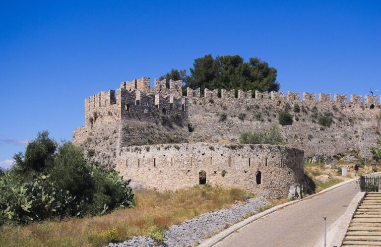
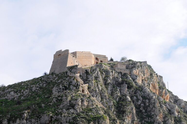
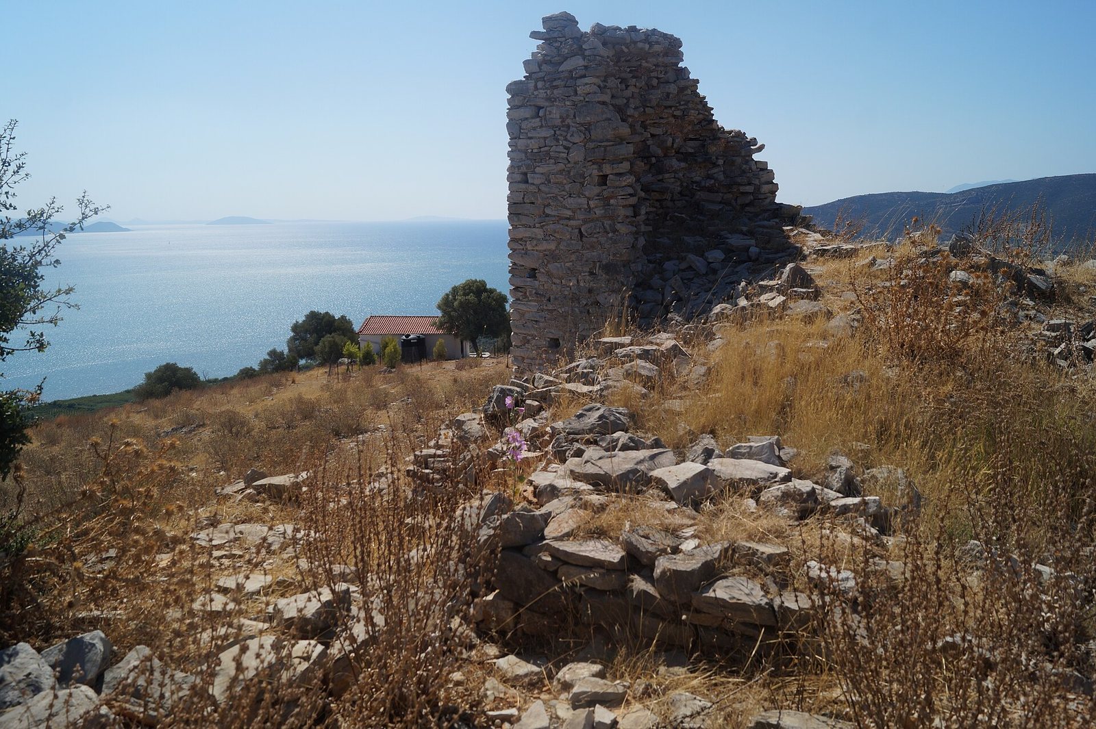
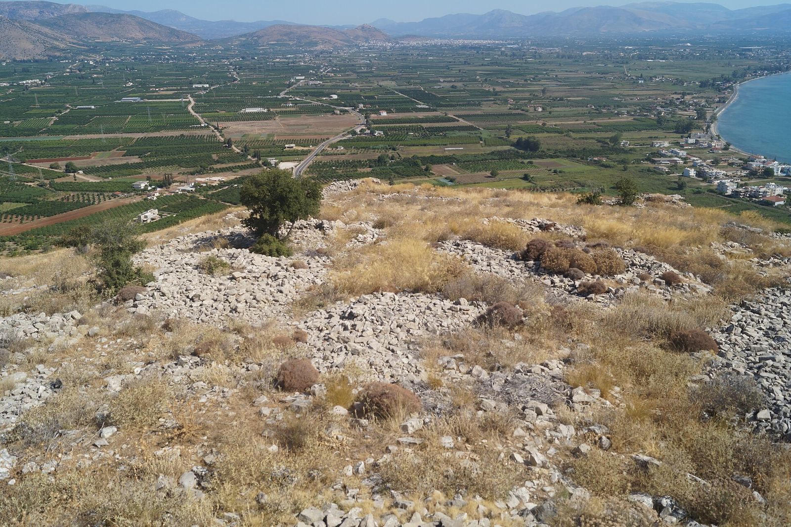
The ruined rock castle occupies the summit of Pontinos, a hill about 139 metres high, roughly 300 metres west of Myli. Its layout consists of a summit enclosure and a larger outer bailey, an outer fortified area adjoining a castle’s main enclosure, to the north. The walls and towers were built of roughly dressed local limestone set in mortar.
Summit redoubt
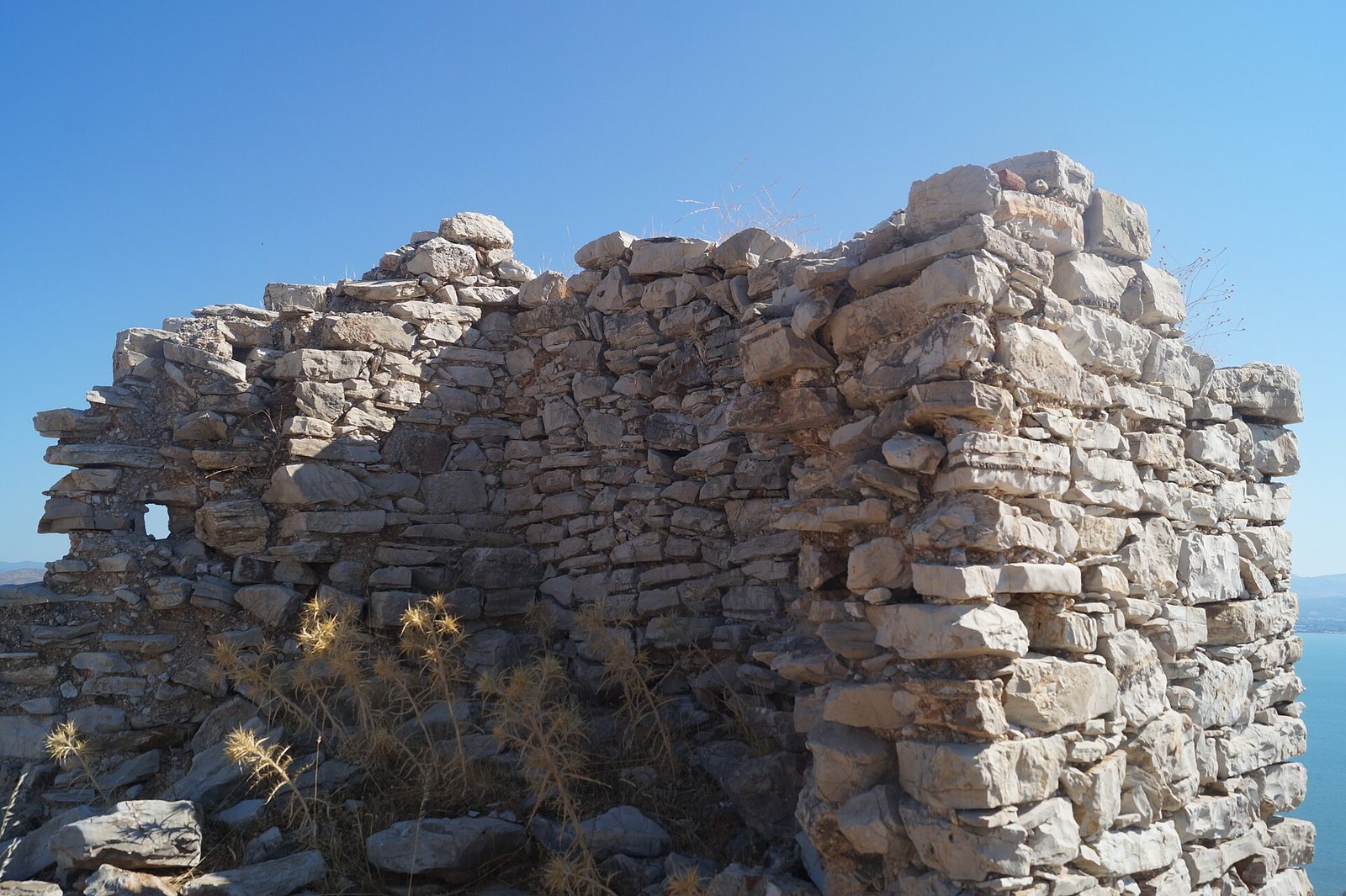
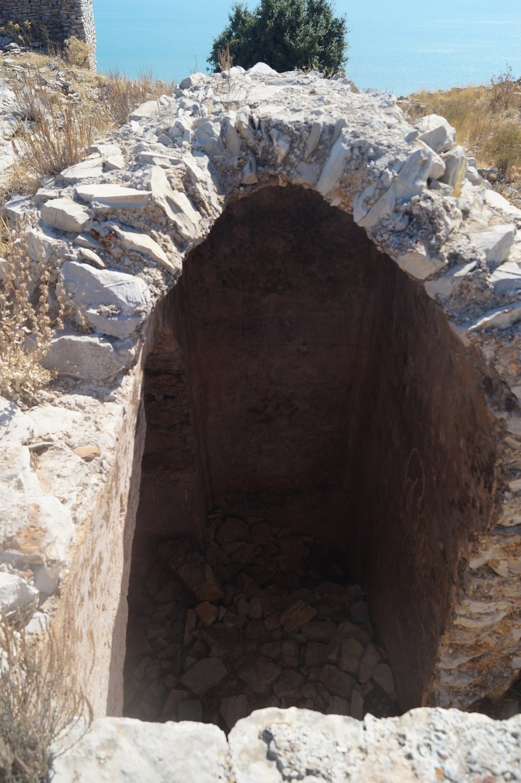
A redoubt, an enclosed defensive work, occupied the highest point. Hexagonal in plan, it covered about 1,000 square metres and measured roughly 40 metres across, with a tower at each corner. The entrance was probably between the southwestern and southern towers. Two cisterns remain near the centre. A square keep, the castle’s principal fortified tower, once stood above the western cistern; it measured nine metres on each side, with walls 1.35 metres thick. When Jean Alexandre Buchon visited in the nineteenth century, the keep still rose several storeys. The towers vary in size, form, and construction. At the southwestern and northern towers, mortar has crumbled into sand, apparently because it was too lean.
Outer bailey
The roughly pentagonal bailey measures about 130 metres east to west and 85 metres north to south, covering approximately 8,500 square metres. Its curtain wall, the defensive wall linking towers, is about 300 metres long and two metres thick. It joins the redoubt’s northwestern and northeastern towers, though whether the two enclosures were connected remains uncertain. Eight towers defended the bailey wall. Most were rectangular, about 2.6 by four metres, projected 2.5 to three metres from the wall, and stood roughly 25 to 45 metres apart. The southwestern tower slopes outward, while the others have upright masonry.
Buildings and hillside features
Ruins of numerous small buildings survive inside the bailey. At its easternmost and lowest point, about 25 metres below the summit, are the foundations of a small church measuring approximately ten by 5.5 metres. Its apse, the rounded end of a church sanctuary, faces roughly east. A modern chapel dedicated to Profitis Ilias stands about 70 metres southeast of the redoubt. Rectangular foundations on the mountainside north of the bailey are thought to be the remains of windmills.
Excavated finds
Excavations recovered pottery sherds and a silver coin of Isabelle de Villehardouin, identified as the last feudal ruler of Argos and Nauplia.