Belomorsk Petroglyphs: A Prehistoric Rock-Art Complex in Karelia
Site at a Glance
- Country
- Russia
- Primary era
- Stone Age
- Eras represented
- Stone Age, Bronze Age
- Civilizations
- Unclassified
- Site type
- Civic
- Remains
- Rock Art
On this page10 sections
History
The Belomorsk petroglyphs are a prehistoric rock-art complex on islands in the lower Vyg River in the Republic of Karelia, Russia. Its engravings are generally dated to the fourth and third millennia BC, while archaeological sites in the wider complex represent activity from the Mesolithic through the Middle Ages. The complex includes more than 30 prehistoric settlement sites alongside its rock carvings.
Dating the engravings
The carvings cannot be dated directly. Estimates draw on their style and on the gradual rise of the land, which reveals when a rock surface first emerged from the sea. Many researchers consider it likely that people carved the exposed surfaces soon after they appeared.
In 1938, archaeologist Vladislav Ravdonikas estimated the engravings to be about 4,000 years old. A team led by Yuri Savvatejev proposed a range of 4700–3300 BP, or 3520–1530 BC in calibrated calendar dates. BP means “before present,” counted from 1950. More recent estimates by A. M. Žulnikov and Nadežda Lobanova place the carvings at 6000–5000 BP, or about 4000–3000 BC.
Excavated finds from Besovy Sledki date to 4350–3090 BC, and finds from Erpin Pudas to 5560–4180 BC. Hearth bases found near Zalavruga date to 2840–2450 BC. These dates apply to the excavated material, not directly to the engravings.
Discovery and archaeological study
In 1926, local residents told ethnologist Aleksandr Linevskii about the carvings. He recorded a group on Besovy Sledki island and published his findings in 1939. During the 1930s, Ravdonikas documented further engravings at Besovy Sledki and Erpin Pudas, and identified the Staraja Zalavruga field on Bolšoi Malinin island. His two-volume study, published in 1936–1938, included about 600 images and brought wider attention to the complex.
Plans for a hydroelectric station prompted investigations between 1957 and 1970. These identified more than 100 ancient settlements or archaeological sites, with evidence spanning the Mesolithic to the Middle Ages, and revealed 26 previously unknown engraving groups at Novaja Zalavruga. Savvatejev found additional groups on small river islands and at Erpin Pudas in 1968–1969, then published a major study of the complex in 1970.
Further fieldwork by Jan Gjerde in 2003 and 2004 brought new figures to light. Lobanova later found additional figures within earlier engravings at Staraja Zalavruga and identified the Zolotets field near an excavation area. Zolotets I was discovered in the lower Vyg in 2006 and named after nearby rapids. In September 2019, an expedition from Petrozavodsk State University found Zolotets II near Besovy Sledki.
The complex was registered as an archaeological monument of state significance in 1971, and its land was designated for historical and cultural purposes in 1998. It joined UNESCO’s Tentative List in 2018. In 2021, the Belomorsk and Lake Onega petroglyphs were inscribed together as the Petroglyphs of Lake Onega and the White Sea.
Remains
The engravings are pecked into rock surfaces among the islands, rapids, and banks of the lower Vyg, about 6–8 km from the river’s mouth into the White Sea and near Vygostrov village. The complex’s territory is bordered by the Vygostrov and Belomorsk hydroelectric station reservoirs to the west and north, Vygostrov village and the Sosnovets–Belomorsk road to the south, and the Kisly Pudas channel to the east.
Setting and layout
The image fields lie about 14.5–21 m above present sea level. Zalavruga’s fields stand at about 14.5–16.8 m, while Erpin Pudas is among the highest, at about 19.5–21 m. Construction associated with the Vygostrov hydroelectric station altered the flow through the rapids: the water no longer surges as it once did, and levels in channels between the fields have fallen.
Engravings and distribution
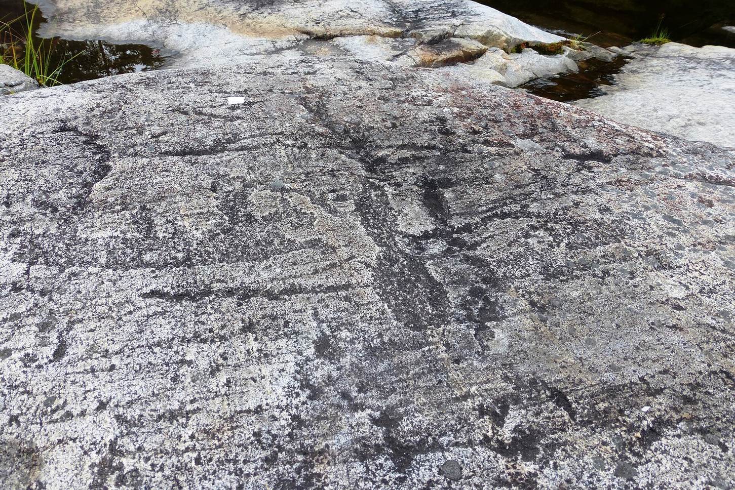
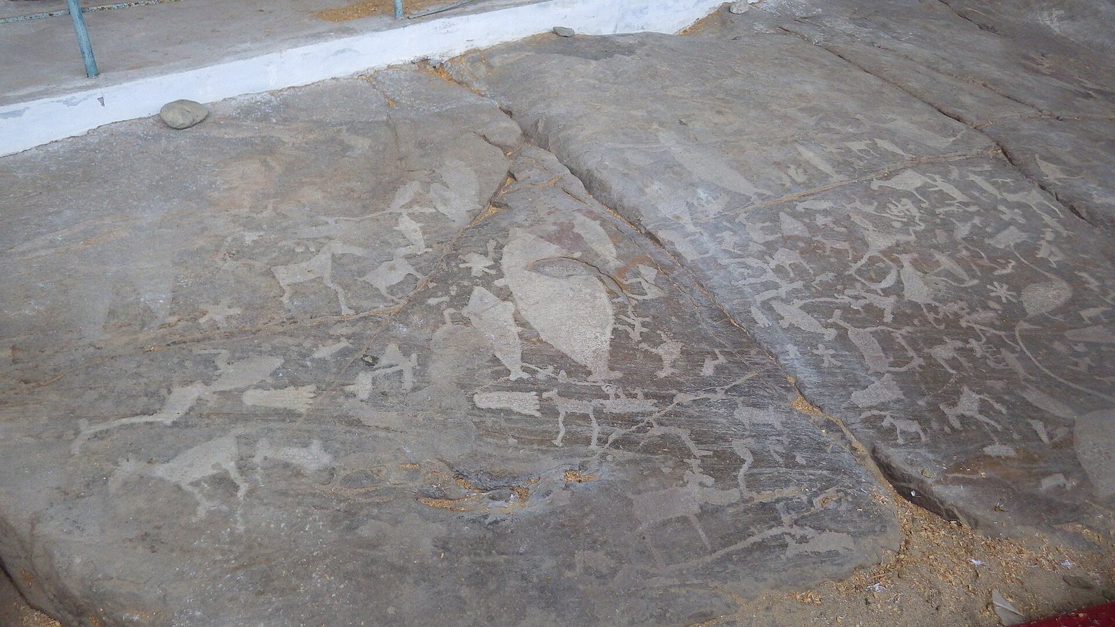
The complex has dozens of image fields containing more than 2,000 figures, estimated at about 2,300. Individual carvings range from 3 cm to 3 m, with most measuring 15–60 cm. A 2009 count recorded 216 figures at Staraja Zalavruga; 1,176 in fields 1–27 at Novaja Zalavruga; 31 in fields 1–4 on the Unnamed Islands; 157 in fields 1–3 at Erpin Pudas; 470 in the northern and 60 in the southern Besovy Sledki fields; and 19 at Zolotets. The images show people and animals, hunting and battle scenes, and ritual processions. The complex includes Europe’s oldest depiction of a person on skis.
Besovy Sledki
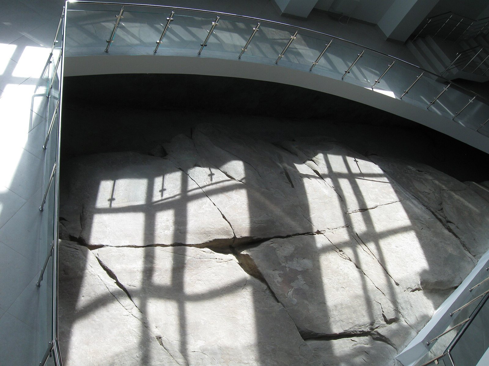
Besovy Sledki, meaning “Demon’s Footprints,” is a coastal rock at the northern end of Šoirukša island, dated to the fifth and sixth millennia BC. Eight bare footprints run along its lower edge and end at a figure standing among a group of other figures. The prominent figure has been interpreted as a master or deity, and the engraved rock as a place of sacrifice. The rock is the principal exhibit in a municipal museum branch devoted to the Belomorsk petroglyphs.
Erpin Pudas and Zalavruga
Erpin Pudas lies about 400 m east of Besovy Sledki. Staraja and Novaja Zalavruga are about 1.5 km northeast of Besovy Sledki, both on Bolšoi Malinin island. Zalavruga is particularly noted for scenes of Stone Age life, including the depiction of a person on skis.
Zolotets
Zolotets I, dated to the first half of the third millennium BC, contains more than 50 figures. One unusual waterbird has its head set inside an oval shape resembling an egg. Zolotets II comprises three swans with necks somewhat longer than their natural proportions. Their form resembles swans in the Lake Onega petroglyphs, and the images may point to connections between ancient communities around the White Sea and Lake Onega.
Excavated finds
Excavations across the complex have recovered about 200,000 objects, including stone tools and fragments, pottery fragments, iron objects, and ornaments made of amber and bronze.