Palamari: A Bronze Age Fortified Settlement on Skyros
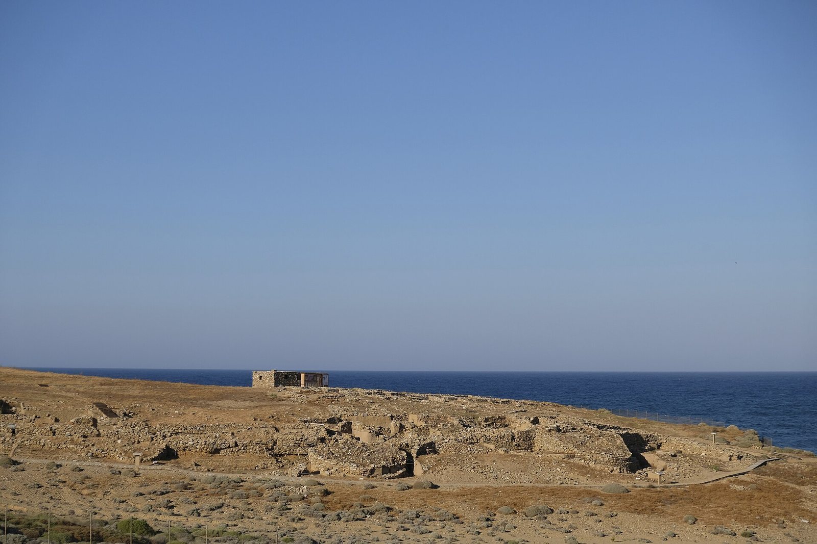
Site at a Glance
- Popularity
- Very Low
- Country
- Greece
- Primary era
- Bronze Age
- Eras represented
- Bronze Age
- Civilizations
- Unclassified
- Site type
- Military
- Remains
- Fortified Town
On this page8 sections
History
Palamari is a fortified Bronze Age settlement on the northeastern coast of Skyros, Greece, occupied from about 2900 to 1700 BCE. Its successive building phases reveal a long history of rebuilding and reorganization in a coastal community.
Bronze Age occupation
The settlement’s four building phases fall within Early Bronze Age II and III and Middle Bronze Age I, archaeological subdivisions of the Bronze Age. Palamari I belongs to Early Bronze Age II; Palamari II spans the end of Early Bronze Age II and the beginning of Early Bronze Age III; Palamari III belongs to the end of Early Bronze Age III; and Palamari IV dates to Middle Bronze Age I. Finds from these phases indicate roughly a millennium of continuous occupation. Buildings and open spaces were repeatedly reconstructed, while the fortifications and drainage system were also repaired or rebuilt. The settlement was abandoned after its latest phase.
Fortifications and Aegean exchange
Palamari’s horseshoe-shaped bastions, projecting defensive structures, belong to a fortification type characteristic of Bronze Age Aegean coastal settlements. This form was first uncovered during late nineteenth-century excavations at Kastri on Syros and was later found at Lerna, Kolona on Aegina, Naxos, Amorgos, the Heraion on Samos, Thasos, Imbros, and Liman Tepe. Settlements of this type are associated with metal-exchange routes linking the southern Black Sea coast and the Levant, as well as with obsidian exchange supplied from Milos. The type of fortified settlement first emerged in Canaan, an ancient region of the eastern Mediterranean.
Discovery and archaeological investigation
In 1979, Skyrian antiquarian Achilleas Katsarlias found the settlement while collecting pottery fragments and obsidian flakes from sandy deposits on the Kastraki promontory. Evi Touloumi, an official responsible for antiquities in the Euboea and Skyros area, conducted exploratory excavations in 1981. Archaeologists Maria Theohari and Liana Parlama continued the work and made the initial dating of the settlement. The Greek Ministry of Culture declared Palamari an archaeological monument and carried out systematic excavations from 1985 to 1998.
Earthquakes and intense erosion caused the coast to subside, destroying the eastern and far northeastern parts of the settlement.
Remains
The settlement covers 6.9 hectares on the rocky Kastraki promontory. Its densely built areas, containing houses, streets, and workshops, were enclosed by fortifications and outer enclosure walls. The promontory bounds Palamari Bay to the north, while the Limna stream enters the bay south of the site and may have supplied water to the settlement.
Settlement layout and water management
Some houses have a megaron plan, organized around a principal hall and commonly including an entrance porch. Rectangular drainage channels carried water from the residential area beyond the fortifications and enclosure walls toward the outer defensive ditch. During the third and second millennia BCE, the shoreline lay as much as 200 m seaward of its present position, to the southeast. The bay south of the settlement then provided shelter from strong seasonal northeastern Aegean winds, known as meltemi, and an anchorage in a shallow lagoon at the mouth of the Limna.
Northwestern fortification
The northwest defensive wall extends for 85 m and includes five bastions, identified as OA, A, B, G, and D. A lower enclosure wall, 80 cm wide, reinforces it. The bastions rise 2.20–3.60 m and stand directly on natural bedrock. The masonry is well preserved, with its construction phases visible. In front of the enclosure wall, a defensive ditch is 6–7 m deep and more than 5 m wide. Beyond the ditch, a 60 m-long defensive belt, 3–3.50 m wide, consists of 220 upright limestone stones and formed the settlement’s first line of defense.
Southern fortification
The southern branch of the fortification is also 85 m long. It joins the northwestern wall at bastion E, then continues east down a steep slope toward the shore. Three further bastions, ST, Z, and H, reinforce the wall, which also has an outer enclosure wall. Erosion and collapse are visible in the masonry, together with numerous additions and repairs.