Hadsar: A Hill Fort Associated with an Ancient Trade Route
Site at a Glance
- Popularity
- Medium
- Country
- India
- Primary era
- Classical
- Eras represented
- Classical
- Civilizations
- Satavahana
- Site type
- Military
- Remains
- Fort
On this page10 sections
History
Satavahana Tradition and the Route
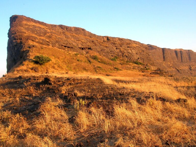
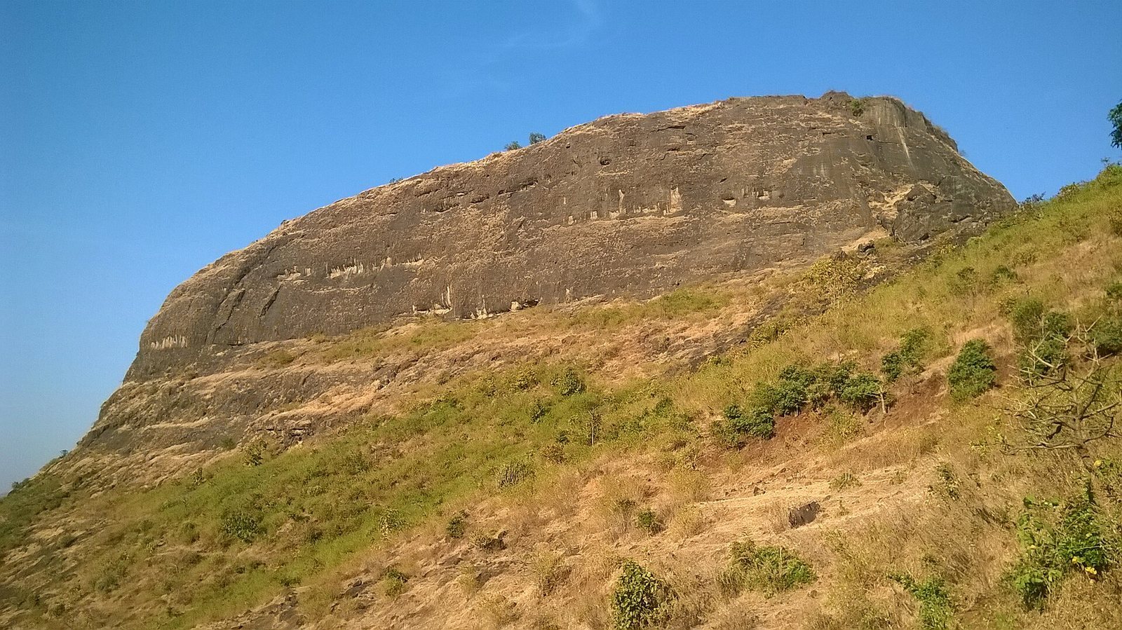
Hadsar is a hill fort on a rocky summit in Pune district, Maharashtra, India, about 14 km northwest of Junnar. Local tradition places it in the Satavahana period, the era of an ancient Deccan dynasty dated approximately from 230 BCE to around 220 CE. The fort probably helped guard and protect a commercial route from Maval to Kalyan by way of Naneghat.
Treaty of Purandar and British Occupation
Hadsar was mentioned in the 1665 Treaty of Purandar, an agreement between the Mughal Empire and Shivaji, a Maratha ruler and military leader. British forces took control of the fort in 1818, but made little use of it.
Remains
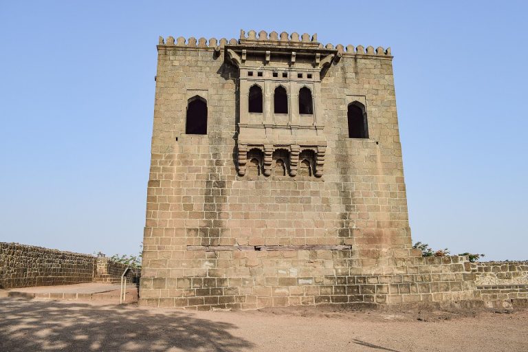
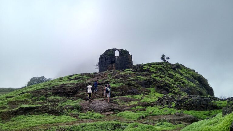
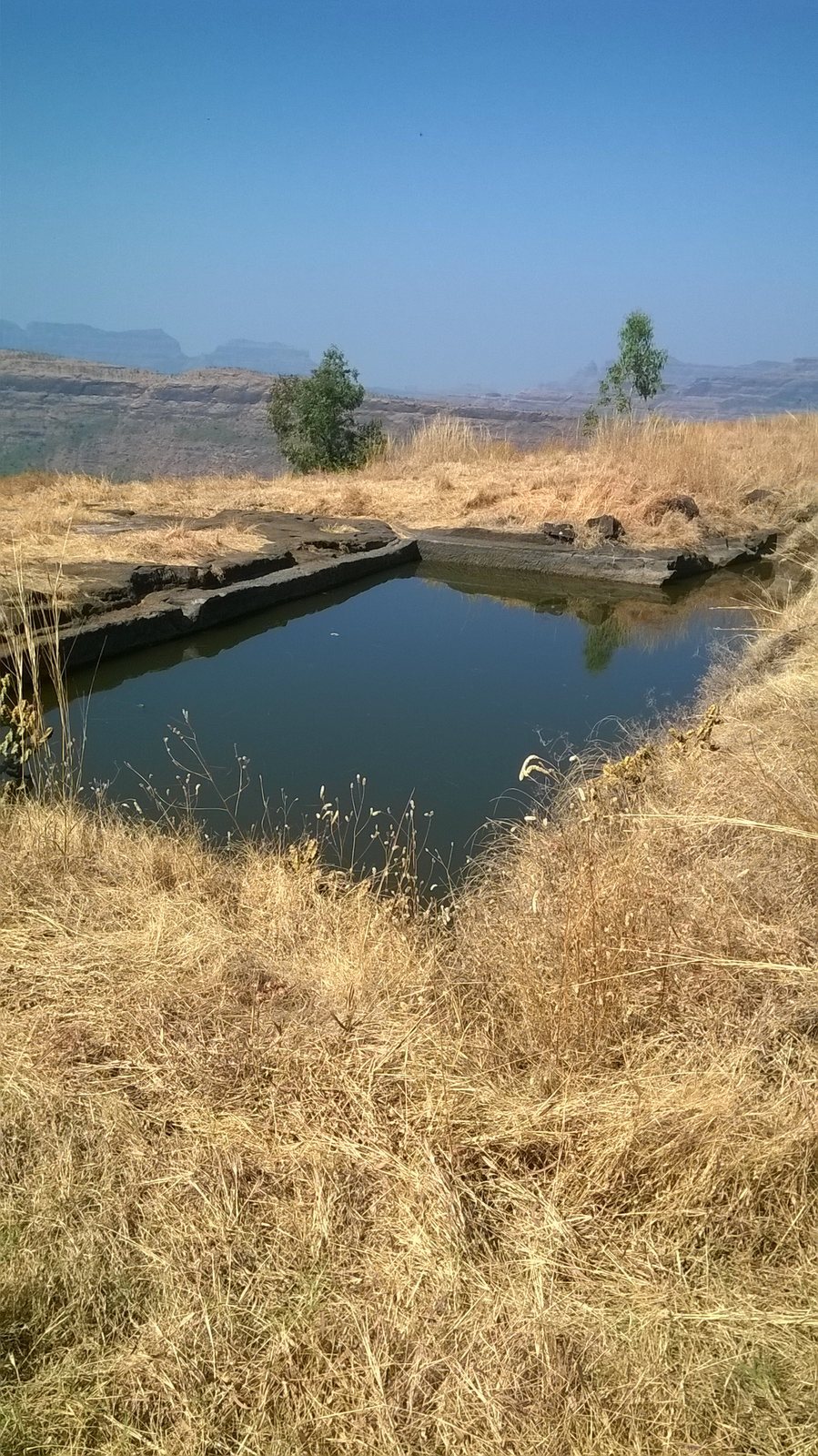
The fort occupies a rocky summit at about 1,000 m (3,200 ft) and is now in ruins. Its defenses and internal features were cut into the rock, while a large lake lies within the fort and a temple stands at the summit.
Rock-Cut Defenses and Access
Bastion and Entrance
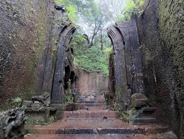
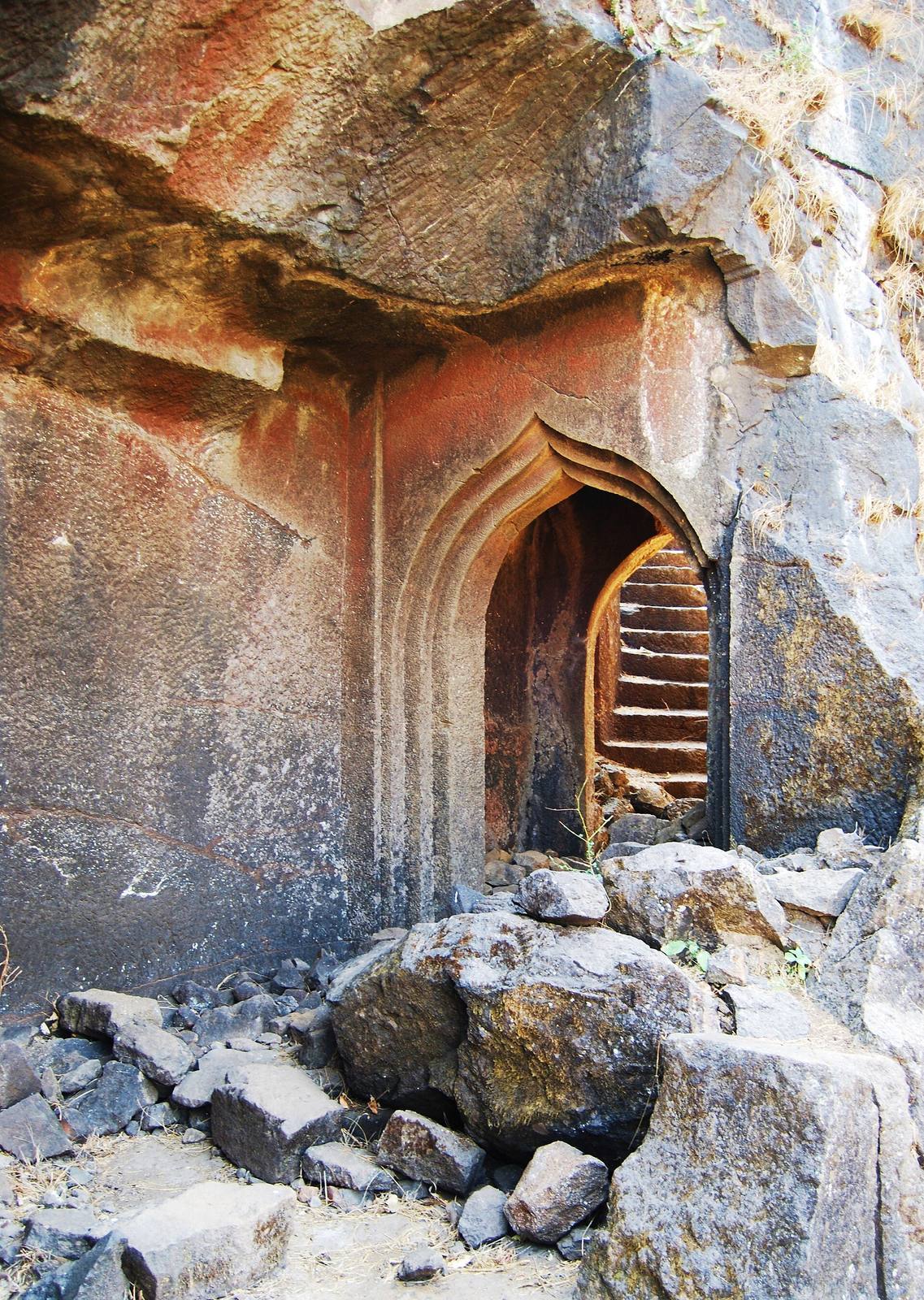
The bastion, a projecting defensive structure, and the entrance were carved from a single mass of rock. The entrance has two doorways.
Sentry Rooms, Steps, and Cisterns
Rock-cut sentry rooms, steps, and water cisterns, or storage tanks, form other features of the fort.
Summit Features
Temple and Lake
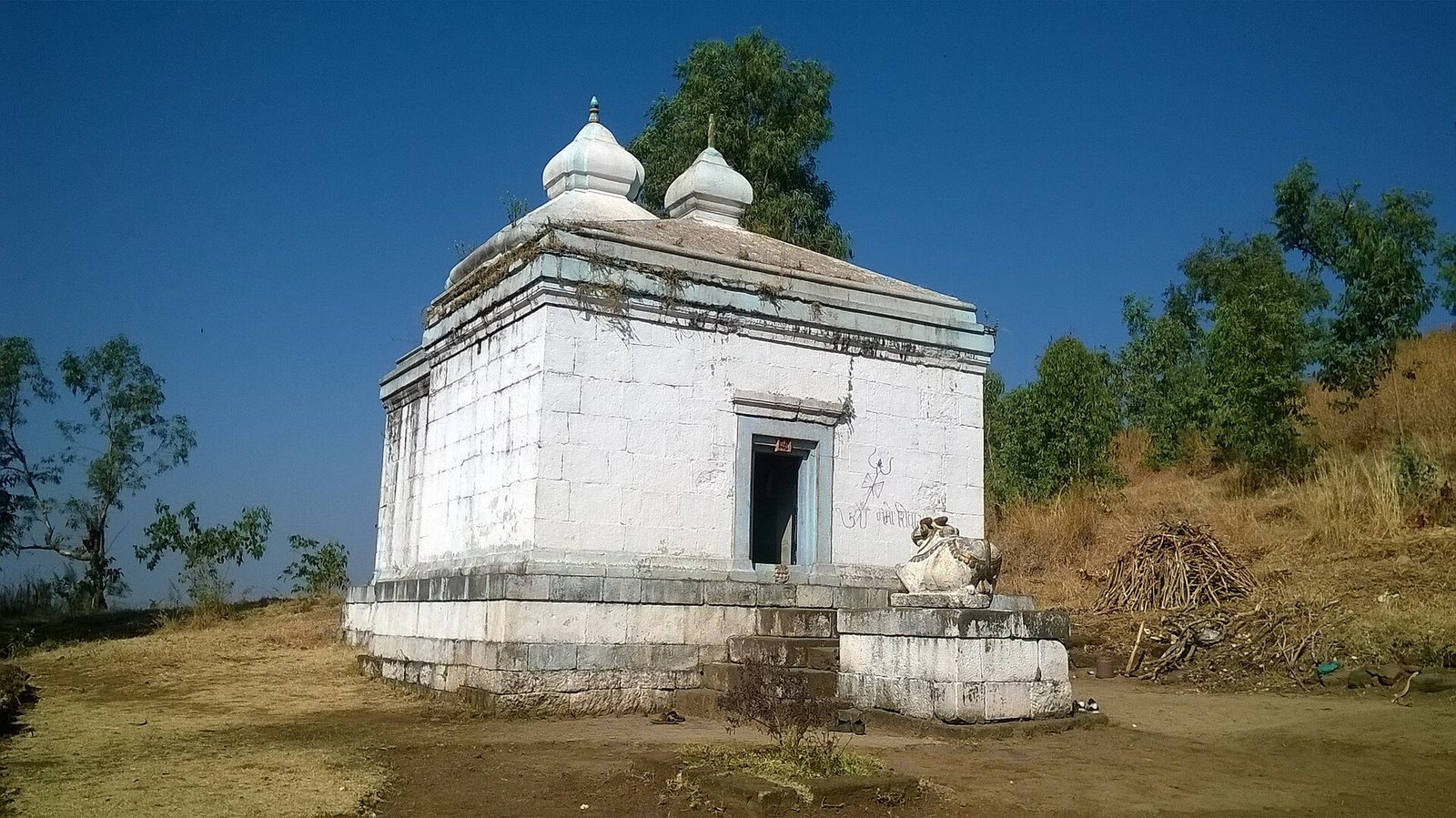
A simple temple dedicated to Mahadev, a name for Shiva, stands at the summit. A large lake is located within the fort.
Carved Images
Stone-cut images associated with Hadsar include Ganesh, a deity linked with beginnings and wisdom, and Garud, a divine bird associated with Vishnu. A carving of Hanuman, revered for strength and devotion, is found in the fort’s surroundings.