Great Salbyk Kurgan: A Saka Burial Mound in Khakassia
Site at a Glance
- Popularity
- High
- Country
- Russia
- Primary era
- Iron Age
- Eras represented
- Iron Age
- Civilizations
- Scythian
- Site type
- Burial
- Remains
- Burial Mound
On this page10 sections
History
The Great Salbyk Kurgan is a Saka burial mound in Khakassia, Russia, generally dated to the first millennium BCE, although its exact construction date is uncertain. It belongs to the Tagar culture, an Iron Age archaeological culture centered in the Minusinsk Basin; the Saka were an ancient people of Central Asia and the Eurasian steppe. The mound is interpreted as the tomb of a Saka nobleman, accompanied by his wives and enslaved people. It is the largest mound of the Tagar culture and the largest megalithic, or very large-stone, mound in the Middle Yenisei basin.
The site lies in the Salbyk tract in Ust-Abakan District, northwest of Abakan, in the western Minusinsk Basin and south of the Batenev Ridge. It is part of the Valley of the Kings, a regional name for an archaeological landscape in Khakassia.
Burial and later disturbance
The mound had been looted in antiquity. A large pit on its western side points to further robber excavation in the eighteenth century.
Gerhard Friedrich Müller made the earliest known written description of the mound in 1739, during the First Academic Expedition, which ran from 1733 to 1743.
Excavation and protection
From 1954 to 1956, an expedition led by Soviet archaeologist S. V. Kiselev excavated the mound. The team included researchers from the Institute for the History of Material Culture and the Khakass Research Institute of Language, Literature and History. The State Hermitage’s Sayan-Altai Archaeological Expedition, led by L. S. Marsadolov, later investigated the mound and the Valley of the Kings in 1992, 1994, 1996, 1998, 2008 and 2010, including possible astronomical alignments.
The Great Salbyk Kurgan is protected by the Russian state as a cultural heritage monument of federal significance.
Remains
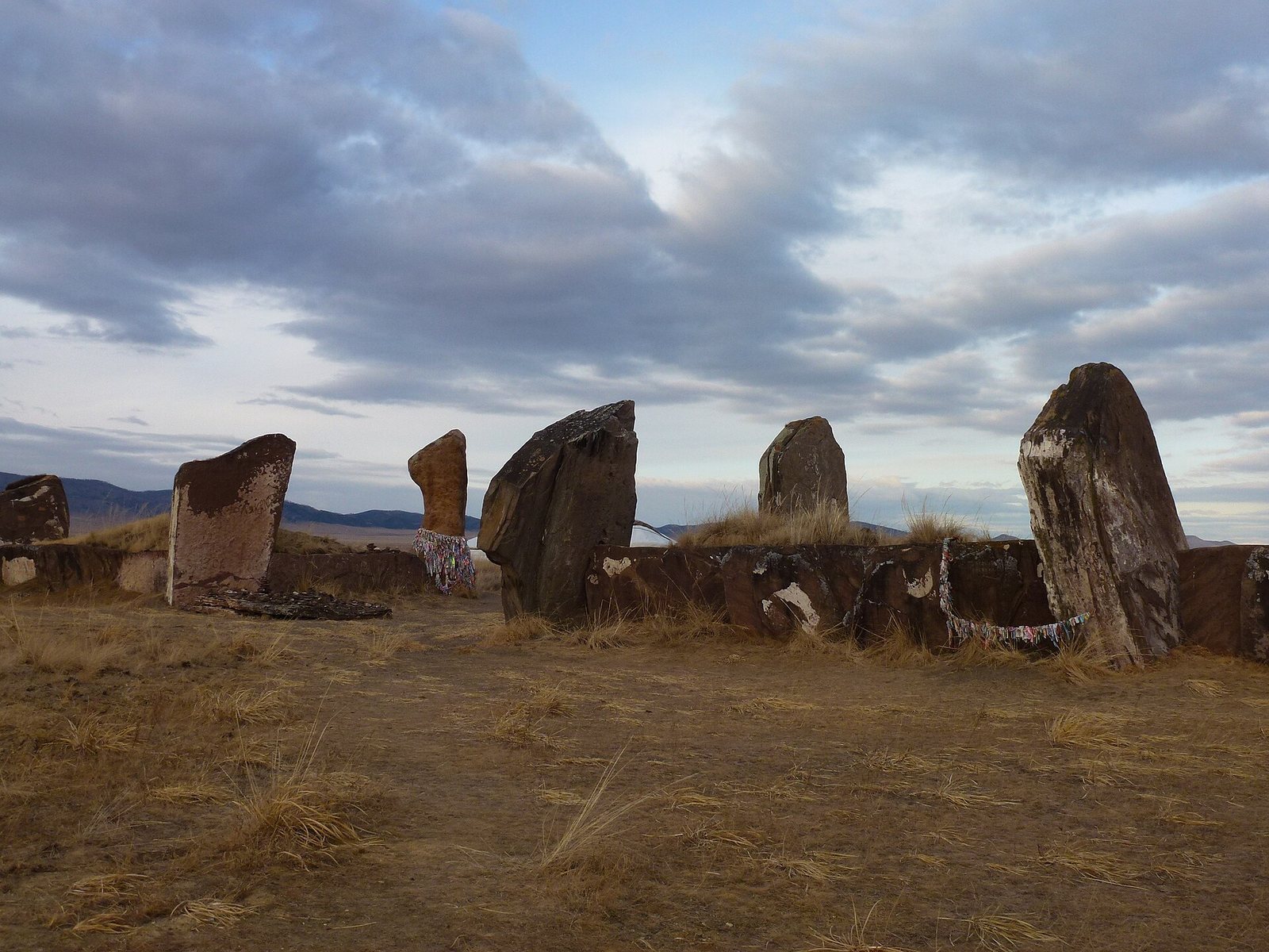
The monument originally combined a square stone enclosure with an earthen mound shaped like a pyramid. The stone perimeter enclosed the earthwork, and paired entrance stones are among the features that can still be identified.
Enclosure and earthwork
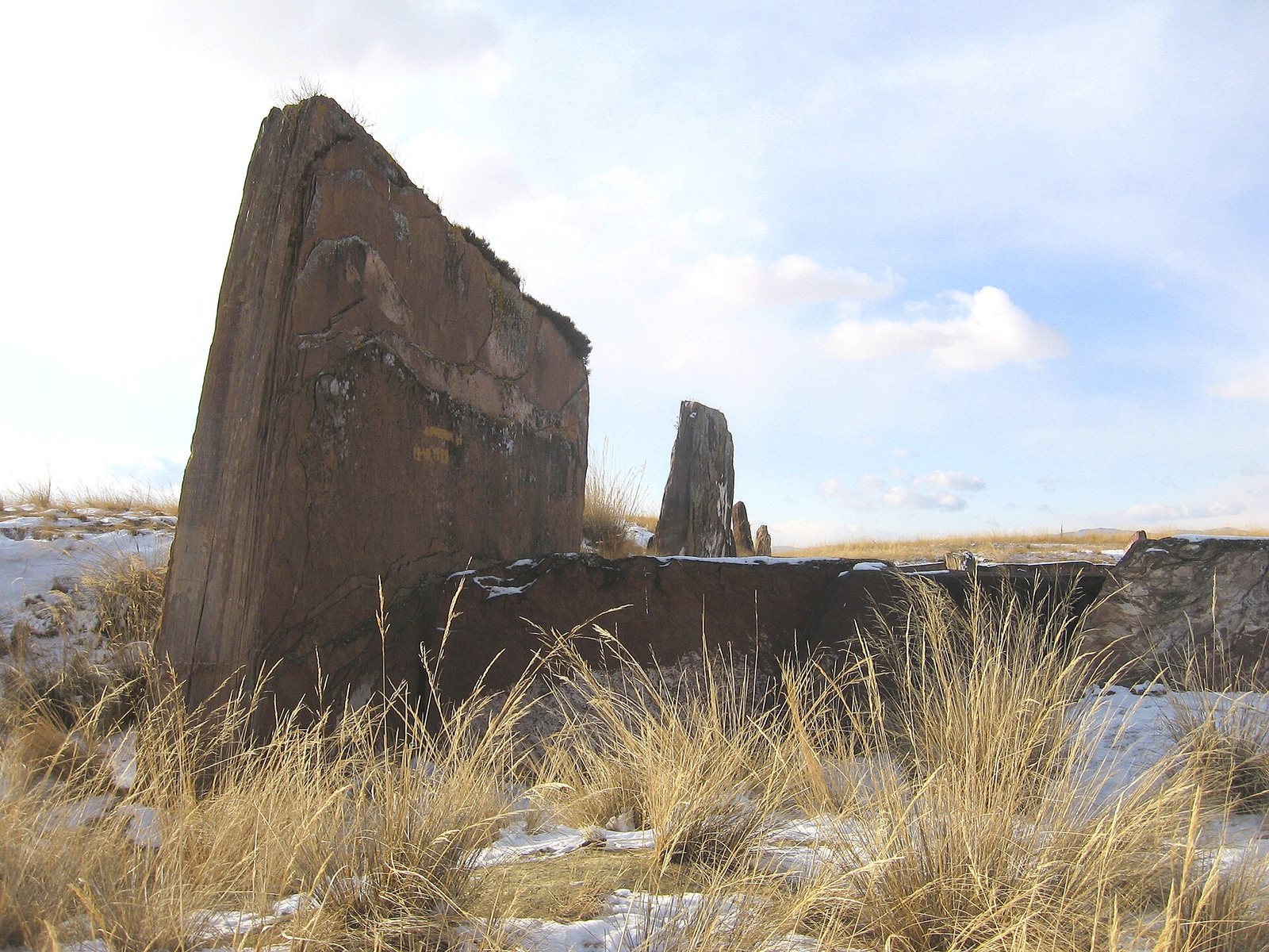
Stone perimeter
The enclosure measures 71 metres in length and is formed from enormous slabs of Devonian stone, from a period in Earth’s geological history. Horizontal slabs make up the walls. The stones are estimated to weigh between 50 and 70 tonnes and were transported about 100 kilometres from the banks of the Yenisei River. Their positions appear to correspond with sunrise and sunset at different times of the year, and may have had an astronomical function.
Earthen mound and western pit
The earthen mound originally stood about 21 metres high. Before excavation it was 11.5 metres high, with a circumference of about 500 metres. Although the earthwork had slumped, layers of turf separated by finely washed clay helped it retain its geometric form. Excavation removed the earth, leaving the perimeter slabs exposed. The western pit reaches up to 19 metres across and 5 metres deep; the eastern side and western wall of the enclosure are also identifiable.
Wider burial landscape and finds
Surrounding mounds
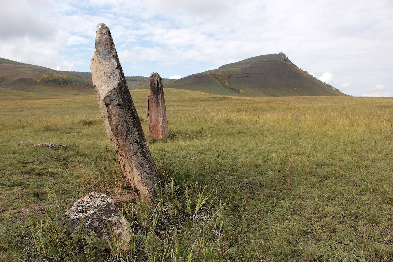
Within about five kilometres, the Salbyk steppe contains 56 burial mounds. Five are only slightly smaller than the Great Salbyk Kurgan, while the others stand between 4 and 6 metres high. About 30 additional, smaller mounds lie elsewhere in the Valley of the Kings.
Associated objects and rock art
Materials associated with the mound include a knife, a millstone, clay vessels and wood, as well as petroglyphs, images carved or pecked into rock. The Salbyk Kurgan Museum identifies two petroglyphs from the Valley of the Kings, one of them in an animal style.