Marcahuamachuco: A Pre-Inca Political and Ceremonial Center in Peru
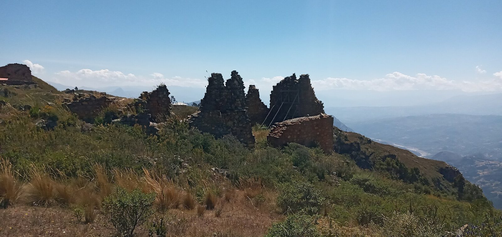
Site at a Glance
- Popularity
- Medium
- Country
- Peru
- Primary era
- Medieval
- Eras represented
- Medieval
- Civilizations
- Unclassified
- Site type
- City
On this page8 sections
History
Marcahuamachuco is an archaeological complex on a highland plateau about 3 km northwest of Huamachuco, Peru. Before its conquest by the Incas in the fourteenth century, it was a major political, economic, and military center whose influence reached across much of northern Peru and into what is now southern Ecuador.
Construction and regional role
The construction chronology remains uncertain. Monumental building was underway by the Middle Horizon and may have begun in the late Early Intermediate Period. It continued through the Middle Horizon and may have lasted into the early Late Intermediate Period. These are successive periods in Andean archaeological chronology.
Marcahuamachuco probably served as a political and religious center, and may also have functioned as a ceremonial oracle, a place where people sought divine guidance. Such an oracle may have drawn people from across the northern Andes, including areas now in Peru and Ecuador. Religious practices probably involved an earlier cult of Ataujo and a later one of Catequil, deities associated with northern Andean traditions; Catequil was a prominent deity in the region.
The center’s regional influence may have been connected to trade, particularly around AD 650–700. Possible trading links included the Mochica culture to the west, Recuay to the south, Cajamarca to the north, and communities in the Marañón region.
Burial and abandonment
Burials within the walls became part of the site’s later use. They date from the later Middle Horizon, approximately AD 700–900, and may have continued into the Late Intermediate Period, perhaps until around AD 1200. Some were associated with the elite.
Marcahuamachuco was probably abandoned in the fifteenth century. In 1991, archaeological researchers John and Theresa Lange Topic proposed that occupation may have been seasonal. They estimated a maximum population of about 6,000, based on the land available for farming and the water supply.
Exploration, research, and conservation
Bishop Baltazar Jaime Martínez Compañón prepared a sketch map of Marcahuamachuco in the eighteenth century. Travelers described and drew the site in the late nineteenth century. Charles Wiener published its first topographical description in 1880 and identified the principal compounds. Ernst Middendorf visited in 1887, describing the compounds and comparing the site with Kuelap.
In 1900, Max Uhle and Julio C. Tello carried out three months of formal archaeological research under the auspices of the University of California, Berkeley. Uhle photographed the site and revised Wiener’s maps. Theodore McCown worked there in the early 1940s, excavating between the monumental galleries and producing more detailed descriptions and maps, as well as a proposed sequence for the site’s cultural development. In 1944, Hans Horkheimer published photographs of stone heads from the site. John Thatcher later used pottery styles to investigate its cultural phases and chronology during fieldwork in 1968–69 and 1973–74. The Huamachuco Archaeological Project, supported by a Canadian team, has studied regional prehistory since 1981 and developed further interpretations of Marcahuamachuco.
The Peruvian government established funding for conservation. In May 2011, the Global Heritage Fund announced that it would provide conservation funding and technical expertise. Marcahuamachuco is recognized as National Cultural Heritage of Peru and is on Peru’s UNESCO World Heritage Tentative List.
Remains
Plateau and compounds
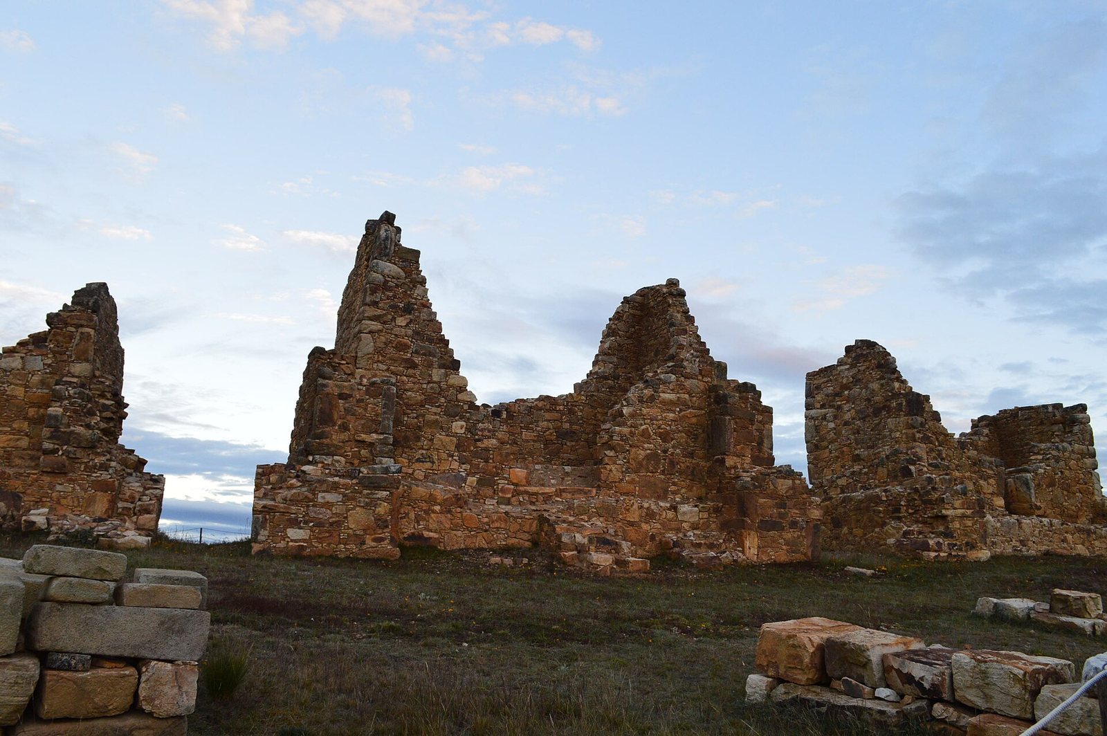
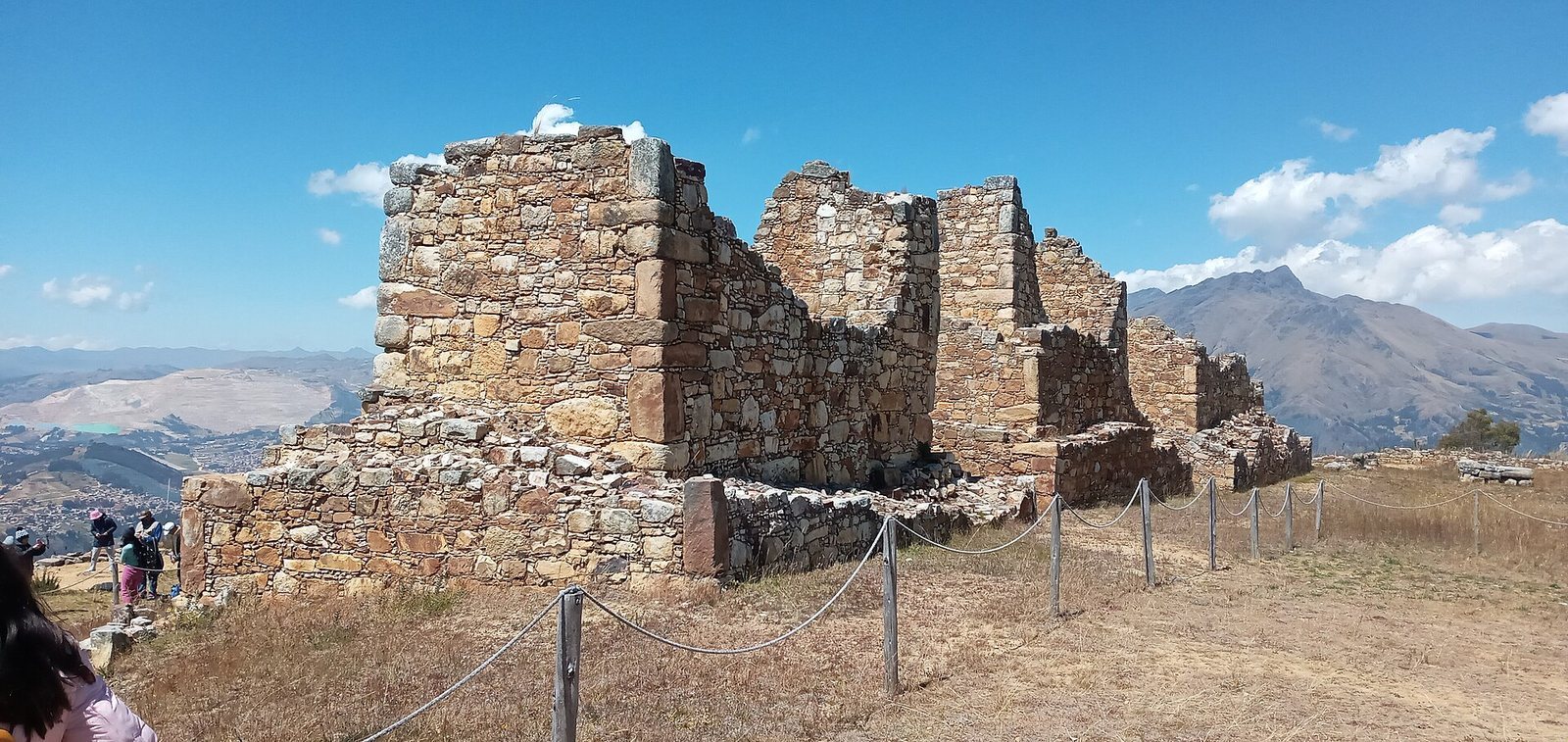
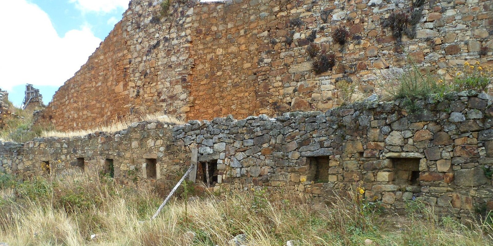
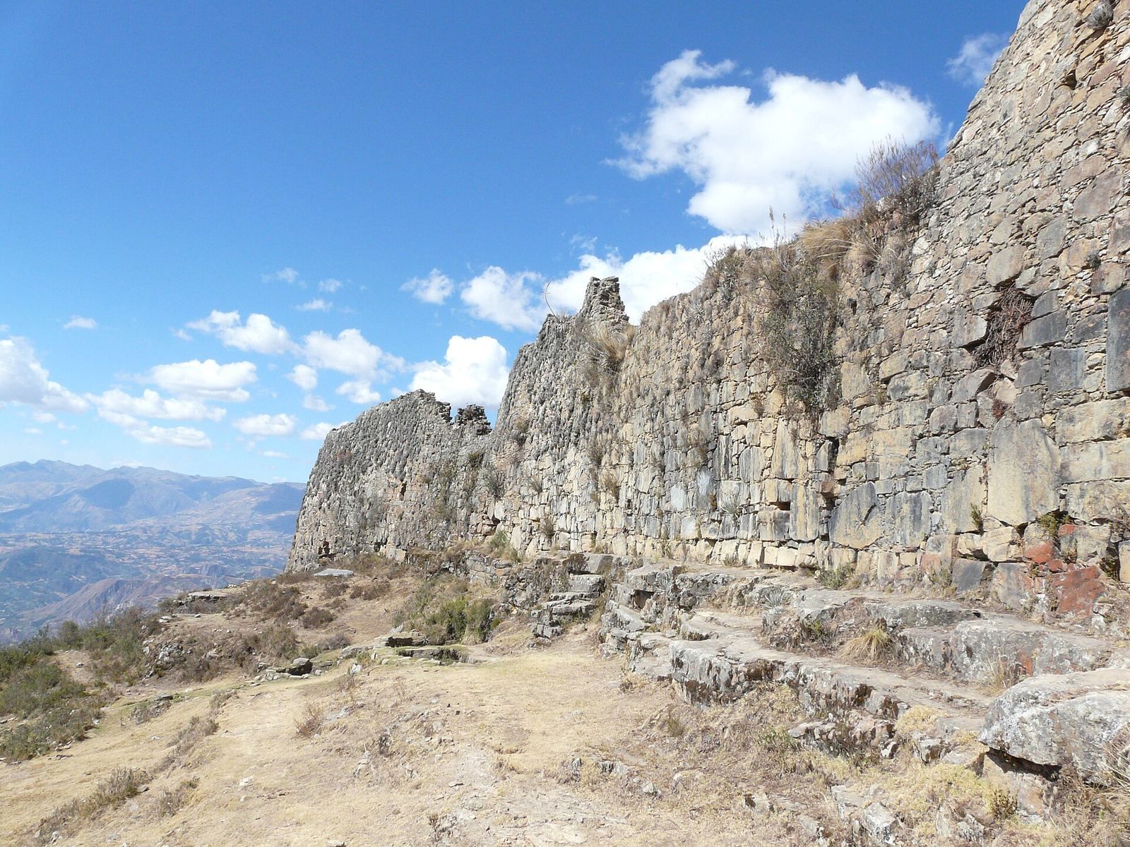
The complex occupies a highland plateau on a mountain of the same name, at an elevation of about 3,575 m, where three mountain valleys meet. It stands on an isolated, level-topped landform about 5 km long and 500 m wide. The archaeological site extends for more than 3 km and comprises several major compounds. Curving stone walls, reaching as much as 12 m high, enclosed these compounds. Within them are galleries, rooms, and plazas.
Buildings and sculpture
The site is noted for massive buildings and distinctive circular structures made with two walls. Its domestic residences took the form of multi-storey galleries, which originally housed numerous individual families. Stone heads from the site resemble examples from Chavín, an earlier Andean culture.
Condition
Natural forces and weather have degraded the ruins. Grazing livestock, plant growth, insufficient conservation and surveillance, and continuing exposure to the elements remain threats to the site.