Fort Hammenhiel: A Dutch Coastal Fort in Sri Lanka
Site at a Glance
- Rating
- 4.5
- Popularity
- Medium
- Country
- Sri Lanka
- Primary era
- Early Modern
- External website
- Open
- Eras represented
- Early Modern
- Civilizations
- Dutch, Portuguese
- Site type
- Military
- Remains
- Fort
On this page7 sections
History
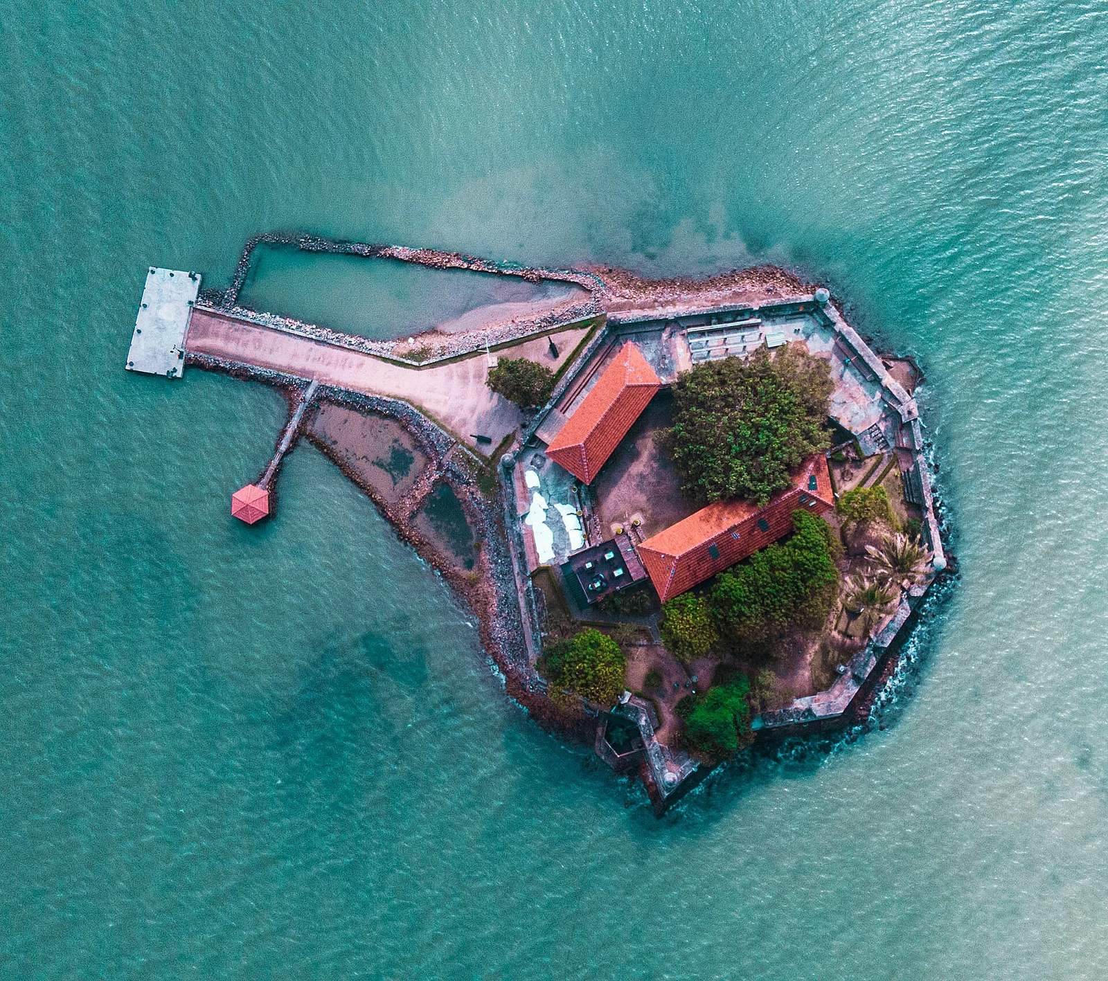
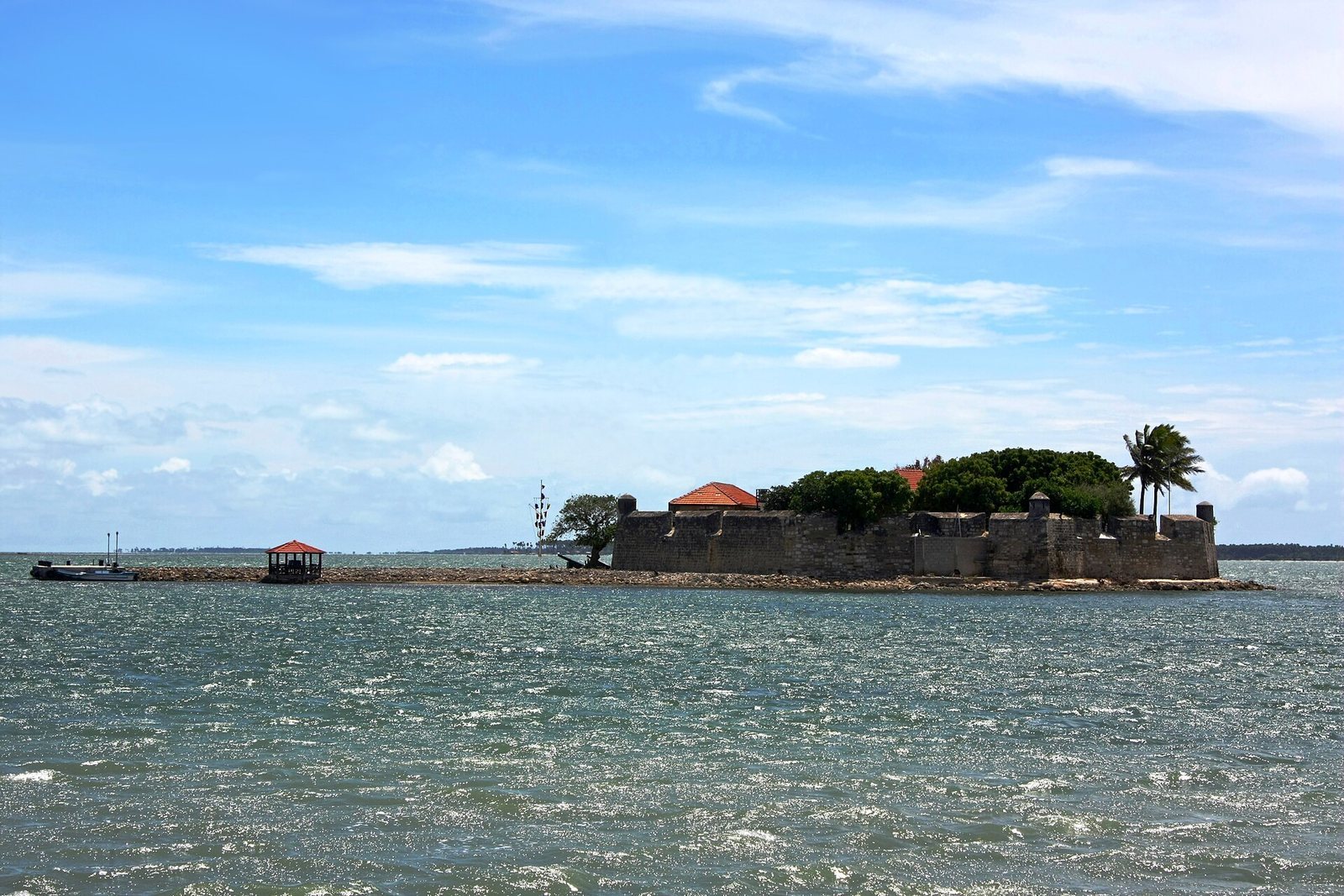
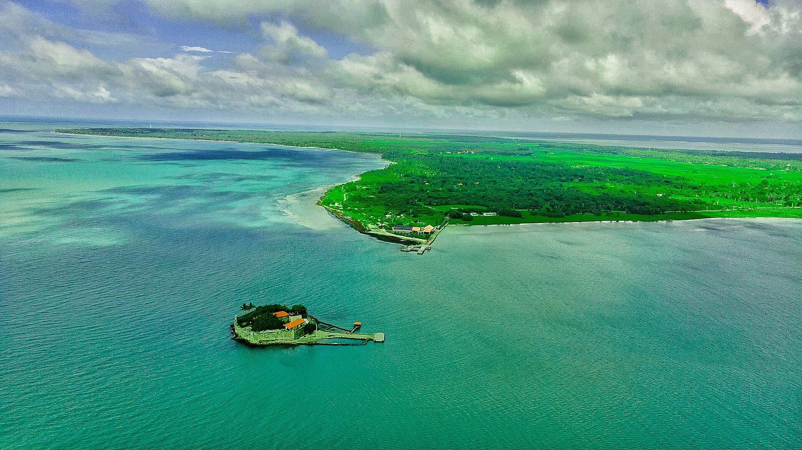
Fort Hammenhiel is a Dutch coastal fort on a small sandbank island between Kayts and Karainagar in northern Sri Lanka, built shortly after 1658 to guard the only navigable sea route into Jaffna’s lagoon.
Portuguese fort and Dutch conquest
A Portuguese fort stood on the site by the mid-seventeenth century. It was called Fortaleza do Caes, meaning Fort Royal. In spring 1658, Dutch forces captured it during their campaign to take Jaffna. The operation was associated with Rijcklof van Goens, a senior Dutch official and military commander, and Captains Cornelies Reb, Piester Waset, and N. van der Reede. Fort Mannar, farther south, had fallen to the Dutch in February.
The Portuguese surrendered after Dutch artillery destroyed their wooden drinking-water tanks. The Dutch had prepared armed boats fitted with protective barriers for an assault, but the attack did not take place. Cannon fire from the islands had not broken through the fort’s walls. The Dutch conquest of Jaffna ended Portuguese rule in Sri Lanka.
Dutch fort and garrison
After the capture, the Dutch built a larger fort incorporating the remains of the Portuguese structure. They considered the position essential to controlling access to the lagoon. From 1659, Van Goens employed surveyor and military engineer Adriaan de Leeuw to design the new fort. The Dutch rebuilt it in 1680, and its garrison numbered about 30 soldiers under a lieutenant or ensign.
In early 1783, Dutch traveler Jacob Haafner passed the fort aboard a dhoni, a traditional Indian Ocean boat, while sailing from the Coromandel Coast toward Jaffnapatnam, the historical name for Jaffna. After an inspection, he received a pass. He described a garrison of an officer and 24 men, usually relieved monthly. He also noted that the fort could stop local vessels, while shallow water kept larger ships at a distance.
British rule and later uses
Britain took Ceylon in 1796. Under British rule, the fort was first used as a maximum-security prison and later as a hospital for infectious diseases. It returned to prison use after Sri Lankan independence.
In late 1944, Admiral Lord Mountbatten ordered the establishment of Camp Hammenhiel to begin a Special Operations Group under British Colonel Humphry Tollemache. Mountbatten visited with Tollemache in November that year. In 1971, Rohana Wijeweera, founder of the Janatha Vimukthi Peramuna, a Sri Lankan political movement, was detained at the fort after his arrest. Other prisoners from the failed 1971 insurrection were held there as well. The Sri Lankan Navy later used the fort to detain sailors accused of misconduct, before converting it into a Navy-operated hotel.
Remains
The fort occupies a small, rocky sandbank island between Kayts and Karainagar. Its roughly circular enclosure stands on ground that rises higher and becomes rockier toward the northeast.
Walls and entrance
Seven coral-stone walls, each about five metres high, form a plan roughly 40 metres across. Together they contain 17 firing openings. A triangular projection on the northeastern wall provides a firing line along the wall. On the southern side, a gate opens onto a jetty, connecting the enclosure with the surrounding water.
Interior and Dutch rebuilding
Within the walls, a small courtyard is accompanied by storerooms and barracks for about 30 soldiers. A staircase leads to the wall top, and nine large dungeons were used to store gunpowder. The Dutch rebuilding in 1680 added a stone breakwater, filled the hollow ramparts, and replaced the upper floor with a stone vault. It also included a large brick-lined drinking-water reservoir. The reservoir rose above the walls’ protection, a flaw noted during later inspections but never corrected. The fort remains in good condition.
The name Hammenhiel means “heel of the ham.” The Dutch compared Sri Lanka’s outline on a map to an upside-down ham and placed the fort at its heel.